

Antelope Island State Park is a Utah State Park on an island 25 miles north of Salt Lake City. Antelope Island is more than 28,000 acres (11,340 ha) of rolling fields and hills, and is 15 miles (24 km) long and 4.5 miles (7.2 km) wide.
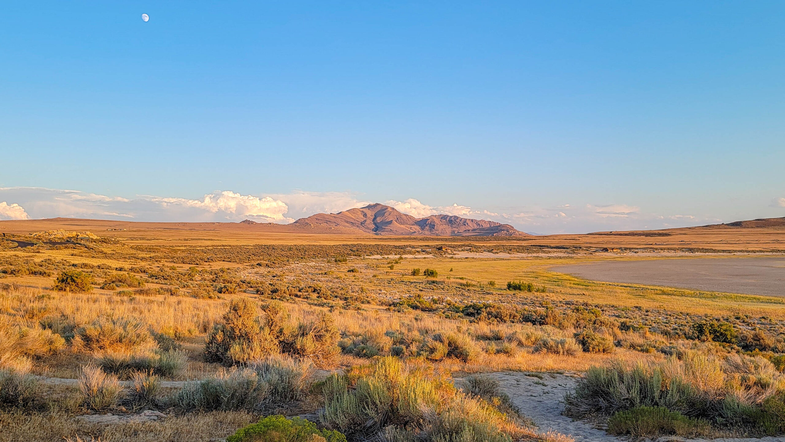
The island is accessed by a causeway which comes across from the mainland in the South part of Ogden near the suburb of Syracuse. The island sits in Great Salt Lake and features free-roaming bison and Pronghorn Antelope herds, and also Mule deer and Bighorn sheep. The animals are supported by more than 40 fresh-water springs throughout the island.
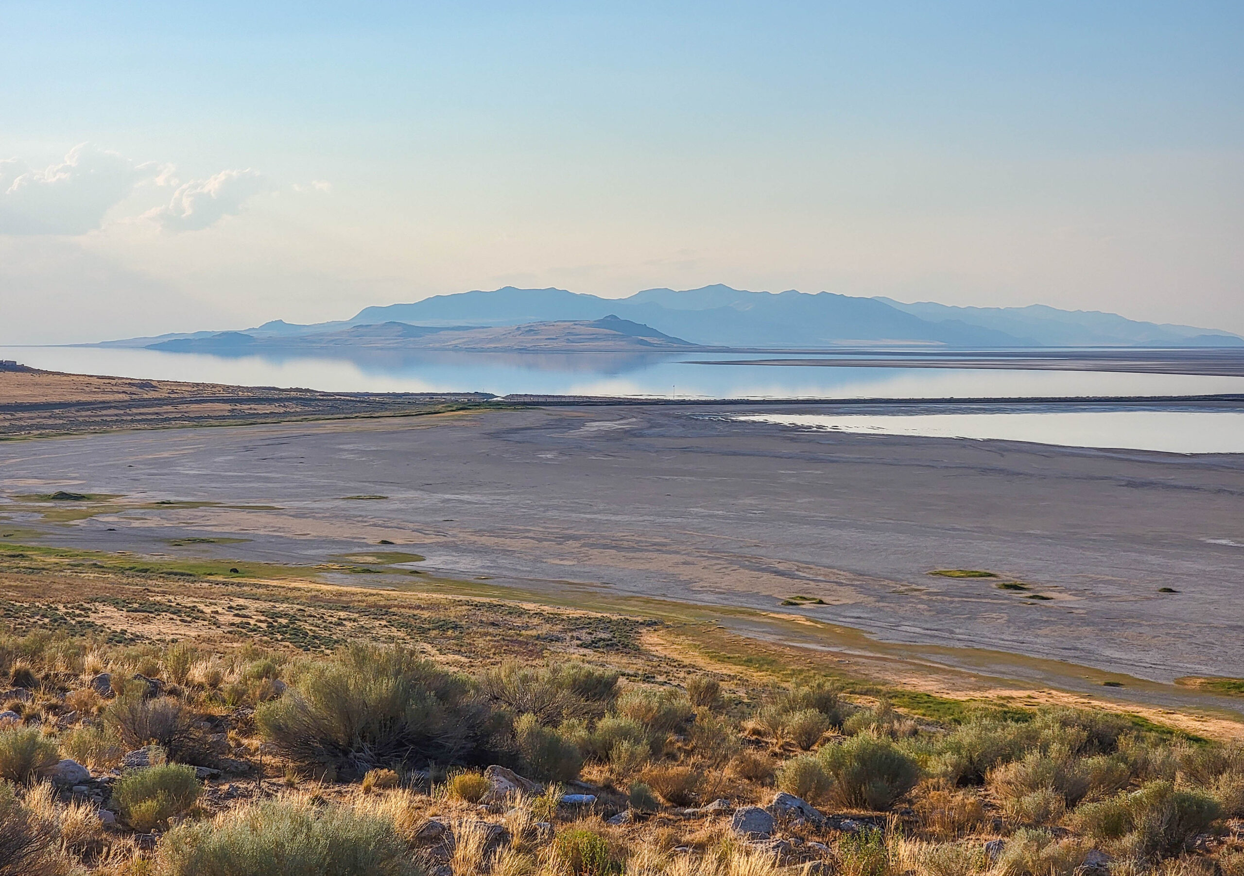
Antelope Island is at an altitude of 4,200 feet at the shore, but rises in the South to Frary Peak, the island’s highest point at 6,596 feet.
Antelope Island State Park is a Utah state park, but was once considered for national park designation. The first known Anglo exploration of the island was in 1845 by John Fremont and Kit Carson. The island was settled in 1848 by Fielding Garr who built the far house you can still find on the island. The ranch house he built is the oldest Anglo-built structure in Utah still on its original foundation, and is currently used for tours and historic demonstrations.
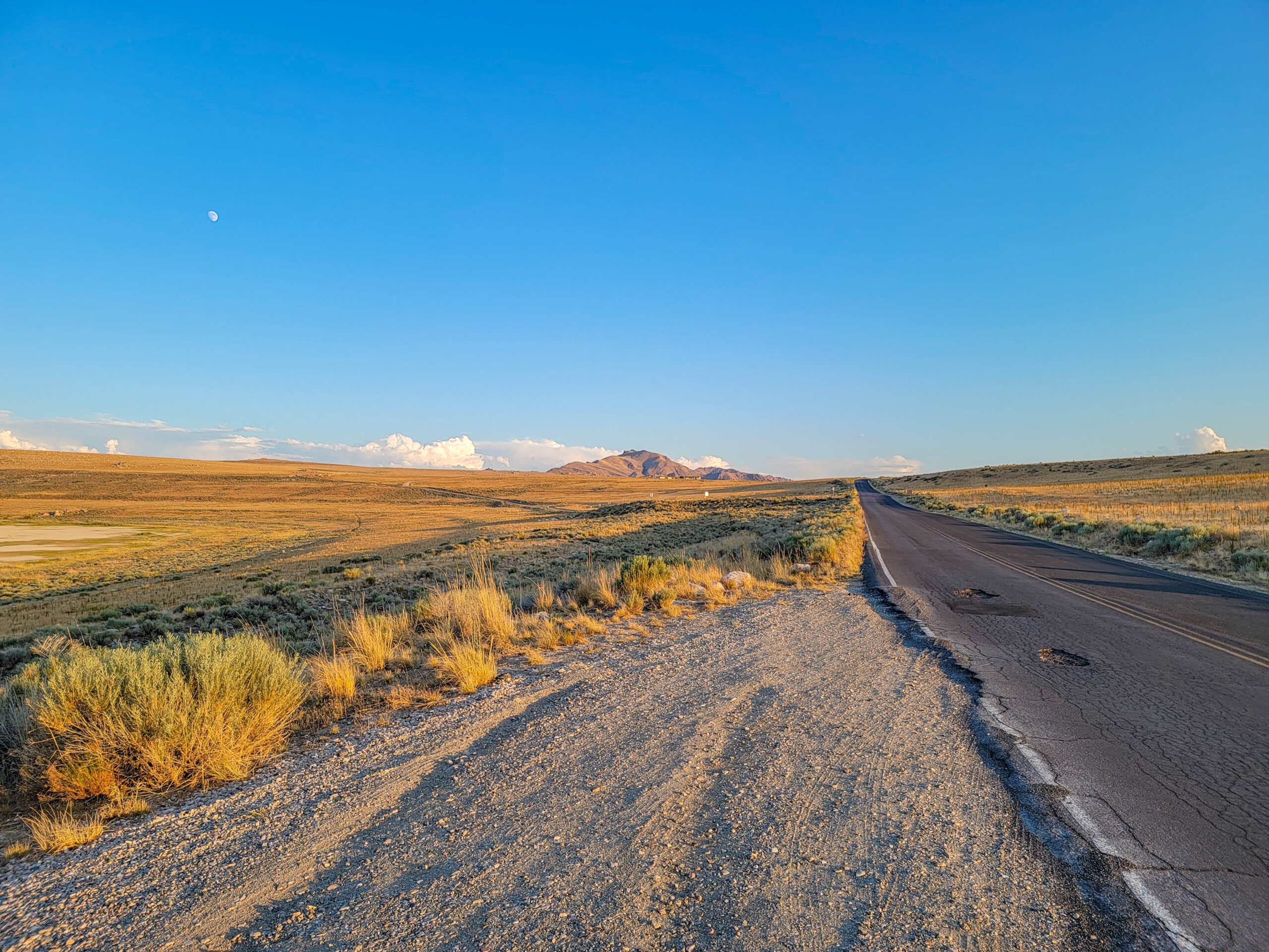
The ranch house is nearly at the end of Antelope Island Road, if you follow it in from the causeway. On the island the road changes to East Side Road. This is the major artery on the island and leads to the South end of the island and the Fielding Garr Ranch.
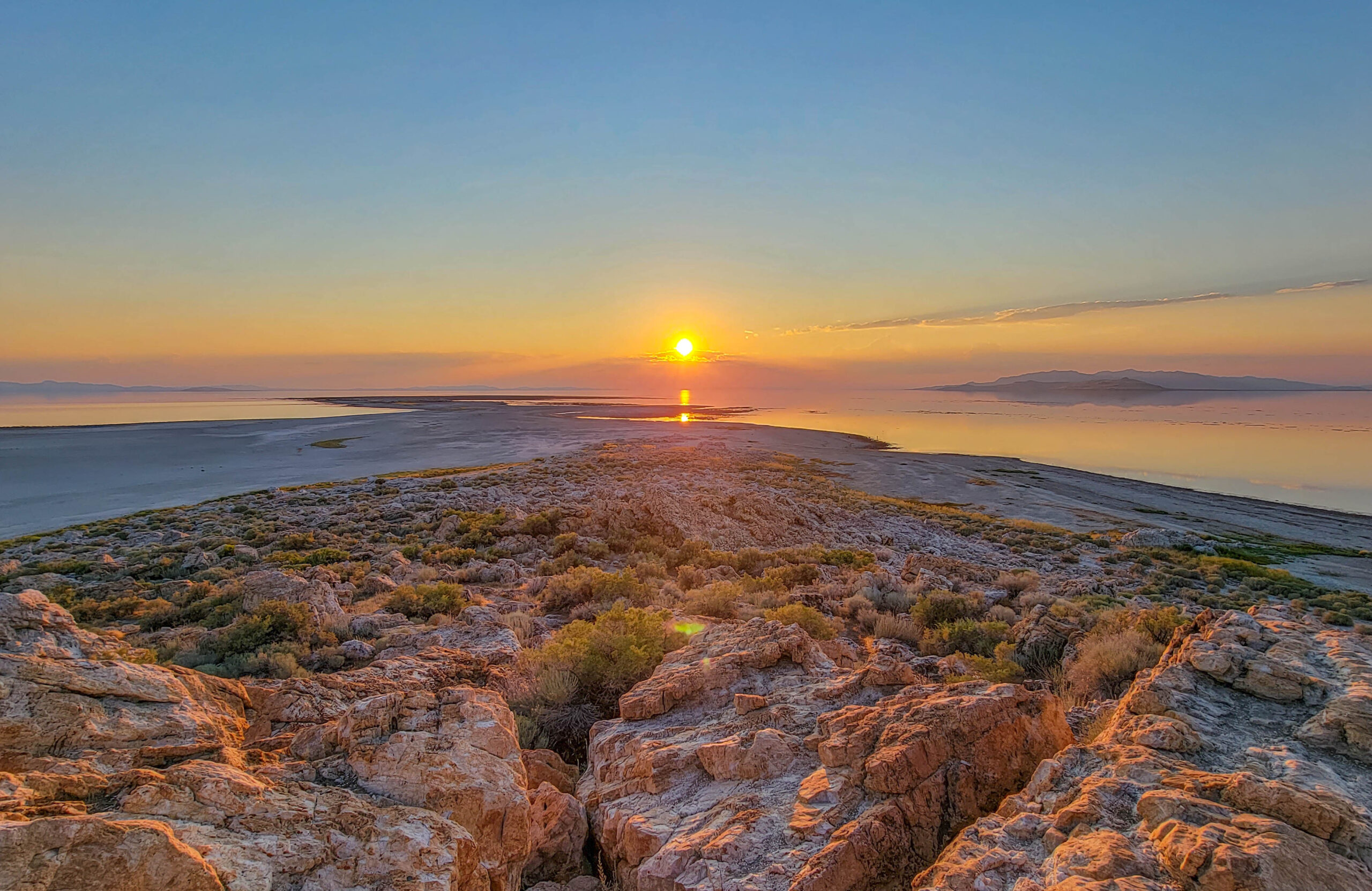
We watched a nice sunset from Lady Finger Point hiking trail. Lady Finger Point is a 0.50 mile round trip hiking trail over some rocks to a point on the Northwest tip of the island. This was a great spot for sunset, with a sweeping view over the lake to the horizon.
To read more about Antelope Island, visit the Utah State Park website at: Antelope Island State Park


0 Comments