Locations

Explore Constantly is a blog of hiking, biking, skiing, sightseeing, and photography travel. It includes posts on amazing places to travel for hiking, biking, skiing, sightseeing, nature walks, and photography. The posts include details on features, services, and activities at each location, and frequently includes recommendations for restaurants, breweries, and places to stay.

Activities

Explore Constantly is a blog of hiking, biking, skiing, sightseeing, and photography travel activities. This includes reviews and details for hiking and biking trails, scenic overlooks, and wildlife refuges, among many other activities.

Map

The Explore Constantly map is a collection of all the locations and activities we’ve visited and written blog posts about. It’s organized in a Google Map-style format to make it easy to research areas you might want to visit, and the activities that are featured there.

Gallery

The Explore Constantly gallery is a group of images we’ve collected on various hiking, biking, skiing, sightseeing, and photography travel adventures. These galleries might include scenery or wildlife photos that weren’t featured in a blog post or additional images of the sights we discussed in various posts.

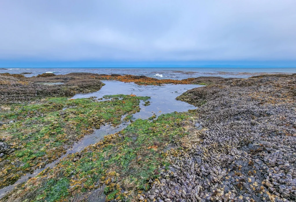
Tidepools and mussel beds at Tongue Point, Salt Creek Recreation Area, Washington
Salt Creek Recreation Area is a 196-acre (79 ha) county park on the Strait of Juan de Fuca, about 15 Read more
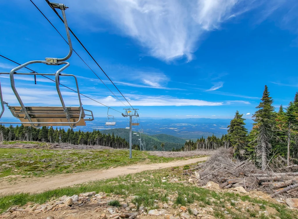
Chairlift and summer view from the top of Mt. Spokane Ski and Snowboard Park, Washington
Mount Spokane State Park is a 12,444-acre park in the Selkirk Mountains about 30 miles northeast of Spokane, Washington, with Read more
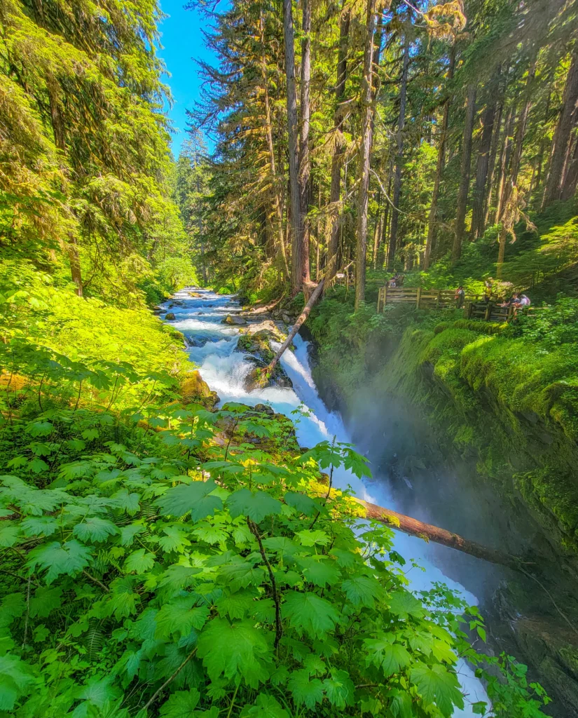
Sol Duc Falls dropping into its canyon in Olympic National Park, Washington
Olympic National Park covers nearly a million acres on Washington's Olympic Peninsula and holds three distinct ecosystems inside one boundary Read more
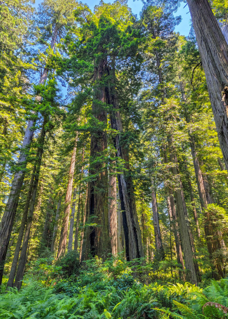
Towering old-growth coast redwoods above a sword fern understory in Redwood National Park, California
The coast California redwoods parks of Northern California run about 150 miles (240 km) along Highway 101, from Crescent City Read more
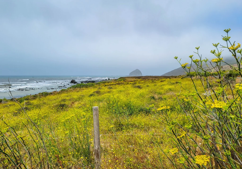
The Lost Coast shoreline with wild fennel and offshore rocks near Cape Mendocino, California
The Lost Coast Scenic Drive runs from the Victorian town of Ferndale south along Mattole Road — locally known as Read more
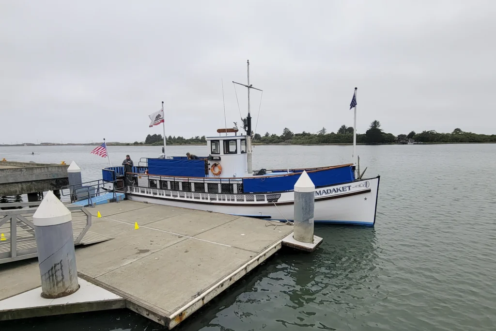
The historic ferry Madaket tied up at the C Street dock in Old Town Eureka, California
The M.V. Madaket is a 1910 passenger ferry that runs narrated cruises on Humboldt Bay from the foot of C Read more
Tall coast redwoods rising above sword ferns in the Tall Trees Grove, Redwood National Park, California
The Tall Trees Grove Trail is a 4.5-mile (7.2 km) round trip hike to an alluvial flat along Redwood Creek Read more
Old-growth coast redwoods along the Lady Bird Johnson Grove Trail, Redwood National Park, California
The Lady Bird Johnson Grove Trail is a 1.5-mile (2.4 km) loop through old-growth coast redwood in Redwood National Park, Read more
Lassen Peak seen through lodgepole pines in Lassen Volcanic National Park, California
Lassen Volcanic National Park covers about 106,000 acres (43,000 ha) in Northern California, roughly 50 miles (80 km) east of Read more
Arched lava tube passage inside Subway Cave, Lassen National Forest, California
Subway Cave is a 1,300-foot (400 m) lava tube in Lassen National Forest near Old Station, California, that you can Read more
Steaming fumaroles and turquoise hot pools in the Bumpass Hell basin, Lassen Volcanic National Park, California
The Bumpass Hell Trail is a 3-mile (4.8 km) round trip hike to the largest hydrothermal area in Lassen Volcanic Read more
Fern-covered walls of Fern Canyon rising above Home Creek in Prairie Creek Redwoods State Park, California
Fern Canyon trail is a 1-mile (1.6 km) lollipop loop through a narrow, fern-walled gorge in Prairie Creek Redwoods State Read more
Cinder Cone volcano rising above the cinder plain in Lassen Volcanic National Park, California
The Cinder Cone Trail is a 4-mile (6.4 km) round trip hike to the summit of a 700-foot (213 m) Read more
Gravel bar and clear water on the South Fork of the Eel River in Humboldt Redwoods State Park
The Avenue of the Giants is a 31-mile portion of historic Highway 101 (now Route 254), which runs along the Read more
Panoramic view of Red Valley beneath a clear blue sky with patches of snow and a winding dirt trail.
Rainbow Mountain (Vinicunca) is a stunning geological wonder in the Peruvian Andes that has become famous as a popular Instagram Read more
Panoramic view from the base of Humantay Lake
The Humantay Lake hike in Peru is a stunning four mile (6.4 km) round trip hike featuring a vibrant turquoise Read more
Ancient Machu Picchu stone terraces descend a hillside with green mountains and wisps of clouds in the background.
The Inca Trail hike is the most popular way to get to Machu Picchu in Peru. The Inca Trail hike Read more
Homosassa River near Homosassa Springs Wildlife State Park
We had a great visit to Homosassa Springs Wildlife State Park. It's one part park and two parts zoo, but Read more
error: Content is protected !!