
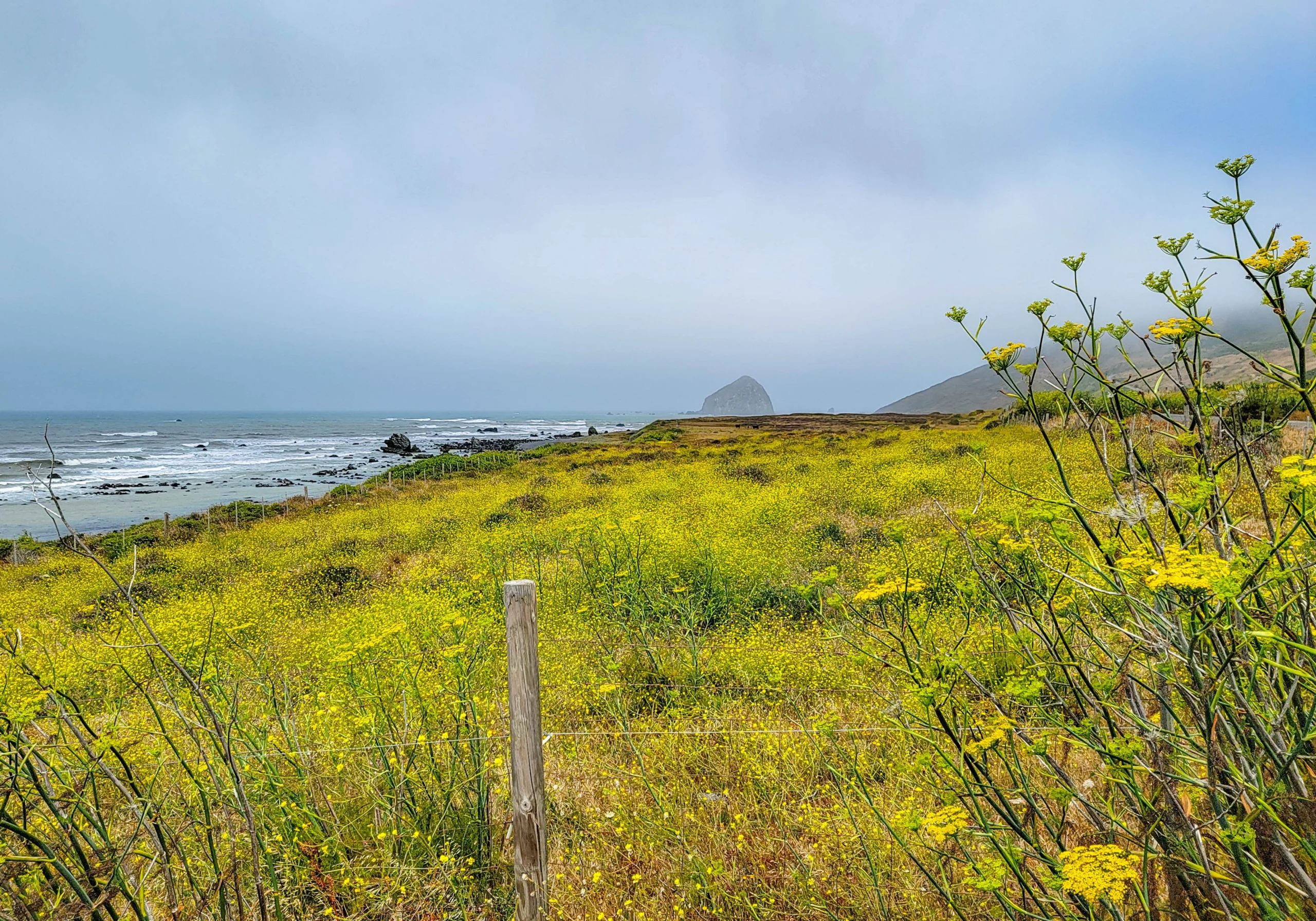

The Lost Coast Scenic Drive runs from the Victorian town of Ferndale south along Mattole Road — locally known as the Wildcat — to the ocean at Cape Mendocino, then inland through Honeydew and the Mattole River valley to Humboldt Redwoods State Park. Allow about four hours round trip from Ferndale, returning north on Highway 101.
This is the closest you can get to the Lost Coast without a backpack. The Lost Coast is California’s only coastal wilderness — the terrain here is so steep that highway engineers gave up and pushed State Route 1 inland, which is precisely how the coast got “lost.” The King Range National Conservation Area covers 68,000 acres along 35 miles of it, and King Peak rises to 4,088 feet (1,246 m) barely three miles from the surf.
Two things worth knowing before you commit. First, the road only actually touches the ocean for about six miles near Cape Mendocino — the rest is forest, grassland, and river valley. Second, there are effectively no services for the entire route.
We drove it south from Ferndale in July and came out at Humboldt Redwoods in the early afternoon, which set up something better than we’d planned. More on that at the end.
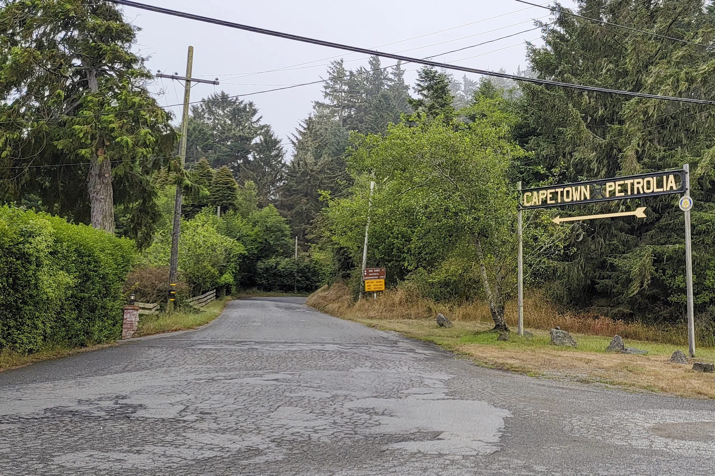
The Capetown and Petrolia junction sign on Mattole Road, with a King Range National Conservation Area sign warning that motor homes and trailers are not advised
Drive Facts
- Route: Ferndale → Capetown → Cape Mendocino → Petrolia → Honeydew → Humboldt Redwoods State Park
- Road: Mattole Road, known locally as “the Wildcat”
- Time: About 4 hours round trip from Ferndale, returning via Highway 101
- One-way driving time: Budget 2.5 to 3 hours with stops
- Surface: Paved, but narrow, winding, and bumpy in places
- Vehicles: Motor homes and trailers are not advised. This is posted at the junction and it is not a suggestion.
- Services: None to speak of. Fill up in Ferndale.
- Cell service: Assume none
- Fee: None. King Range is BLM land, free to enter.
The Route, in Order
Ferndale to Capetown
Leave Ferndale heading south on Mattole Road. The first stretch climbs into what the county tourism board calls high alpine forest — moss-heavy Douglas fir and spruce, frequently fogged in even when the valley behind you is clear.
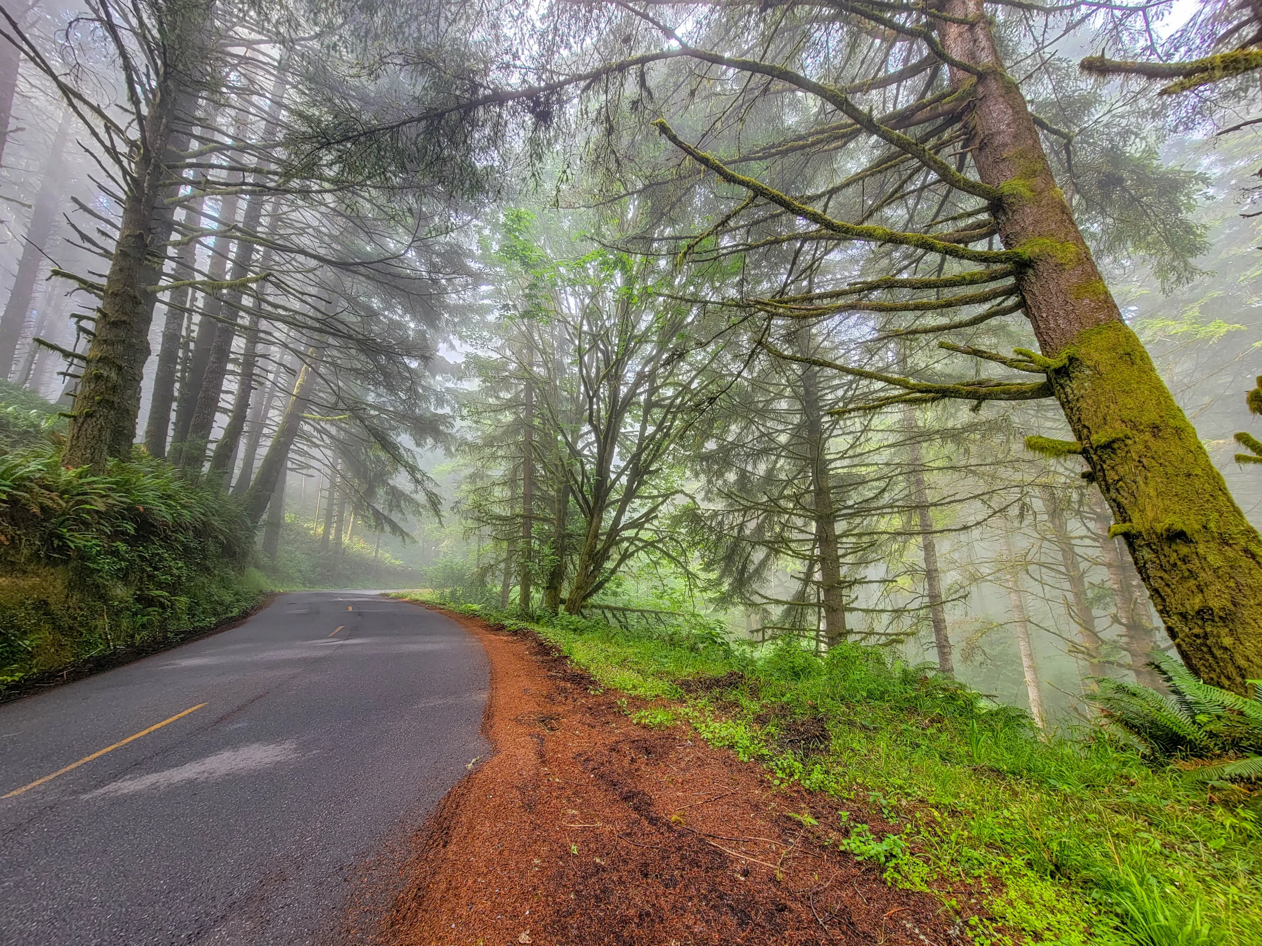
Fog in the forest along Mattole Road on the Lost Coast Scenic Drive
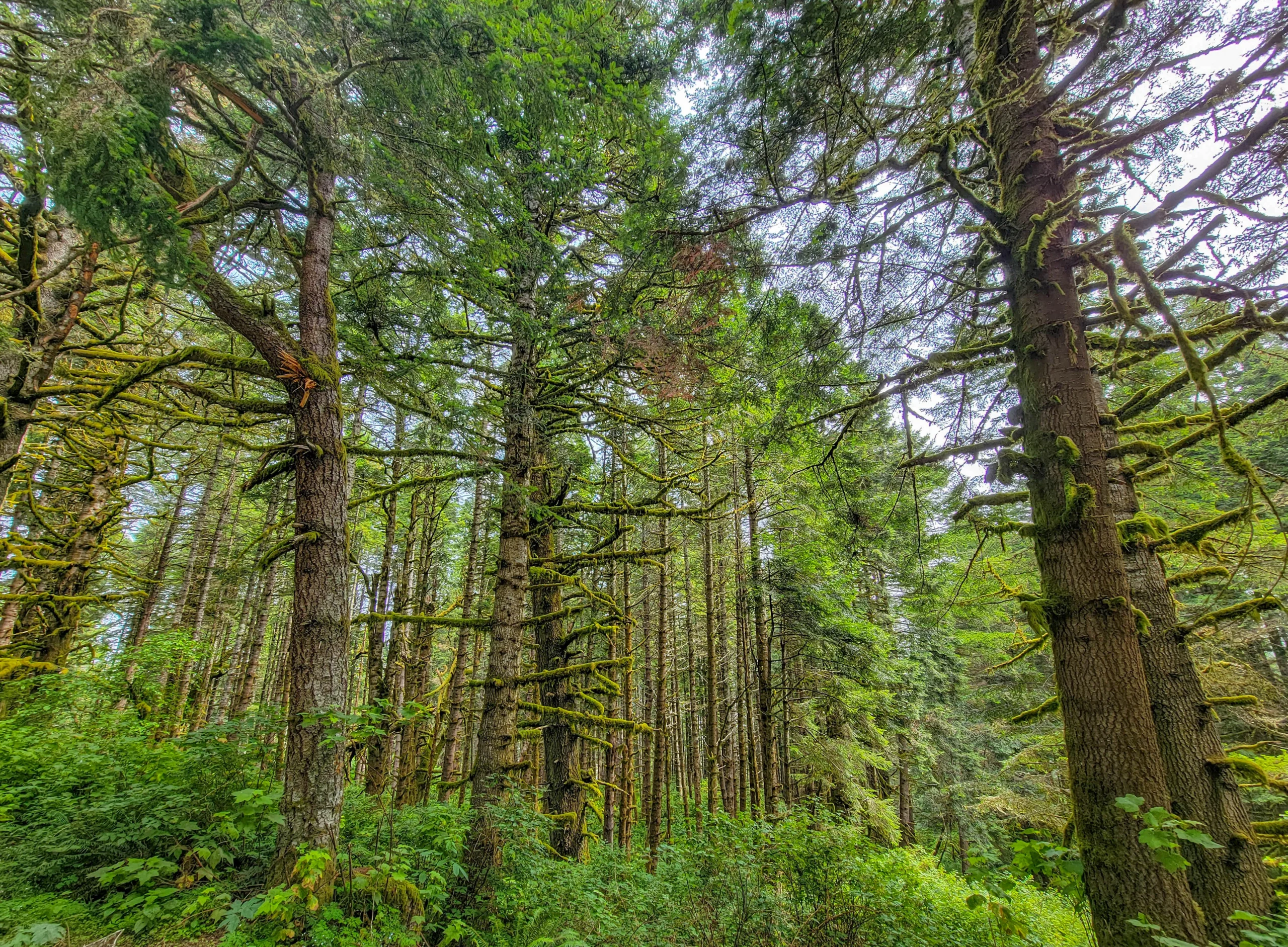
Moss-covered spruce forest along the Lost Coast Scenic Drive
The forest opens periodically onto working ranch land — grazed hillsides, old barns, and long views that arrive with no warning and disappear just as fast.
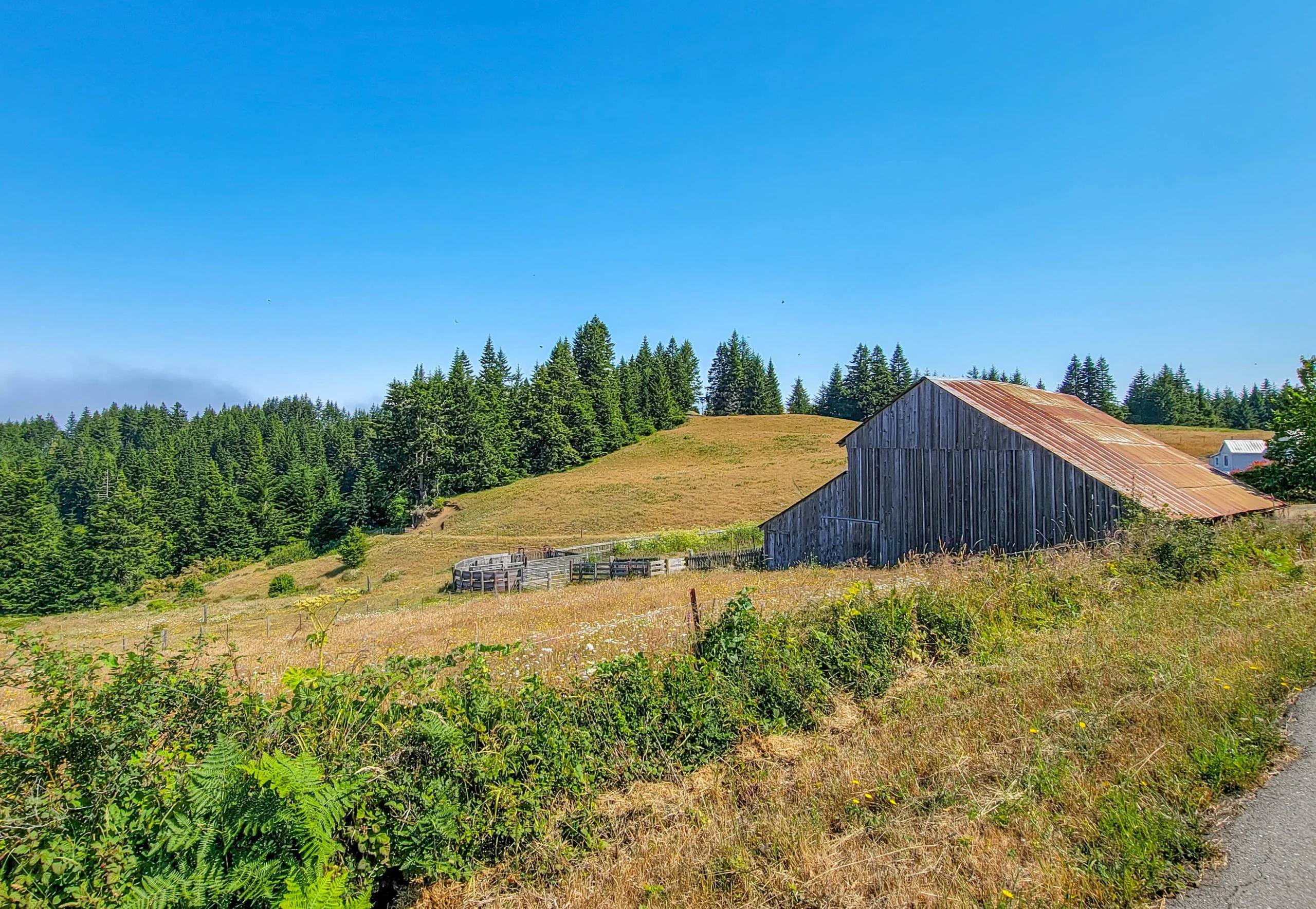
Weathered barn on a grassy hillside along Mattole Road
Capetown is a former stagecoach stop. Don’t expect a town.
The Drop to the Sea
From Capetown the road takes a genuinely steep drop toward the water, and the first ocean view arrives from high on the hillside with the coast laid out below.
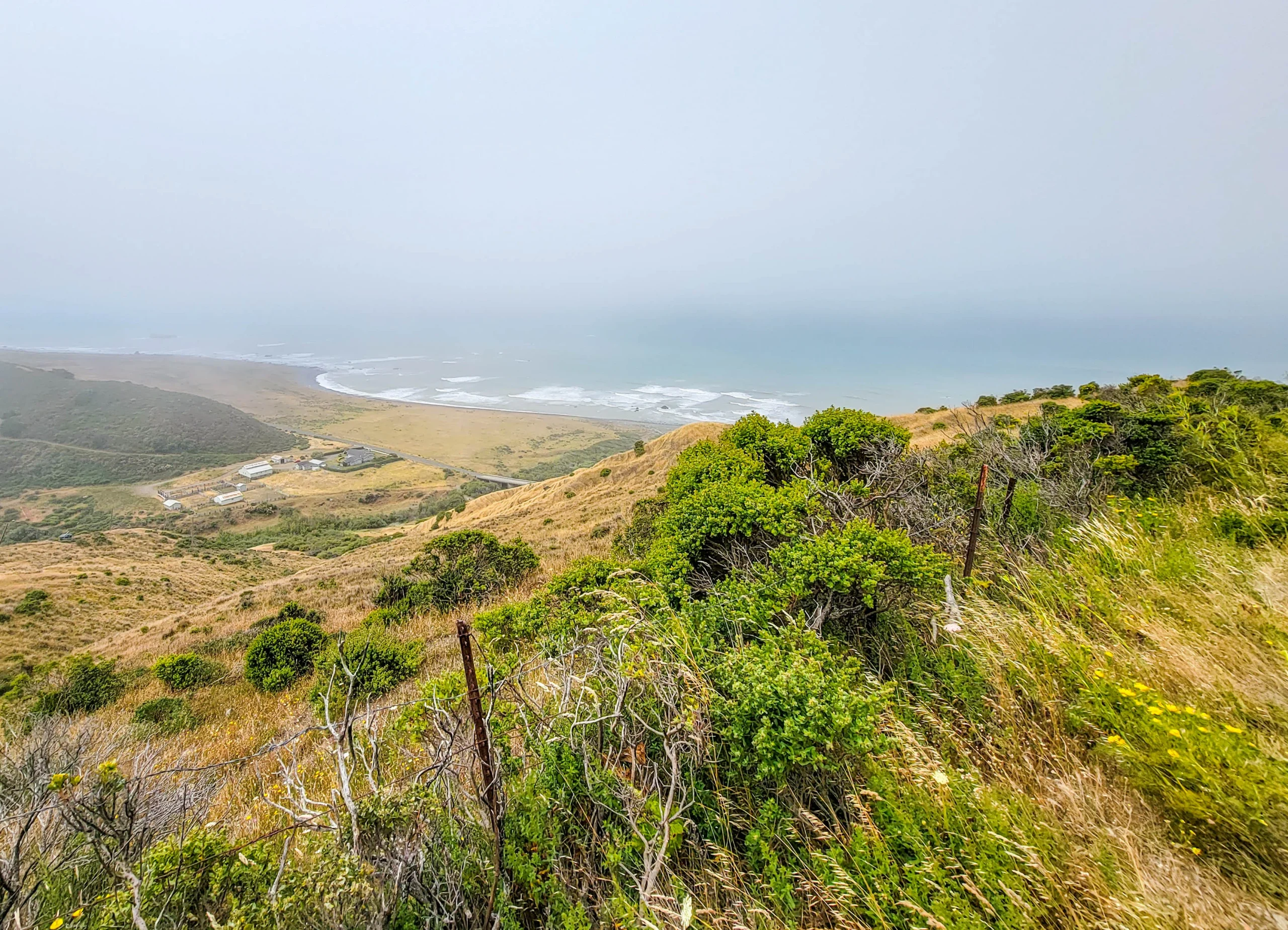
Looking down from Mattole Road toward the Lost Coast shoreline
This is the moment the drive earns its reputation. You’ve been in forest and pasture for the better part of an hour, and then the whole Pacific opens up several hundred feet below you.
Six Miles Along the Ocean
The road reaches the water at Cape Mendocino and runs the shoreline for about six miles. This is the only stretch where a public road comes anywhere near the Lost Coast, and it’s short — our own photo timestamps cover it in a little over twenty minutes of driving and stopping.
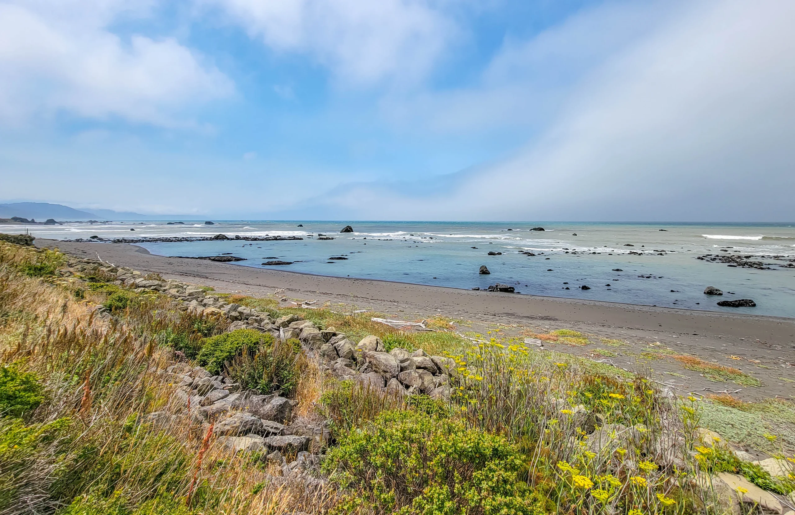
Rocky shoreline along the Lost Coast in Humboldt County, California
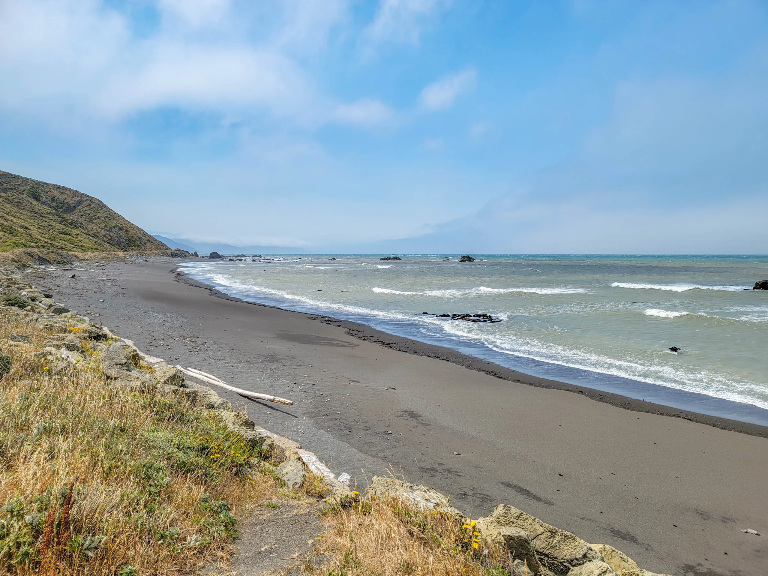
Grey sand beach and headlands along the Lost Coast
The beaches here are dark gray sand and cobble, backed by grassy bluffs and scattered with driftwood. Offshore rocks break the surf the whole way along.
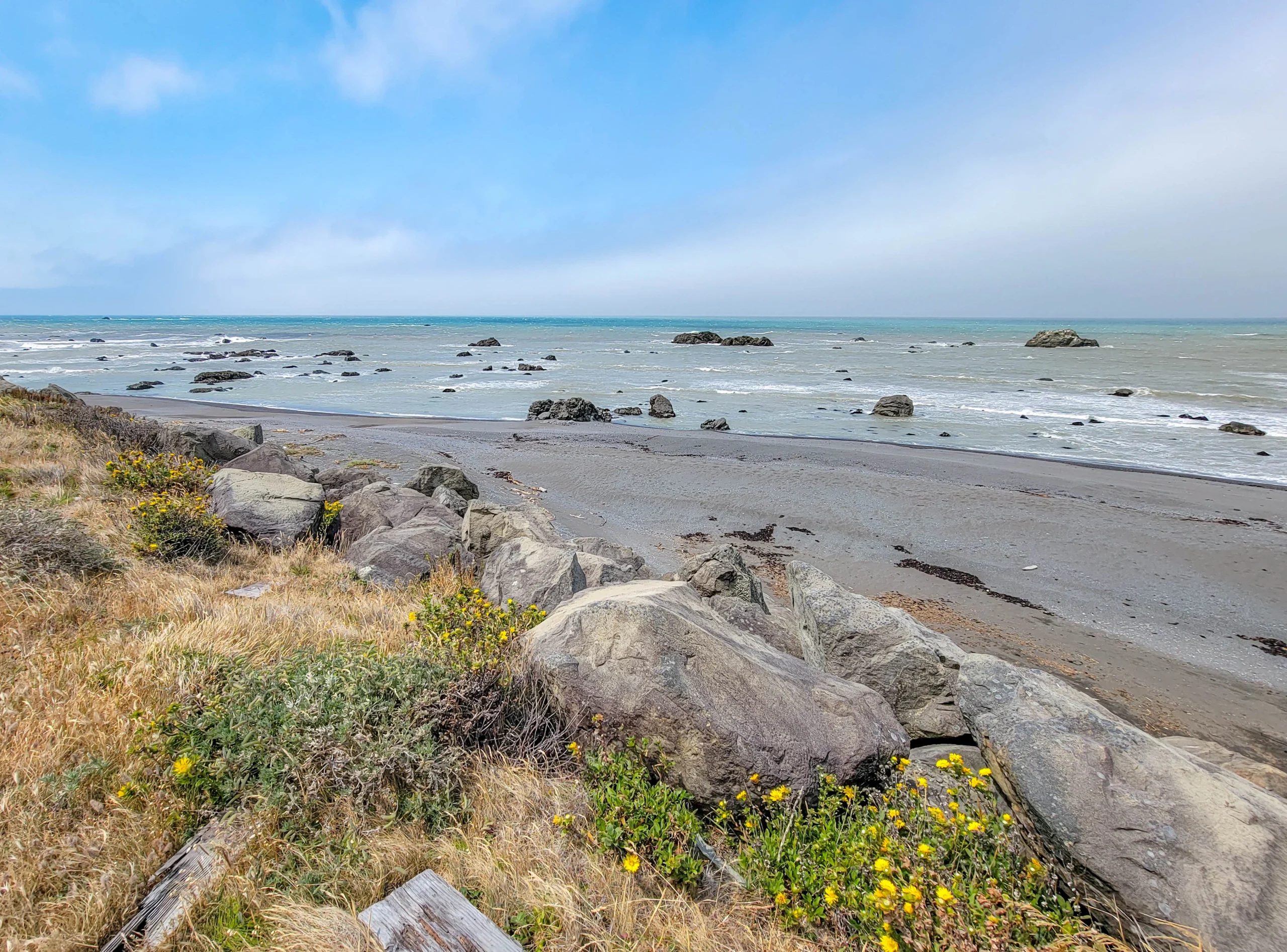
Boulders and wildflowers above the shore on the Lost Coast
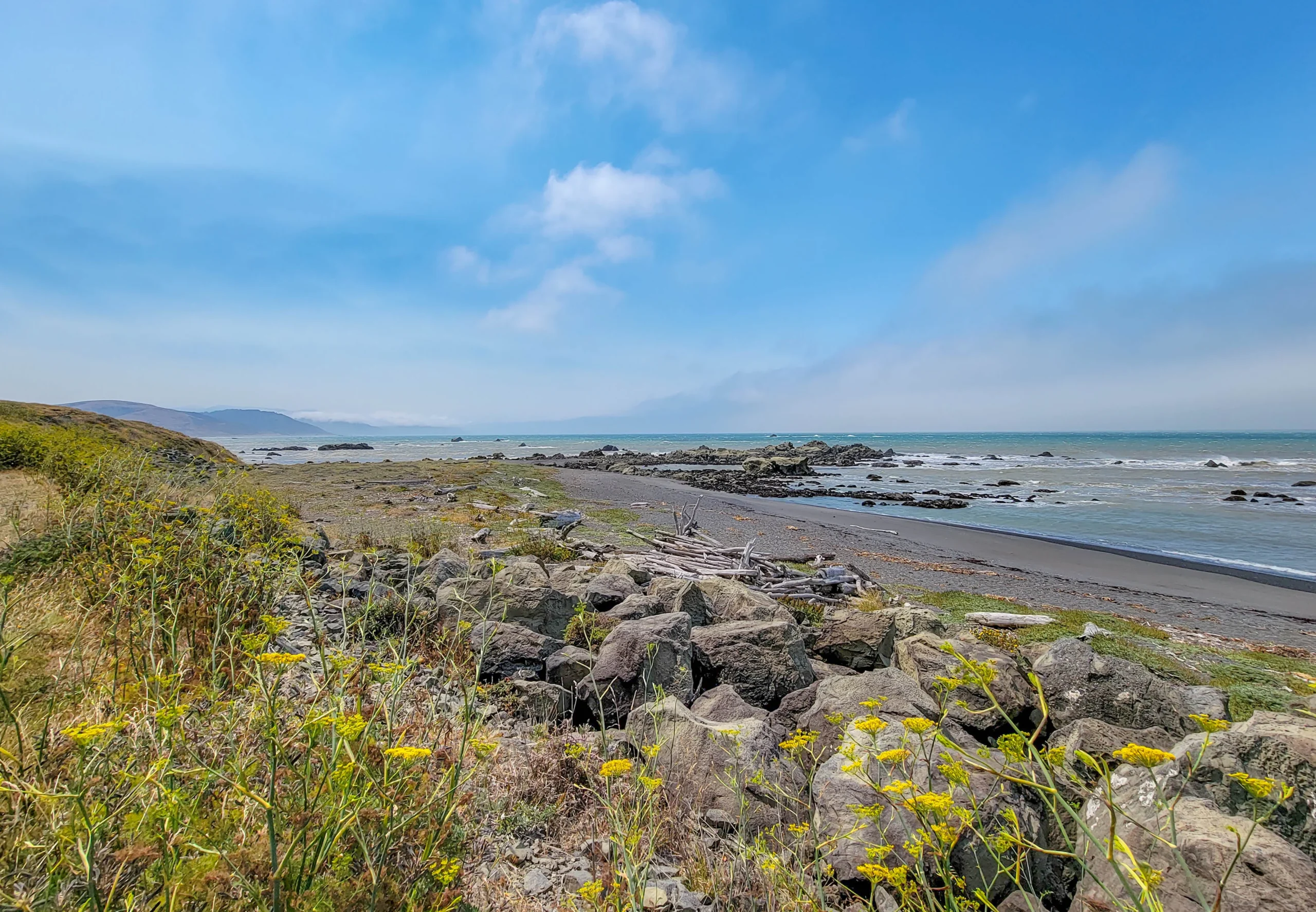
Driftwood on a Lost Coast beach near the Mattole River
Stop and get out. It’s tempting to keep driving because the pullouts are informal, but this is the part of the route you came for and it’s over quickly.
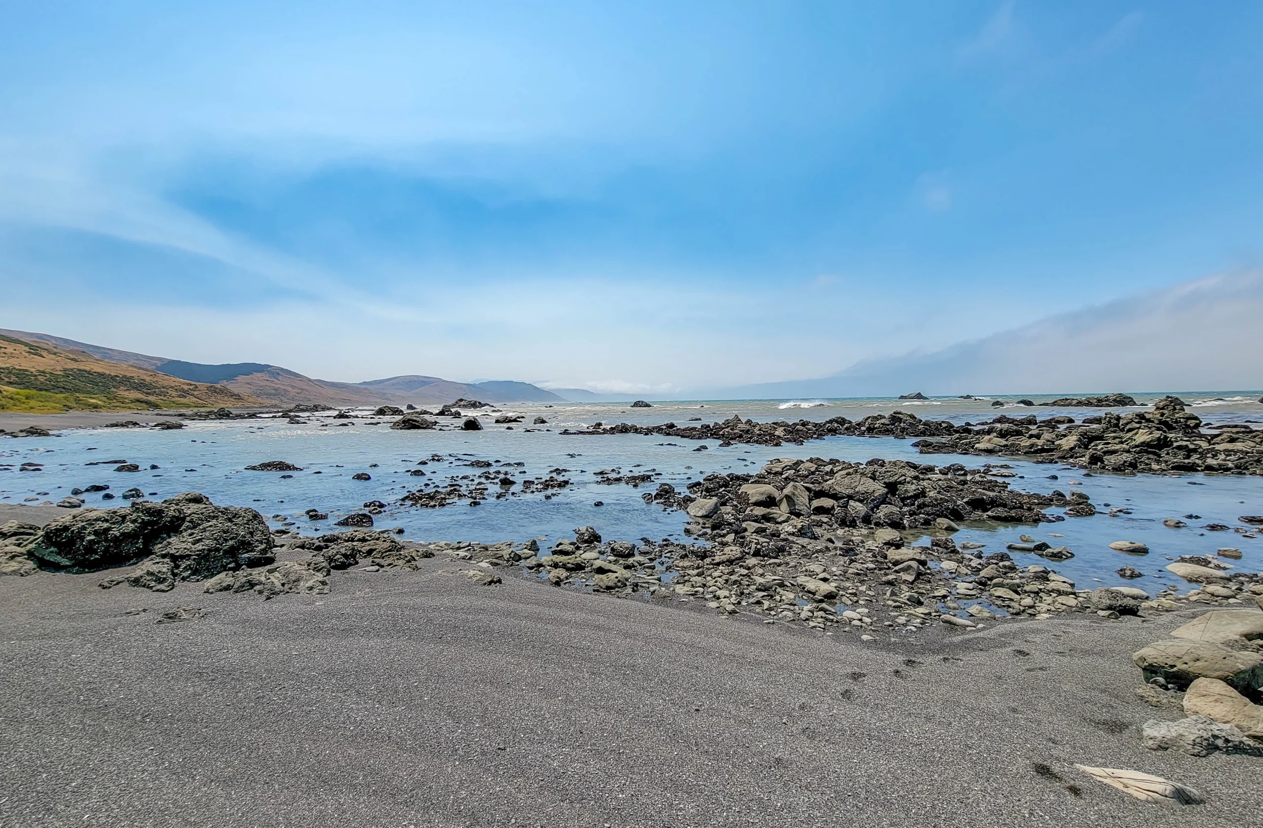
Tidepools exposed at low tide on the Lost Coast
At low tide the rock shelves open up into tidepools. Check a tide chart before you go if that’s of interest — there’s no signage telling you when conditions are good.
A note on the ground you’re standing on. This is one of the most seismically active places in the United States. Three tectonic plates — the Gorda, Pacific, and North American — meet just offshore at the Mendocino Triple Junction, where subduction to the north runs into the transform faulting of the San Andreas system to the south.
The consequences are visible. The 1992 Cape Mendocino earthquake lifted this coastline outright, leaving a band of former seafloor stranded above the tide line. The same forces that keep pushing the King Range up out of the ocean are why nobody could build a highway along it.
Petrolia and the Mattole Valley
The road turns inland along the Mattole River toward Petrolia. The name is not decorative.
California’s first drilled oil wells were here. The Union Mattole Oil Company completed them in 1865 on the north fork of the Mattole River, about three miles east of the present town, and made the state’s first commercial oil shipment to a San Francisco refinery that June. The site is California Historical Landmark No. 543, with a marker dedicated in 1955. The town took its name from the wells.
It’s a strange thing to come across out here — an oil boomtown origin story in a valley that now has no gas station.
Optional side trip: instead of continuing east at Petrolia, turn southwest on Lighthouse Road for 5 miles, park, and hike another 3.5 miles to the Punta Gorda Lighthouse. Budget a couple of extra hours, and bring water and food — there’s nothing out there.
Honeydew to the Redwoods
From Honeydew the route climbs out of the Mattole valley through grassland and forested ridges.
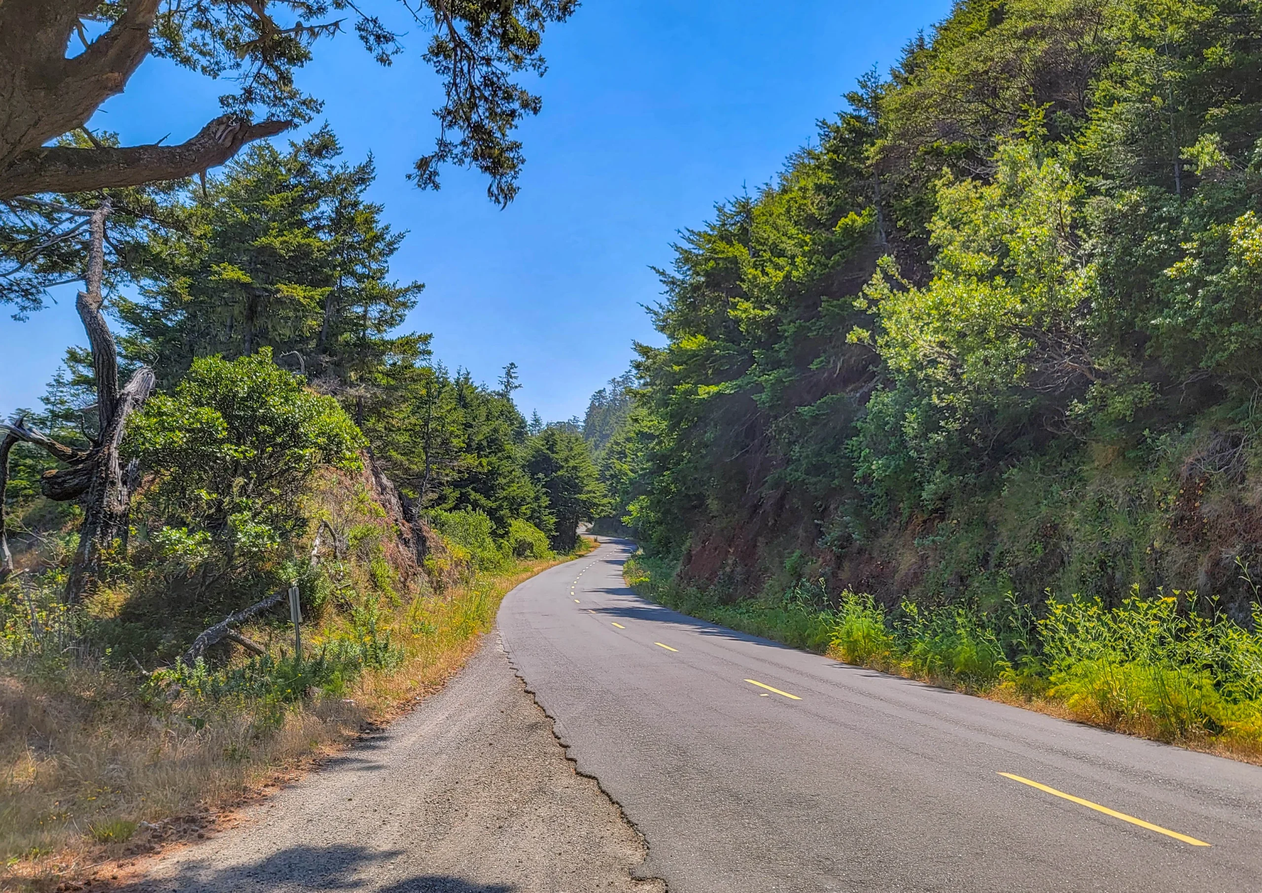
Mattole Road curving through forest in southern Humboldt County
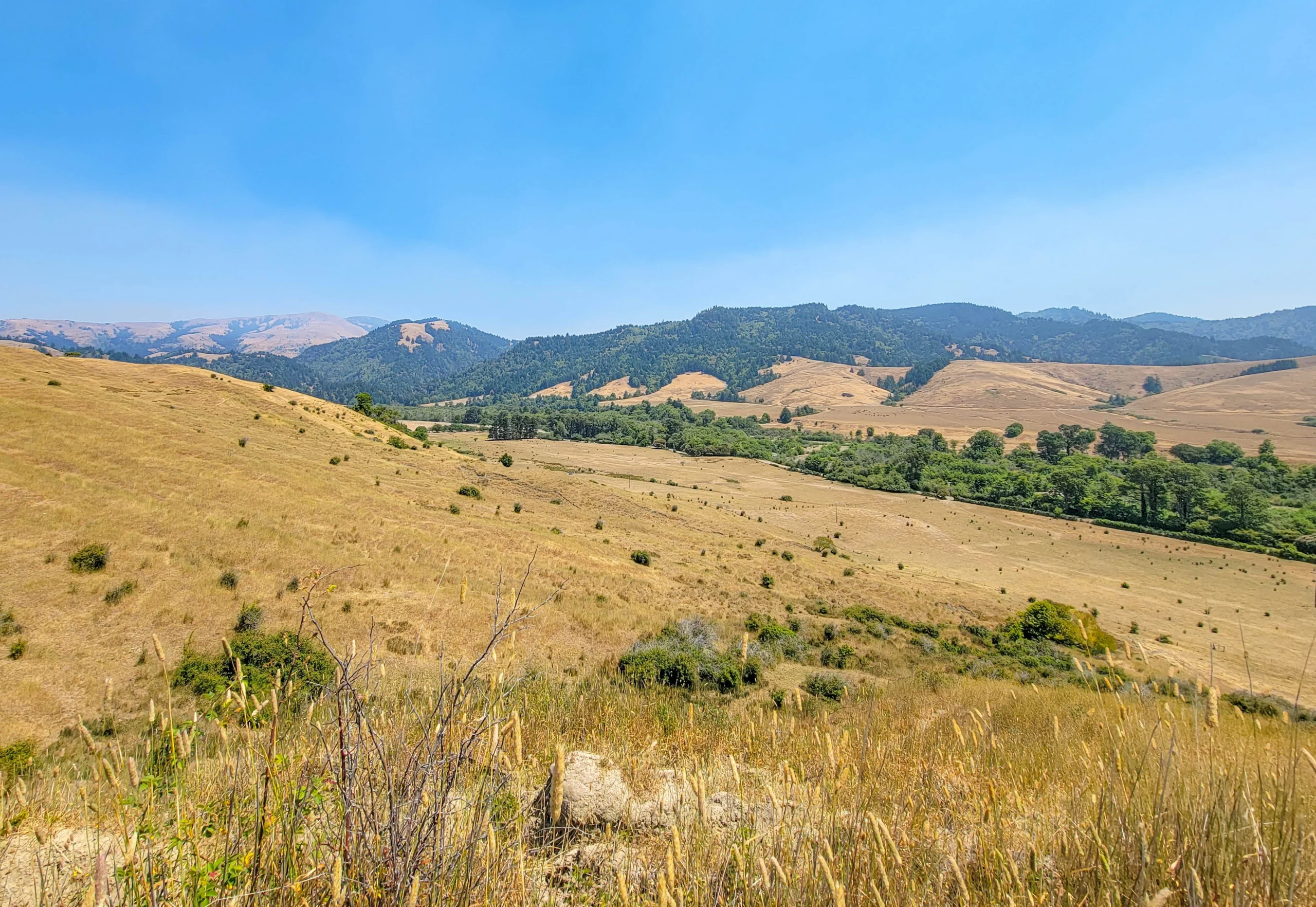
Golden summer grass and hills in the Mattole River valley
The summer contrast here is striking — dry gold hillsides against dark conifer, with the coastal fog usually left behind at the ridge.
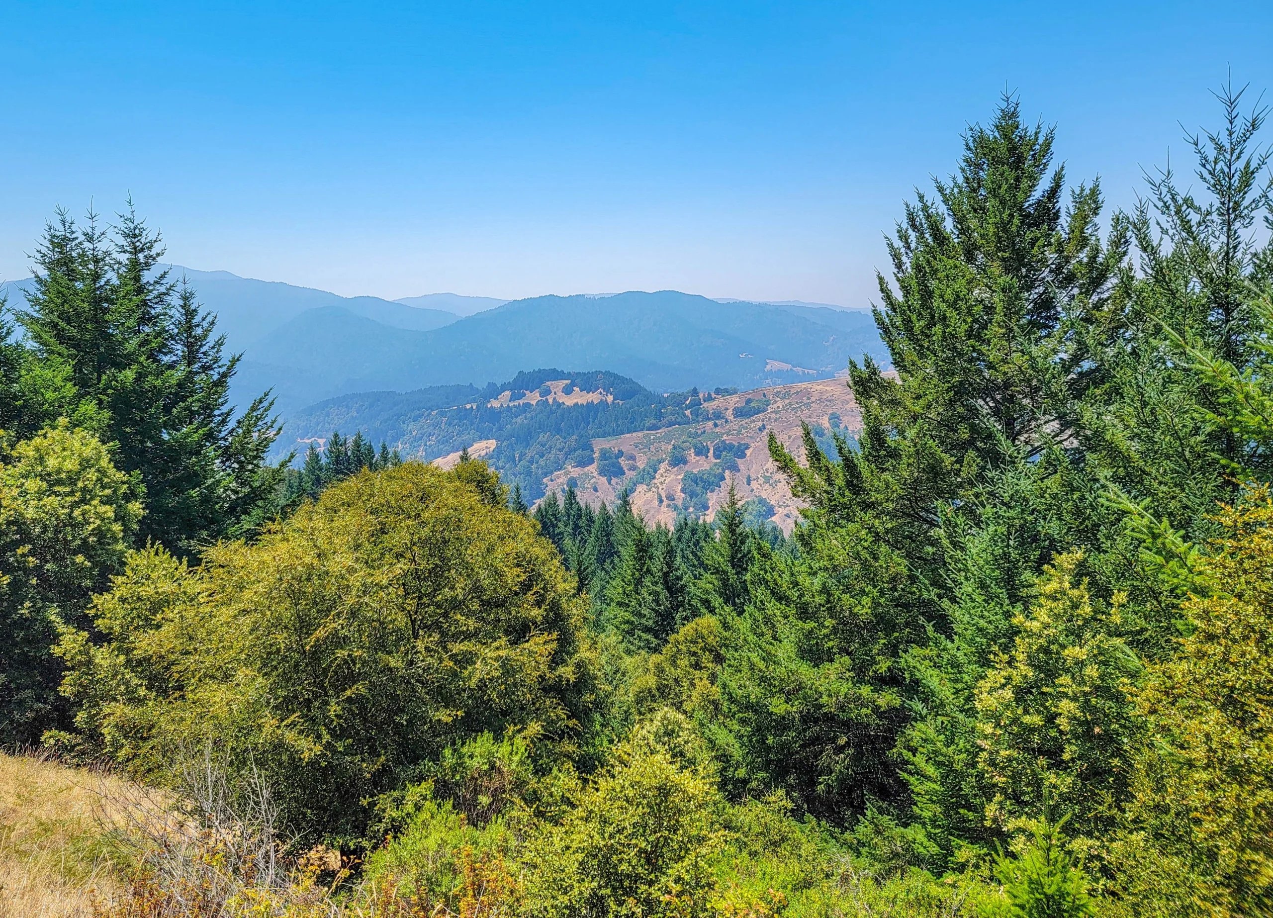
Forested ridges of the King Range fading into summer haze
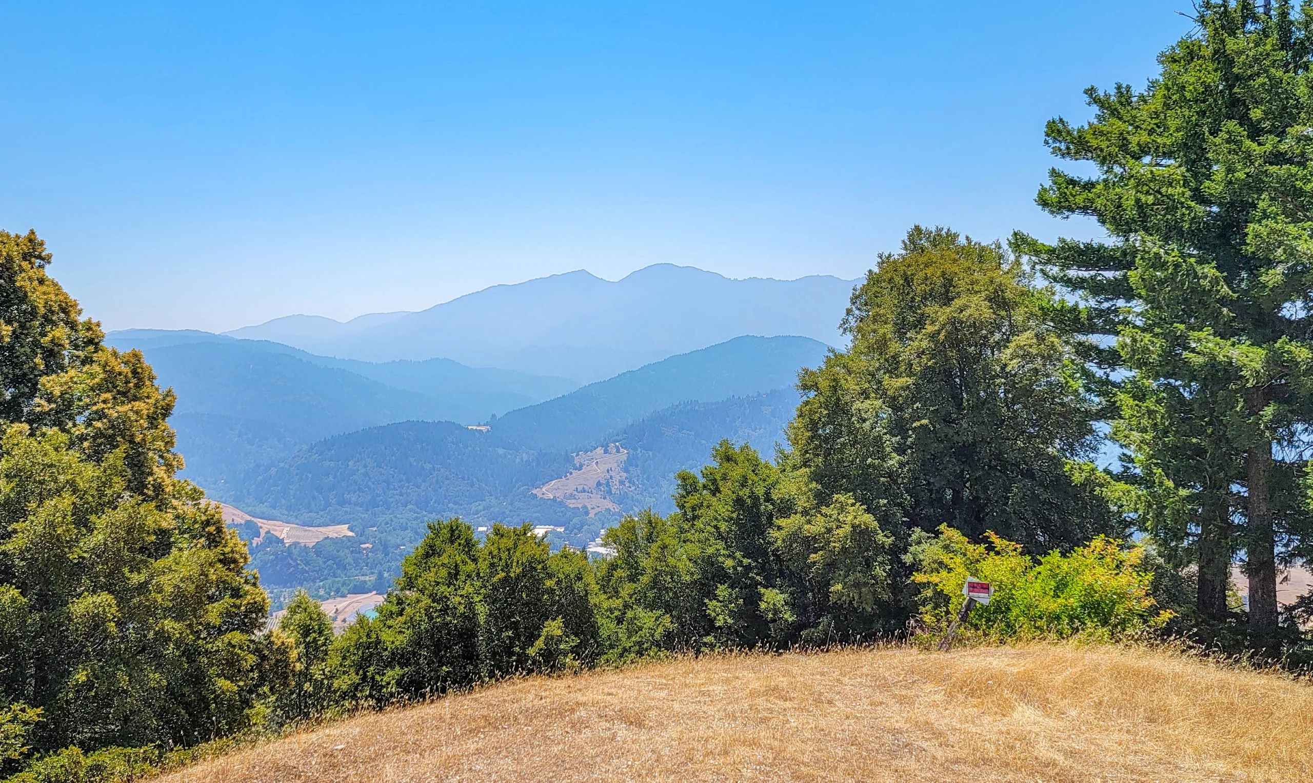
Blue ridges of southern Humboldt County
Then the road drops into Humboldt Redwoods State Park and the trees change completely.
Pair It With the Avenue of the Giants
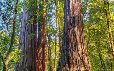
This is the thing I’d most want someone to know about this drive. Mattole Road doesn’t end at a highway junction in the middle of nowhere — it delivers you directly into Humboldt Redwoods State Park, where you can pick up the Avenue of the Giants and keep going.
We came off the Lost Coast at about one in the afternoon and were driving the Avenue half an hour later. A wild, empty coastline in the morning and old-growth redwood in the afternoon is one of the better single days available in Northern California, and it costs no extra driving because the two routes connect end to end.
Photography Notes
- Fog is the normal morning condition on the Ferndale half and it suits the forest sections. It usually burns off as you turn inland.
- The coastal stretch is short — plan to shoot it rather than assuming you’ll get another chance further along. You won’t.
- Shoot the descent from above. The high shot looking down at the coast is the frame that conveys what makes this place different.
- Include the road. Empty pavement curving through forest or grassland tells the story better than a landscape without it.
- Wildflowers peak in early summer — wild fennel, lupine, and yellow mustard along the bluffs.
- Late-summer haze flattens the inland ridge views. Morning is clearer.
Know Before You Go
- Fill your tank in Ferndale. There is no fuel on this route.
- Leave the trailer. Motor homes and trailers are not advised and the posted warning is well founded — the road is narrow with blind curves and steep grades.
- Allow far more time than the mileage suggests. Average speeds are low.
- Winter is a different proposition. Heavy rain brings downed trees and landslides. Check conditions with the BLM King Range office at (707) 986-5400 before a wet-season attempt.
- This is ranch country. Expect cattle on the road and gates you don’t open.
- Ferndale is worth an hour on its own — an intact Victorian village and a good place to eat before you start.
- Don’t confuse this with the Lost Coast Trail. That’s a 24.6-mile backpacking route through the King Range wilderness requiring a permit and tide planning. This drive is a different thing entirely and needs neither.
Is It Worth It?
Yes, with expectations set correctly.
If you’re picturing a coastal highway with the ocean beside you for hours, this isn’t that. It’s about six miles of shoreline inside a three-hour drive, and the rest is forest, ranch land, and river valley — pleasant, remote, and slow. The road is rough enough that you’ll be watching it rather than the view for much of the way.
But those six miles are genuinely wild in a way that no other drivable stretch of the California coast is, the country you cross to get there is beautiful, and the route ends by handing you off to the Avenue of the Giants. Taken as a full day rather than a scenic detour, it’s excellent.
For more information on the California Redwoods National and State parks visit our California Redwoods Guide here.
For current road and trail conditions, contact the BLM King Range National Conservation Area at (707) 986-5400.
0 Comments