

The Trail of the Coeur d’Alenes was named one of the 25 top trails in the nation in 2010 by the Rails to Trails Conservancy. The 73-mile paved trail spans the Idaho panhandle between Mullan and Plummer. The trail follows the Silver Valley, along the Coeur d’Alene River past scenic Lake Coeur d’Alene and through rolling farmlands to Plummer. Coeur d’Alene is named for a local Native American tribe that traded in the area. In French “Coeur” means heart and “Alene” means awl, a sharp pointed tool used to pierce leather. In other words, they were known as sharp traders with hearts like the point of an awl.
The scenery is amazing throughout the trail, but especially on the Western half which curves along Lake Coeur d’Alene and through thick, green forests.

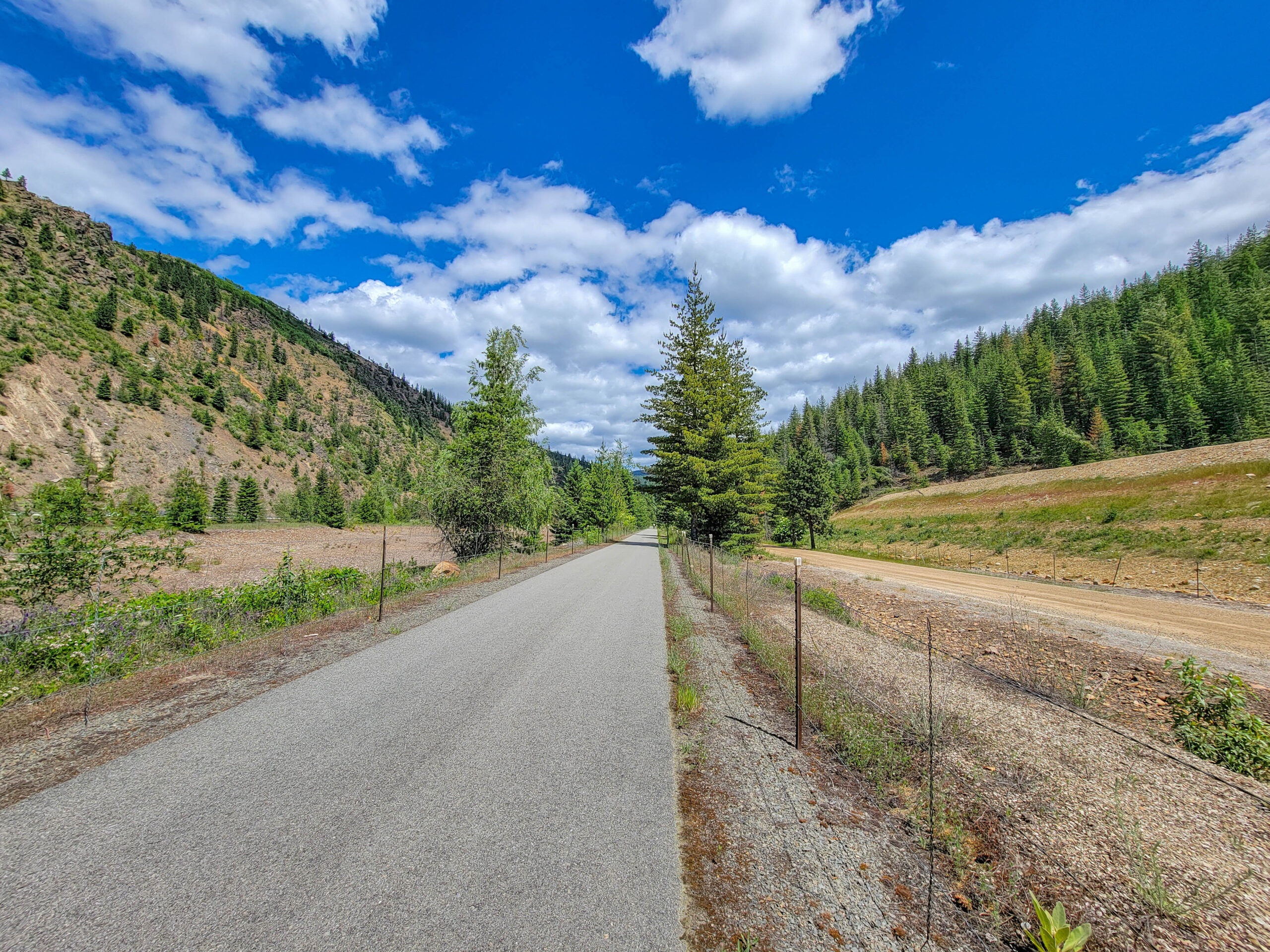
Portion of Trail of the Coeur d’Alenes
The Eastern portion of the trail is also pretty because it follows the river, but is more open and exposed as it passes through a series of small towns and rural farming areas.
Section of Eastern Trail of the Coeur d’Alenes
Towards the middle of the trail the scenery gradually transitions from rolling plains to wooded mountains. There are a few short climbs, but there is more of a general grade that doesn’t exceed 2-3% since this is a rails to trails ride. The scenery along the trail in this section is amazing, as the views are largely unobstructed by trees.
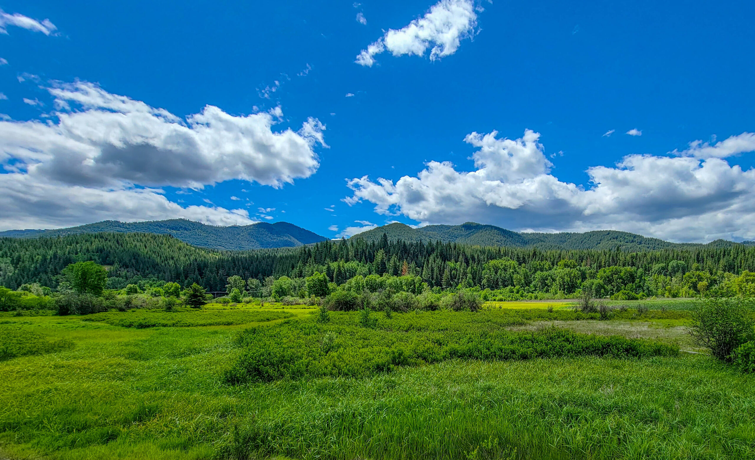
Scenery on Trail of the Coeur d’Alenes
There are numerous bridges crossing over the river, and ample opportunities to climb down the bank and explore the river up close. We saw several fly fishermen enjoying the fishing along the river.
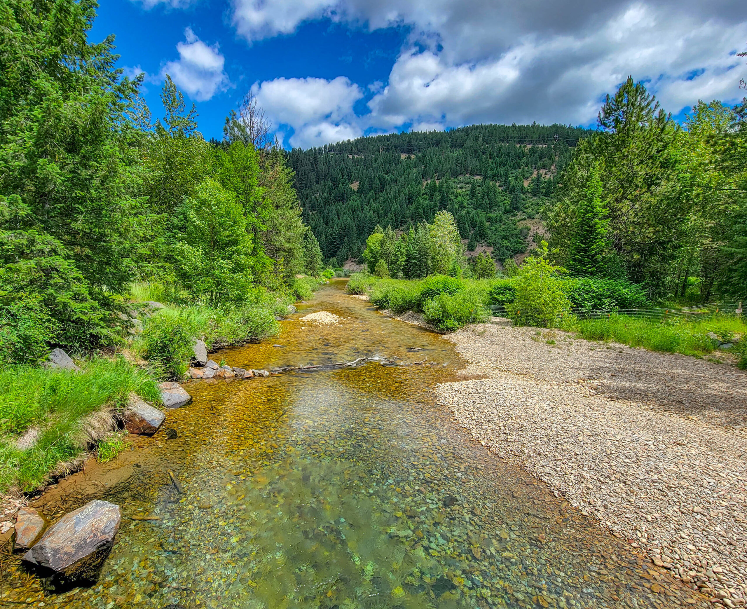
Portion of the Coeur d’Alene River
There are great maps of the trail and a list of the numerous trail heads on the Idaho Parks and Recreation website at Trail of the Coeur d’ Alenes Maps


0 Comments