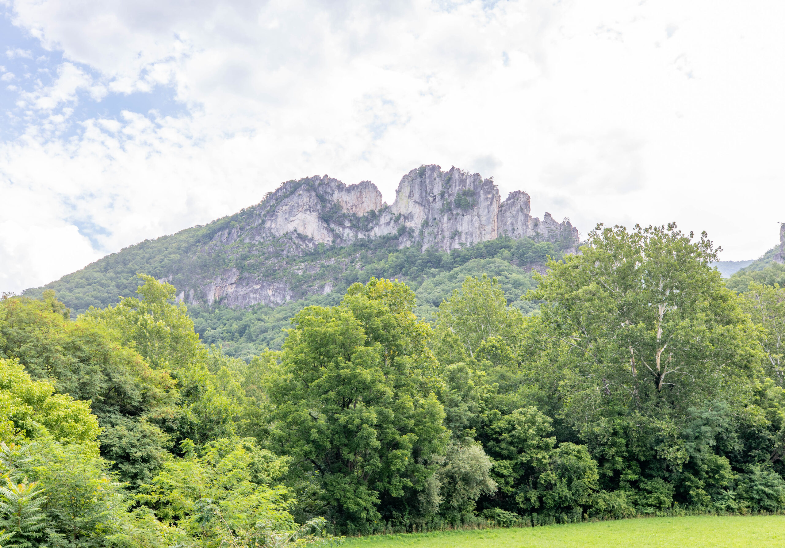
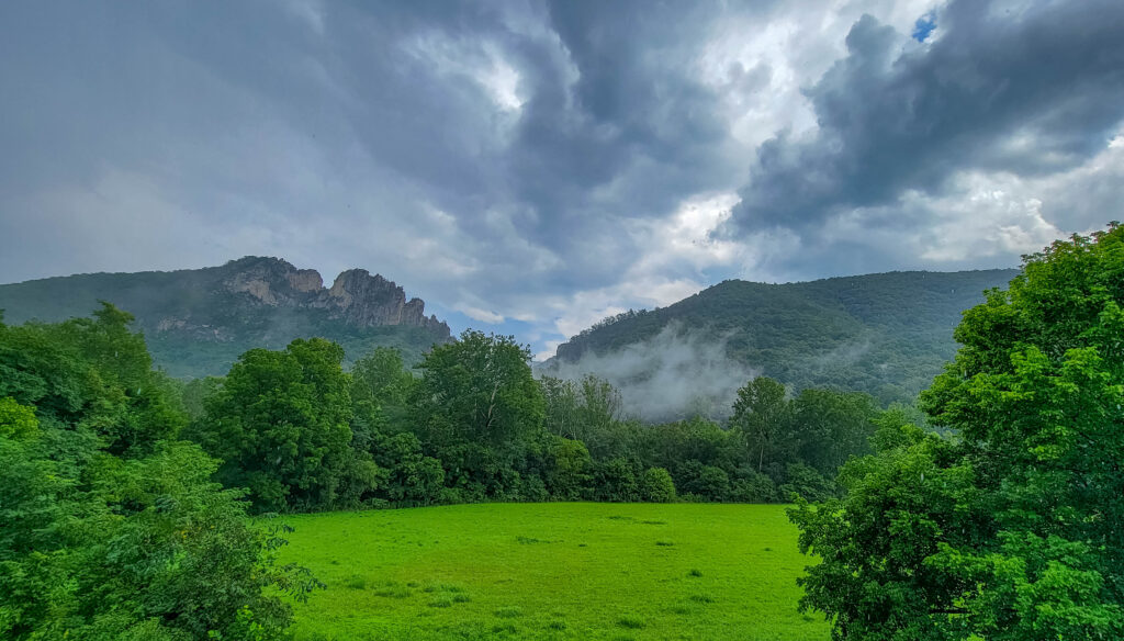
Seneca Rocks are a very recognizable formation that juts more than 900 feet above the North Fork River in the Monongahela National Forest. There is a very nice visitor center at the base of the rocks that features a gift shop, rest rooms, and viewing deck.
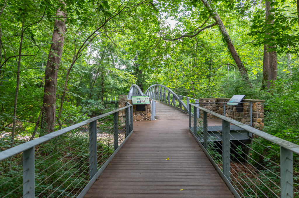
The hike to the top of Seneca Rocks starts behind the Discovery Center, and sets off down hill toward the lower parking lot. Shortly after the trail starts you cross a very nice bridge over Seneca Creek.
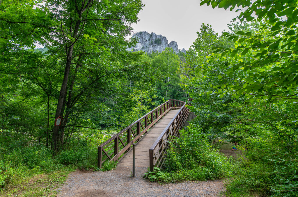
You reach the lower parking lot, a little over a quarter of a mile from the Visitor Center. Shortly after the parking lot, you’ll cross a second bridge. This bridge is over a fork of the Potomac River and offers a great peak of the rocks as you approach.
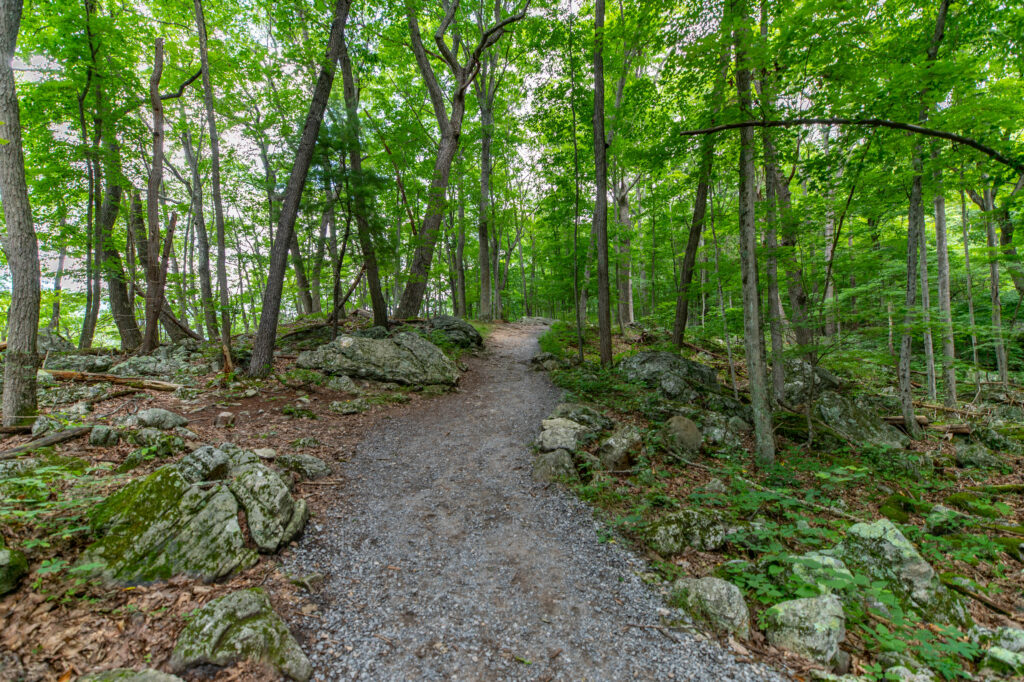
After the second bridge the trail starts uphill in earnest. It’s approximately 1.5 miles one way to the viewing platform near the top of the rocks. You’ll see a turnoff along the way that leads to the rock face which is popular with climbers. Another hiker told me that you could follow that trail along the face and also get to the top, but we didn’t take that option. The main trail winds upwards through the forest using a series of long switchbacks, and is fairly steep but well maintained. There are several sets of timber stairs with railings in the steeper sections of trail for those that need some assistance. The forest is fairly dense, as it tends to be in this area. But expect some beautiful scenery on the way up the trail.
At the top of the trail you have two choices. On the right the trail ends at a large wooden viewing platform with an impressive view of the nearby peaks and the valley below.
If you turn left at the top of the trail, you’ll see a large warning sign posted before a series of large rocks. You can scramble over this section of rocks to the actual top of the formation for 360 degree views of the area. Unfortunately it was pouring rain when we reached the top, so climbing up the exposed rocks didn’t seem too appealing. We can’t wait to visit again so we can finish the hike to the top!




0 Comments