
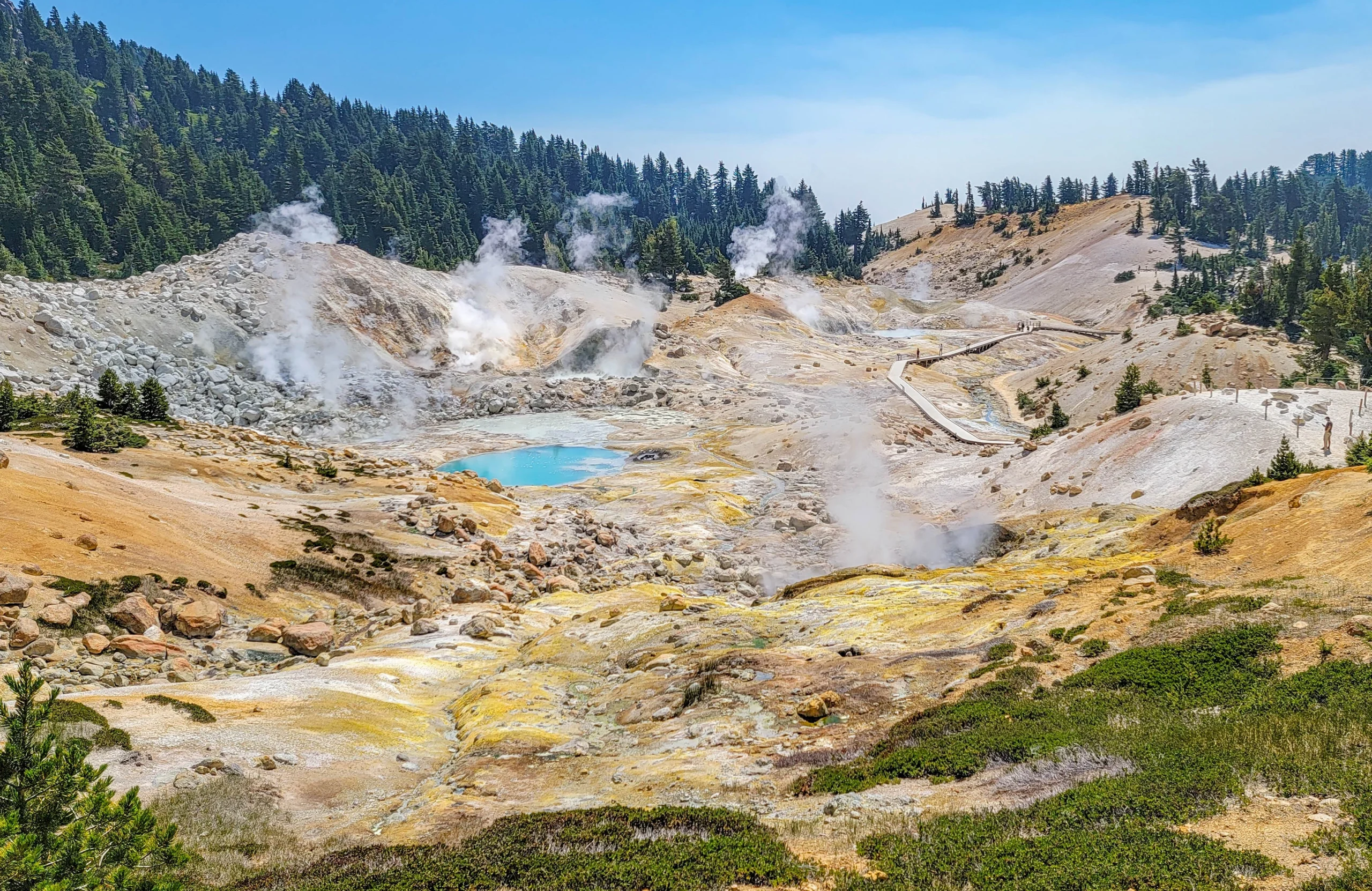

The Bumpass Hell Trail is a 3-mile (4.8 km) round trip hike to the largest hydrothermal area in Lassen Volcanic National Park, a 16-acre (6.5 ha) basin of boiling mudpots, fumaroles, and acid-blue hot pools. The trail runs between 8,200 and 8,400 feet (2,500 to 2,560 m) and takes about 90 minutes to two hours, depending on how long you stand at the boardwalk railing.
Bumpass Hell is the largest concentration of hydrothermal features anywhere west of Yellowstone. Big Boiler, the park’s largest fumarole, has been measured venting steam at up to 322°F (161°C), which makes it one of the hottest fumaroles in the world. The whole basin sits over the remnant magma system of the ancestral Brokeoff Volcano.
The name comes from Kendall Vanhook Bumpass, a cowboy and early settler who was showing the area to a Red Bluff newspaper editor in 1865 when he broke through the thin crust into a scalding mudpot. The leg was badly burned and was eventually amputated. That story is not a curiosity — it’s the entire reason for the boardwalk, and it’s worth remembering when you’re tempted to step off it.
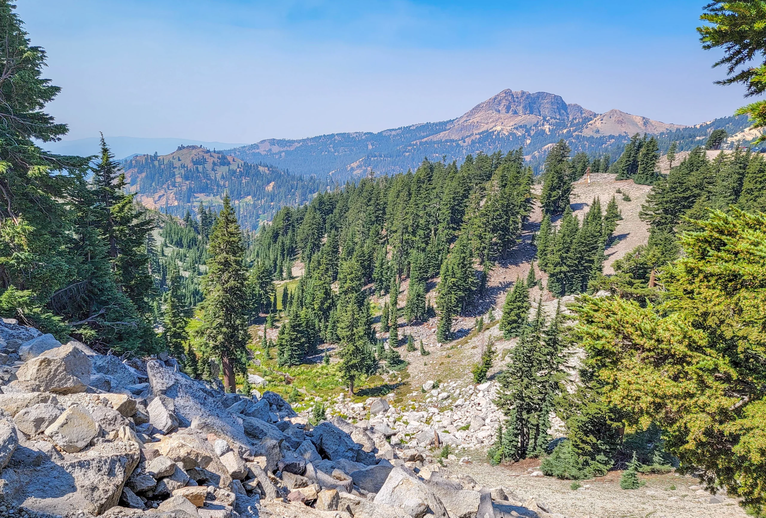
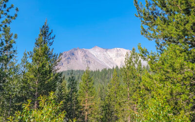
Volcanic peaks and rocky slopes seen from the first mile of the Bumpass Hell Trail
Trail Facts
- Distance: 3 miles (4.8 km) round trip
- Time: 90 minutes to 2 hours
- Elevation range: 8,200 to 8,400 feet (2,500 to 2,560 m)
- Terrain: Gradual climb for the first mile, then a descent into the basin
- Trail surface: Packed gravel, about 4 feet (1.2 m) wide to the overlook; narrower in the basin
- Difficulty: Easy to moderate
- Season: Approximately late July through October
- Trailhead: Bumpass Hell parking area, off the Lassen Volcanic National Park Highway
- Fees: No trail fee; park entrance fee or pass required
- Reservations: None required
- Dogs: Not permitted, including in a carrier. Service animals excepted.
Source note: the NPS page lists the descent into the basin as 200 feet in its quick-facts box and 300 feet in the trail description further down. I’ve used 300 feet, which matches their accessibility notes, but treat it as roughly a 200 to 300-foot (60 to 90 m) drop and climb back out.
Getting to the Trailhead
The Bumpass Hell parking area sits directly off the Lassen Volcanic National Park Highway, roughly 7 to 8 miles (11 to 13 km) north of the Southwest Entrance. No dirt road, no high-clearance vehicle, no complications — this is one of the easiest trailheads in the park to reach.
The parking lot is the actual constraint. It’s small relative to the trail’s popularity and it fills mid-morning to early afternoon, especially on weekends. Arrive before 9 a.m. or after 3 p.m. if you can. We started around 10:45 on a Friday in July and got a spot, but it was close.
Vault toilets are at the trailhead only. There are none on the trail or in the basin, and the round trip is two hours. Plan accordingly.
Check the Opening Date Before You Drive
This is the single most important piece of planning for this trail, and it’s the thing most guides gloss over.
Bumpass Hell sits high enough that it’s buried in snow for most of the year. The trail is closed through spring and often well into summer. It rarely opens before the Fourth of July and most commonly opens in mid-July — but the actual date swings wildly with snowpack.
Recent opening dates give you a sense of the spread:
| Year | Opened | April 1 snow depth at Lake Helen |
|---|---|---|
| 2021 | June 16 | 114.5″ (9.5 ft) |
| 2022 | July 1 | 96″ (8 ft) |
| 2023 | August 4 | 217″ (18.0 ft) |
| 2024 | July 21 | 193″ (16.1 ft) |
| 2025 | July 21 | 208″ (17.3 ft) |
| 2026 | June 26 | 90.5″ (7.5 ft) |
In 2017 it didn’t open until August 22. In 2019, after a heavy winter and a rehabilitation project, it didn’t open until September 13.
Check the park’s trail status page before committing to the drive. If it’s closed, the alternatives below are genuinely good rather than consolation prizes.
Hiking the Bumpass Hell Trail
The first mile traverses the northeast slope of Bumpass Mountain and is mostly flat, with a gradual climb. It’s open, exposed, and the views start immediately — Little Hot Springs Valley drops away below and volcanic peaks stack up in every direction.
At about half a mile, an overlook gives you a panorama of the five remnant peaks of the ancestral Brokeoff Volcano. That volcano was once considerably larger than anything standing here now; what you’re looking at are the leftovers.
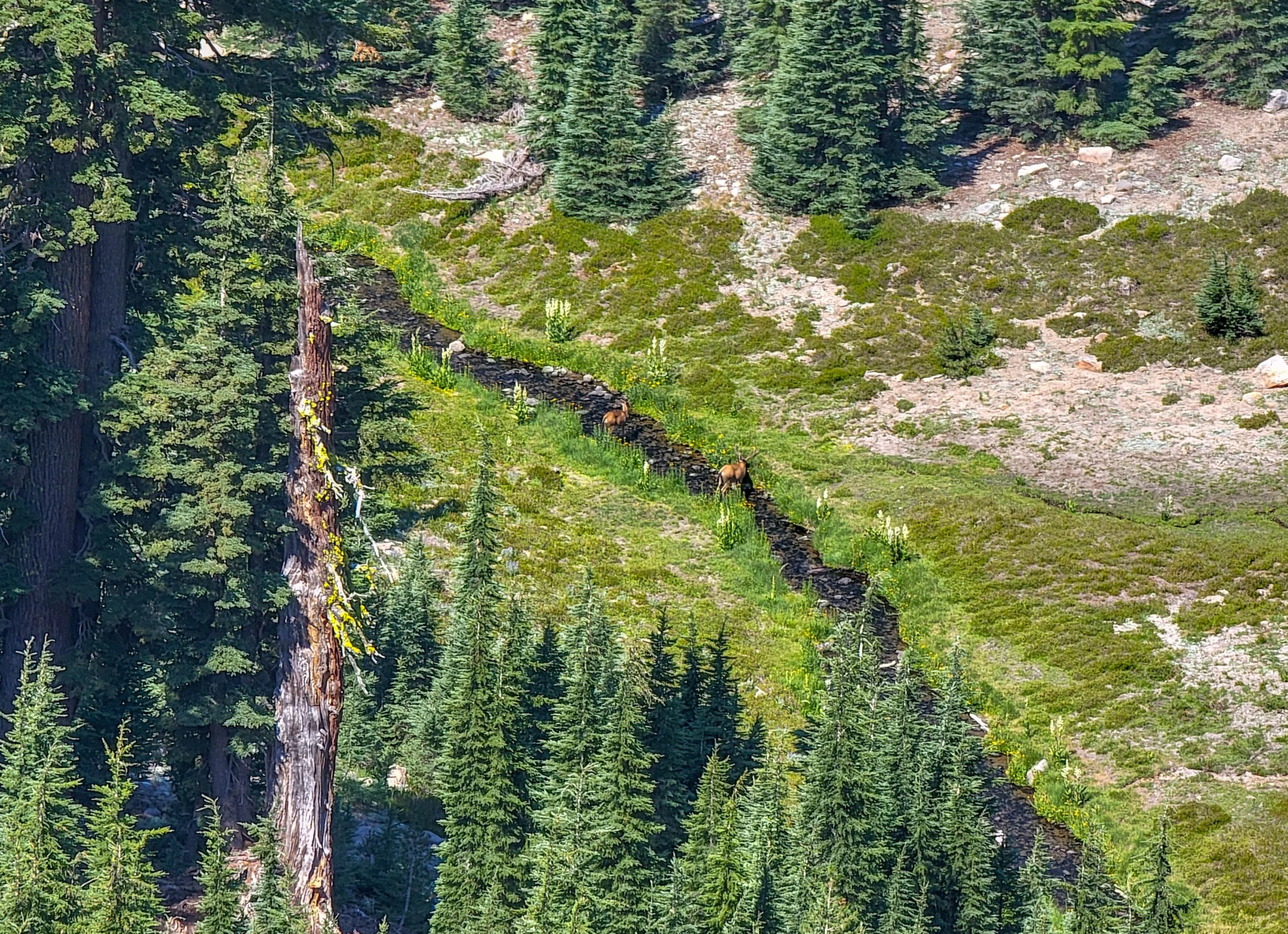
Deer grazing in a meadow below the Bumpass Hell Trail
The meadows below the trail are worth scanning. We spotted deer working along a creek well below us, and the open sight lines here make wildlife easier to pick out than almost anywhere else in the park.
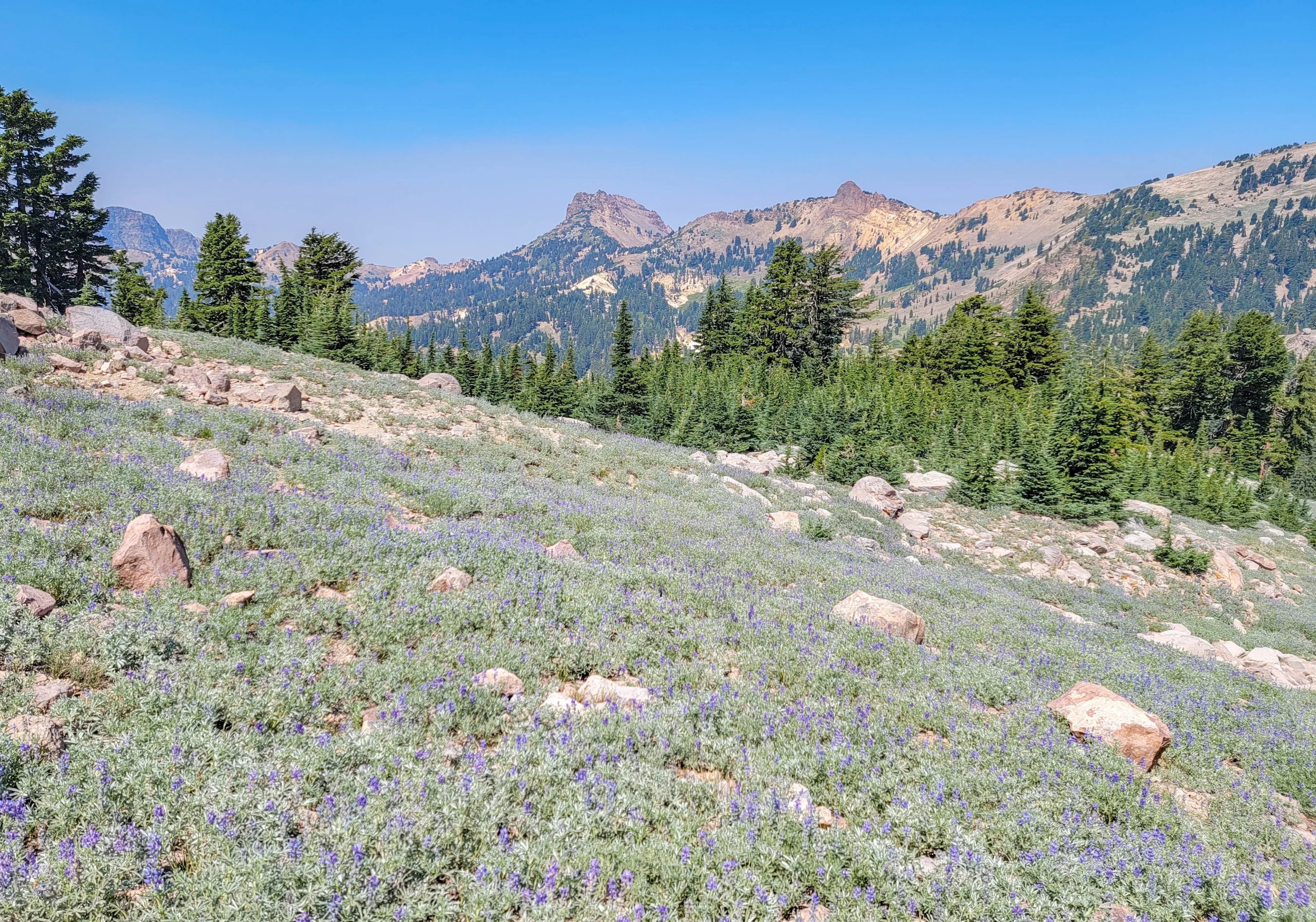
Lupine meadow along the Bumpass Hell Trail with volcanic peaks beyond
Because the trail opens so late, you catch high-elevation wildflowers at their peak in what feels like the wrong month. Lupine covers whole slopes here in mid-July, which is essentially alpine spring at 8,200 feet.
The Basin
At about one mile, the trail reaches an overlook above the basin, and this is the moment the hike turns into something completely different.
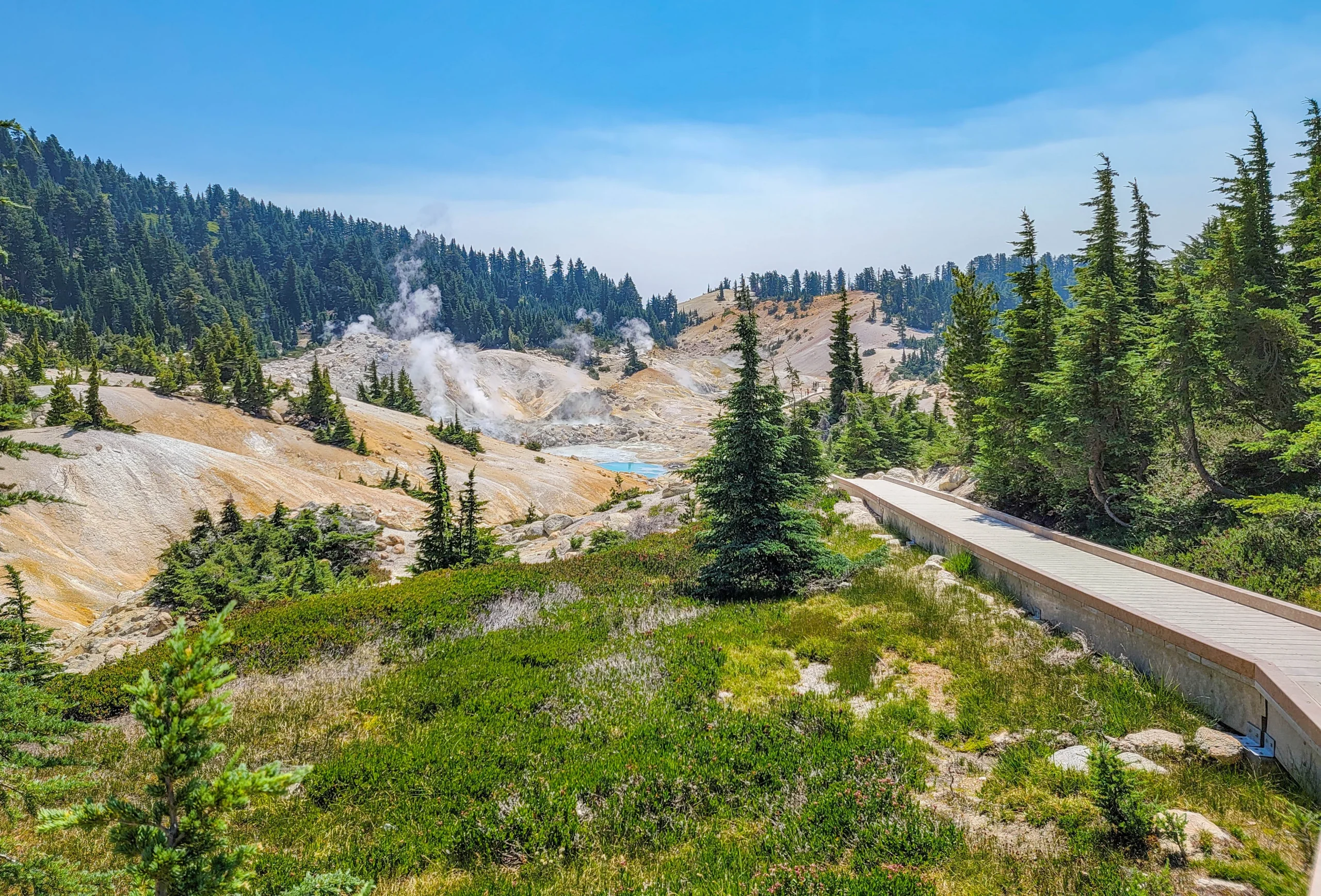
First view down into the Bumpass Hell basin with the boardwalk visible below
The ground drops away into a bowl of bleached, sulfur-stained rock with steam venting from a dozen points at once. The color shift is abrupt — you’ve been walking through gray volcanic rock and green conifer slopes, and suddenly everything below you is white, yellow, and rust.
From the overlook the trail drops roughly 300 feet (90 m) into the basin, where a boardwalk carries you through the middle of the hydrothermal field.
The boardwalk is the whole experience. It runs right past boiling pools, mudpots, and fumaroles, close enough that you hear them and smell the hydrogen sulfide constantly. The pools range from milky gray to a turquoise that looks artificial until you’re standing over it.
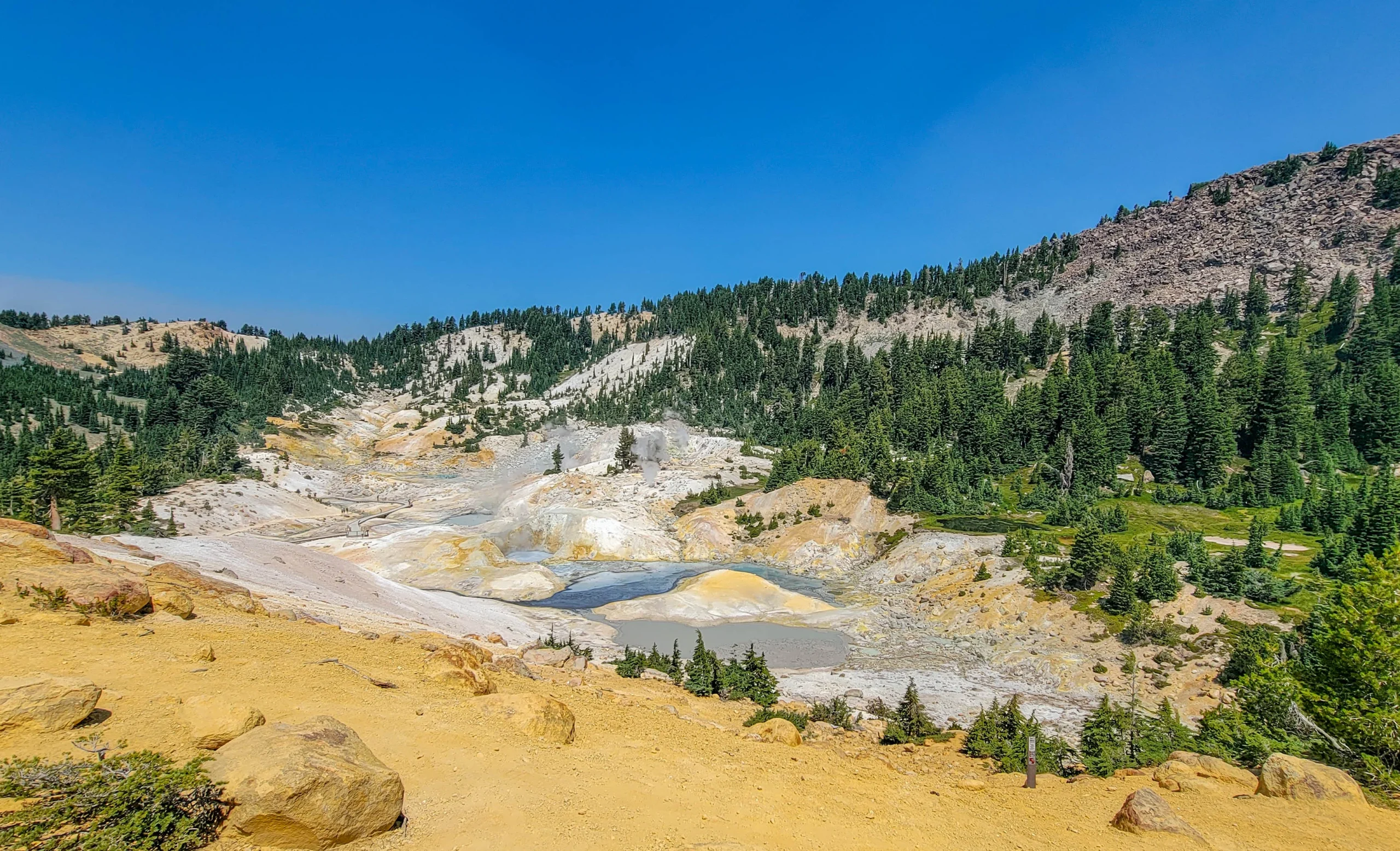
Yellow and orange sulfur-stained ground around hot pools at Bumpass Hell
A second trail skirts the northern edge of the basin and climbs the eastern side to another overlook. Most people turn around at the boardwalk, which means the second overlook is usually quieter and gives you the basin from a completely different angle. It’s a short addition and I’d take it.
The Return
The way back is the same trail, and the climb out of the basin is the only part that will make you work.
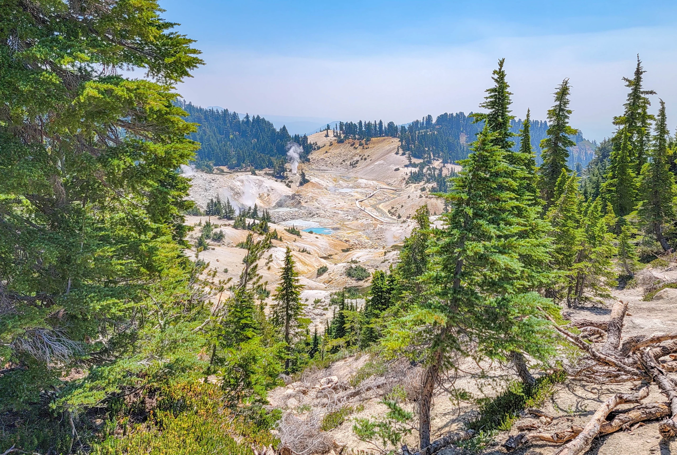
The Bumpass Hell basin seen from the return trail through conifers
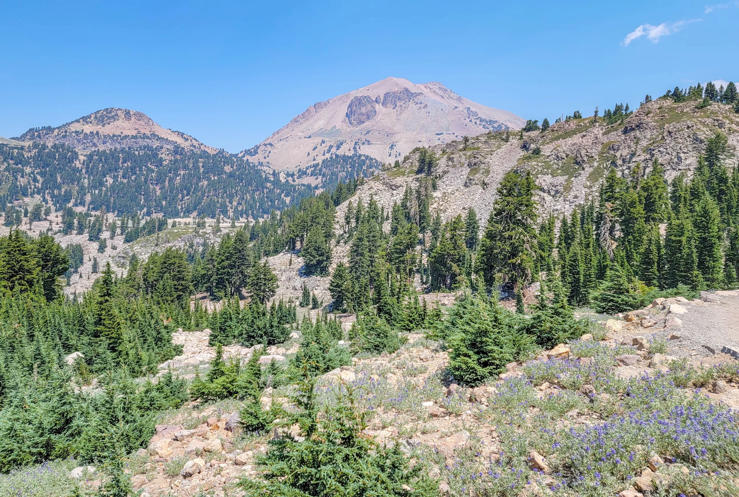
Lassen Peak seen from the Bumpass Hell Trail above a lupine slope
Heading back you’re walking toward Lassen Peak the whole way, which is a better view than the outbound direction gives you. It’s worth turning around occasionally on the way in, or just accepting that the return leg is the scenic one.
Safety in the Hydrothermal Area
This section matters more here than on a normal trail, and the park is blunt about it.
- Stay on the boardwalk and established trails. Ground in hydrothermal areas can look solid while hiding a thin crust over boiling, acidic water or mud. People have been severely injured stepping off. This is exactly how Bumpass lost his leg.
- The water and mud are acidic. Don’t touch them, and don’t let children or pets near them. Even water that feels cool is acidic enough to irritate or burn skin with prolonged contact.
- Watch your footing. Knee and ankle injuries are the most common visitor injury in Lassen. Wear closed-toe shoes with real tread and ankle support, and consider poles.
- Winter conditions persist into summer in the forested sections, particularly early in the season. Snow patches on a high traverse are the usual culprit for slips.
Know Before You Go
- Shade is limited. Bring a hat and more water than a 3-mile hike normally warrants.
- You’re at 8,200 feet. Altitude aggravates preexisting conditions, and the thin air makes the climb out of the basin harder than the numbers suggest. Pace it.
- No dogs, no exceptions, including carried pets.
- No reservations and no trail fee. You need a park entrance pass, and that’s it.
- Combine it with Sulphur Works, a roadside hydrothermal area a few miles south that requires no hiking at all — good for a quick look if you’re short on time.
Alternatives if the Trail Is Closed
- Sulphur Works — the most accessible hydrothermal area in the park, right off the highway
- Boiling Springs Lake — 3 miles (4.8 km) round trip, Warner Valley
- Devils Kitchen — 4.4 miles (7.1 km) round trip, Warner Valley
- Terminal Geyser — 5.8 miles (9.3 km) round trip, Warner Valley
The Warner Valley trio requires a long drive around to the south side of the park, so treat it as a separate day rather than a substitute afternoon.
Is It Worth It?
Yes, without much qualification. Three miles, gentle grade, and a payoff that has no equivalent in California — the closest comparison is Yellowstone, and you don’t have to share this one with anywhere near the same crowd.
The biggest caveat isn’t about the hike, it’s about the calendar. This trail is closed more of the year than it’s open, and the opening date has ranged from June 7 to September 13 over the past fifteen years. Plan around snowpack, check the status page the morning you go, and have Sulphur Works in your back pocket.
For current trail status, opening dates, and conditions, visit the National Park Service page for Bumpass Hell Trail and Lassen Volcanic National Park.
0 Comments