
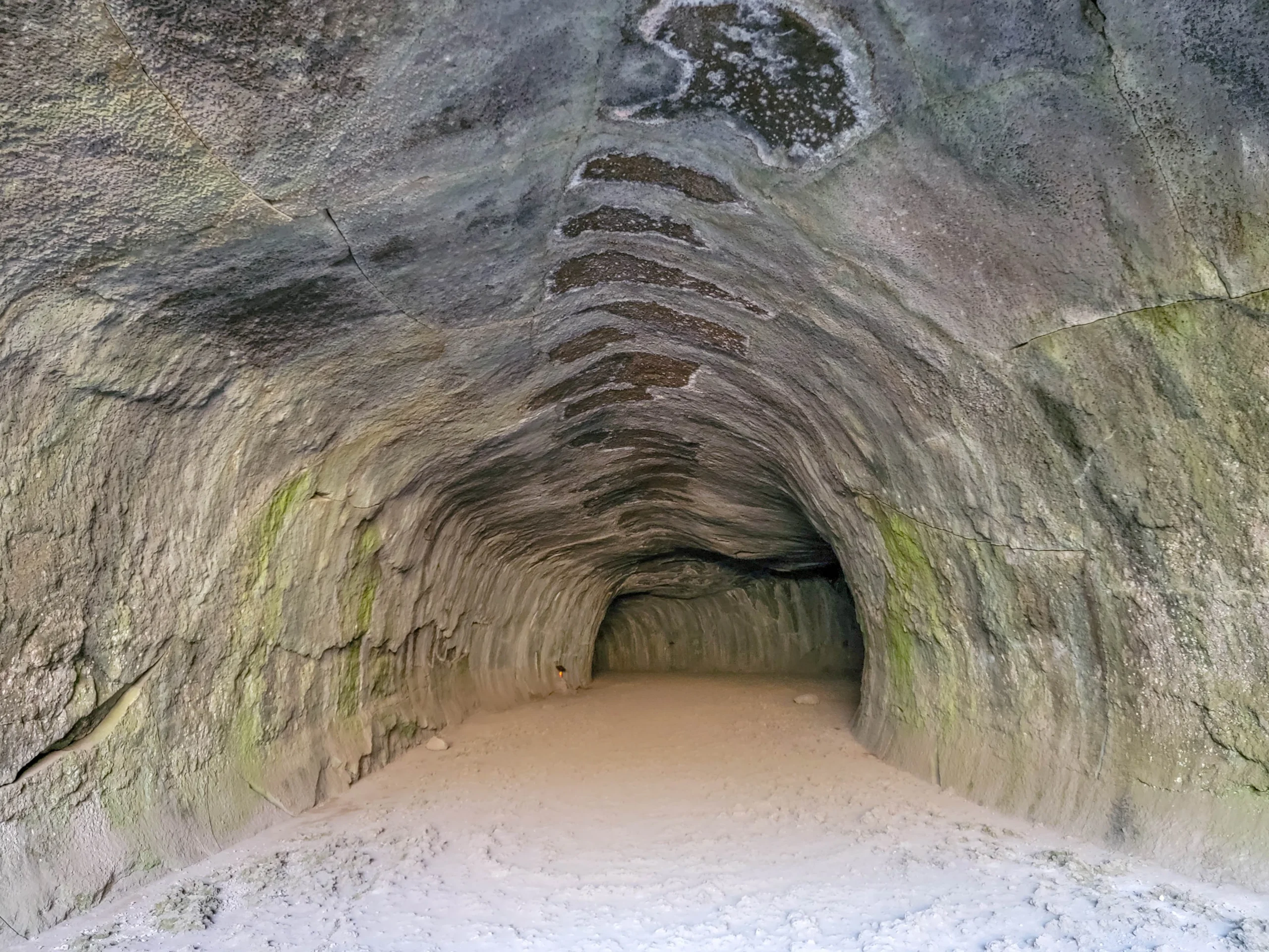

Subway Cave is a 1,300-foot (400 m) lava tube in Lassen National Forest near Old Station, California, that you can walk straight through on a self-guided trail. The full loop — down through the tube and back on the surface — runs about a third of a mile (0.5 km) and takes 30 to 45 minutes. It’s free, it requires no permit, and it is one of the most genuinely strange half hours you can spend in Northern California.
First, the thing most people get wrong: Subway Cave is not in Lassen Volcanic National Park. It sits in Lassen National Forest, managed by the Hat Creek Ranger District — a different agency with different rules. Your national park pass isn’t needed here, because there’s no fee at all. People routinely conflate the two, then plan a park day around a cave that’s outside the park boundary.
The Subway Cave tube formed less than 20,000 years ago, when the Hat Creek lava flow poured out of a series of north-south fissures and ran 16 miles (26 km) north down the floor of Hat Creek Valley. The surface crust cooled and hardened while red-hot lava kept flowing underneath, insulated by its own roof. When the eruption stopped, the molten rock drained away and left the tube behind. The entrance you use today is a partial roof collapse.
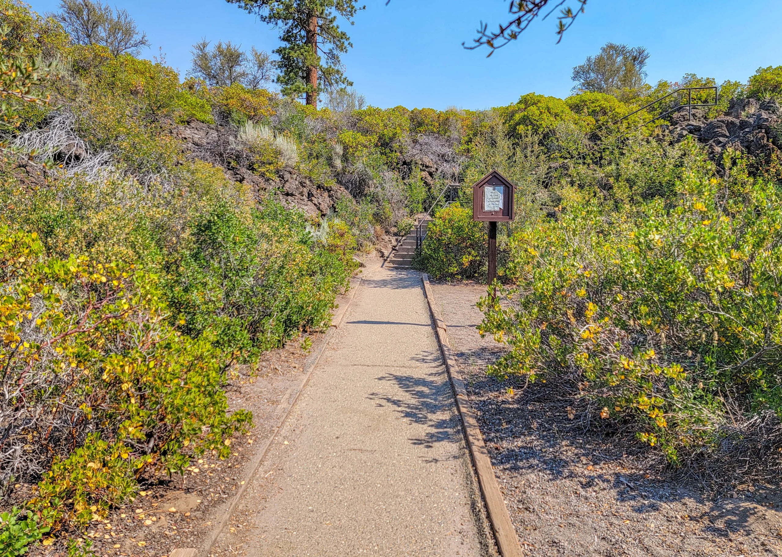
Paved trail through lava flow and manzanita to the Subway Cave entrance
Subway Cave Tube Facts
- Tube length: 1,300 feet (400 m)
- Total trail length: 1/3 mile (0.5 km), including the above-ground return
- Time: 30 to 45 minutes
- Temperature: A constant 46°F (8°C) year-round
- Ceiling height: Varies from 6 to 17 feet (1.8 to 5.2 m)
- Roof thickness: 8 to 24 feet (2.4 to 7.3 m) of rock overhead
- Visibility: Zero. There is no lighting of any kind.
- Season: Late May through October; closed in winter
- Fee: None. Donations accepted.
- Difficulty: Easy, but the floor is rough and uneven
- Managed by: Hat Creek Ranger District, Lassen National Forest
Getting There
Subway Cave and Lassen National Forest are easy to reach, which is not something you can say about most of the volcanic features in this region.
It’s a quarter mile (0.4 km) north of the Highway 44/89 junction at Old Station, directly across from Cave Campground. The turnoff is signed, the access road is paved, and there’s a proper parking area with vault toilets and picnic tables.
That’s it. No dirt road, no stream crossings, no reservation system.
The Old Station Visitor Information Center sits just down the road and is open April through December with variable hours. For current cave status, call the Hat Creek Ranger District at (530) 336-5521.
Bring Real Flashlights — This Matters
The Forest Service brochure puts it plainly: visibility is zero in the cave.
This is not a show cave. There is no lighting, no guide, no handrail through the middle, and no ambient glow once you’re past the entrance chamber. When you get to the middle of the tube and turn your light off, the darkness is total in a way that most people have never actually experienced.
- Bring a real flashlight or headlamp per person, not a phone. A phone screen won’t show you the floor, and you’ll want a hand free.
- Bring a backup. A dead battery in the middle of a 1,300-foot lava tube is a genuinely bad situation, and the whole point of a second light is that it’s carried by someone else.
- Headlamps beat handhelds here because the floor is uneven and you’ll want to look up at the ceiling constantly.
What to Wear
A jacket, even in August. The cave holds at 46°F (8°C) year-round regardless of what the surface is doing. Walking from a 90-degree July morning into that is a 45-degree swing in about twenty steps.
Closed-toe shoes with real tread. The floor is rough, uneven lava rock and loose sand. One of the named sections is called Stubtoe Hall, and the name is not decorative.
Walking Through Subway Cave
A concrete stairway drops through the collapsed roof into the tube.
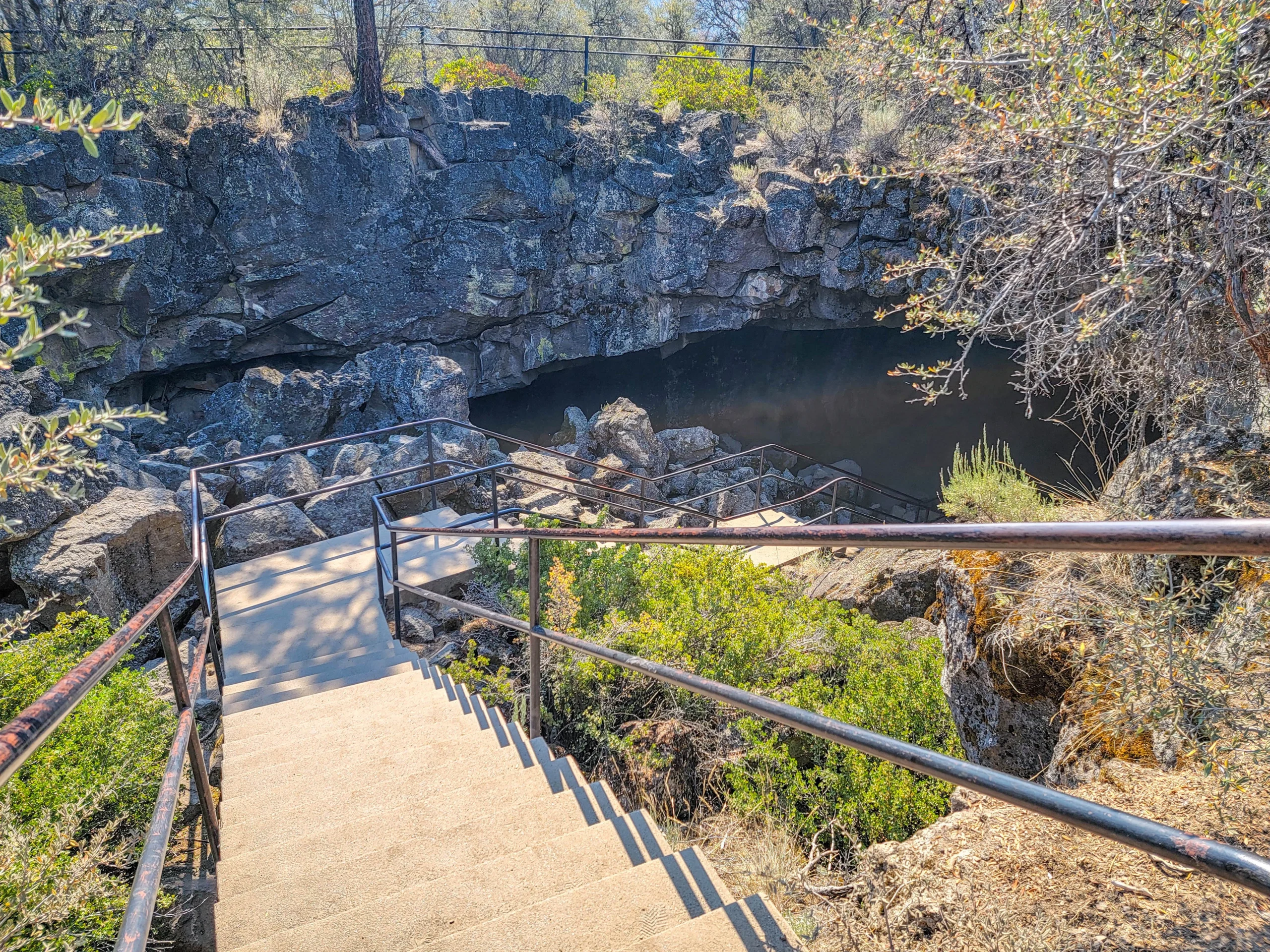
Concrete entrance stairway descending into the Subway Cave collapse opening
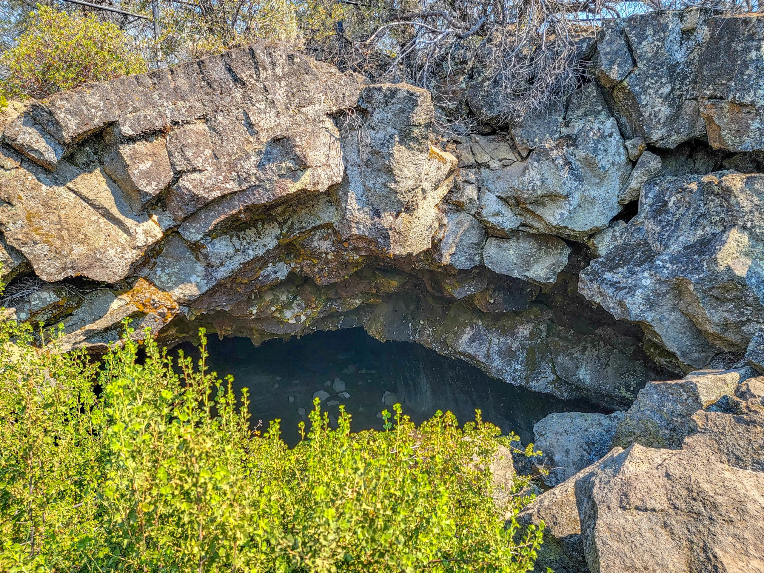
The Subway Cave entrance opening seen from above at ground level
The temperature change hits before you reach the bottom step. So does the smell — cold, wet rock, completely unlike the dry manzanita and pine above. We went in on a July morning that was already warming up outside, and I’d have turned back for a jacket if I hadn’t brought one.
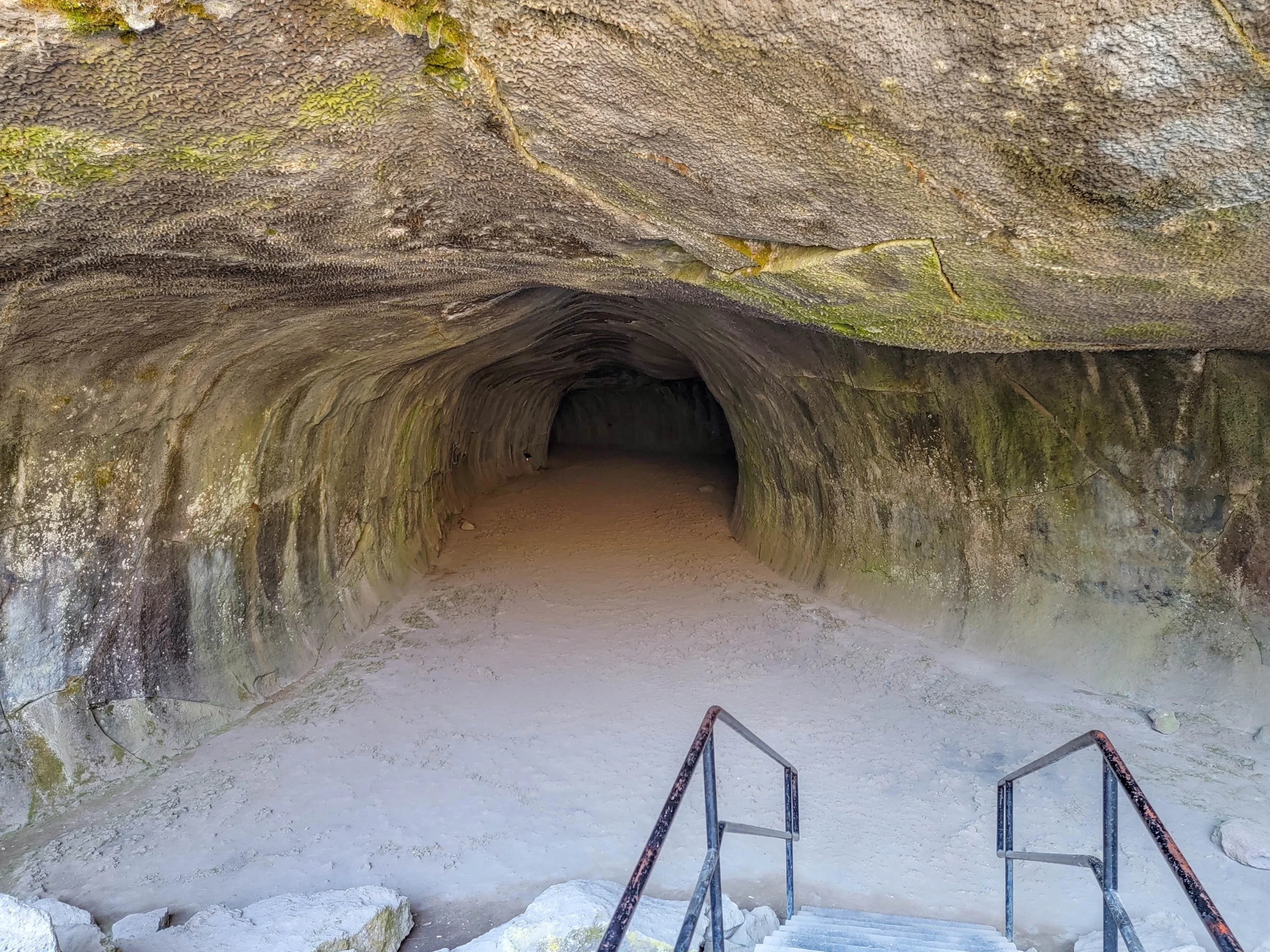
Looking into the lava tube from the bottom of the Subway Cave entrance stairs
The first section is still lit by daylight coming through the entrance, and it’s where the tube’s shape reads most clearly — a broad, flat-bottomed arch with a smooth ceiling, exactly the cross-section you’d expect from a river of lava that drained out and left its own casing behind.
The self-guided trail has named stops marked by signs, and the names are half the fun: Devil’s Doorway, the Wind Tunnel, Lucifer’s Cul-de-Sac, Stubtoe Hall, The Sanctum, Lavacicle Lane, the Rattlesnake Collapse, and the Lava Bubbles.
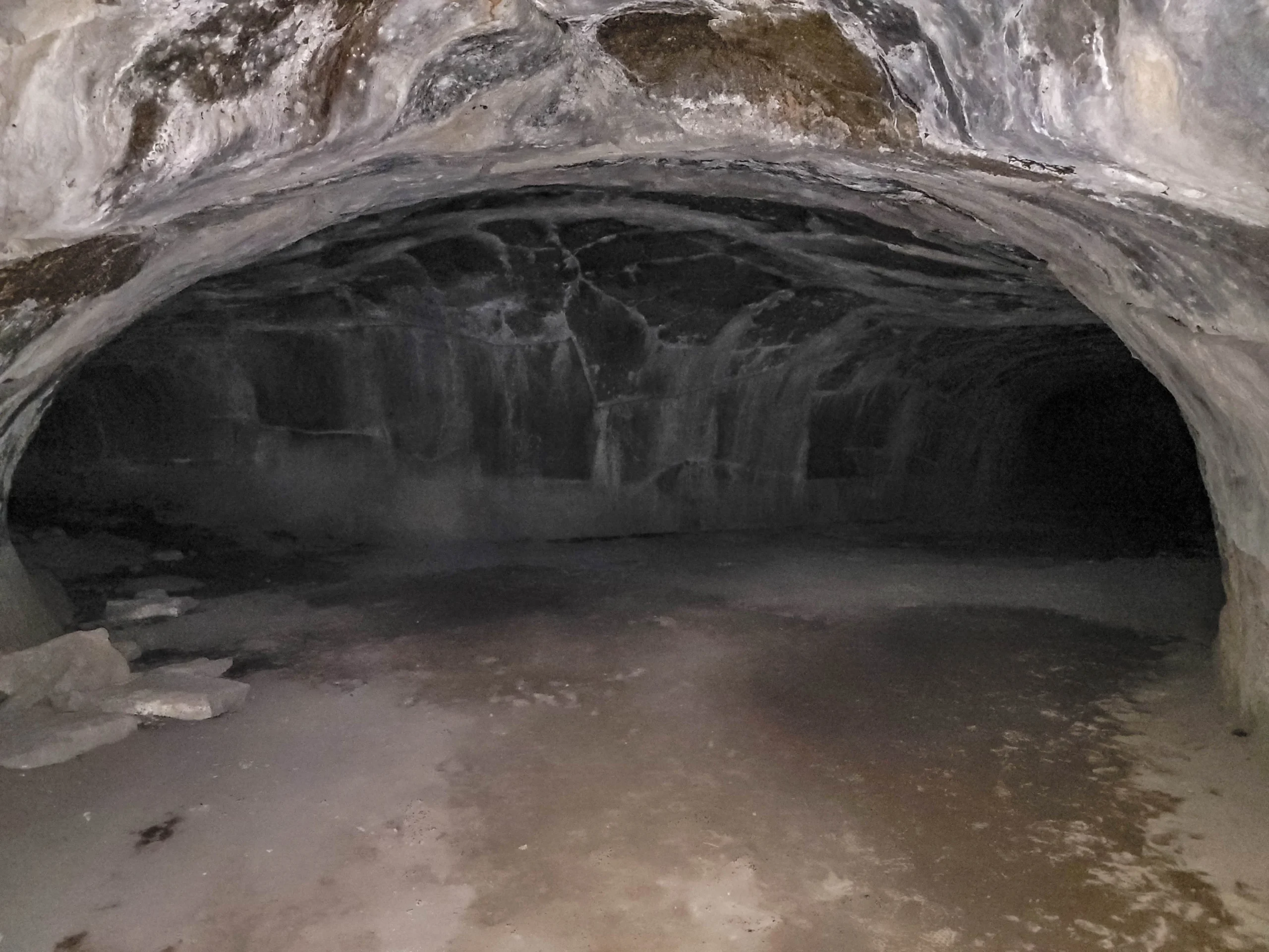
Dark interior of the Subway Cave lava tube
Past the entrance chamber the daylight goes and does not come back. Your flashlight is the only thing showing you the walls, and the tube is wide enough that a small light doesn’t reach both sides at once.
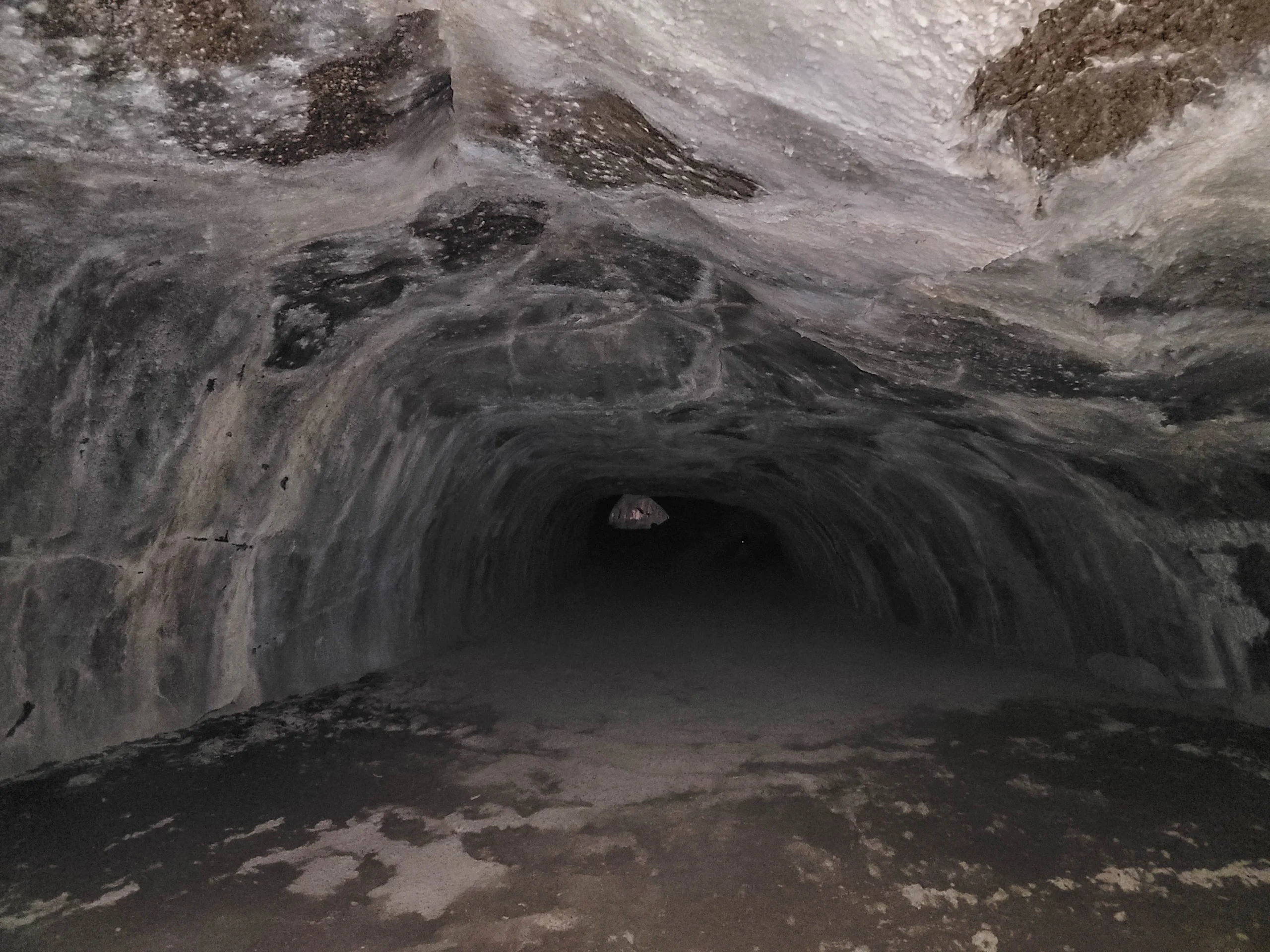
Deep darkness in the middle section of the Subway Cave lava tube
The middle stretch is the reason to come. The ceiling ripples where the lava’s surface froze mid-flow, and in places you can see the horizontal marks the lava left on the walls as the level dropped, like a bathtub ring in stone. I spent more time here than anywhere else in the tube, mostly just moving a light around to see what the walls would do.
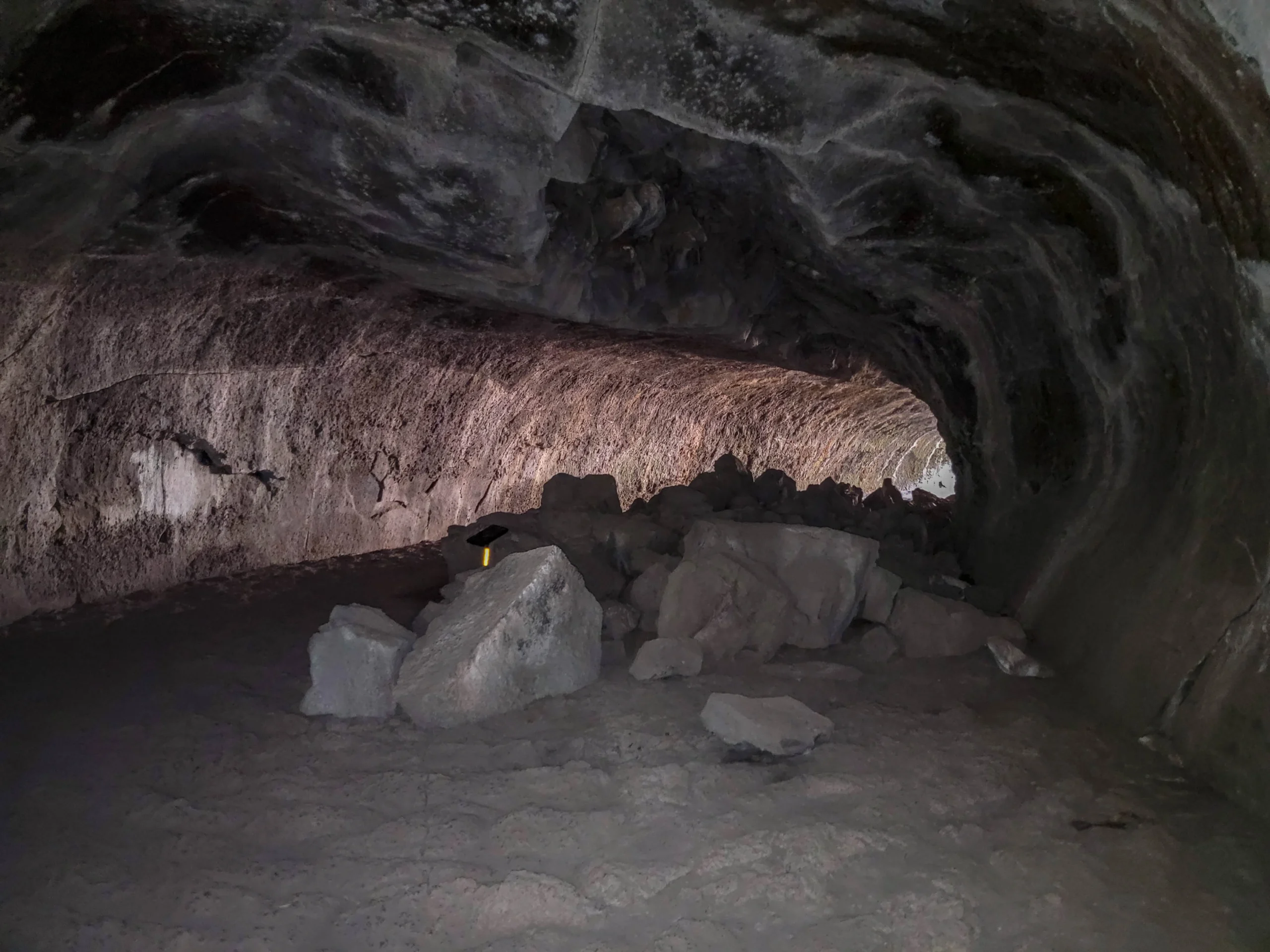
Breakdown boulders on the floor of a Subway Cave chamber
Sections of collapsed ceiling lie in heaps on the floor, which is worth thinking about for a moment given there’s 8 to 24 feet of rock above your head. The breakdown is ancient and the cave is stable, but it does focus the attention.
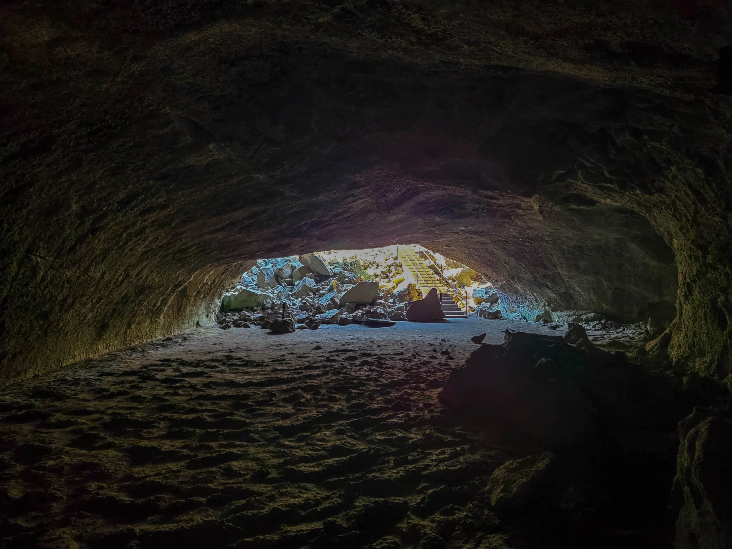
Daylight flooding into the far end of Subway Cave near the exit stairway
Then the far end opens up and daylight floods in, which after fifteen minutes of full dark is genuinely startling.
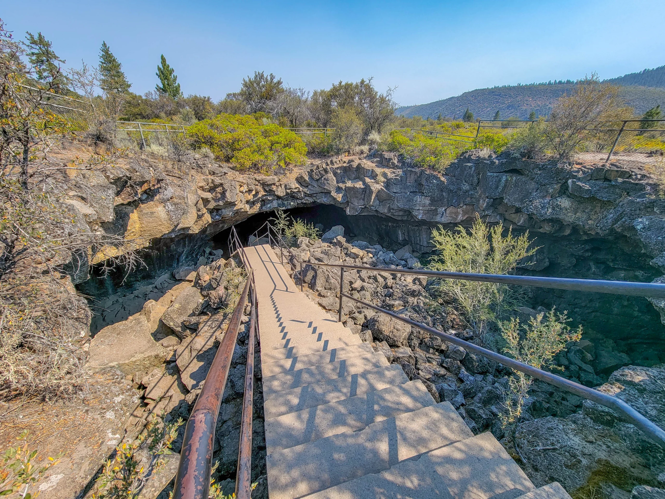
The Subway Cave exit stairway seen from above
At the end of the underground trail, climb the exit stairs and turn right onto the above-ground trail to loop back to the parking area. Don’t walk back through the tube — the surface trail is short, and it gives you the other half of the story.
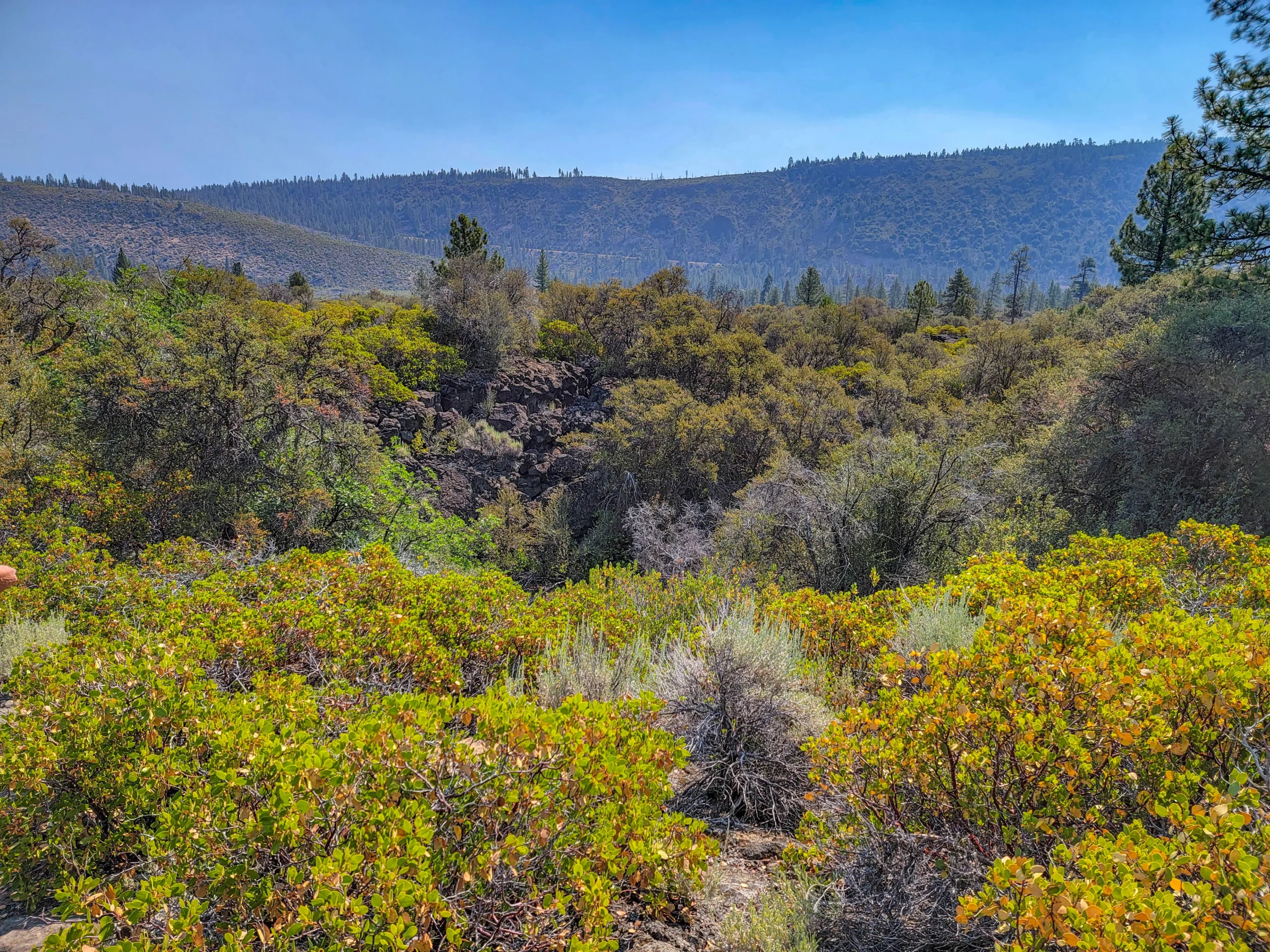
Above-ground return trail through manzanita and lava rock at Subway Cave
The return path crosses the top of the same flow you just walked through, and seeing that broken black rock and manzanita from above — knowing the tube runs somewhere underneath it — lands better than it would have on the way in.
Photography Notes
This is a hard place to photograph and worth setting expectations about.
- The entrance and exit chambers are where your photos will come from. The mixed light — daylight pouring into a dark tube — is the only real illumination you’ll get.
- A tripod helps enormously if you want anything from the dark middle sections. Handheld shots at those ISOs turn to noise.
- A flashlight makes a decent light-painting source if you have a tripod and a few seconds of exposure.
- Shoot the ceiling texture near the entrance, where there’s still enough light to catch the ripples and flow lines.
- Include a person for scale. The tube is bigger than photographs suggest, and without a figure it just looks like a dark tunnel.
Know Before You Go
- No lighting, no cell service, no water. Bring everything.
- The cave closes for the winter, roughly November through late May. Snow closes the access, not the cave itself.
- Watch your head. The ceiling drops to 6 feet (1.8 m) in places, and the low spots come up faster than you expect in the dark.
- Kids generally love this, but the total darkness genuinely scares some. The entrance chamber is a good place to gauge it before committing to the full tube.
- Nearby: Old Station has limited services. Fill up on gas and food in Burney or Redding.
- Check for bat-related restrictions. White-nose syndrome has closed caves across the country, and rules can change season to season. Subway Cave has been open under normal seasonal closures, but a call to the ranger district before a long drive is cheap insurance.
- On the Dixie Fire: we visited in July 2021, a few weeks before the Dixie Fire reached this area. In August 2021 the fire ran north toward Old Station, evacuations were ordered for the town and the surrounding roads, and the fire crossed the Highway 44/89 junction — a quarter mile from the Subway Cave turnoff. The Lassen National Forest closure order ran through November 30, 2021. The tube itself is solid rock and unchanged, but the manzanita and pine on the surface loop and along the drive in are not necessarily what’s in these photos. The site operates on its normal seasonal schedule now; check with the ranger district for current surface conditions.
Is It Worth It?
Yes, and it’s an unusually easy yes — free, half an hour, right off the highway, with no permit and no planning.
The honest framing is that this is a curiosity rather than a destination. You wouldn’t drive four hours for Subway Cave alone. But it sits right at the north end of the Lassen area in Lassen National Forest, and it pairs perfectly with the volcanic sights nearby. Lassen National Forest completely surrounds Lassen Volcanic National Park on the north, east, and south sides in northern California. The 166-square-mile national park sits nested inside the nearly 1.2-million-acre national forest.
We did Subway Cave in the morning and the Cinder Cone Trail that same afternoon, which makes for a great day: a lava tube before lunch, a 700-foot cinder cone after. The only change we might advise is that it is much hotter and unprotected at Cinder Cone, so you might want to think about doing that in the morning so you can do the nice cool lava tube in the afternoon.
What sticks isn’t the geology so much as the dark. Standing in the middle of a rock tube that a river of lava left behind, with your light off, is a sensation you don’t get many other places.
For current status, seasonal closures, and conditions, contact the Hat Creek Ranger District at (530) 336-5521.
0 Comments