
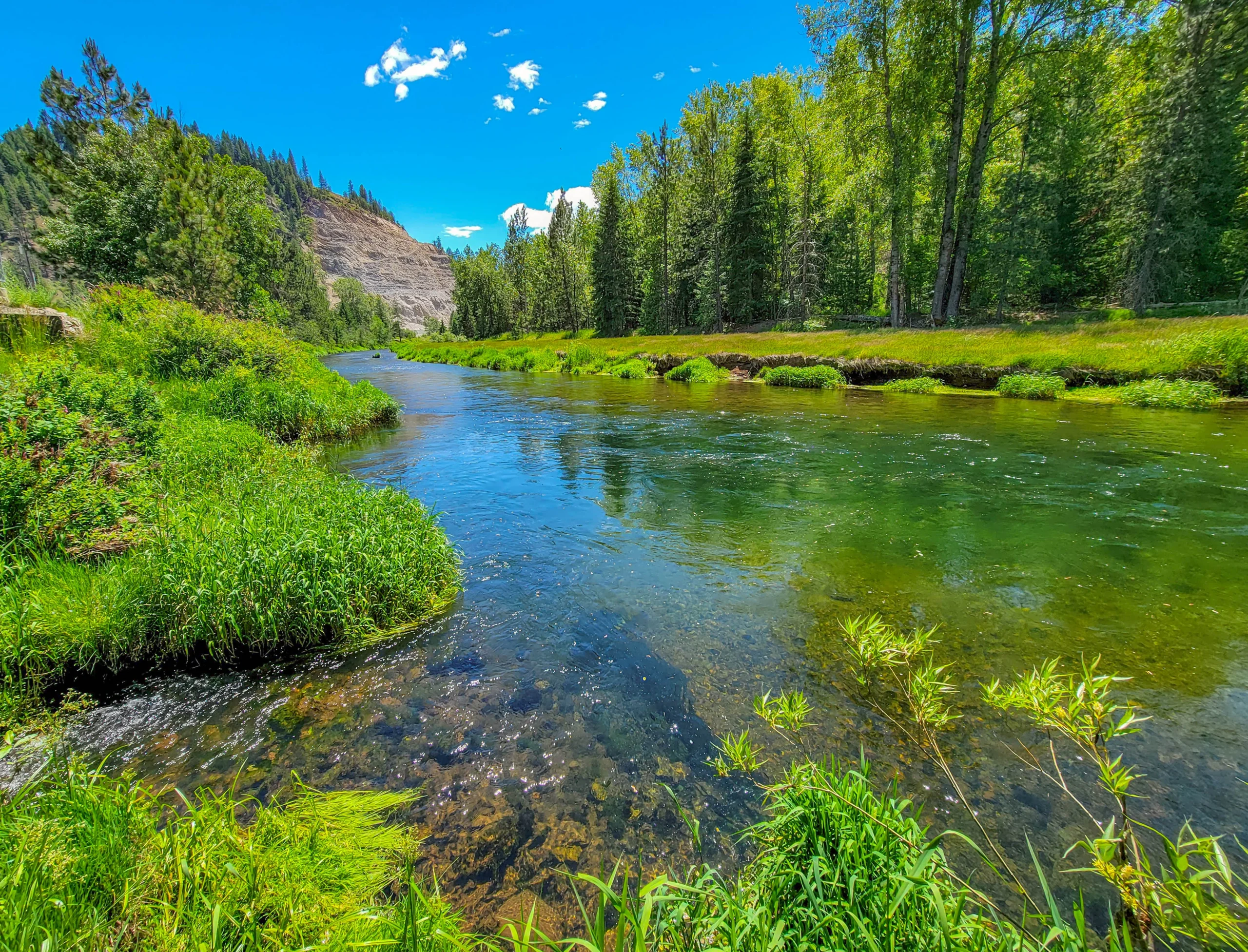

The Trail of the Coeur d’Alenes is a 73-mile paved rail-trail across the Idaho panhandle, following the old Union Pacific rail bed from Mullan to Plummer through the Silver Valley, along the Coeur d’Alene River, past Lake Coeur d’Alene, and onto the Coeur d’Alene Reservation. It’s flat enough for a family ride and long enough to plan around — most riders pick a section rather than attempt the whole thing in a day.

Trail Facts
- Length: 73.2 miles, Mullan to Plummer
- Surface: paved throughout
- Grade: doesn’t exceed 2–3%, typical of a converted rail bed, with only a few short climbs
- Recognition: named one of the 25 top trails in the nation in 2010 by the Rails to Trails Conservancy
- Fee: the trail itself is free — confirmed against Idaho Parks and Recreation’s own trail page. One catch: if you park inside Heyburn State Park to reach the trail near its western end at Plummer/Chatcolet Lake, that’s a state park and carries Idaho’s standard motor vehicle entrance fee ($7/vehicle as of the last confirmed rate change, though it’s worth double-checking since it’s been a few years) — or a $10 annual Idaho Parks Passport if you’re visiting multiple state parks on the same trip

Getting There
The Trail of the Coeur d’Alenes crosses several small towns along its length — Mullan, Wallace, Kellogg, Pinehurst, Cataldo, Harrison, and Plummer among them — each with its own access point and parking. We started from our campground in Osburn, near mile 60.4, and rode west toward the town of Coeur d’Alene; that stretch through the Silver Valley and along the river was scenic enough that we didn’t miss having a specific destination in mind.

Riding the Trail of the Coeur d’Alenes
We covered almost 20 miles out (about 40 round trip) and never felt like we’d run out of good scenery — the trail alternates between river corridor, open valley, and small-town main streets, with enough variety that a long out-and-back doesn’t get monotonous the way flat rail-trails sometimes can. The eastern half through the Silver Valley carries mining history in the old buildings and place names; the western half opens up along Lake Coeur d’Alene and crosses onto the Coeur d’Alene Reservation, land of the Coeur d’Alene Tribe, whose history is woven through the trail’s interpretive signage.
If you’re combining this with the Route of the Hiawatha, the two trails are a natural pair — Hiawatha’s eastern trailhead near Lookout Pass is a short drive from where this trail starts in Mullan, and several outfitters in the area shuttle riders for both.

Photography Notes
- The river sections east of Cataldo give the best water-and-forest combinations. Morning light works best there.
- Stop at the Old Mission of the Sacred Heart near Cataldo. Idaho’s oldest standing building is worth the short detour if you’re riding that stretch.
- The open valley west toward Plummer photographs better in late afternoon, once the flat midday light softens.
Know Before You Go
- Bring your own water and snacks — services are limited to the small towns you pass through, and stretches between them are long
- Rentals and shuttles are available in Kellogg, Wallace, and Coeur d’Alene if you don’t want to ride an out-and-back
- The trail itself is free, but Heyburn State Park isn’t — bring a few dollars in cash or a Parks Passport if you’re parking inside the park near Plummer
- Pairs naturally with the Route of the Hiawatha, a short drive away near Mullan
Is the Trail of the Coeur d’Alenes Worth It?
Yes — this is one of the best rail-trails in the country for a reason. We ranked it #3 on our list of 10 Best Rails to Trails. Pick a section, especially the river miles east of Cataldo, and you’ll see why the Rails to Trails Conservancy put it on their national top-25 list.
Current conditions and trailhead info: Idaho Parks and Recreation – Trail of the Coeur d’Alenes.

0 Comments