
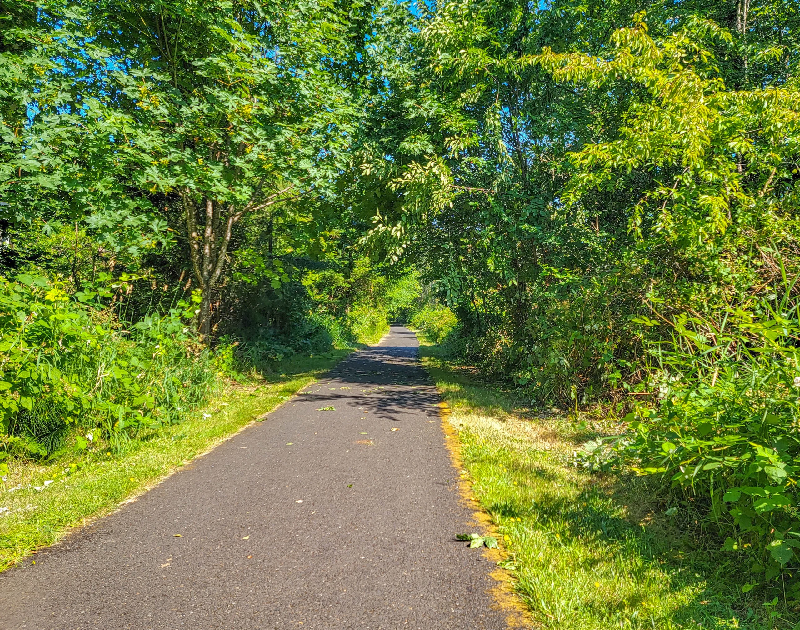

The Banks-Vernonia State Trail is a 21-mile (34 km) paved rail trail between the towns of Banks and Vernonia, about 30 miles west of Portland, Oregon. It was Oregon’s first rails-to-trails conversion, built on a logging railroad grade through the Coast Range foothills.
Almost every description you’ll read calls it relatively flat. It isn’t, and the reason is specific. We rode it end to end on a July day and climbed a little over 1,100 feet (335 m).
That gap between the description and the ride is the most useful thing anyone can tell you about this trail, so let’s start there.
Why Banks-Vernonia State Trail Isn’t Flat
Rail grades are gentle by design — locomotives can’t climb. On paper this one rises at 2 to 5 percent from Banks to Vernonia, which is exactly what you’d expect and not hard.
The problem is that a rails-to-trails is only as flat as its trestles.
The line originally crossed the high ground on timber trestles. Two of the big ones survive and carry the trail. The Horseshoe Trestle at Tophill does not, and the detour built around it switchbacks up about 700 feet (213 m) and drops roughly 300 feet (91 m) — grades no railroad ever ran.
Add that to the 800 feet (244 m) the trail gains and loses crossing the foothills, and you arrive at something over a thousand feet of climbing on a route most people expect to coast.
Oregon State Parks is careful about this, for what it’s worth. Its own description says the grade is gentle “in all but one area.” It’s the third-party guides that flatten it into “flat.”
Tophill is the high point, and reaching the trailhead sign there means the hard part is behind you.
None of this makes it a difficult ride. It makes it a ride you should eat before, and one where a rider expecting a flat 21 miles gets a surprise around the middle.
Trail Facts
- Length: 21 miles (34 km) one way, Banks to Vernonia
- Surface: Paved and 8 feet (2.4 m) wide, with a separate gravel horse trail about 4 feet (1.2 m) wide alongside most of it
- Elevation: Roughly 800 ft (244 m) gained and lost across the foothills, plus the Tophill bypass — we logged just over 1,100 ft (335 m)
- Grade: 2 to 5 percent on the rail sections; much steeper on the Tophill switchbacks
- Fee: A day-use parking permit is required. One-day permits are sold on site.
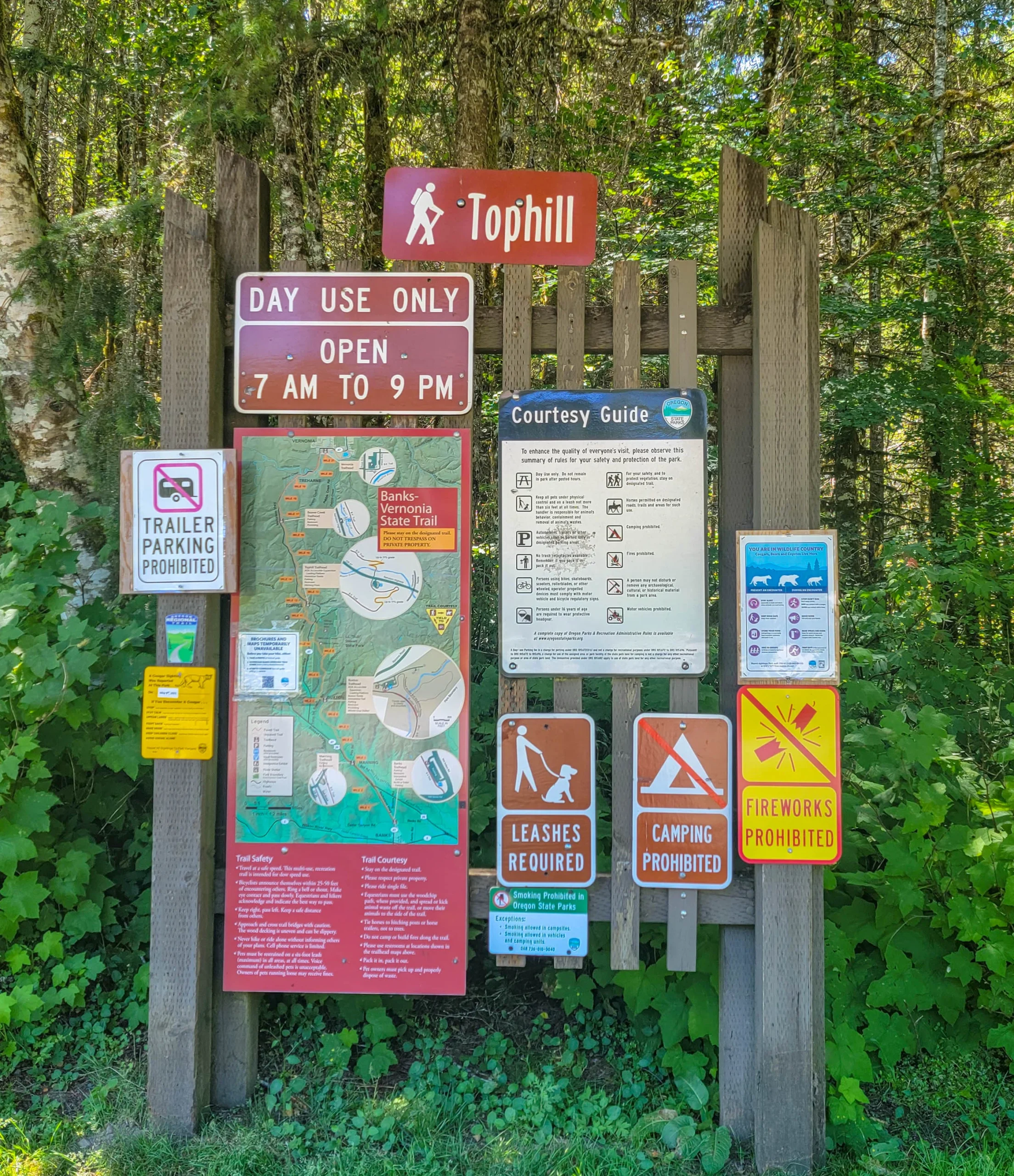
- Hours: Day use, and they change with the season — 7 a.m. to 9 p.m. May 1 to September 1, 7 a.m. to 7 p.m. through November 2, 7 a.m. to 5 p.m. through March 8, then 7 a.m. to 7 p.m. until the end of April
- Trailheads: Five, all with parking and restrooms
- Users: Bikes, walkers, runners, horses. No motor vehicles.
- E-bikes: Permitted — the trail is 8 feet wide, which clears Oregon’s threshold
- Dogs: Permitted, leashes required, 6-foot maximum
- Camping: Prohibited on the trail, and no overnight parking at any trailhead
- EV charging: Two stations at the Banks trailhead
Don’t skip the parking permit line. Most Oregon state parks are free and this one isn’t, which is the same trap the Cape Arago parks set. You can buy a one-day permit at the trailhead.
The Railroad Underneath It
The line dates to the 1920s and carried logs, lumber, freight, and passengers out of the Coast Range. Owners over the years included the Spokane, Portland and Seattle Railway and later Burlington Northern.
The dates that matter come in a tidy sequence. The line was abandoned and the rails salvaged in 1973. The state bought the right of way in 1974. Then it sat for sixteen years before being transferred to Oregon Parks and Recreation in 1990.
It became Oregon’s first rails-to-trails park. Every rail trail in the state since traces back to this corridor, which is a reasonable claim to fame for a paved path through farm country.
The evidence is all in the engineering. Long straight runs, gentle curves, cuts through hillsides, and the bridges.
Riding Banks-Vernonia State Trail
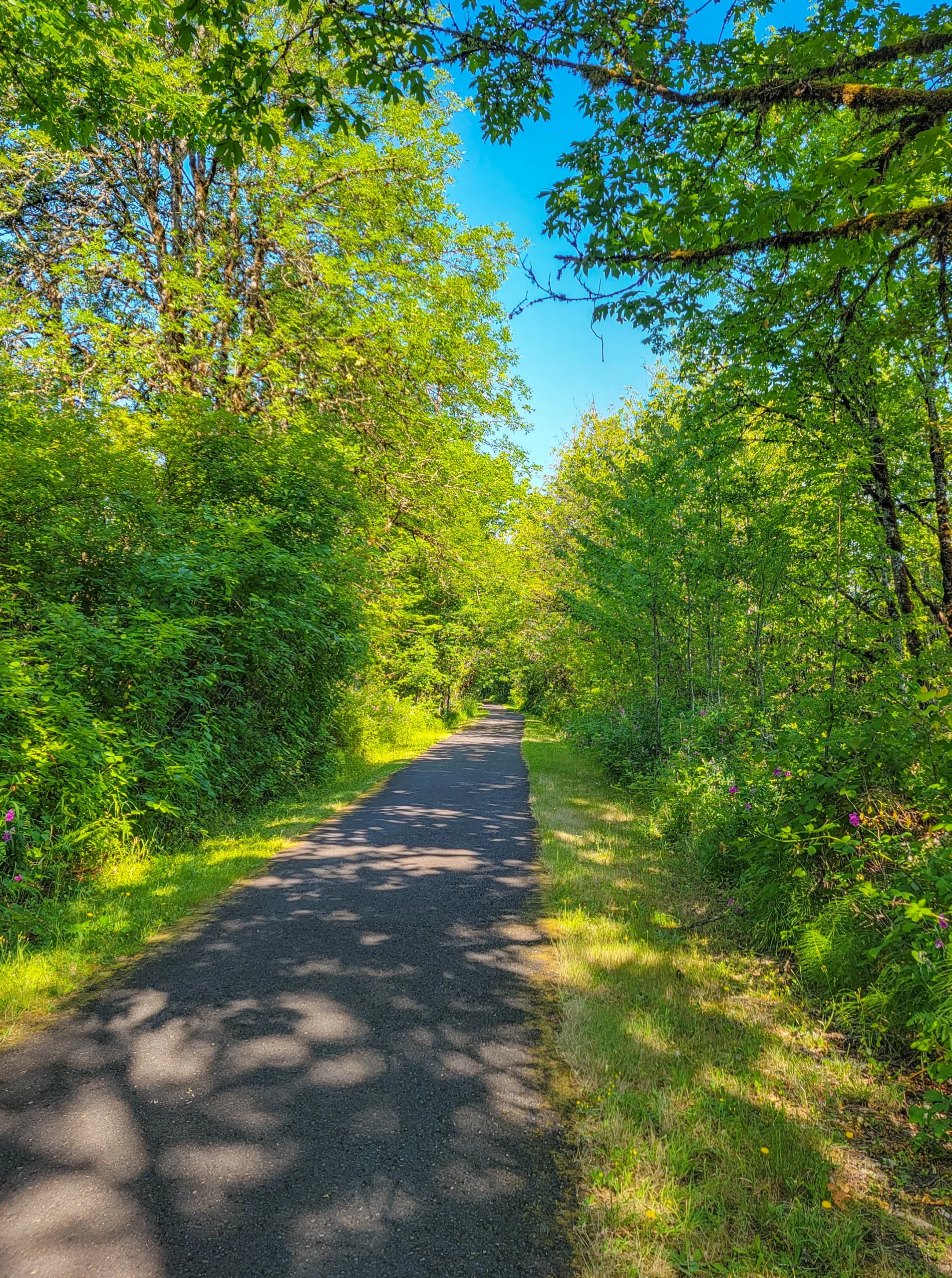
We started from the Banks end in the morning. The southern miles run through farmland and second growth, mostly shaded, with the trail switching between green tunnel and open country every few minutes.
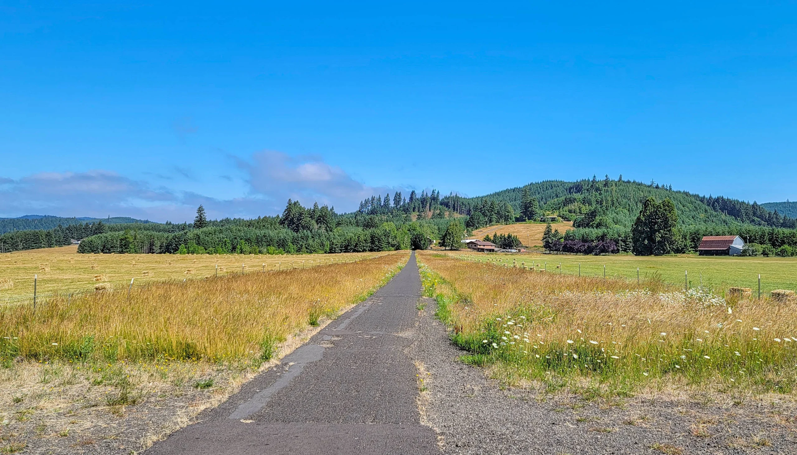
Then it opens out completely — cut hay, barns, and forested ridges beyond. Early July had the fields baled and the grass gone gold at the edges while everything under the trees was still bright green.
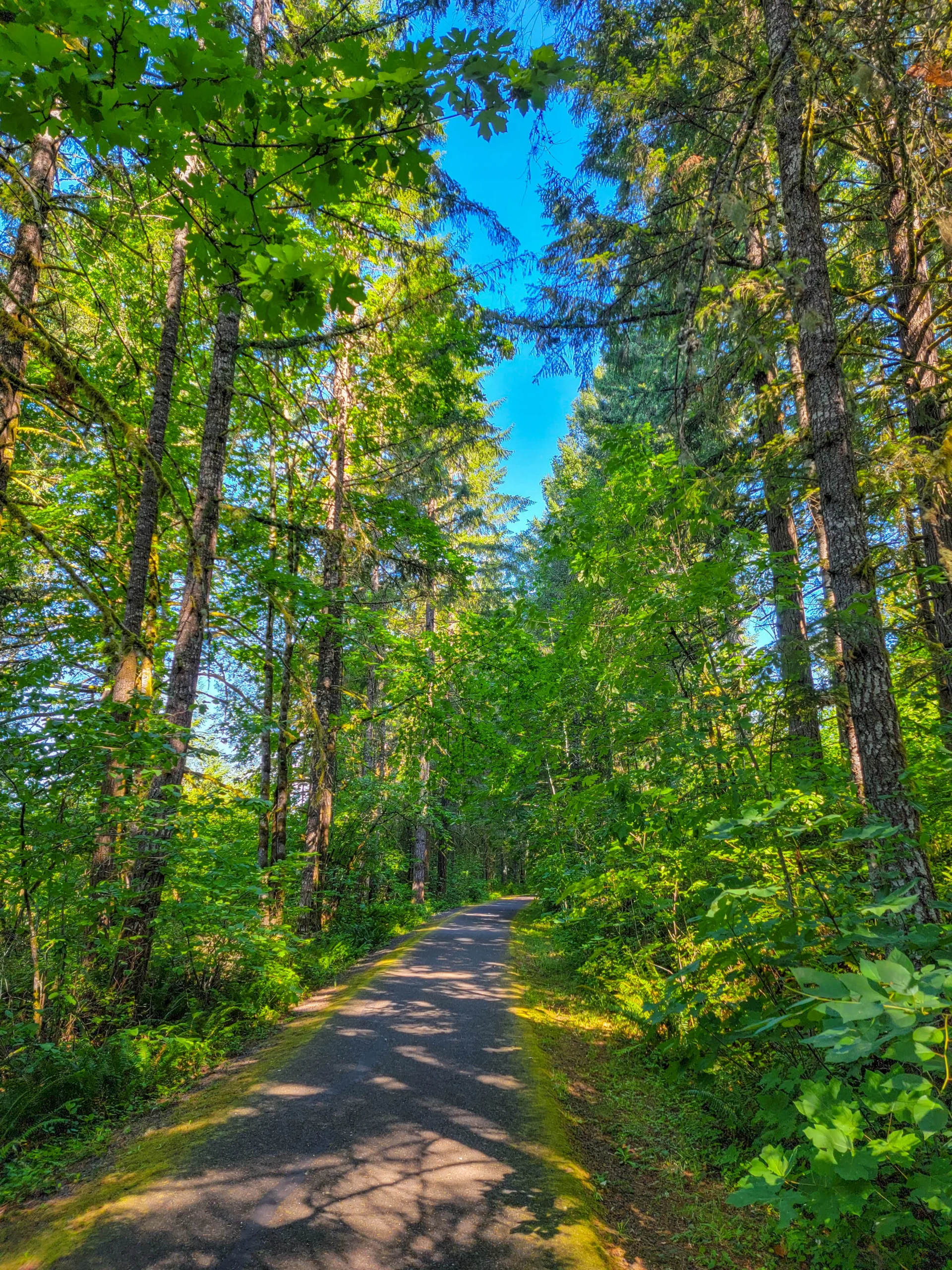
North of the farms the forest closes in and the climbing starts in earnest.
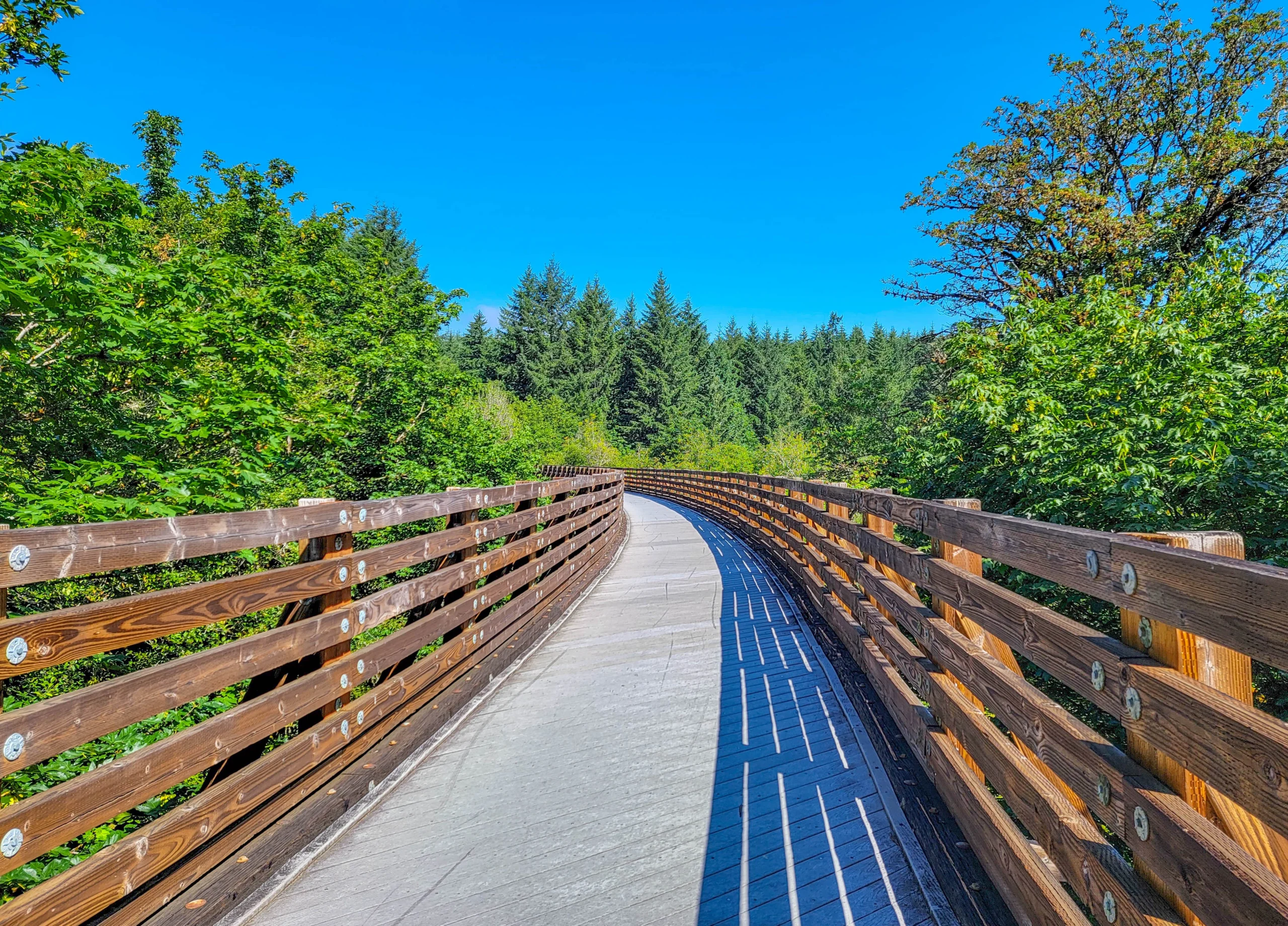
The bridges are the reason to ride this trail rather than read about it. There are 13 of them, and the big one is the Buxton Trestle — 733 feet (223 m) long and 80 feet (24 m) above Mendenhall Creek, open to walkers and cyclists. Riders on horseback take a ground-level bypass across Mendenhall Creek instead.
Crossing it on a bike, with the creek that far below and nothing but rail on either side, is a different sensation from riding a paved path. The decking can be uneven and slick — the state says so, and it’s worth slowing for.
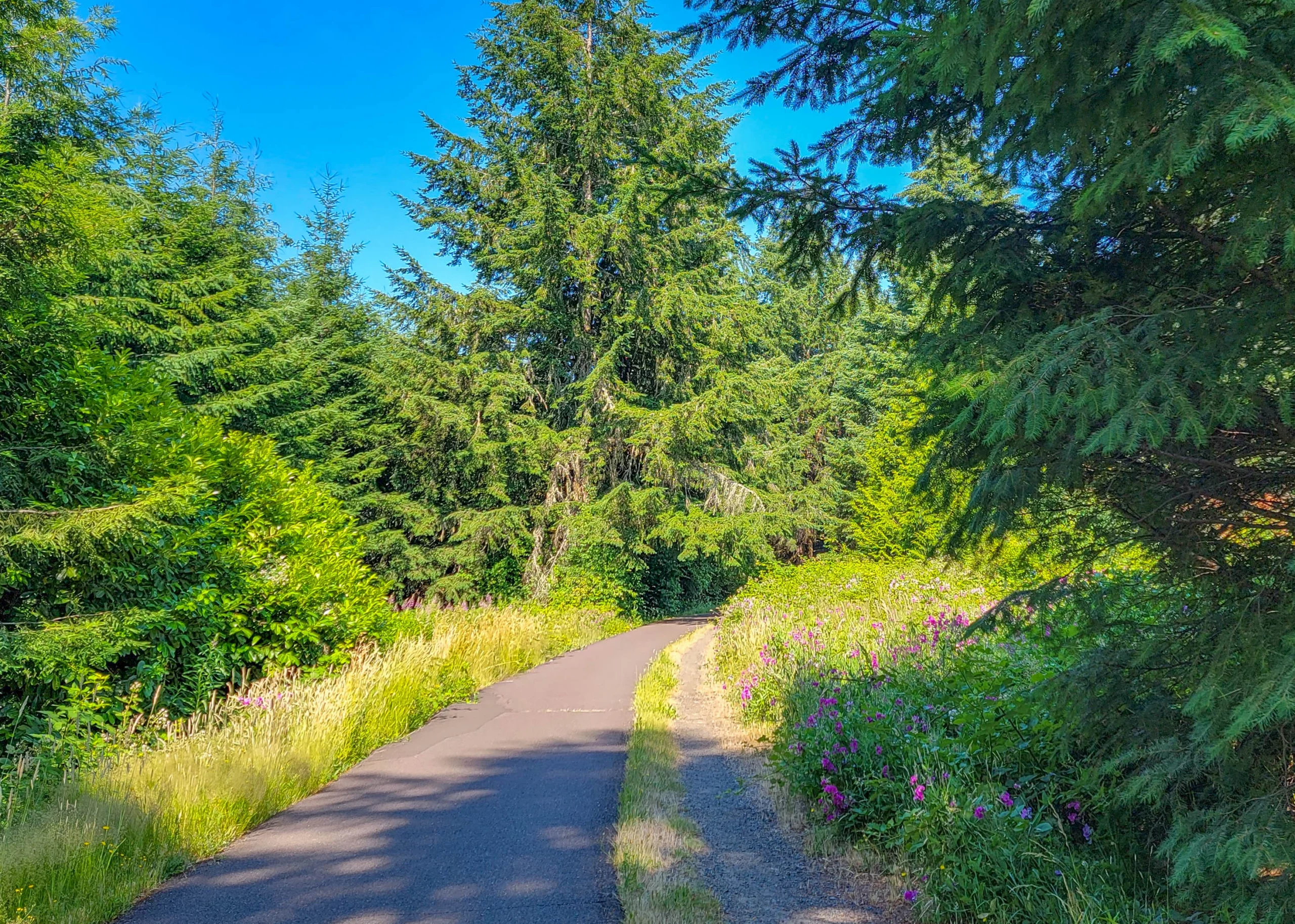
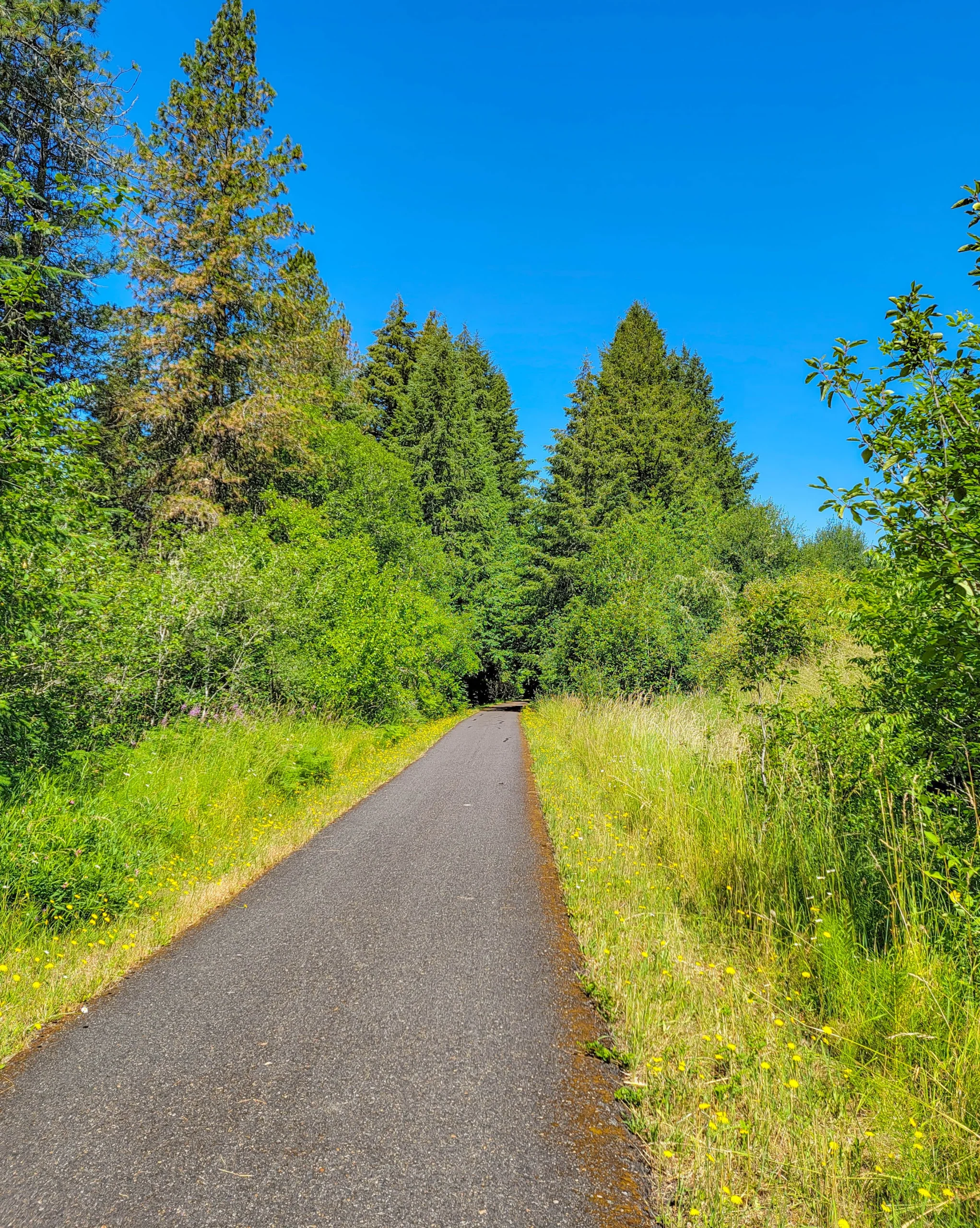
The verges do a lot of the work here. In early July the edges were full of foxglove, daisies, and dandelion, and the contrast between the mown strip and the wall of forest behind it is most of what you look at for 21 miles.
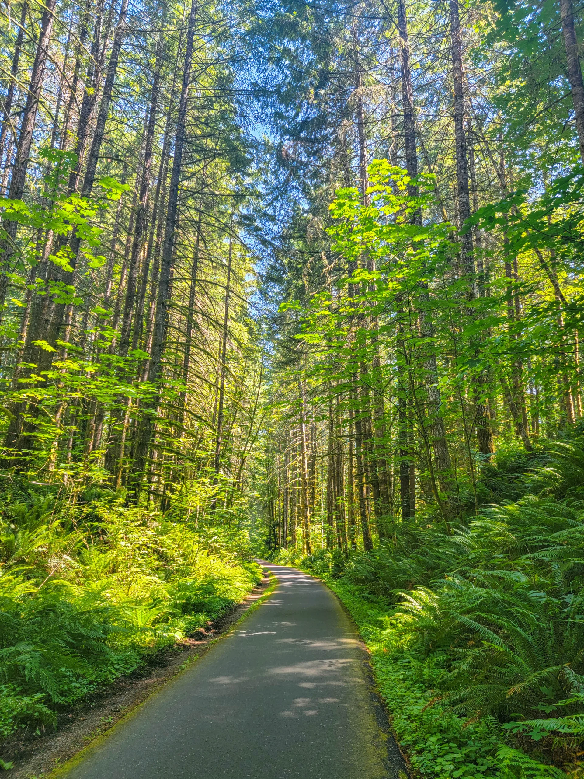
The northern end drops into deep sword-fern forest, and it’s the prettiest stretch of the ride.
L.L. “Stub” Stewart State Park
The trail runs through L.L. “Stub” Stewart State Park, a 1,700-acre (688 ha) full-service state park with a campground, mountain bike trails, and a disc golf course.
If you want to ride the trail over two days rather than one, this is where you’d sleep — it sits close to the middle, and it turns a long out-and-back into two comfortable halves.
Planning the Ride
The one-way problem is the real planning question. Twenty-one miles each way is 42 miles round trip, and the return leg puts the Tophill climb in front of you a second time.
Three ways to handle it:
- Shuttle. Leave a car at Vernonia and ride one way, which is the most popular option and lets you take the net descent north.
- Out and back on a section. The southern half from Banks to Buxton is the gentlest, and the northern half from Beaver Creek into Vernonia is the prettiest.
- Ride the whole thing both ways and accept that you’ll do the Tophill bypass twice.
Five trailheads means you can start or stop at several points, and all of them have parking and restrooms.
If the Banks lot is full, the state has an arrangement for overflow parking at Five Star Builders on NW Main Street across the road — weekdays from 5 p.m. until dusk, and weekends and state holidays from 7 a.m. until dusk.
Photography Notes
- The light through the canopy is the subject, and it’s better in the first two hours than at midday when it goes contrasty.
- Shoot the verges. Wildflowers against dark forest is the frame this trail keeps offering, and it changes every few hundred yards.
- The trestles want a wide lens and a low angle to show the drop.
- The open farmland section is the only place with distance, so it’s where to put a long view in the sequence.
- Bright summer sun on pavement blows out easily. Overcast or early is kinder.
Know Before You Go
- It isn’t flat. Plan for over 1,000 feet of climbing across the full 21 miles.
- The Tophill bypass is the hard part — steep switchbacks around a trestle the trail can’t use.
- You need a day-use parking permit. One-day permits are sold at the trailheads.
- You’re in cougar, bear, and coyote country. The trailhead signs say so plainly.
- Cell service is limited through the middle sections. Tell someone your plan.
- No camping on the trail and no overnight parking; Stub Stewart State Park is the option.
- Horses share the trail, on their own gravel path where one exists. Slow down, announce yourself, and pass wide.
- Bridge decking gets slick. Approach and cross with care.
- Closing hours shift four times a year, from 9 p.m. in high summer down to 5 p.m. in winter.
- E-bikes are allowed, which is not true of every Oregon trail.
- Don’t bring outside firewood. Washington County is under a permanent quarantine for ash, olive, and white fringe tree material because of the emerald ash borer.
Is It Worth It?
Yes, and it’s on our top 10 list of our favorite rails-to-trails.
You get 21 paved miles with almost no road crossings, two historic timber trestles, farm country and deep Coast Range forest in the same ride, and a state park campground in the middle. For a trail 30 miles from a major city, it’s remarkably quiet.
The honest caveat is the one nobody prints: it climbs. If you’re planning around the word “flat,” you’ll have a harder day than you booked. Ride it north with a shuttle, or pick a half, and it’s a comfortable few hours.
Do the northern section if you only have time for one. The forest is better and the descent into Vernonia is the reward the whole trail is building toward.
For maps, trailhead details, and current conditions, visit the Oregon State Parks page for the Banks-Vernonia Trail.

0 Comments