
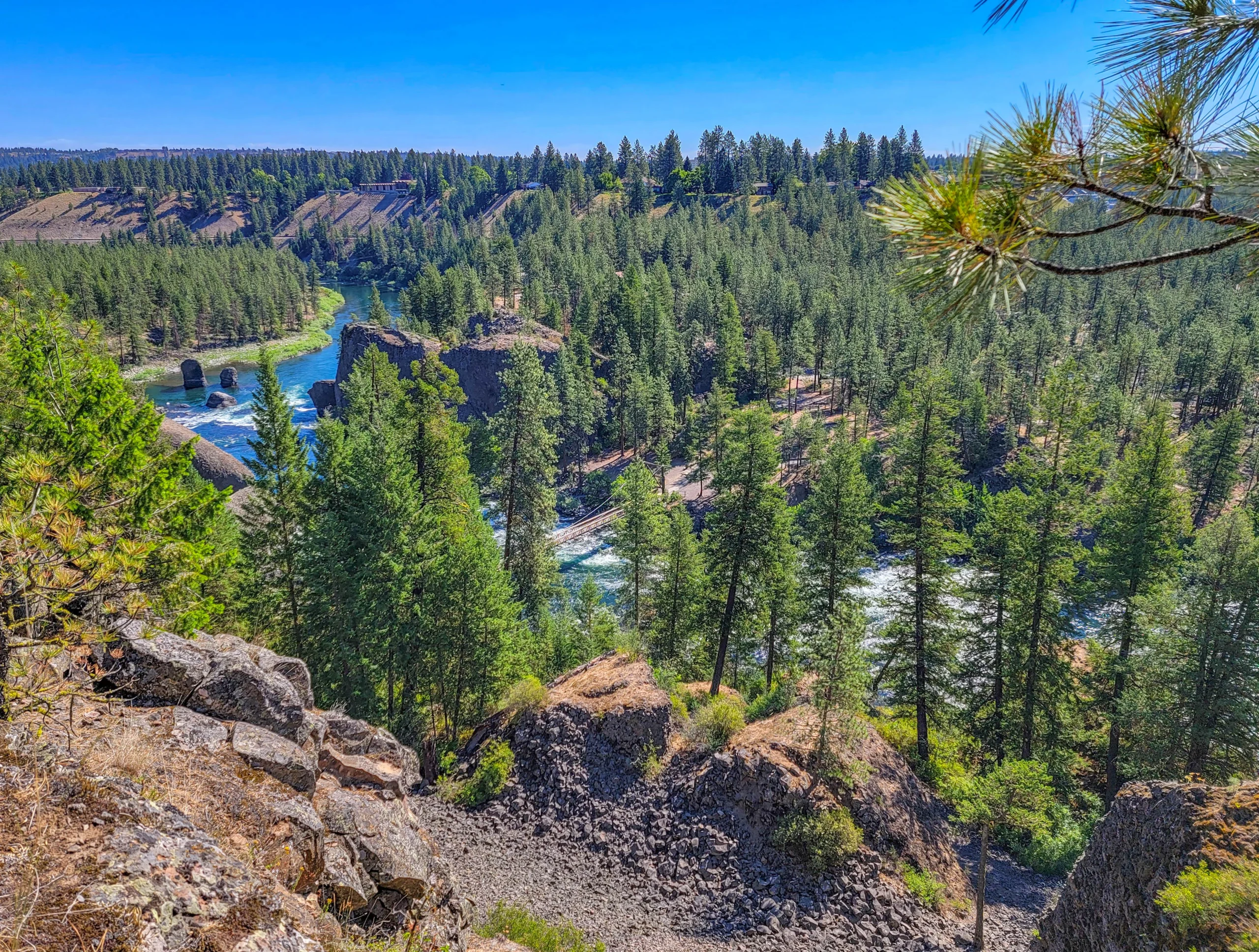

The Spokane River Centennial Trail is a 40-mile (64 km) paved, non-motorized trail running through eastern Washington from Nine Mile Recreation Area on Lake Spokane, through Riverside State Park and downtown Spokane, east through Spokane Valley to the Idaho border. It’s managed by Washington State Parks as a 526-acre linear state park, and it’s a designated National Recreation Trail.
Cross the state line and it keeps going. The North Idaho Centennial Trail carries on another 24 miles (39 km) through Post Falls to Coeur d’Alene, which makes the combined route 63 miles (101 km) across two states — one of the better long paved rides in the Northwest.
The trail was built between 1989 and 1991 to mark the centennial of Washington statehood, funded by a $7.2 million federal appropriation matched with local money. Parts of it run on the abandoned corridors of the Spokane & Inland Empire Railroad and the Great Northern Railway, and Riverfront Park in the middle of downtown sits on what was once the railroad’s switching yard.
We rode the trail over two days in late June — the eastern half one day, then downtown west to Nine Mile Falls the next. They’re different enough that it’s worth deciding which one you want to ride.
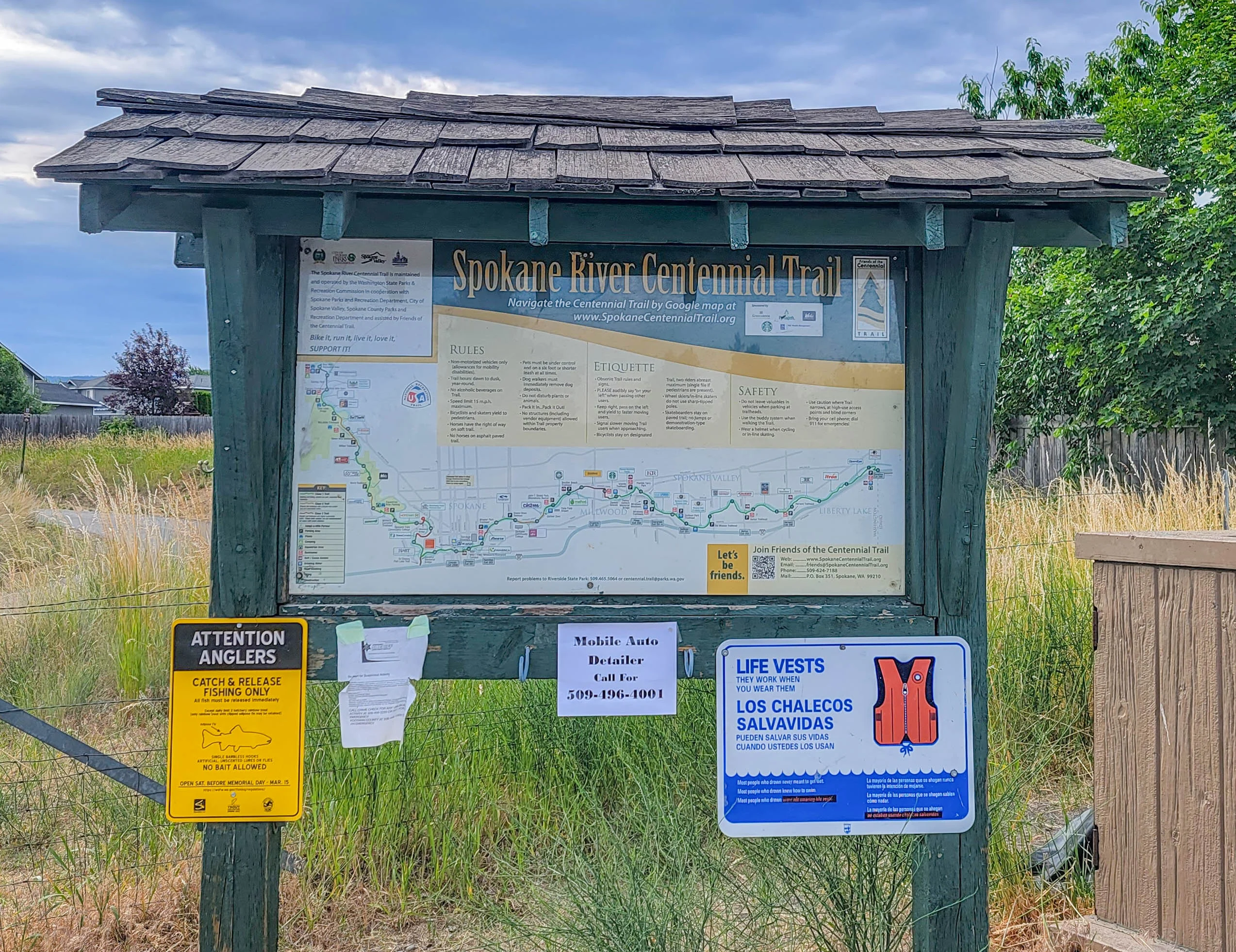
Trail Facts
- Length: 40 miles (64 km) in Washington; 63 miles (101 km) including the Idaho section
- Surface: Fully paved. About 37 miles are Class 1 trail, fully separated from vehicle traffic.
- Endpoints: Nine Mile Recreation Area (west) to the Idaho state line (east)
- Hours: 6:30 a.m. to dusk, year round
- Managed by: Washington State Parks, c/o Riverside State Park — (509) 465-5064
- Use: Biking, walking, running, inline skating, horseback riding
- Dogs: Allowed on leash
- Fires: Not permitted
- Day-use only — no camping on the trail itself
You Need a Discover Pass
This is the single most important thing to know before you go, and most write-ups leave it out.
The Centennial Trail is a Washington State Park, and parking at state park trailheads requires a Discover Pass:
- Annual pass: $45
- One-day pass: $10
You can buy one online, at many retailers, or at self-pay stations at the larger trailheads. Enforcement is real — the parking lots at Riverside State Park access points get checked.
The workaround: several trailheads sit on city or county land rather than state park land, and those don’t require the pass. Downtown Spokane and Riverfront Park access is free. If you’re only riding the urban middle section, you may not need one at all. If you’re heading into Riverside State Park — which is where the best scenery is — buy the pass.
Choosing a Section
Forty miles one way is a lot. Most people ride a piece, and the two halves are genuinely different experiences.
The Western Section — Downtown Spokane to Nine Mile Falls
Roughly 17 miles (27 km) one way. This is the scenic half and the one I’d pick if you only ride once.
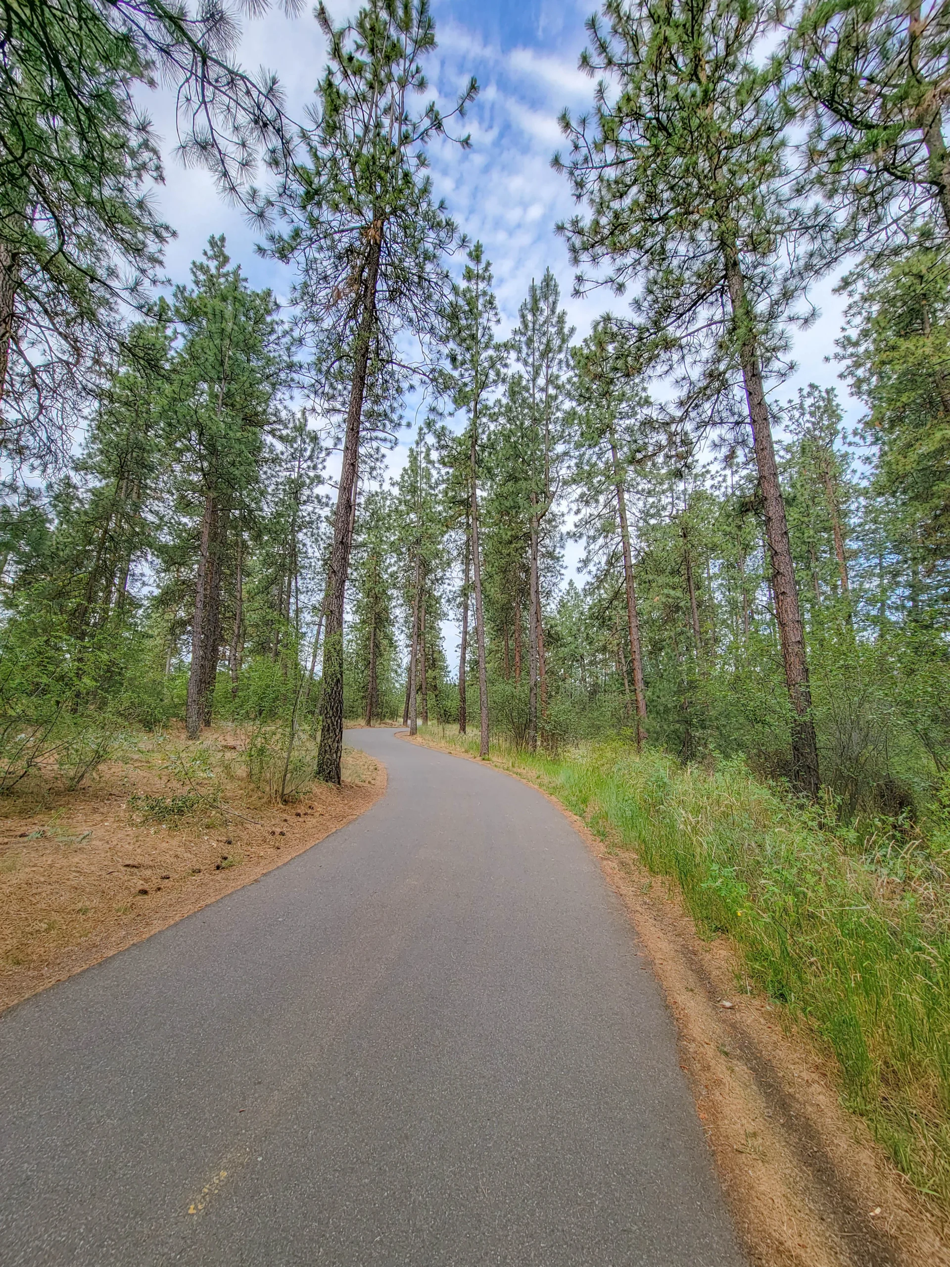
The trail leaves downtown, climbs away from the river, and works through the ponderosa pine and basalt country of Riverside State Park. It’s the hillier end — the western side has most of the climbing on the trail — and it spends long stretches on bluffs well above the water rather than beside it.
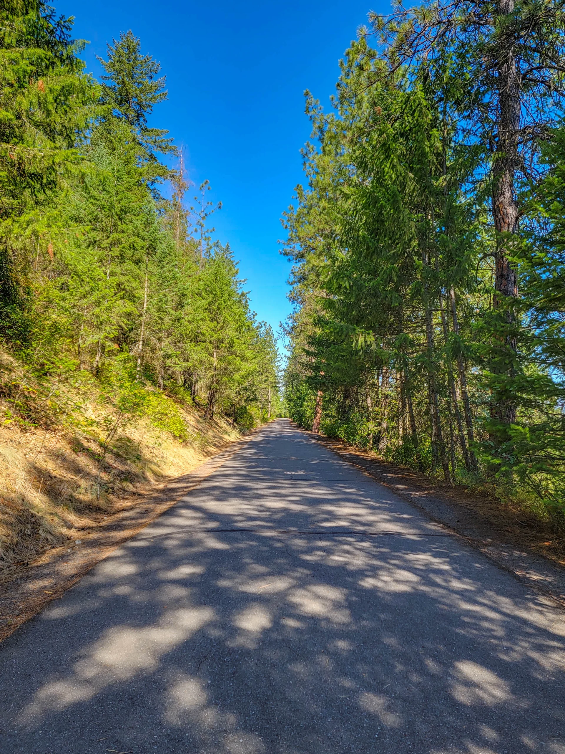
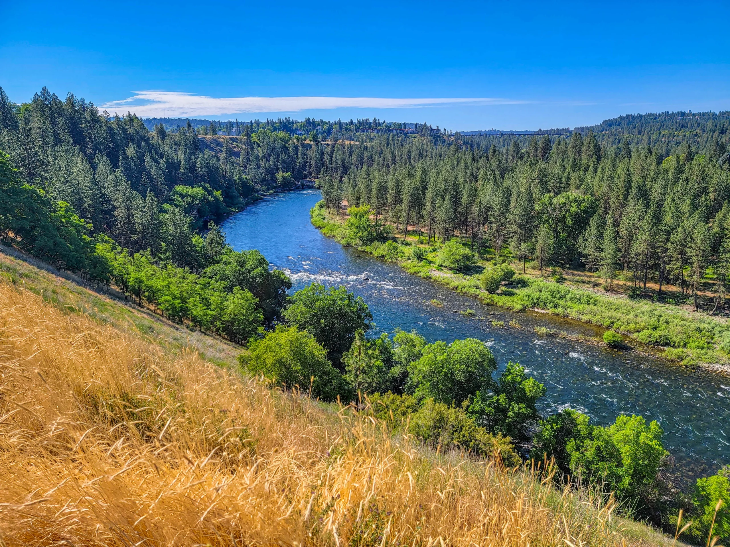
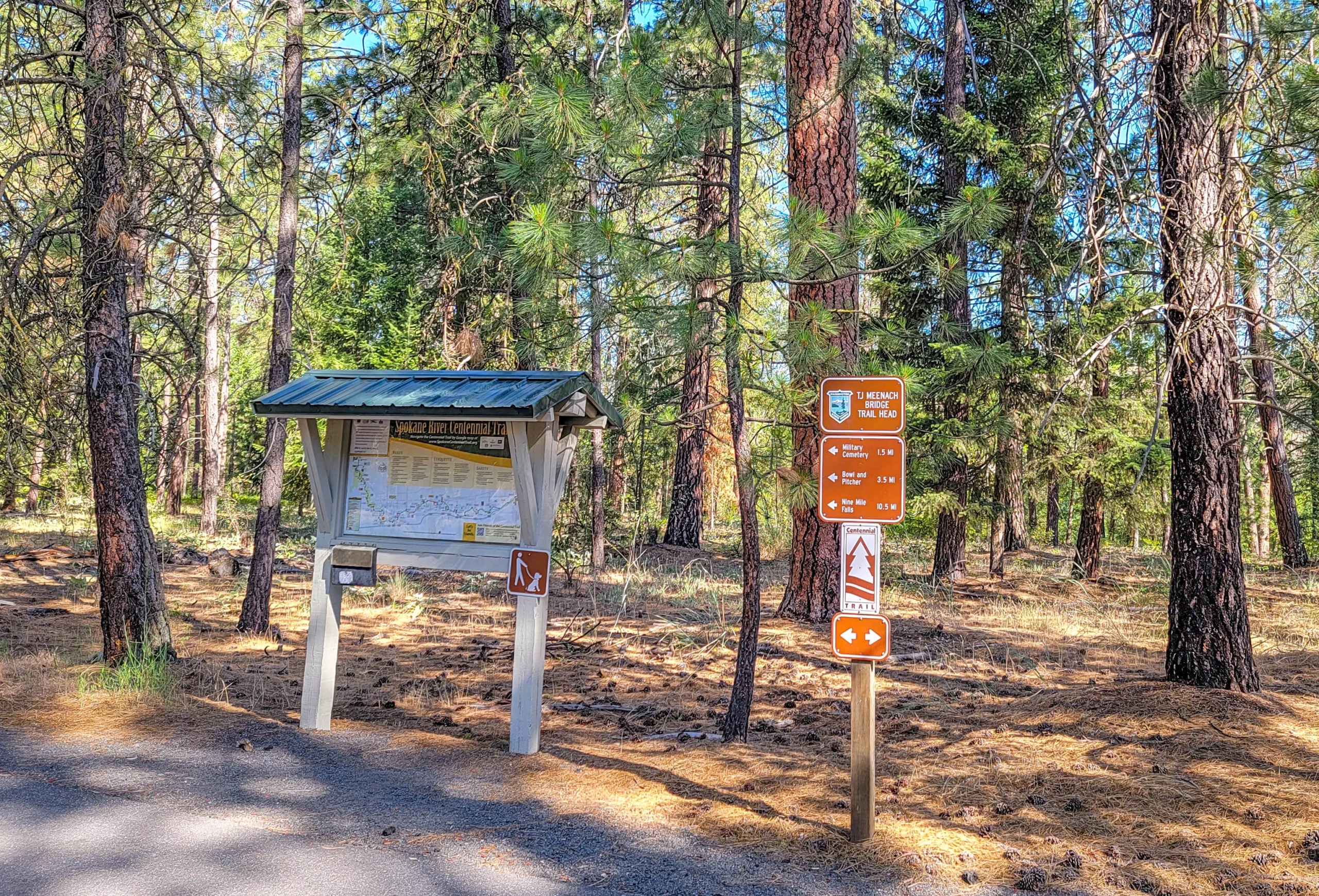
The TJ Meenach Bridge trailhead is a good starting point if you want to skip the downtown traffic and get straight into the park. From there it’s signed 3.5 miles to Bowl and Pitcher and 10.5 miles to Nine Mile Falls.
The Eastern Section — Downtown Spokane to the Idaho Line
Roughly 20 miles (32 km) one way, through Spokane Valley and Liberty Lake.
This half is flatter, runs closer to the water for longer, and is quieter than the stretch through downtown. The forest shifts from mostly ponderosa pine to oak and other deciduous trees, and eventually opens into farmland as you approach the state line.
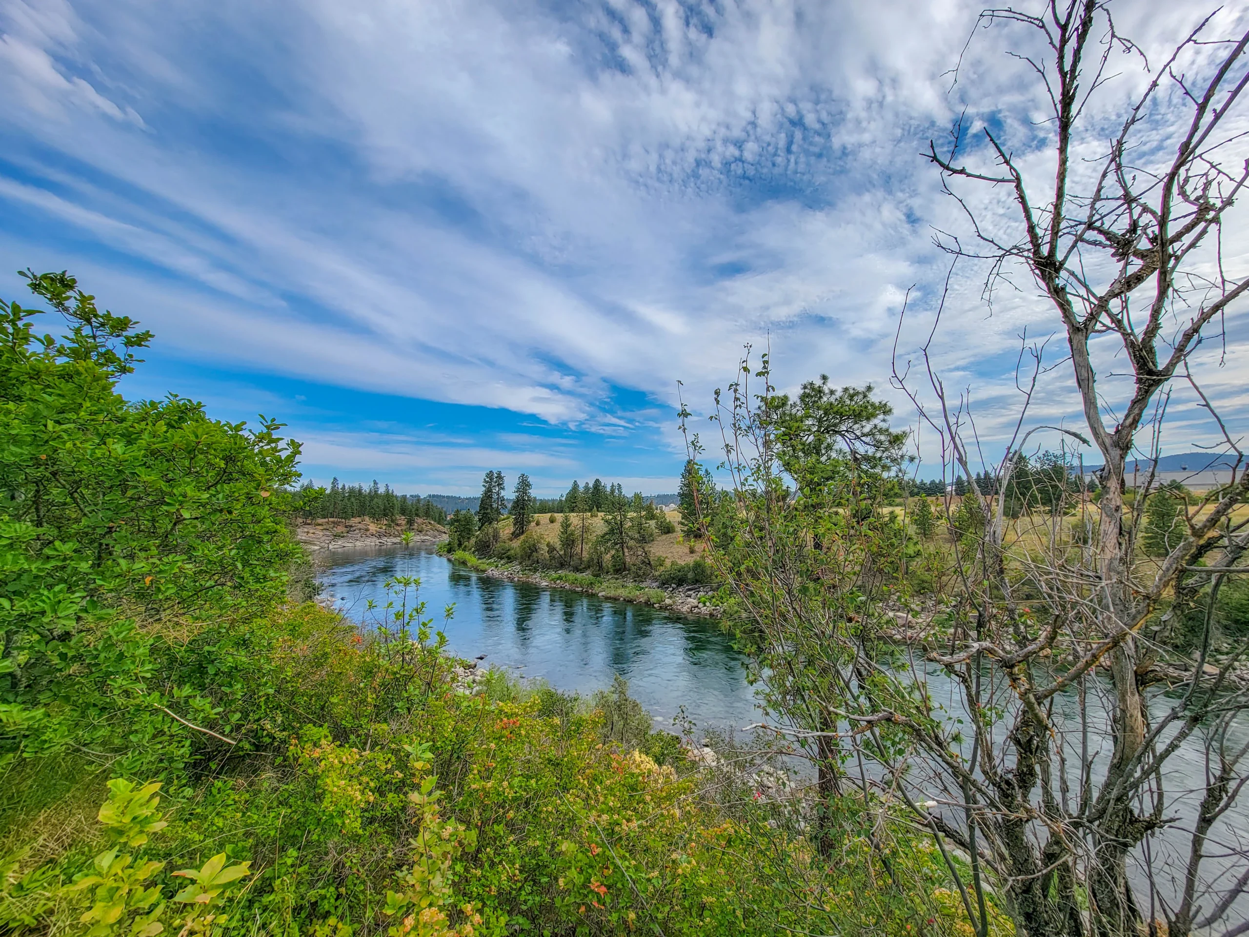
It’s the easier ride and the better choice if you’re bringing kids or want to link into the Idaho section and keep going toward Coeur d’Alene.
The Best Stops Along the Trail
(1) Riverfront Park – Downtown Spokane
The 100-acre midpoint of the trail and the site of the 1974 World’s Fair. Before Expo ’74 it was the railroad’s switching yard — the fair was the excuse to clear the rail infrastructure off the riverbank and give the falls back to the city.
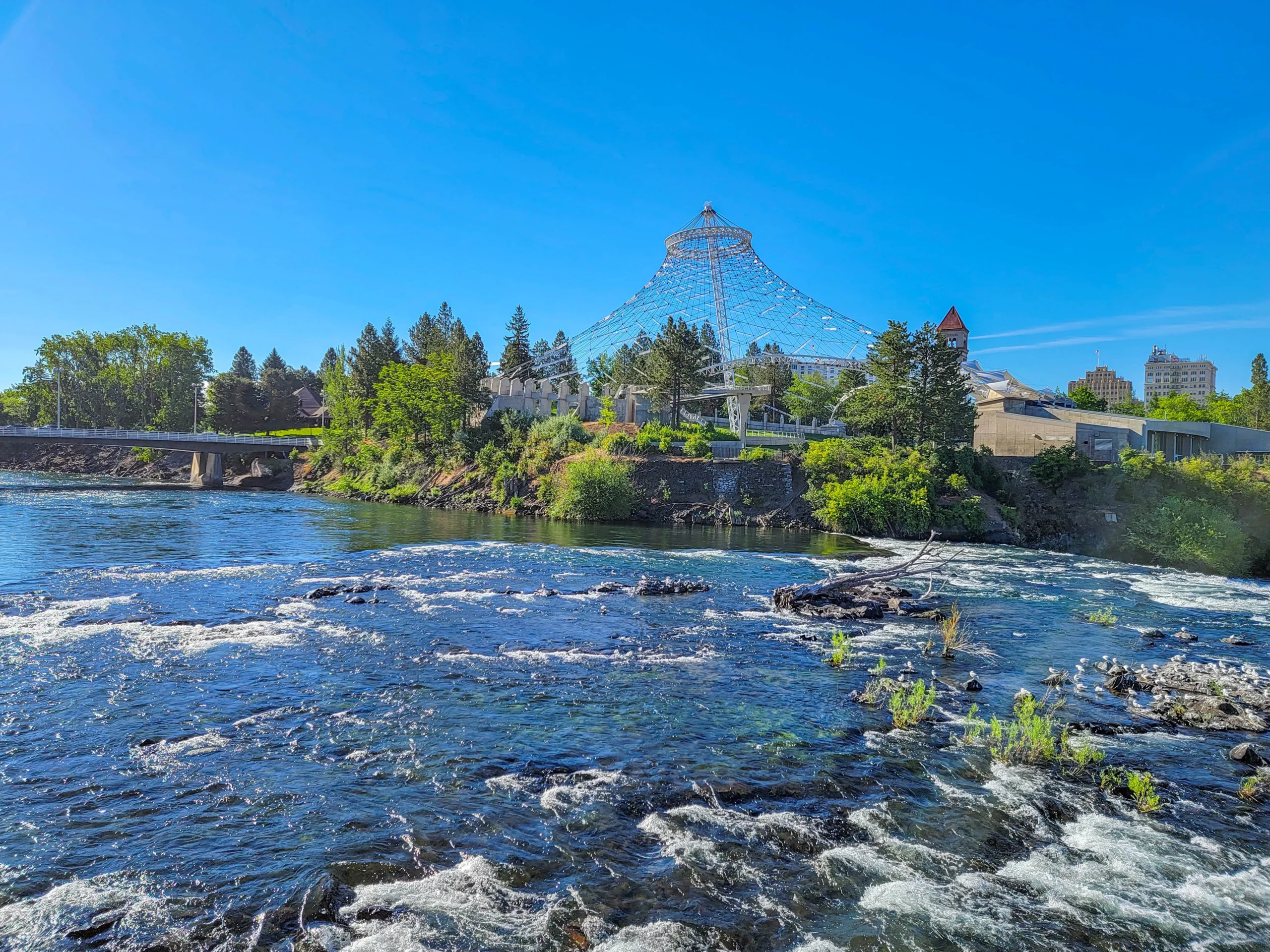
The Pavilion — the cable-net structure left over from Expo ’74 — went through a major redevelopment and reopened in September 2019. It now hosts concerts, movie nights, and events, with a nightly light display on the cable net. It was still fenced off when we rode through; it isn’t now.
The park also has the Looff carousel (a 1909 hand-carved original), the SkyRide gondola over the falls, a skate park, and playgrounds.
(2) Spokane Falls – Downtown
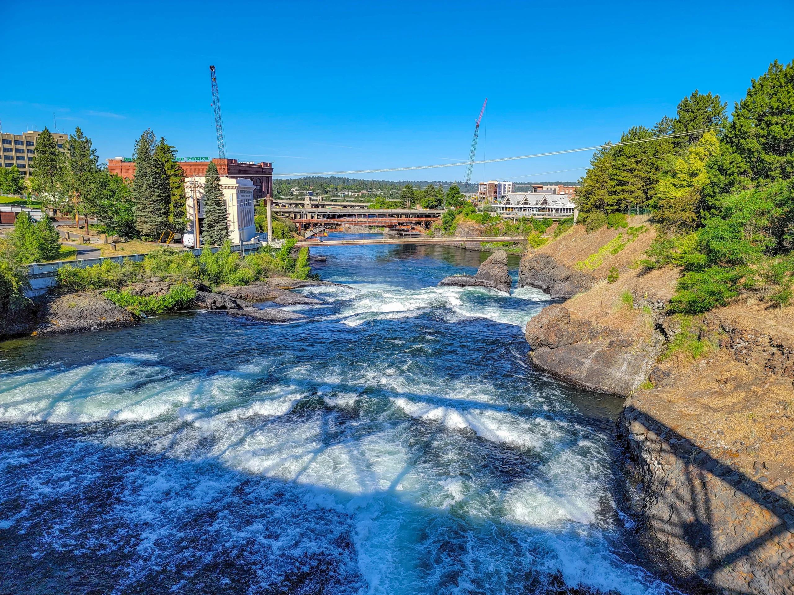
The trail runs right past the falls in the middle of the city, which is a genuinely unusual thing for an urban bike path. In late spring and early summer the volume is serious.
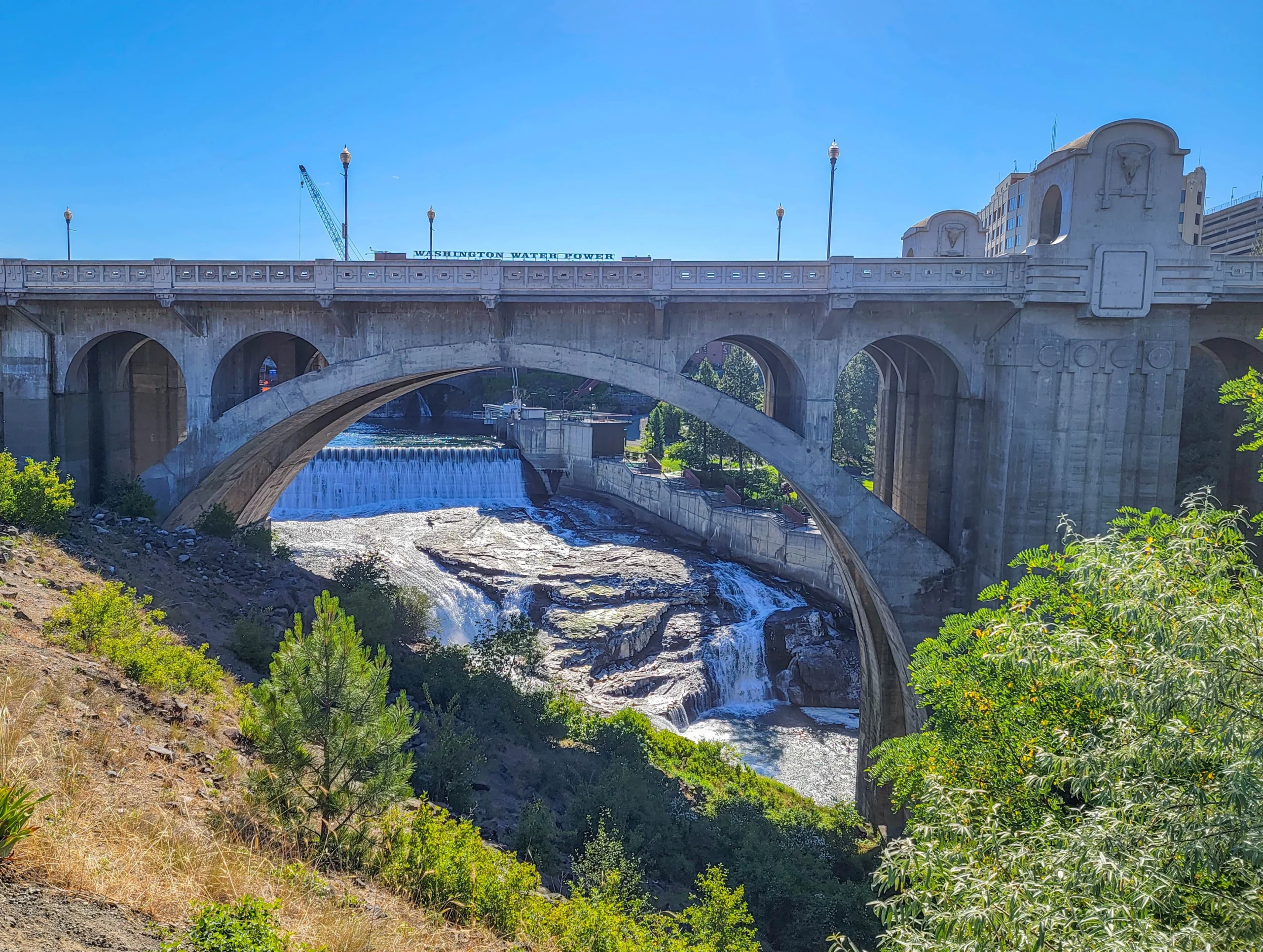
The Monroe Street Bridge, completed in 1911, arches directly over the lower falls. When it was built it was the largest concrete arch in the United States.
(3) Sandifur Bridge and the Love Locks
West of downtown, the trail crosses the river on the Sandifur Memorial Bridge, a pedestrian and cycling span whose railings have accumulated dozens of padlocks left by couples. It’s a small thing, and it’s become one of the more photographed spots on the trail.
(4) Bowl and Pitcher – Riverside State Park
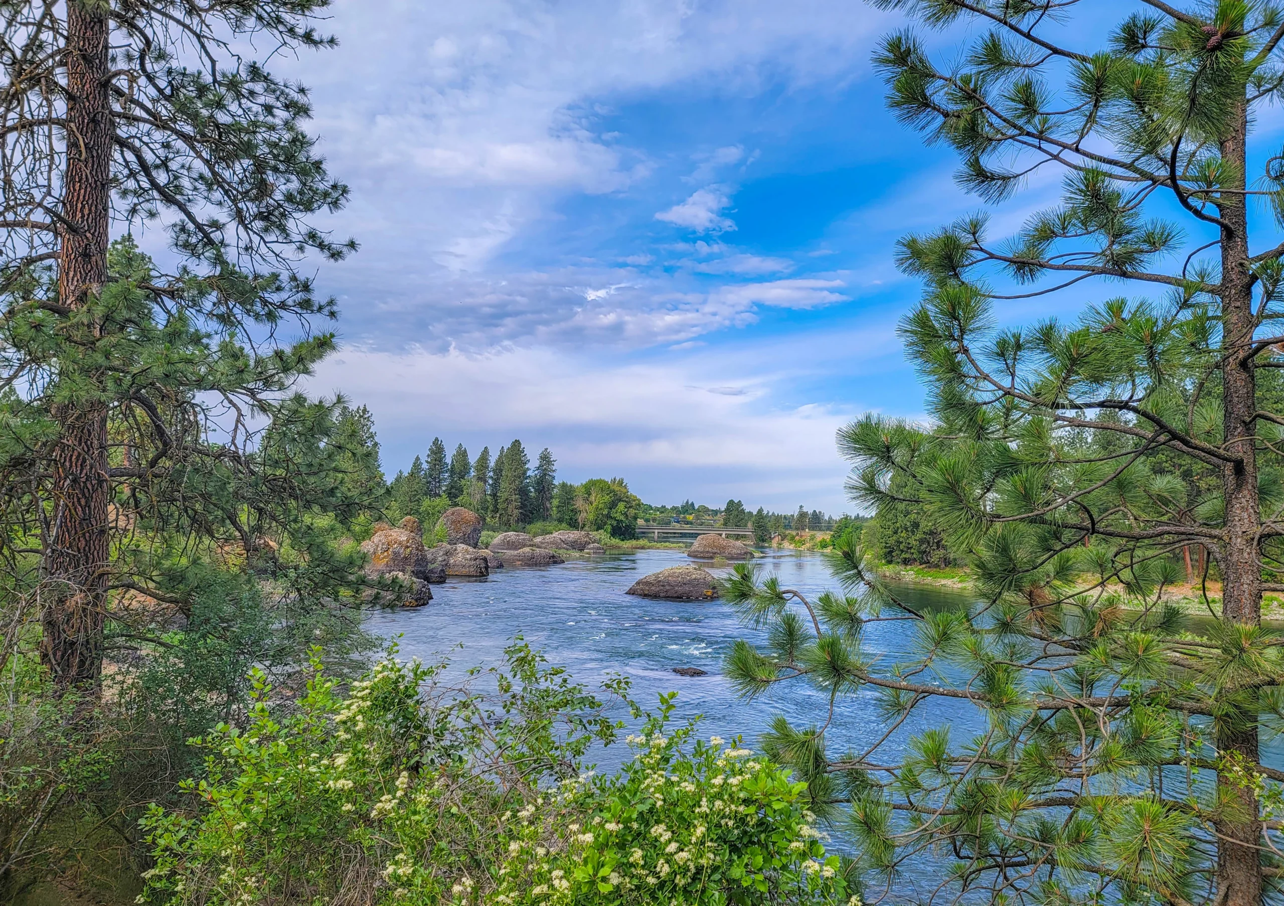
The scenic highlight of the whole trail. Enormous basalt columns and boulders stand in and beside the river, and a suspension footbridge built by the Civilian Conservation Corps in the 1930s crosses right through the middle of it.
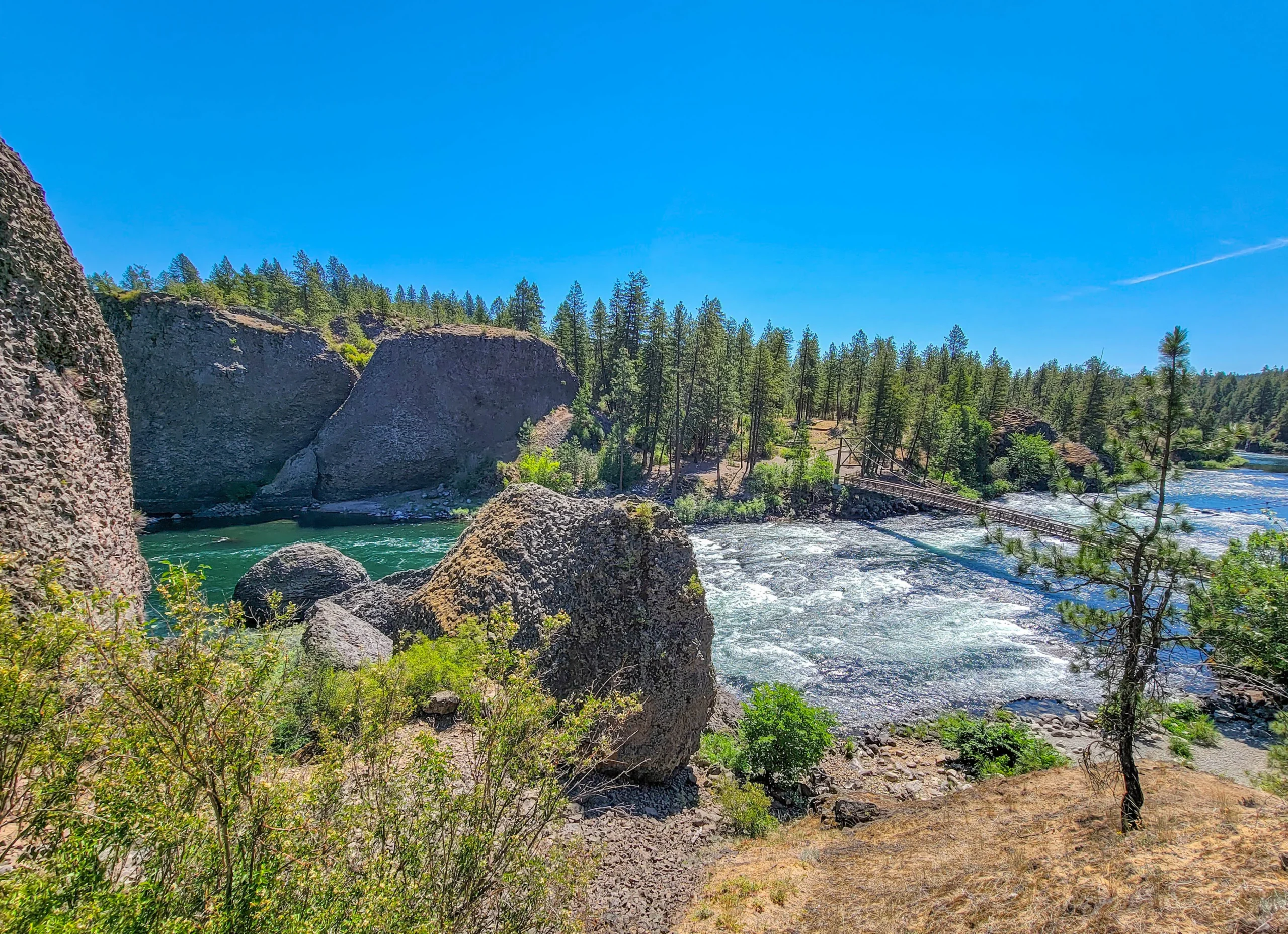
The Centennial Trail passes an overlook above it. Get off the bike and walk down — the bridge bounces, the rapids run right underneath, and it’s the one stop nobody should skip.
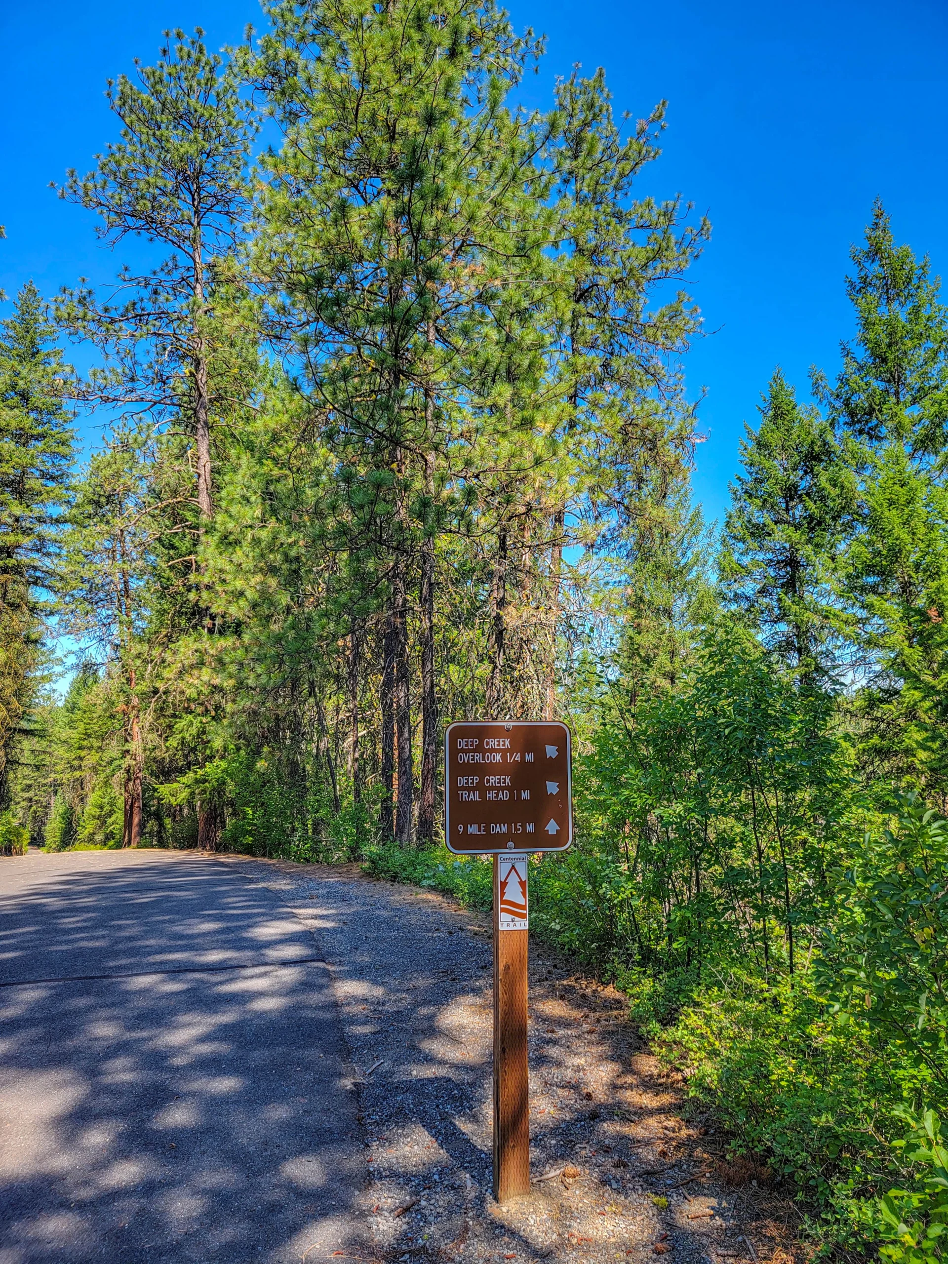
(5) Deep Creek Overlook
Further west, signed a quarter mile off the trail. Deep Creek is a side canyon cut into the basalt, and the overlook gives you the drop into it. From here it’s 1.5 miles to Nine Mile Dam and the western terminus.
(6) Riverside State Park Singletrack
The Centennial Trail runs through Riverside State Park, which holds more than 70 miles of wooded singletrack. If you brought a mountain bike rather than a road or gravel bike, the paved trail is a way to link between trailheads rather than the destination itself.
Riding Notes
- The western half has the climbing. It’s not brutal, but don’t assume “paved rail trail” means flat. The eastern half is much closer to level.
- The downtown section is the busiest. Expect pedestrians, dogs, and slow traffic through Riverfront Park. Both ends are quieter.
- Mile markers run west to east, with downtown Spokane around mile 20 and Nine Mile Falls at roughly mile 37. They’re useful for planning an out-and-back.
- Trail etiquette is posted and worth following — announce yourself when passing, keep right, and give horses a wide berth. Horses have right of way on soft trail.
- No alcohol on the trail, and the speed limit for bikes and skaters is 15 mph.
- Shuttle options are limited. Most people ride out and back. If you want one-way, arrange a car at each end.
Photography Notes
- Bowl and Pitcher is the shot. Best from the overlook above with the swinging bridge in frame for scale.
- Morning light works better downtown — the falls face roughly north and the buildings shadow the gorge later in the day.
- The eastern section photographs flatter. It’s a nicer ride than it is a photo subject.
- Include the trail itself. Paved curves through ponderosa pine are what this trail actually looks like, and they read better than a river shot with no context.
Know Before You Go
- Buy the Discover Pass before you park at a state park trailhead. $10 for a day.
- Summer gets hot. Eastern Washington is high desert; the trail is exposed in long stretches and there’s little water. Carry more than you’d expect for a paved trail.
- Winter changes the trail. Sections inside Riverside State Park are groomed for cross-country skiing and fat tire biking. Check current grooming with the City of Spokane before planning a winter trip.
- The Idaho section is free. The North Idaho Centennial Trail has no pass requirement, so an eastbound ride over the state line gets simpler rather than harder.
- Restrooms and water are at the developed trailheads only. Plan around them.
Is It Worth It?
Yes, and it’s better than a 40-mile paved path through a mid-sized city has any right to be. While it’s not strictly a rails-to-trails trail, enough of it came from old railroad infrastructure that we made it #4 on our list of 10 Best Rails to Trails Bike Trails we’ve ridden.
One reason is Riverside State Park. Most urban trails give you a river and a greenbelt; this one gives you basalt canyons, Ponderosa forest, a CCC suspension bridge over whitewater, and a set of waterfalls in the middle of downtown. It’s a genuinely varied ride.
The honest caveats: the western half climbs more than the “paved trail” description suggests, the downtown stretch is crowded, and you need a Discover Pass to park at the good end. None of those were dealbreakers for us.
If you only have a few hours, start at the TJ Meenach Bridge trailhead and ride west to Bowl and Pitcher and back — about 7 miles round trip with the best scenery on the whole route.
For current conditions, trailhead locations, and the trail brochure, visit Washington State Parks’ page for the Spokane River Centennial State Park Trail, and Friends of the Centennial Trail for the interactive map.

0 Comments