
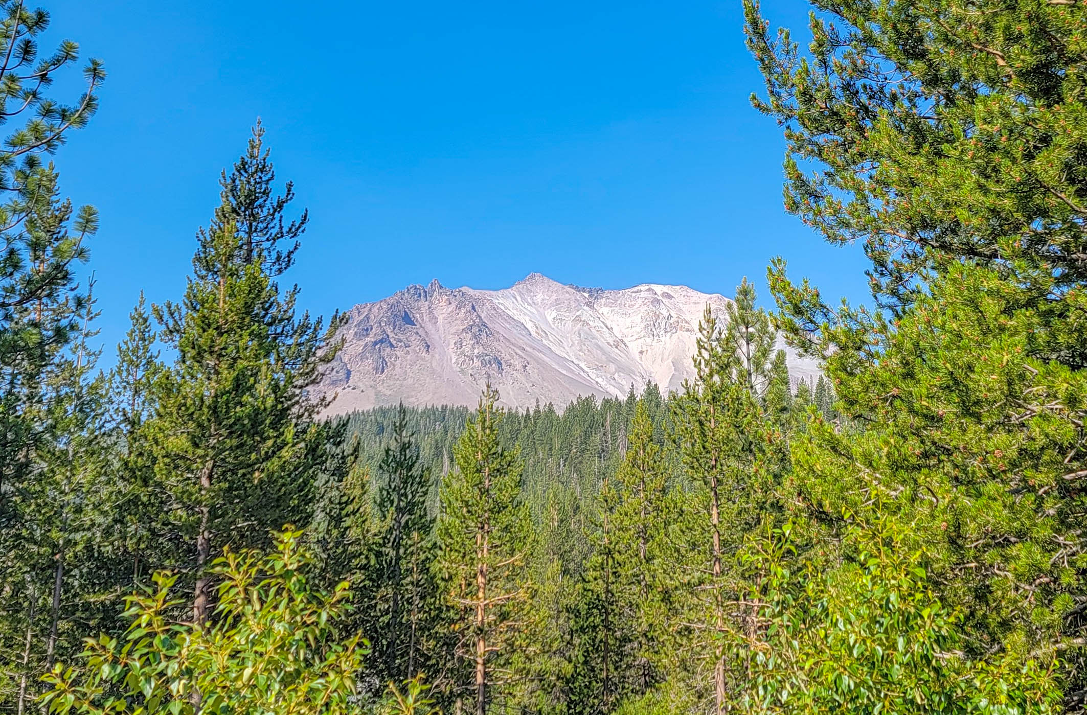

This guide covers the park and the volcanic country immediately around it, which is a deliberate choice. Some of the best things to see here — the Subway Cave lava tube, the Hat Creek Rim — sit in Lassen National Forest, not the national park. They’re managed by a different agency under different rules, and plenty of visitors plan around them without realizing they’ve crossed a boundary. Where that distinction matters, I’ve flagged it.
Lassen gets roughly a tenth of Yosemite’s visitation despite being a full national park with hydrothermal basins that rival parts of Yellowstone. We spent a couple of days here in July and came away thinking it’s the most underrated national park in California. Plan two days if you can. One long day covers the highway and a single hike.
Getting There and Getting Around
The park has five entrances, and only two of them connect to the main road:
- Southwest Entrance (Highway 89, near Mineral) — the Kohm Yah-mah-nee Visitor Center is here
- Northwest Entrance (Highway 44/89, near Manzanita Lake) — the other end of the park highway
- Butte Lake — 6 miles (9.7 km) of dirt road off Highway 44 in the northeast
- Warner Valley — reached from Chester, in the south
- Juniper Lake — dirt road from Chester, in the southeast
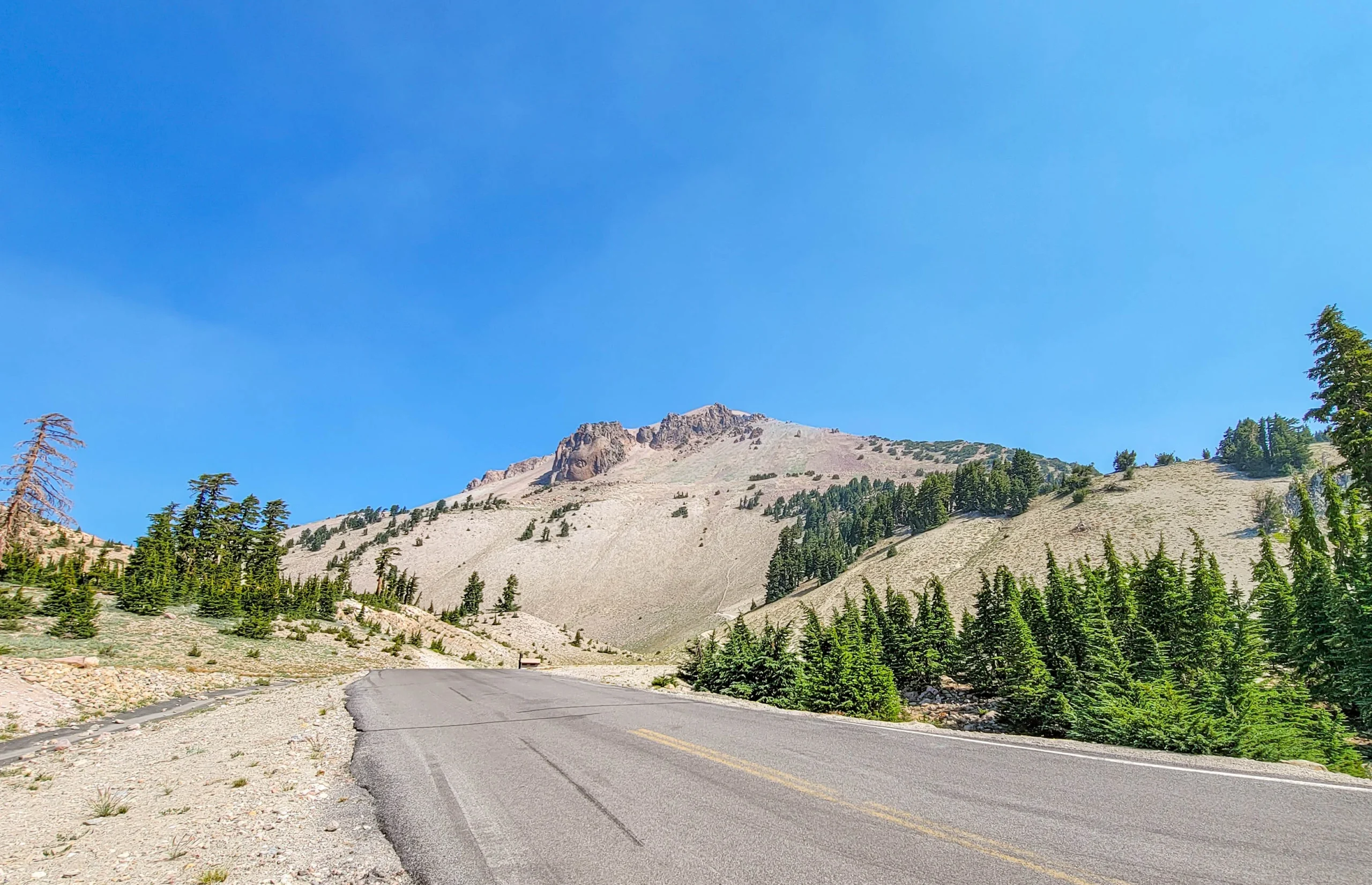
The Lassen Volcanic National Park Highway climbing below Lassen Peak
The Lassen Volcanic National Park Highway runs 30 miles (48 km) between the Southwest and Northwest entrances and is the spine of any visit. Nearly every roadside feature in this guide sits along it. It’s a genuinely good drive in its own right — climbing through forest into open volcanic country with Lassen Peak in view for much of it.
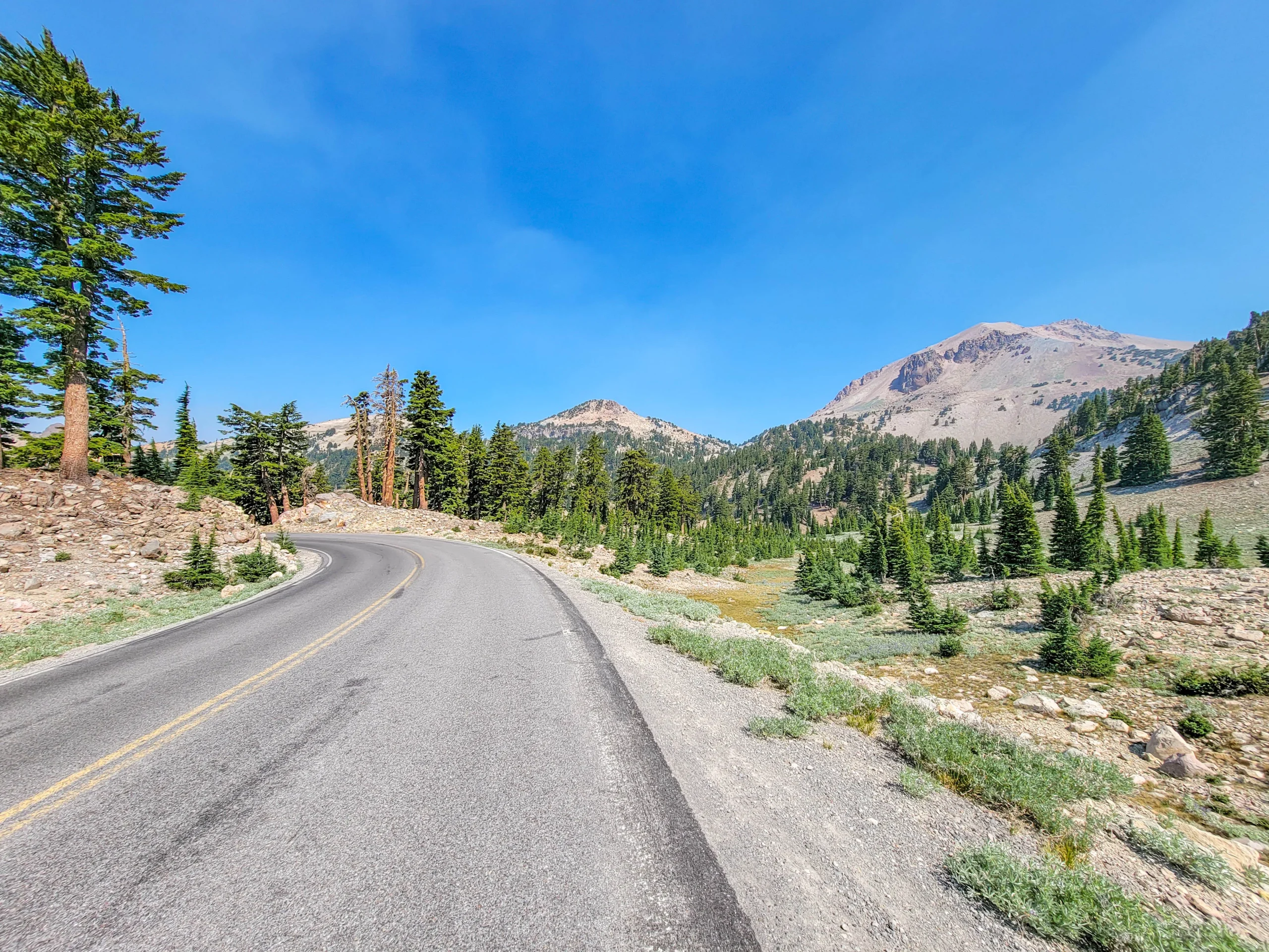
Curve on the Lassen park highway with Lassen Peak in the distance
Butte Lake, Warner Valley, and Juniper Lake are not reachable from the park highway. Each requires driving around the outside of the park on public roads. Treat any of them as a separate day, not an afternoon detour.
Fees
- Vehicle, 7 days (summer): $25
- Vehicle, 7 days (winter, Dec 1 – Apr 15): $10
- Motorcycle, 7 days: $20
- Individual on foot or bicycle, 7 days: $12
Lassen adjusted its fee structure in January 2026, so confirm current rates on the park’s fee page before you go. The America the Beautiful annual pass is accepted.
When to Go
This is the single most important planning factor at Lassen, and it surprises people constantly.
The park highway closes every winter under dozens of feet of snow and reopens sometime between late May and July, depending on snowpack. Crews spend weeks plowing. In 2026 the road opened in late May after a below-average winter — one of the earliest openings in recent memory, with an April 1 snow depth at Lake Helen of about 90 inches (7.5 ft / 2.3 m).
Even after the highway opens, the high-elevation trails don’t. Bumpass Hell was still snowed in when the road opened in 2026 and didn’t clear until late June. In heavy years it has opened as late as August.
- July through September is the reliable window for full access
- October is excellent — fewer people, good light, but facilities start closing
- Winter turns the park into a snowshoe and ski destination, with the Southwest area open year-round
Check the park’s current conditions page before you drive. Road status, trail openings, and area closures all move independently here.
Best Stops in Lassen Volcanic National Park
(1) Kohm Yah-mah-nee Visitor Center – Southwest Entrance
The park’s main visitor center, open year-round, with exhibits, a film, a bookstore, and the Lassen Cafe & Gift. It’s also the most reliable source of current trail and road information in the park. Start here if you’re entering from the south.
(2) Sulphur Works – Park Highway
The most accessible hydrothermal area in the park, and the one nobody has an excuse to skip. Boiling mudpots and steam vents sit right beside the highway with a short boardwalk and no hiking required. If Bumpass Hell is closed for snow, this is your hydrothermal fix.
(3) Bumpass Hell – Park Highway
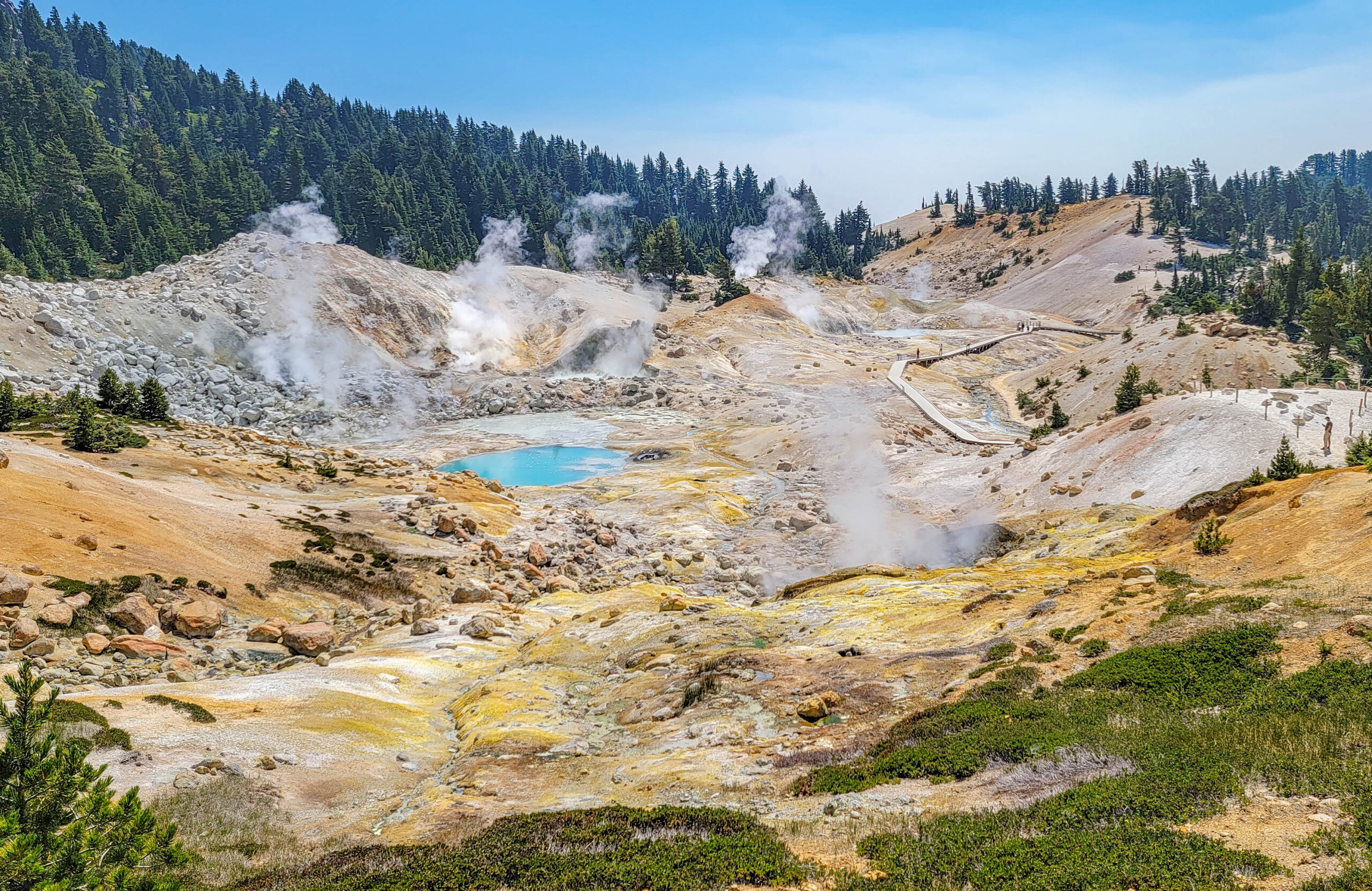
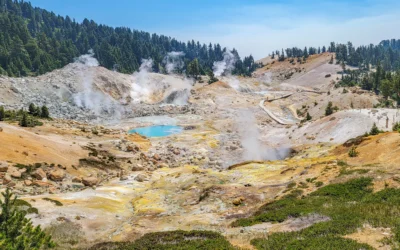
Turquoise hot pools and steaming fumaroles in the Bumpass Hell basin
The largest hydrothermal area in the park at 16 acres (6.5 ha), and the largest concentration of hydrothermal features anywhere west of Yellowstone. Boiling pools, mudpots, and Big Boiler — a fumarole measured venting steam at up to 322°F (161°C), one of the hottest in the world.
Reaching it takes a 3-mile (4.8 km) round trip hike. It’s the signature experience in the park, and of everything we did at Lassen this is the one I’d tell someone not to miss.
Read the full trail guide: Bumpass Hell Trail
(4) Lake Helen and Emerald Lake – Park Highway
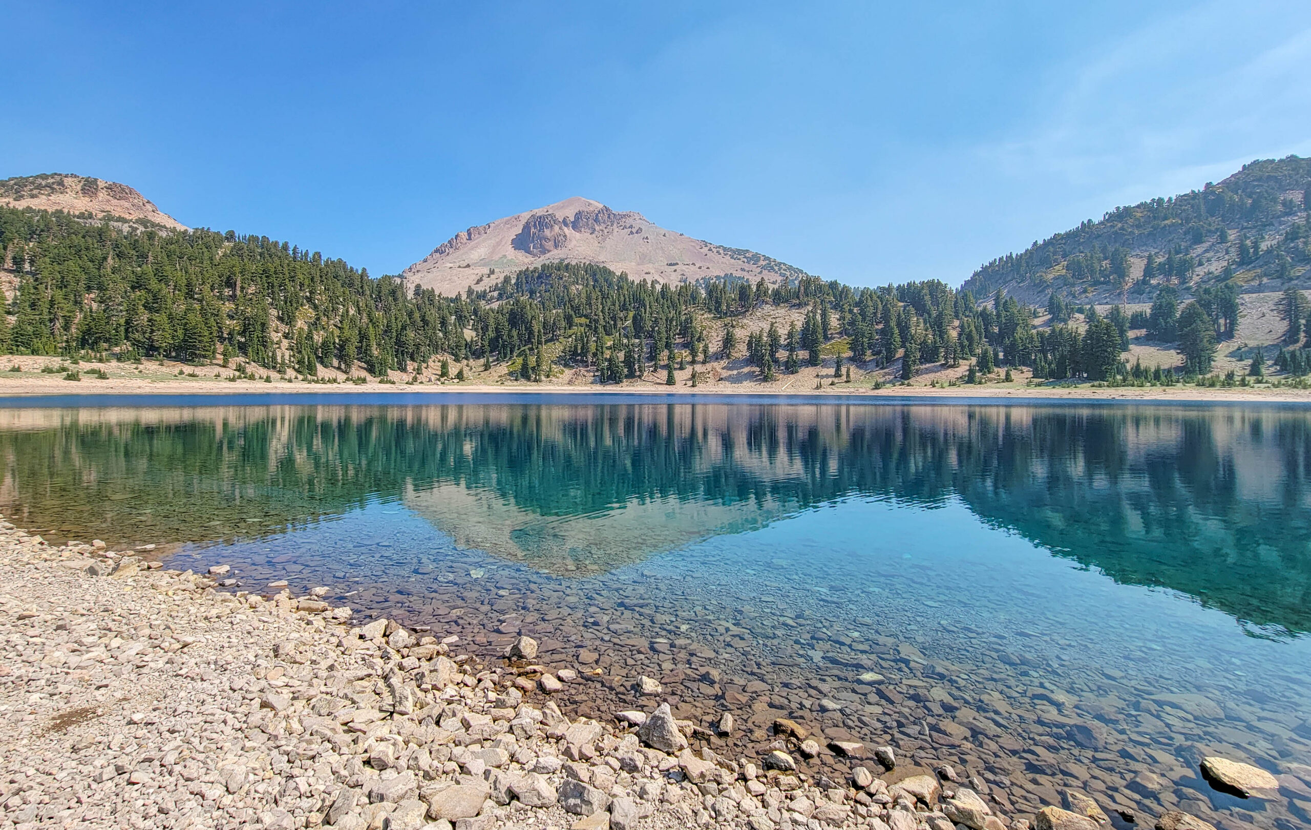
Lake Helen reflecting Lassen Peak in Lassen Volcanic National Park, California
Two roadside alpine lakes near the highway’s high point, both worth a stop. Lake Helen sits at about 8,200 feet (2,500 m) and holds snow around its edges well into summer. It’s also the park’s official snow-depth measuring point — the figure quoted every spring when the road opening is announced — which tells you something about the winters here.
The water is startlingly clear and turns deep turquoise where it drops off from the rocky shore. This is the easiest good photograph in the park: pull over, walk twenty feet, and Lassen Peak is sitting in the water in front of you.
(5) Lassen Peak Trail – Park Highway
The summit trail climbs 5 miles (8 km) round trip and about 2,000 feet (610 m) to the top of the plug dome at 10,457 feet (3,187 m). It’s exposed, steep, and there’s no water. Lassen Peak erupted from 1914 to 1917, with a major eruption on May 22, 1915 that blew a column of ash seven miles into the air and was visible from 150 miles away. That eruption is why the park exists — it was established on August 9, 1916, while the volcano was still active.
(6) Devastated Area – Park Highway
An interpretive trail through the ground stripped bare by the 1915 eruption. It’s flat, short, paved, and accessible, and the story it tells is the clearest reason to understand why this park was protected.
(6b) Kings Creek and the Meadows – Park Highway
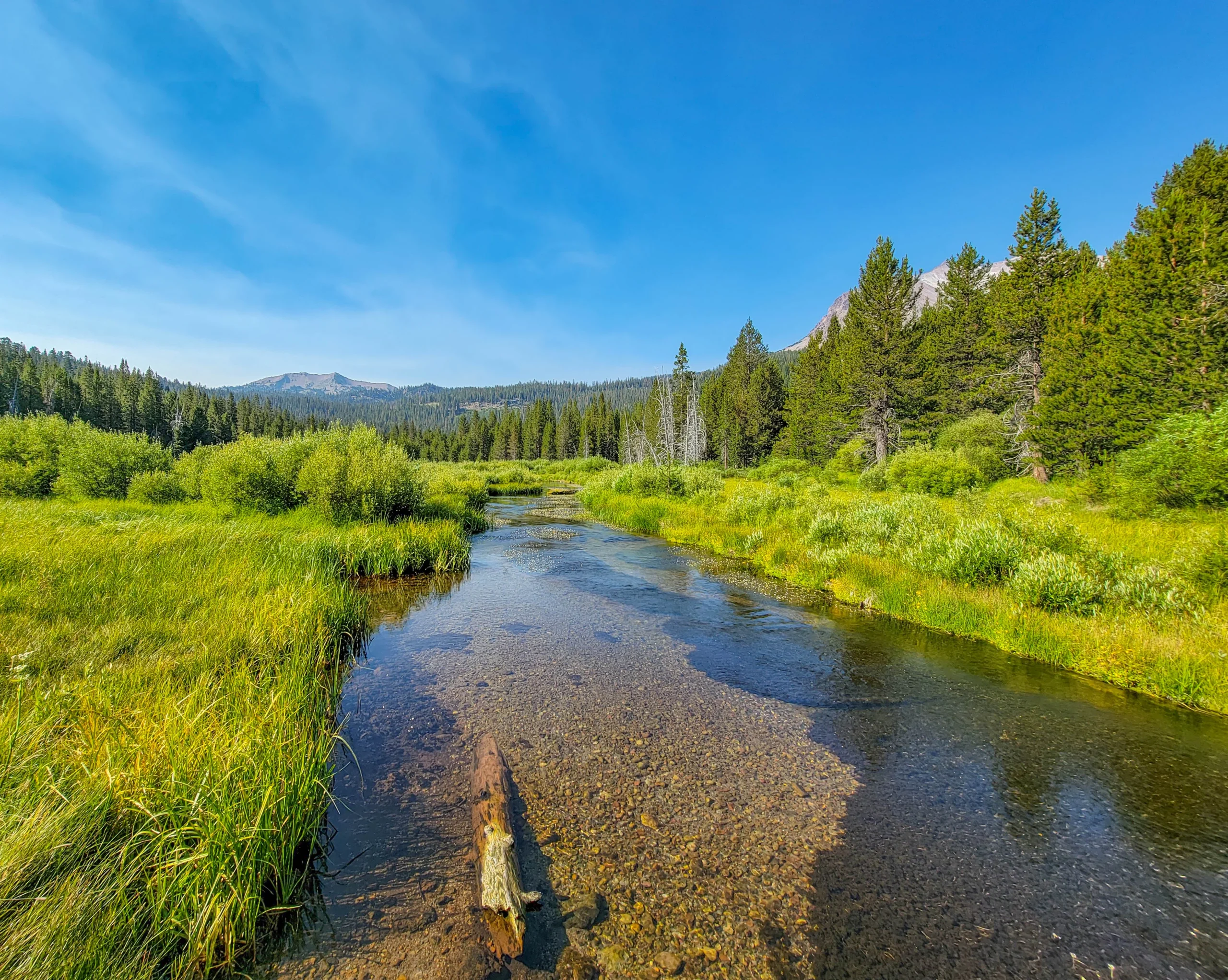
Kings Creek running through meadow below Lassen Peak, Lassen Volcanic National Park
Between the Lassen Peak trailhead and Summit Lake, the highway drops through open meadow country where Kings Creek runs clear and shallow across gravel. It’s an easy roadside stop that most people drive past on their way to something more famous, and on a still morning it’s the prettiest thing on the road.
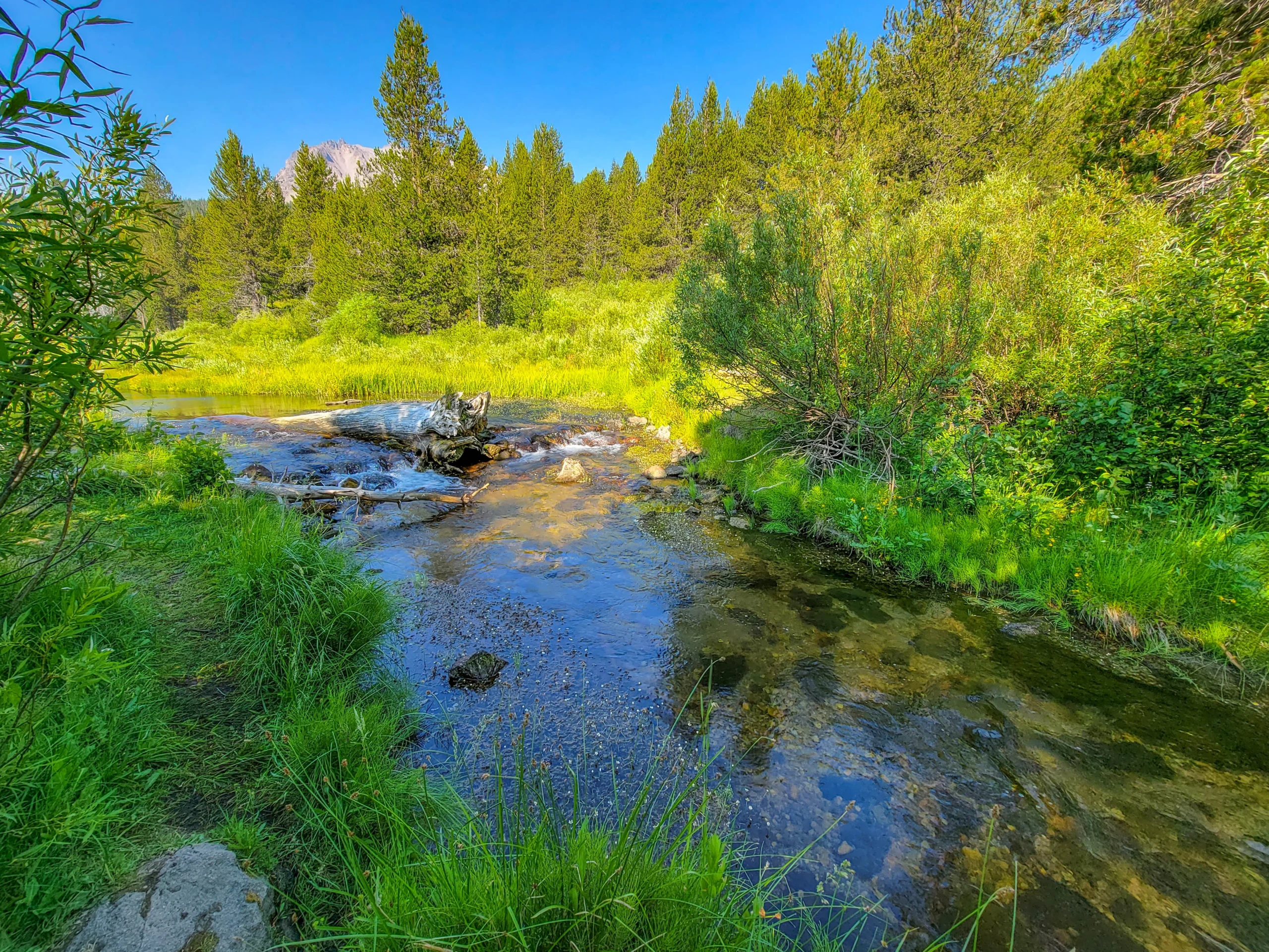
Clear shallow water of Kings Creek with Lassen Peak in the distance
Kings Creek Falls is reached from here — a 2.3-mile (3.7 km) round trip to a 30-foot (9 m) waterfall, moderate, with a steep section on the return.
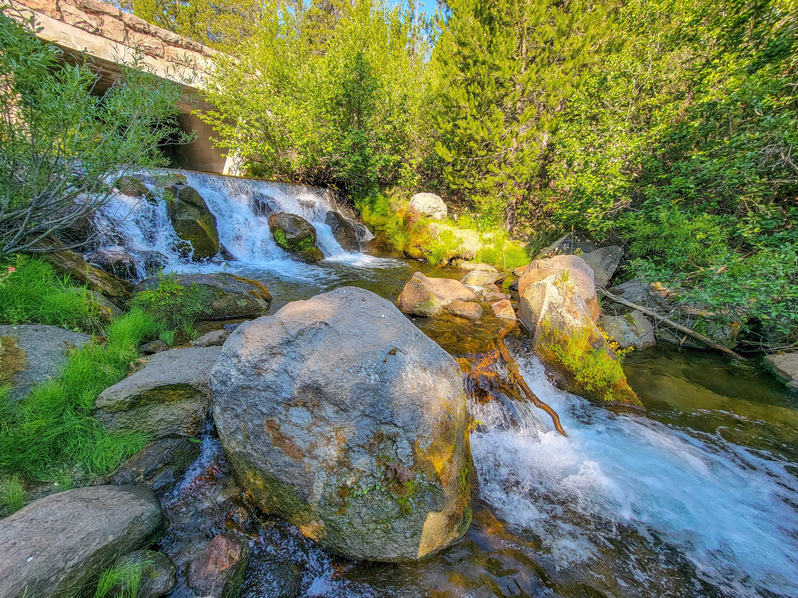
Cascade on Kings Creek running under a park highway bridge
Small cascades run under the highway bridges throughout this stretch. Worth pulling over for.
(7) Manzanita Lake – Northwest Entrance
The most developed area in the park and the best base for a multi-day visit. There’s a campground, camping cabins, a camper store, kayak and paddleboard rentals, and the Loomis Museum (seasonal). The lake reflects Lassen Peak on calm mornings and is the park’s signature photograph.
Nearby, Chaos Jumbles and Chaos Crags show where a rockfall avalanche came off the crags roughly 350 years ago and ran three miles across the valley floor.
(8) Cinder Cone and the Painted Dunes – Butte Lake Area
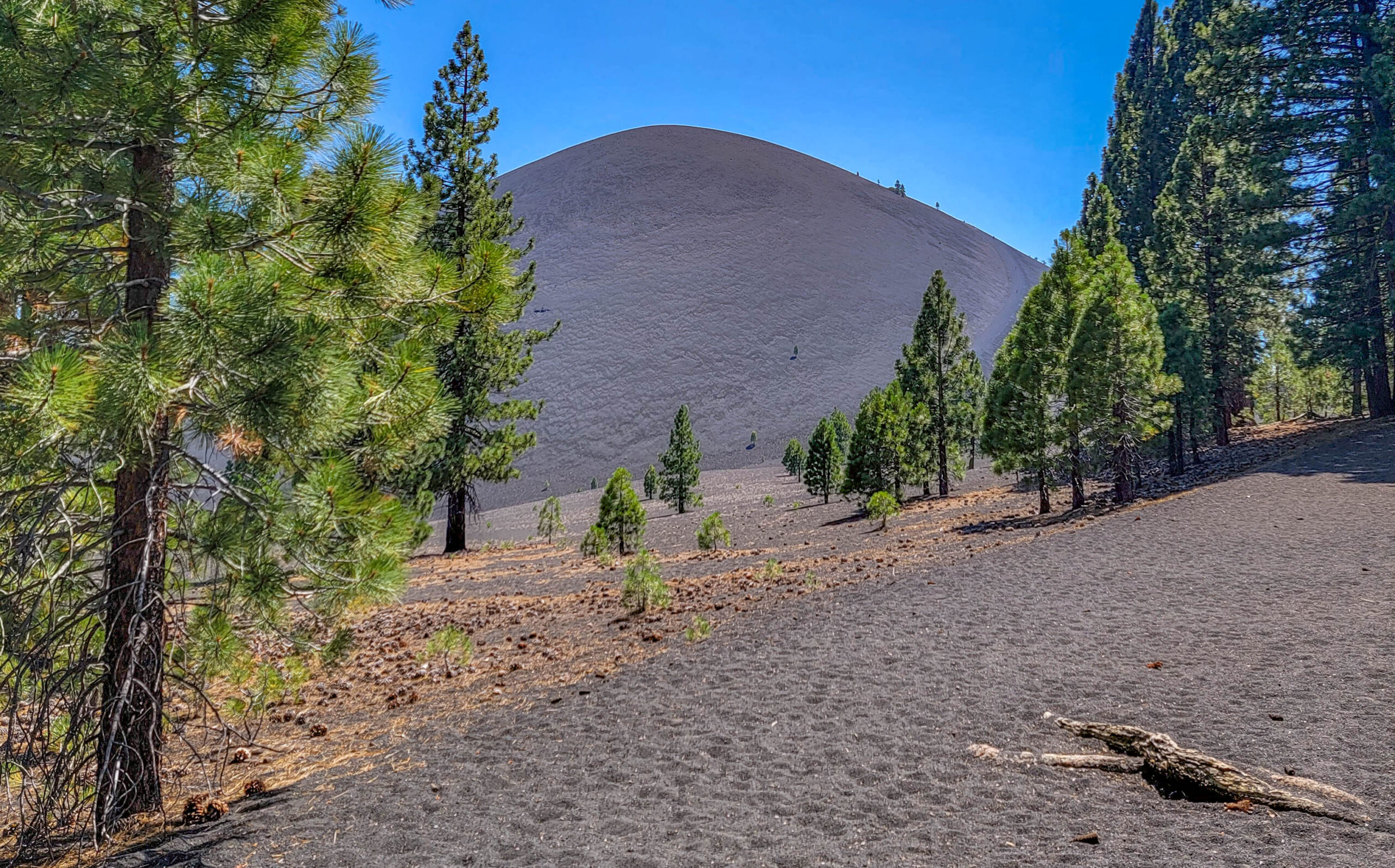
Cinder Cone volcano rising above the lava plain in Lassen Volcanic National Park
In the remote northeast corner, reached by 6 miles (9.7 km) of dirt road off Highway 44. Cinder Cone is a 700-foot (213 m) volcano that erupted in 1666, surrounded by the raw black Fantastic Lava Beds and the rust-and-ochre Painted Dunes.
The 4-mile (6.4 km) round trip climb to the crater rim is the best summit view in the park that doesn’t involve Lassen Peak itself. It’s also harder than four miles suggests — the whole climb is on loose cinder, and I lost a good fraction of every step to backslide.
Read the full trail guide: Cinder Cone Trail
(9) Warner Valley and Juniper Lake – South and Southeast
The park’s quiet corners, reached from Chester. Warner Valley holds three more hydrothermal areas — Boiling Springs Lake (3 miles / 4.8 km round trip), Devils Kitchen (4.4 miles / 7.1 km), and Terminal Geyser (5.8 miles / 9.3 km).
Both areas took the worst of the 2021 Dixie Fire, and recovery is ongoing. The Warner Valley and Juniper Lake campgrounds have been closed for fire recovery, and the Juniper Lake road was closed in 2026 for significant damage repairs. Check status before committing to the drive around.
Just Outside the Park
Subway Cave – Lassen National Forest
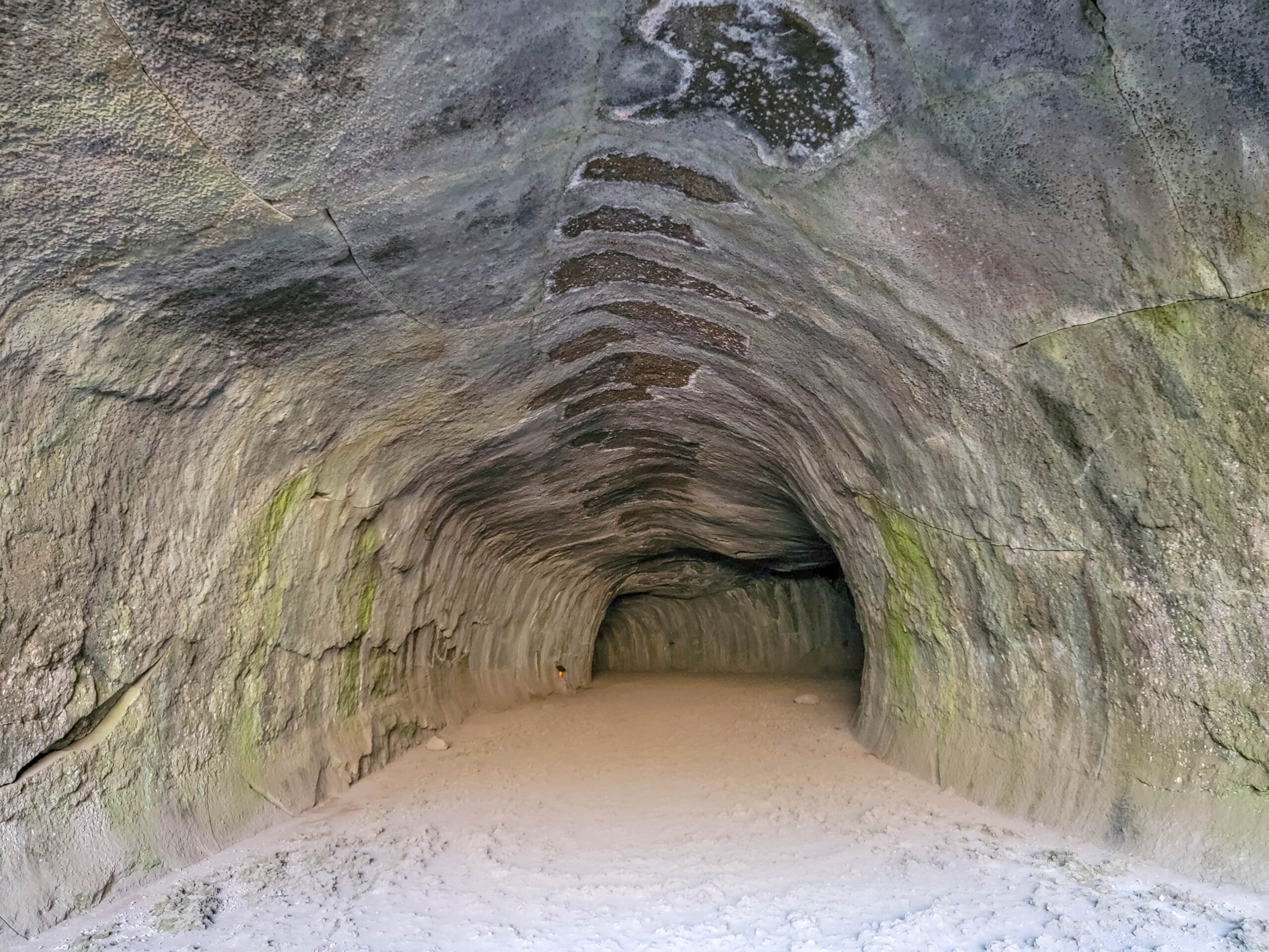
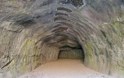
Arched lava tube passage inside Subway Cave
A 1,300-foot (400 m) lava tube you walk straight through, a quarter mile north of the Highway 44/89 junction at Old Station. It’s free, takes about 30 minutes, and holds at 46°F (8°C) year-round. There is no lighting — bring real flashlights, because visibility in the middle sections is genuinely zero. We did this in the morning and Cinder Cone the same afternoon, which makes an excellent day.
This is in Lassen National Forest, not the national park. Different agency, no park pass required, no fee at all.
Read the full guide: Subway Cave
Hat Creek Rim Overlook
A few miles from Subway Cave, this Pacific Crest Trail viewpoint looks out over the Hat Creek Valley with Mount Shasta and Lassen Peak both visible on a clear day. It’s a roadside stop and one of the better free views in the region.
McArthur-Burney Falls Memorial State Park
About 40 miles (64 km) north of Old Station, a 129-foot (39 m) waterfall fed by underground springs that runs at full volume year-round. Worth the detour if you’re heading toward Mount Shasta.
Best Hikes at a Glance
| Trail | Distance | Difficulty |
|---|---|---|
| Bumpass Hell | 3 mi (4.8 km) RT | Easy to moderate |
| Cinder Cone | 4 mi (6.4 km) RT | Moderate |
| Subway Cave | 1/3 mi (0.5 km) loop | Easy |
| Lassen Peak | 5 mi (8 km) RT | Strenuous |
| Kings Creek Falls | 2.3 mi (3.7 km) RT | Moderate |
| Lake Helen and Emerald Lake | Roadside | Easy |
| Manzanita Lake Loop | 1.8 mi (2.9 km) | Easy |
| Boiling Springs Lake | 3 mi (4.8 km) RT | Easy |
| Devils Kitchen | 4.4 mi (7.1 km) RT | Moderate |
Note on dogs: pets are not permitted on any trail in Lassen Volcanic, including in a carrier. This is stricter than many parks and catches people out. Subway Cave, being Forest Service land, has different rules.
Wildlife and Wildflowers
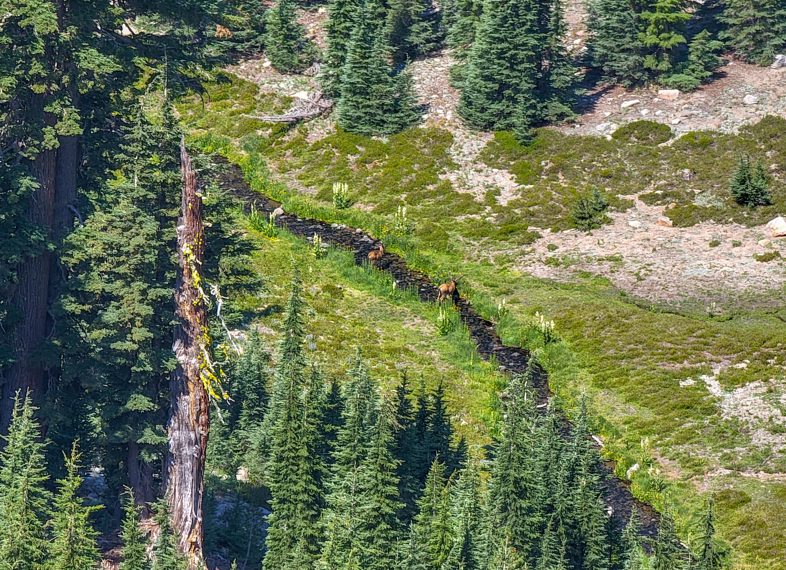
Deer grazing in a meadow in Lassen Volcanic National Park
Black bear, mule deer, coyote, and marmot are all common. The open sight lines along the high traverses make wildlife easier to spot here than in denser forest — we picked out deer working along a creek well below the Bumpass Hell Trail, which would have been invisible in thicker country.
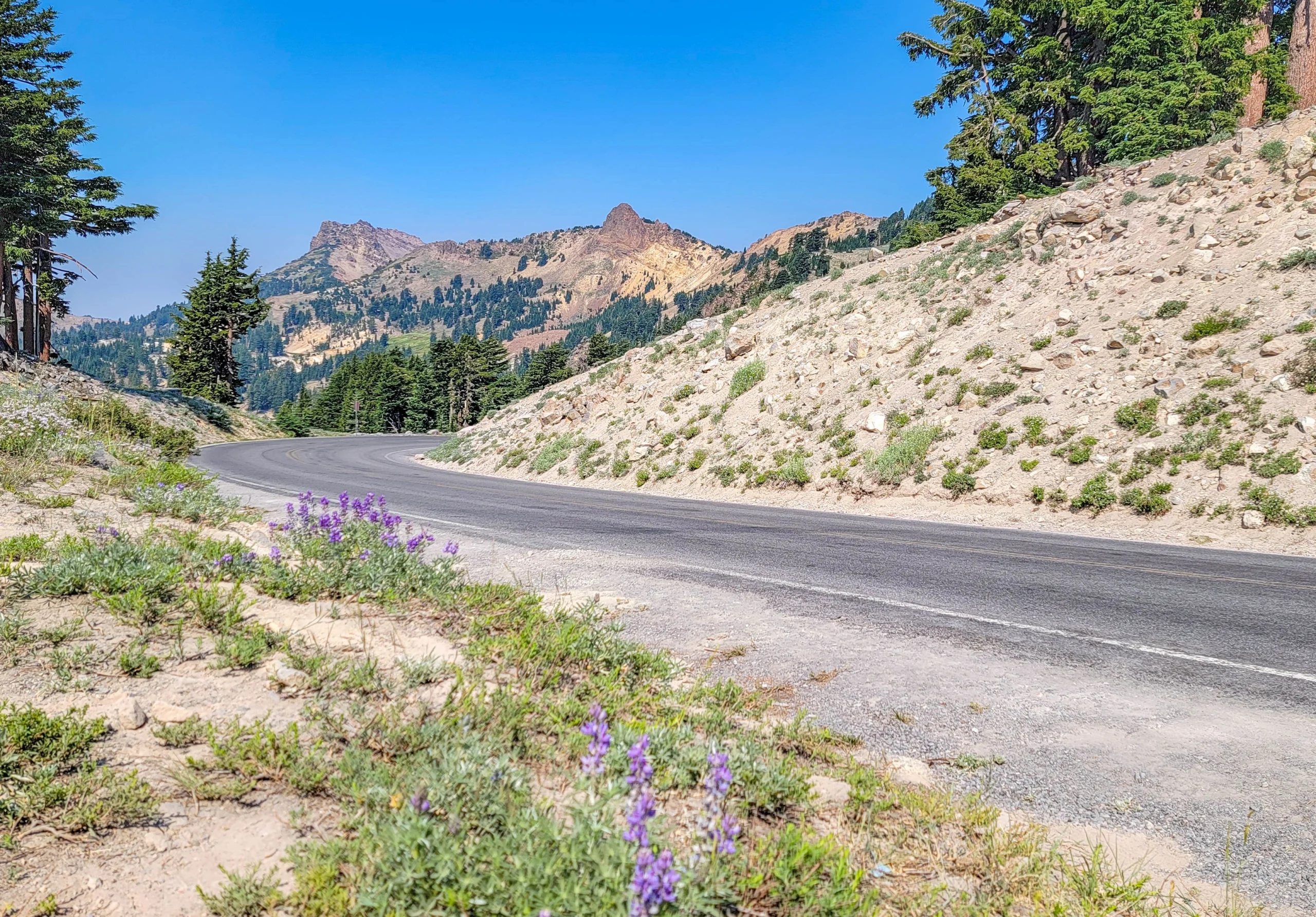
Lupine flowering beside the park highway with volcanic peaks beyond
Because the high country emerges from snow so late, wildflower season runs through July and August at elevations where you’d expect it to be over. Lupine covered entire slopes along the park highway when we were there in mid-July. It’s alpine spring in the middle of a California summer, and it’s not what you plan for when you think of a July trip to Northern California.
Photography Notes
- Manzanita Lake at sunrise is the classic Lassen frame — Lassen Peak reflected in still water. Get there early; wind picks up. Lake Helen and Emerald Lake give you a similar reflection higher up and closer to the road.
- The park highway itself photographs well. Pullouts on the climb toward Lake Helen give you the road curving away with Lassen Peak behind it, which is a stronger composition than the peak alone.
- The hydrothermal areas photograph best in flat light. Bright midday sun blows out the bleached ground and blackens the shadows.
- Steam reads better backlit. Position so the sun is behind the fumaroles and the plumes catch the light.
- Include people for scale in the hydrothermal basins and on Cinder Cone. Without a figure, the sense of size disappears.
- Late summer haze is real. Wildfire smoke is common from midsummer onward, and distant peaks go flat. Some of my July shots have noticeably soft horizons for exactly that reason. Morning is usually clearer.
- This is a dark sky park. With no significant light domes nearby, the summer Milky Way is exceptional. Manzanita Lake and the Devastated Area are both good.
Food and Places to Stay
Inside the park, options are limited and that’s the honest state of it:
- Lassen Cafe & Gift at the Kohm Yah-mah-nee Visitor Center — the only real food service in the park
- Manzanita Lake Camper Store — basic groceries and supplies, seasonal
- Manzanita Lake Camping Cabins — 20 cabins in one-room, two-room, and bunkhouse models, the first new lodging built in the park since 1972. The 2026 season ran roughly May 21 to October 12.
- Drakesbad Guest Ranch in Warner Valley — historic, meals included, but it has been closed for Dixie Fire recovery. Verify status before planning around it.
Camping: Manzanita Lake is the largest and most reliable, plus Summit Lake North and South and Butte Lake. Southwest Walk-In, Warner Valley, and Juniper Lake have been closed for fire recovery. Reserve through Recreation.gov.
Nearby towns:
- Mineral — closest to the Southwest Entrance, very limited services
- Chester — the base for Warner Valley and Juniper Lake, with restaurants and motels
- Old Station — closest to Subway Cave and the Northwest Entrance, limited services
- Redding — the nearest real city, about an hour west, with full services and a wide range of lodging
- Susanville — east, useful if you’re approaching from Nevada
Bring a cooler. The realistic move at Lassen is to stock up in Redding or Chester and picnic in the park. There are picnic areas at Manzanita Lake, Summit Lake, Butte Lake, and the visitor center.
Know Before You Go
- Altitude is a factor. The park highway tops out above 8,500 feet (2,590 m) and most trailheads sit between 6,000 and 8,500 feet. Hikes feel harder than their numbers suggest.
- Stay on boardwalks in hydrothermal areas. The ground can look solid over a thin crust hiding boiling, acidic water. People have been badly injured. The water and mud are acidic even when cool to the touch.
- No dogs on trails, anywhere in the park, service animals excepted.
- Cell service is unreliable to nonexistent across most of the park. Download maps beforehand.
- Fill your tank before entering. There is no gas in the park.
- Knee and ankle injuries are the most common visitor injury here. Wear real footwear with tread and ankle support.
- On the Dixie Fire: the 2021 fire burned about 73,000 acres inside the park, roughly 68%. The east and southeast — Warner Valley, Juniper Lake, and the wilderness between Butte and Juniper lakes — took the worst of it, and closures there continue. The park highway corridor, Manzanita Lake, and the Butte Lake area came through comparatively well. The park is very much worth visiting; just check what’s open in the corner you’re headed for.
Is Lassen Worth It?
Yes, and I’d put it near the top of the list of American national parks that don’t get the attention they deserve.
The comparison people reach for is Yellowstone, and for the hydrothermal features it’s fair — Bumpass Hell is the largest such area west of Yellowstone, and you’ll share it with a fraction of the crowd. But Lassen’s real distinction is the geology on display: four volcano types, a plug dome that erupted a century ago, a cinder cone from the 1660s, a lava tube you can walk through, and painted ash dunes, all within an hour’s drive of each other.
The honest caveats are seasonal and logistical. The road is closed most of the year. The high trails open later still. Three of the five entrance areas require driving around the outside of the park. Food and lodging inside are thin. And the Dixie Fire’s effects are still visible and still closing things in the southeast.
Plan around the snowpack, check conditions the morning you go, and give it two days. It rewards that more than almost any park its size.
For current conditions, road status, fees, and camping, visit the National Park Service page for Lassen Volcanic National Park, and the Lassen National Forest for Subway Cave and the Hat Creek area.
0 Comments