
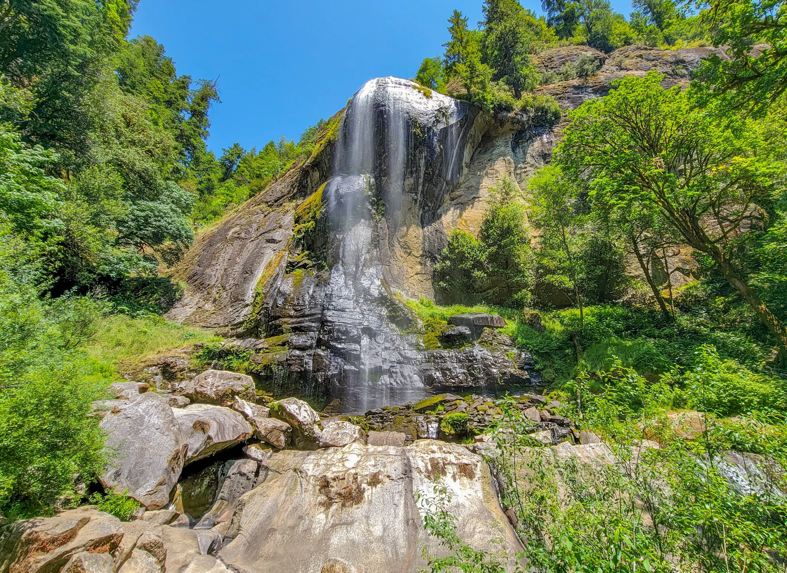

Golden and Silver Falls State Natural Area holds two waterfalls over 250 feet (76 m) tall at the end of a gravel road in the Coast Range east of Coos Bay, Oregon. Silver Falls drops 259 feet (79 m) and Golden Falls 254 feet (77 m), which makes them the second and third tallest waterfalls in the Oregon Coast Range.
Both are reachable on short walks — under half a mile round trip to each base. The hard part isn’t the hiking. It’s the 24 miles (39 km) of road from Highway 101, the last three of which narrow to one lane of gravel.
A detail that trips people up: Silver is the taller one. The names suggest a headliner and an understudy, and most visitors budget their time accordingly. They’re within five feet of each other.
Trail Facts
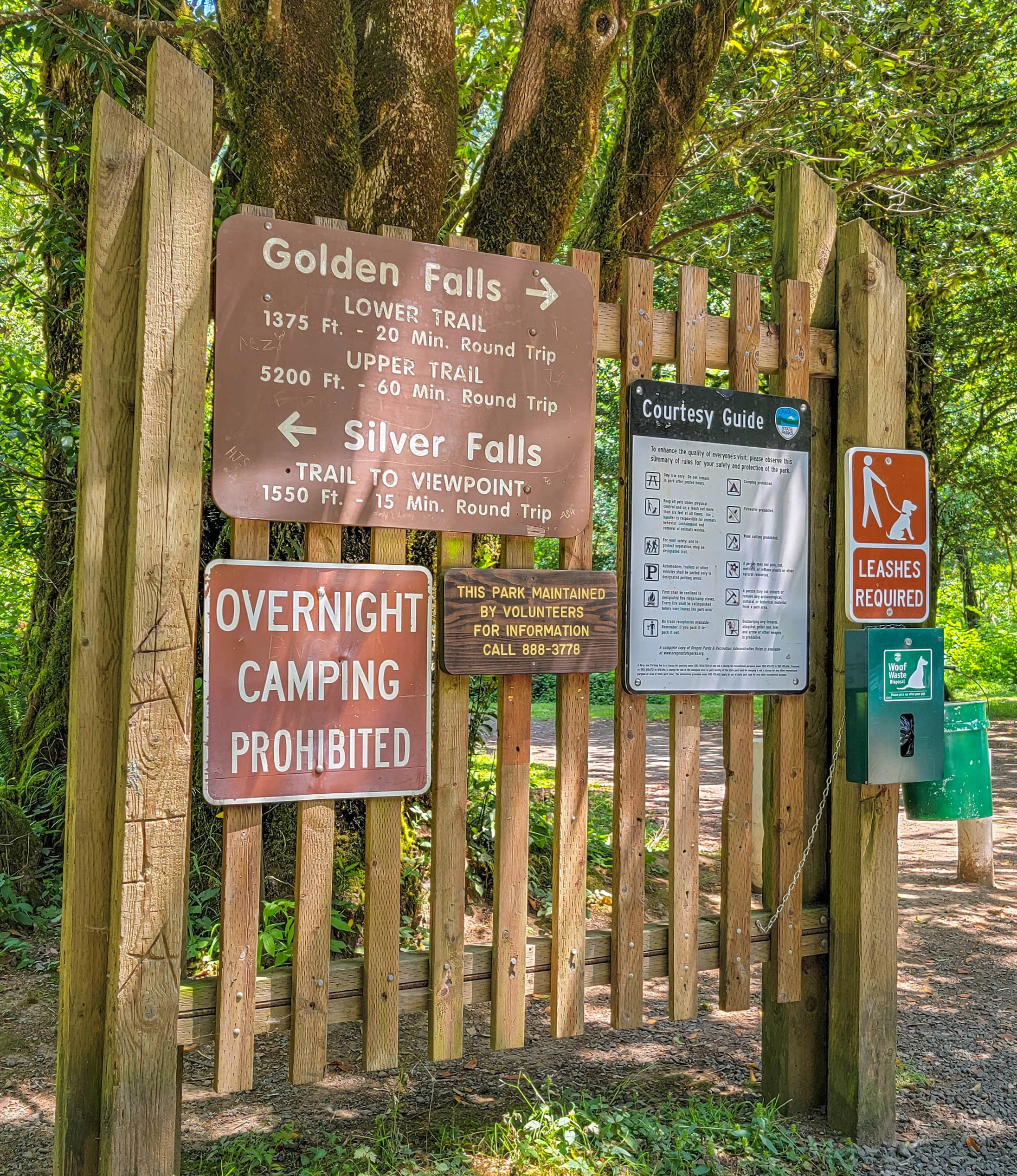
Taken from the sign at the trailhead junction, which is more precise than most published descriptions:
- Golden Falls, lower trail: 1,375 ft — 20 minutes round trip
- Golden Falls, upper trail: 5,200 ft — 60 minutes round trip
- Silver Falls, trail to viewpoint: 1,550 ft — 15 minutes round trip
- Difficulty: Easy to the bases; moderate on the upper trail
- Season: Year round, but the road is the constraint in winter
- Fee: None
- Dogs: Permitted, leashes required
- Camping: Prohibited
- Facilities: Small parking area and picnic area; no water
- Maintained by volunteers — the sign says so, and it explains the condition of things
Doing both falls takes about an hour, and that’s what most people should plan for. We were on the trails from 1:15 to 2:07 in the afternoon and saw both bases without hurrying.
Getting to Golden and Silver Falls — Read This Before You Commit
From Coos Bay, follow the Coos River east through Allegany, roughly 24 miles (39 km) from Highway 101. The pavement gives out and the last three miles (4.8 km) are one lane of gravel.
In dry summer conditions a passenger car handles it without drama. After heavy rain the road gets narrow and muddy, and clearance helps in winter. There are no services and no cell coverage once you leave Coos Bay.
The parking area is small. It sits where Glenn Creek and Silver Creek come together, shaded by big maple, alder, and Oregon myrtle. On a July weekday there was room. On a summer weekend there might not be.
The Trails
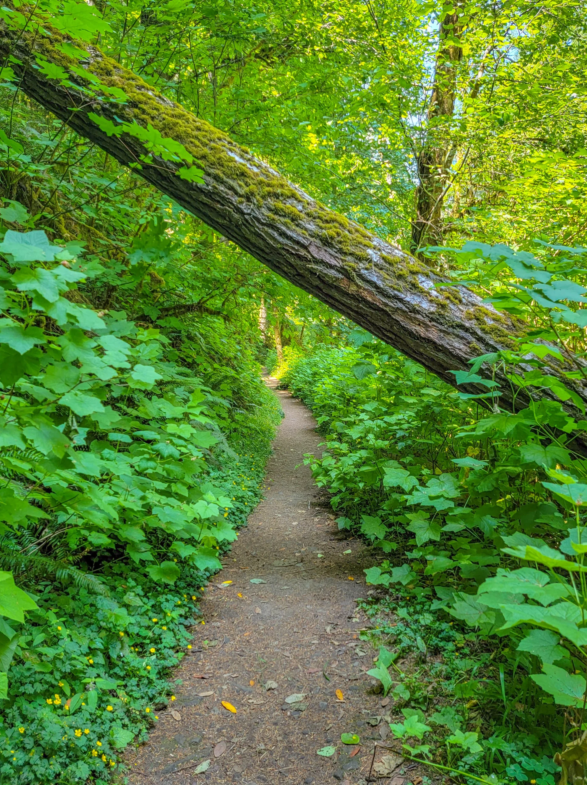
The walking is easy and short, through the kind of wet Coast Range forest that stays green through a dry summer — sword fern, big-leaf maple, moss on everything that holds still.
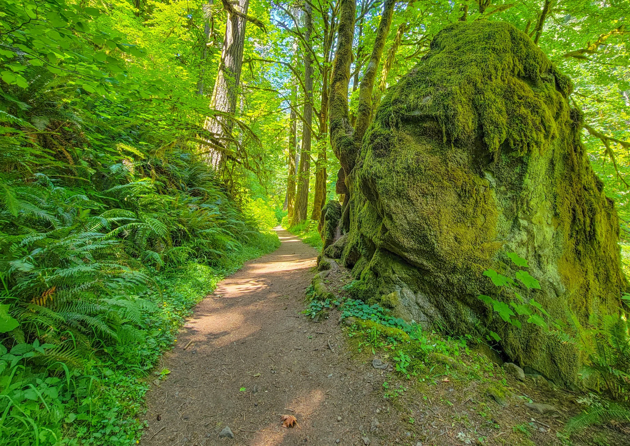
Boulders the size of small cars sit beside the path, furred over with moss. They came off the canyon walls, which is a useful thing to keep in mind at the base of the falls.
We took them in the reverse of the name order — Silver first, then Golden — which is the direction the junction sign points you if you go left before right.
Silver Falls
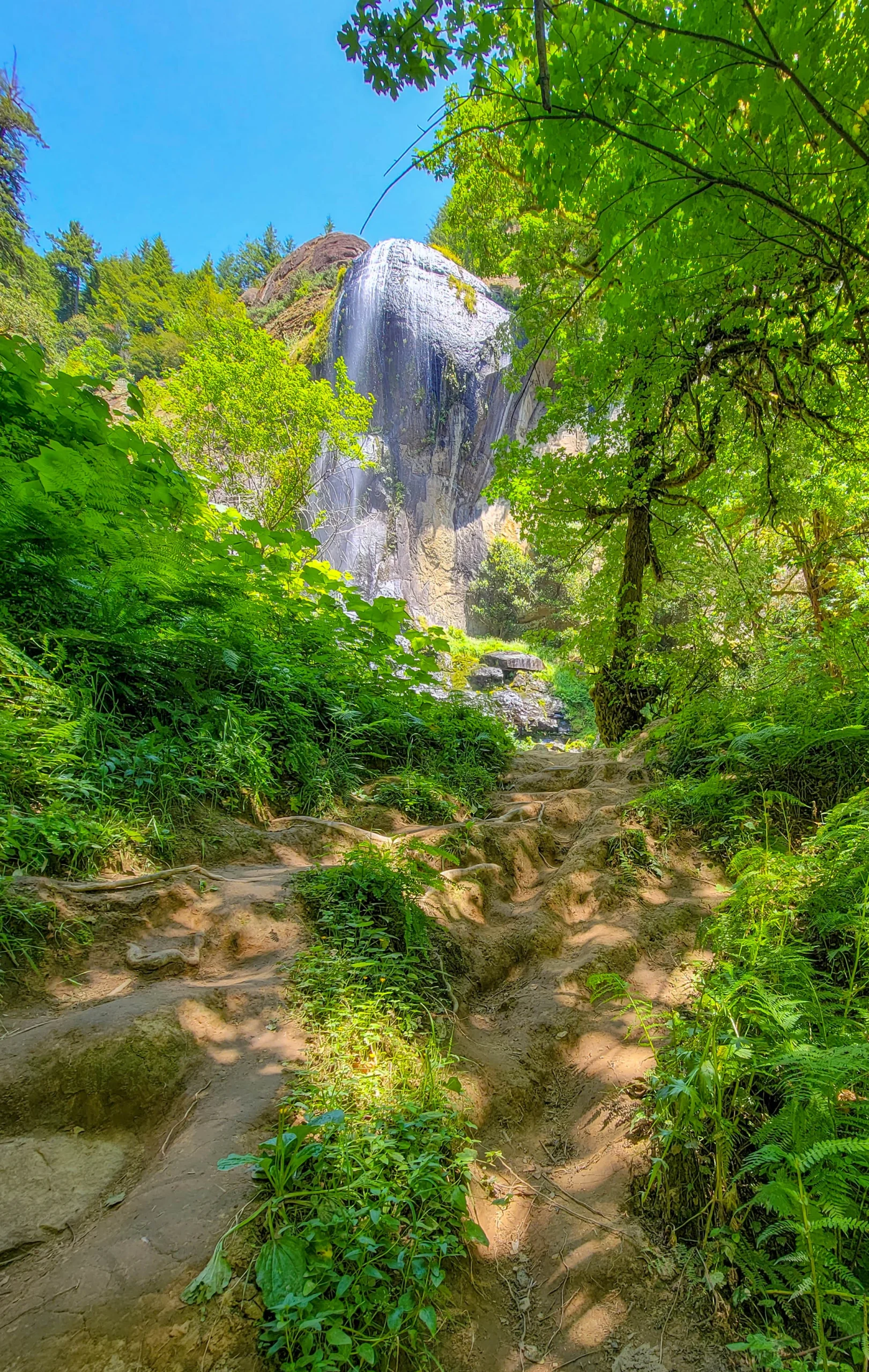
The trail to Silver Falls runs about 1,550 feet to the viewpoint, and the last stretch is rooty and worn down to bare dirt and rock. You get a first glimpse of the falls through the trees before it opens at the base.
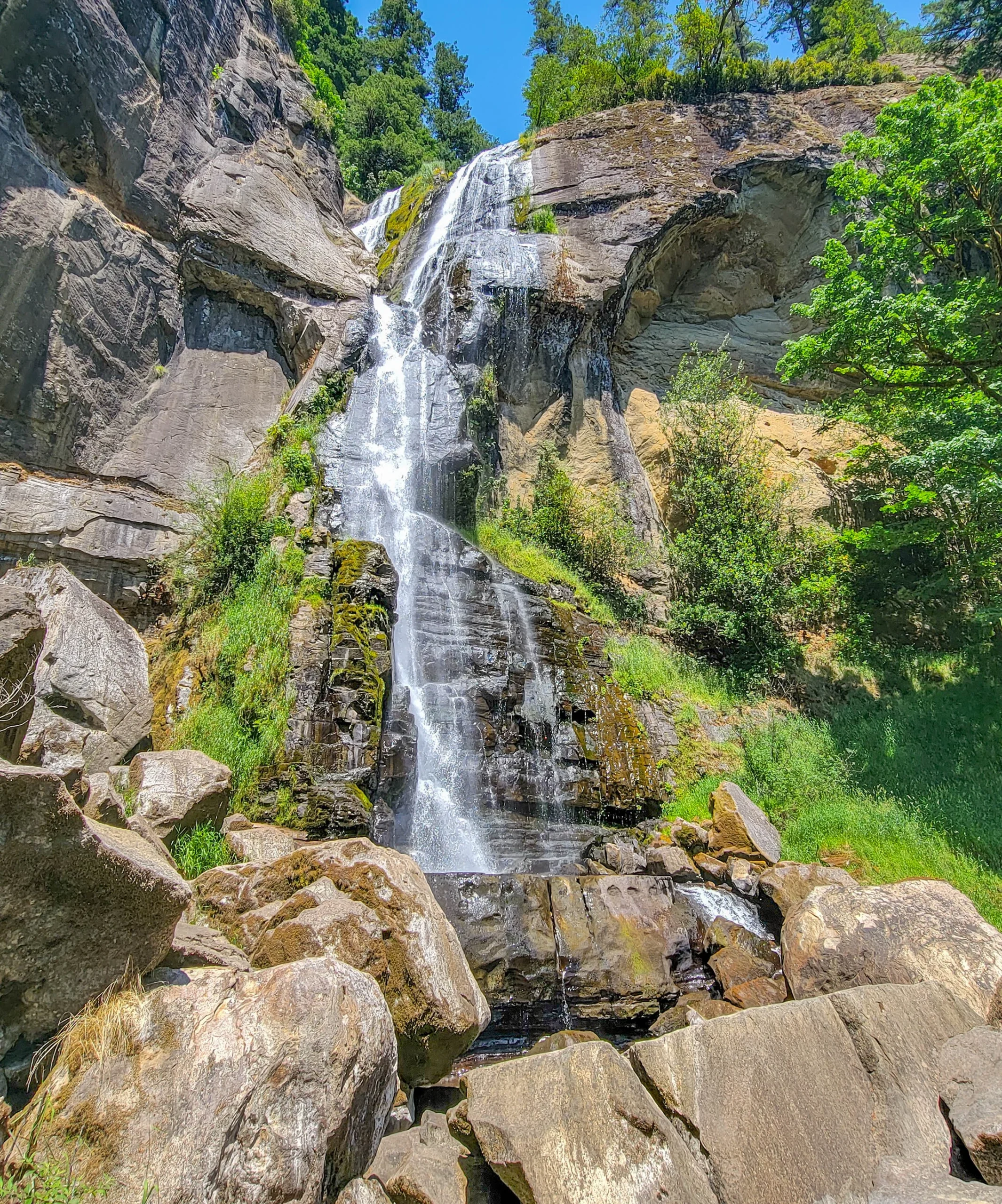
Silver Falls comes over the top of a rounded rock face and sheets down it rather than free-falling clear. Silver Creek is doing the work. The rock is layered sandstone, undercut and hollowed in places, with a bulge of harder stone that the water pours across.
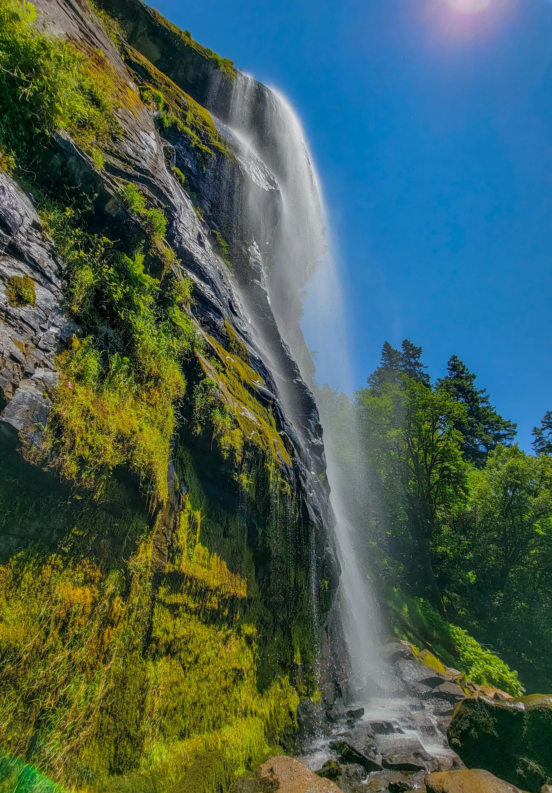
Get in close to the base and it becomes a different subject entirely — a plume against the sky, with the wall running out of frame on both sides.
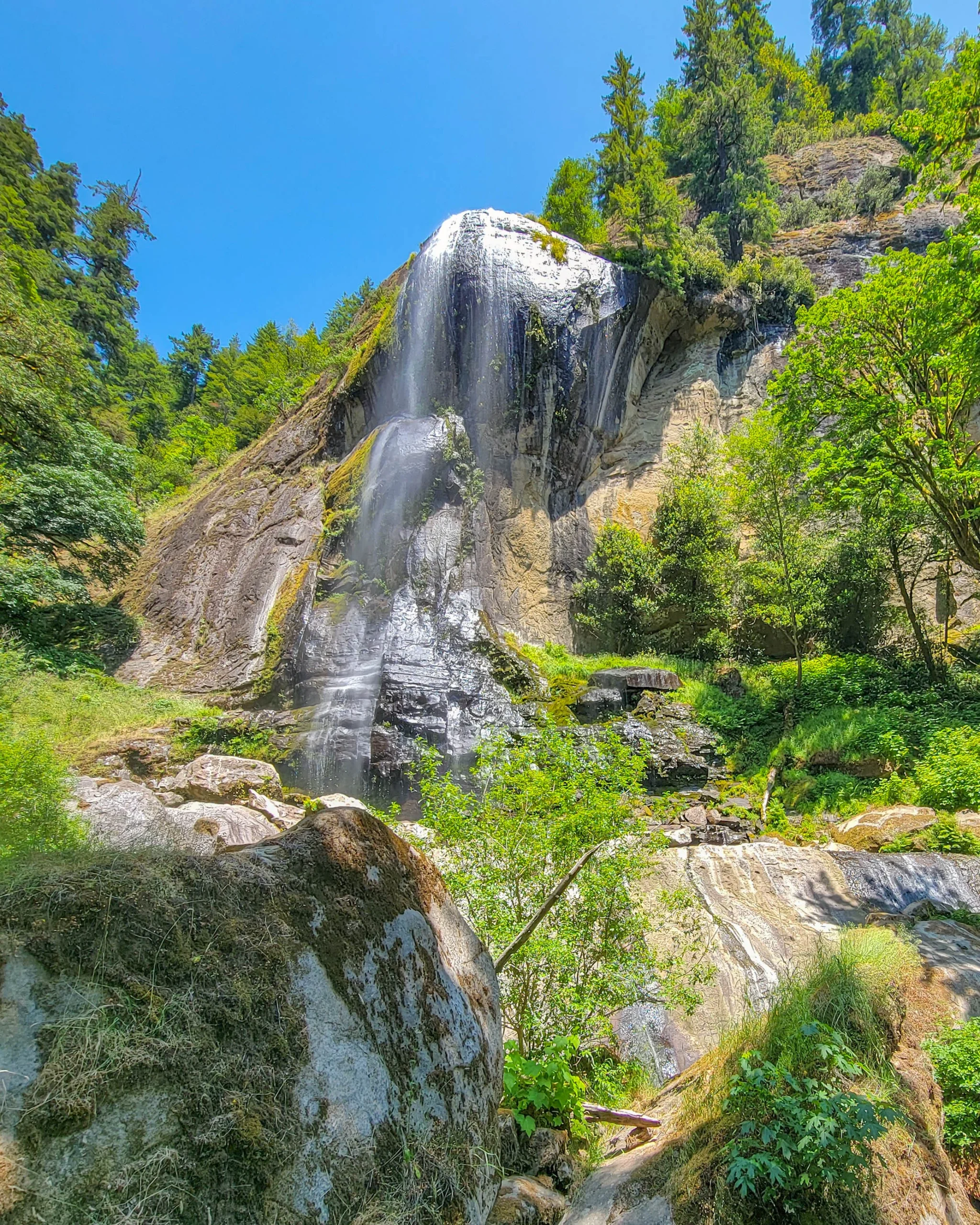
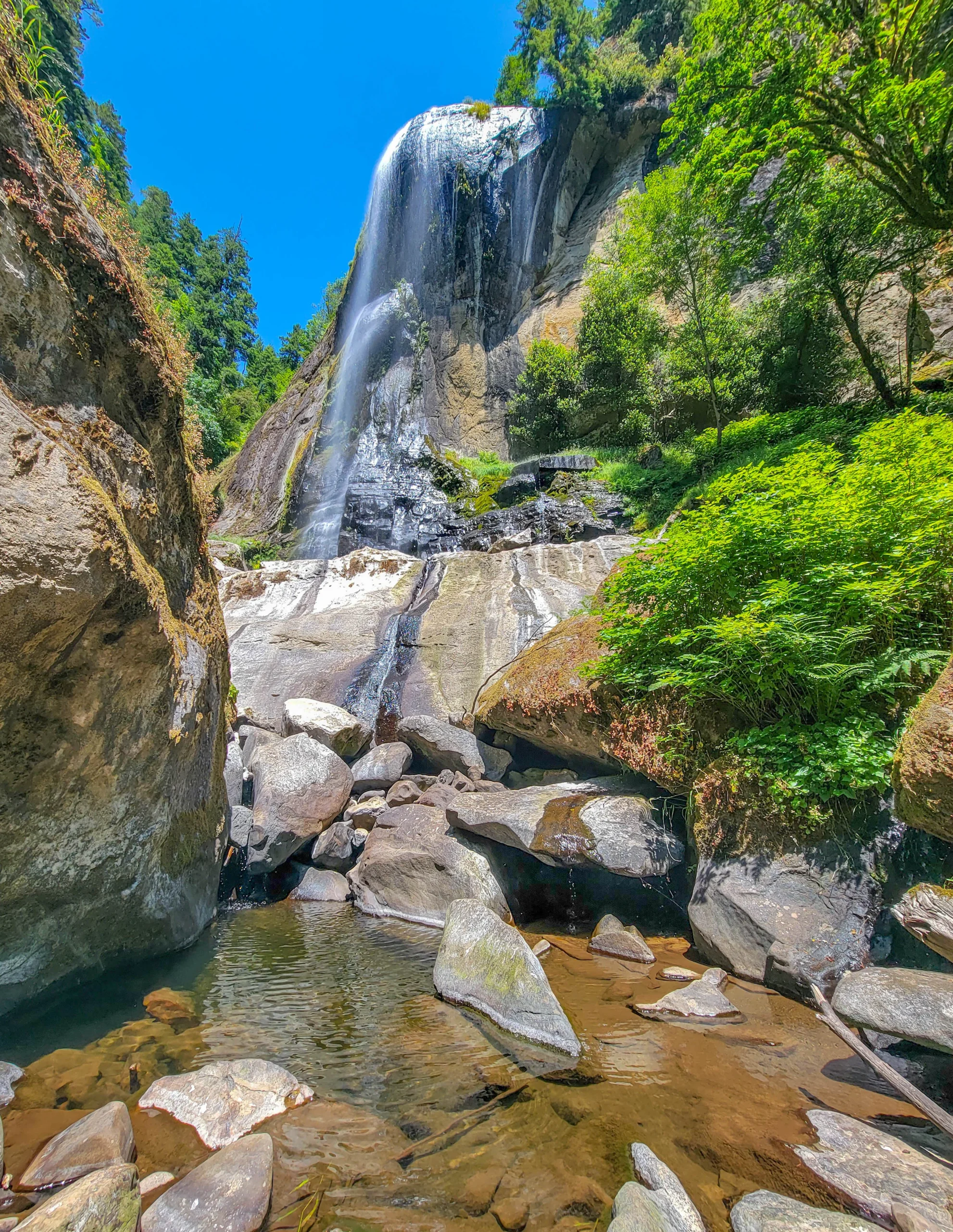
The base is a jumble of pale boulders and shallow pools. In July the flow was well down from spring levels and the pool at the bottom was clear and low — good for photographs, less impressive as a spectacle. Come in spring and this is a much louder place.
At 259 feet (79 m) this is the taller of the two, which surprises people. The name order suggests otherwise.
Golden Falls
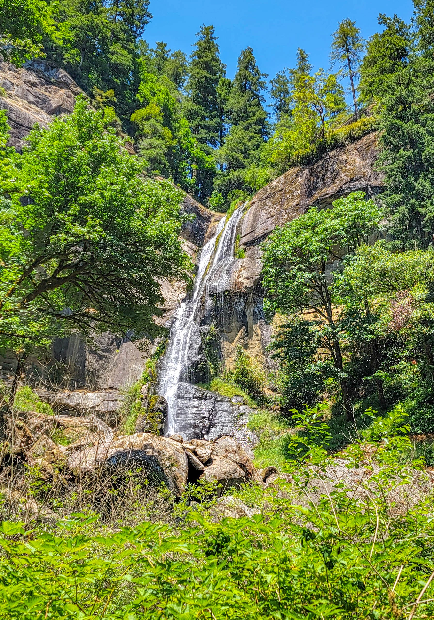
Back at the junction, the lower trail to Golden Falls runs about 1,375 feet — a twenty-minute round trip.
Glenn Creek comes down a stepped, layered face in a long ramp rather than a single plunge, breaking white the whole way. At 254 feet (77 m) it’s five feet shorter than Silver and the more complicated of the two to look at.
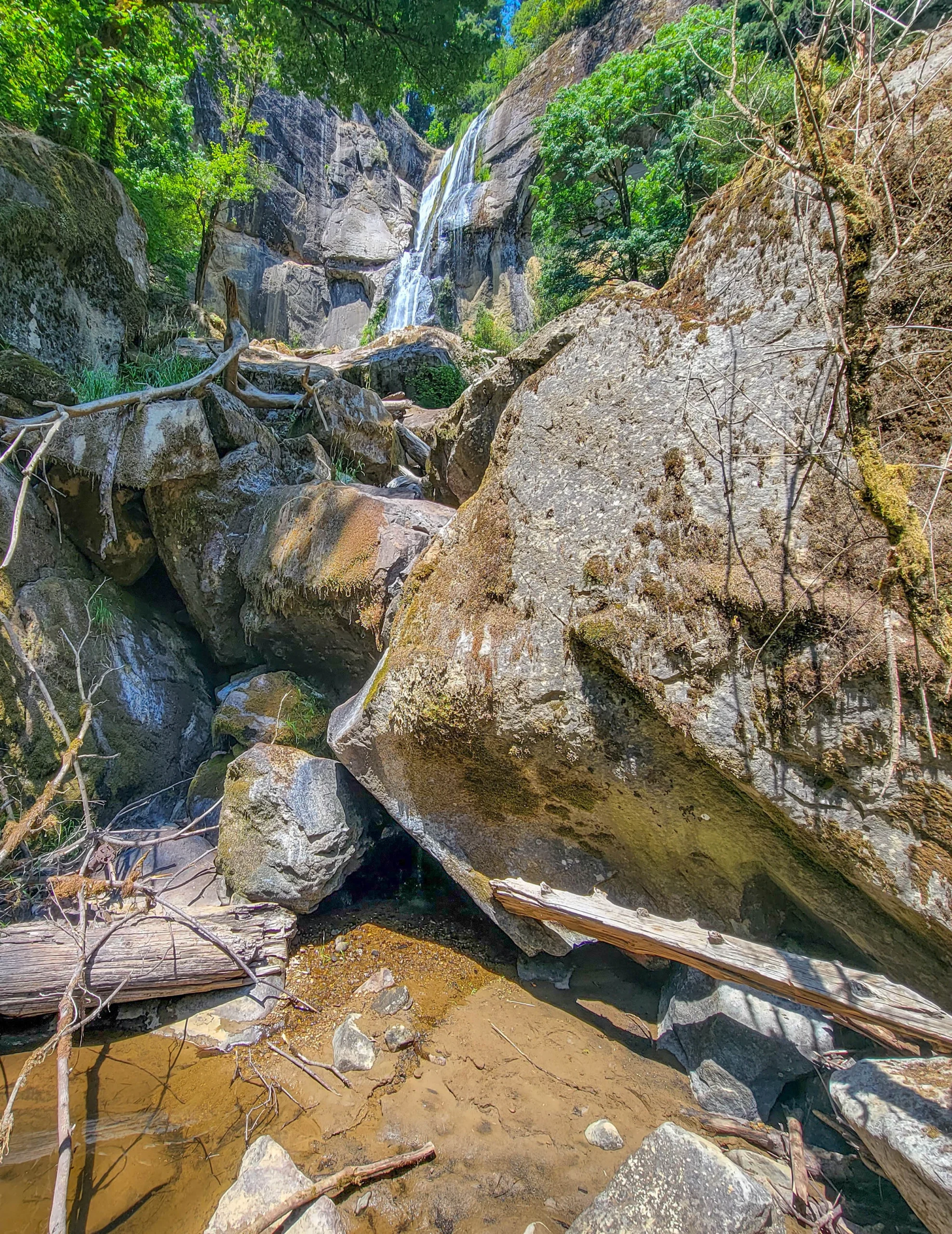
The base is choked with boulders and bleached logs stacked at angles, which is either a compositional gift or a problem depending on your patience.
The upper trail climbs about a mile to the top of Golden Falls, where you look out over the drop and into old-growth fir and cedar. We didn’t do it. Budget the full hour if you want it.
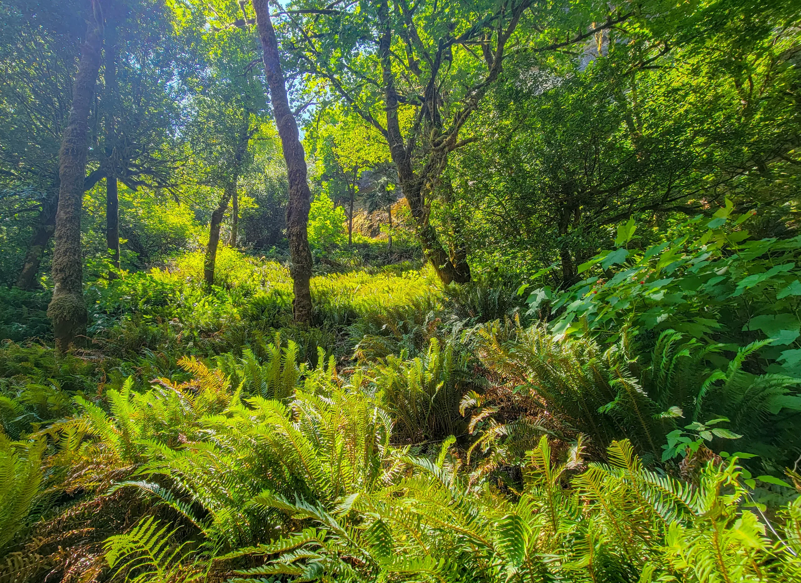
On the way out, the afternoon sun was coming through the canopy onto a slope of sword fern — the kind of light that lasts about ten minutes and is worth stopping for.
Photography Notes
- Midday is a problem here and there’s no way around it. Both falls face into open sky, and the canyons are narrow enough that you get harsh contrast between lit rock and shadow. Overcast is much better.
- The base of Silver Falls is the strongest position. Standing close and shooting up gives you scale that a full-height frame flattens out.
- Bring a polarizer for wet rock, and a cloth for spray at Silver.
- Vertical frames for both. They’re 250 feet tall in narrow canyons; nothing else works.
- Spring is the photograph, summer is the walk. By July the flow is thin enough that the rock face reads more than the water does.
- The fern glades along the trail are worth as much as the falls in the right light, and nobody shoots them.
Know Before You Go
- The gravel road is the gate. Three miles of one lane, fine in a dry summer, muddy and narrow after rain.
- No cell service past Coos Bay.
- Small parking area. Arrive early on summer weekends.
- No camping, no fires, day use only. Leashes required.
- Volunteer-maintained. Report problems rather than expecting a ranger.
- Flow drops hard through summer. Spring runoff is when both falls are at their best.
- Stay off the boulders below the falls when they’re wet. The rock is slick and the debris at both bases shows what comes down.
- This is a full detour, not a stop. Roughly an hour and a half round trip from Coos Bay before you’ve walked anywhere.
Is It Worth It?
Yes, if you understand what you’re driving out for.
Two waterfalls over 250 feet, ten minutes apart on foot, with almost nobody there. That’s rare, and the short trails mean you can bring people who don’t hike. The forest between them is as good as the falls.
The honest caveats are the road, the season, and the light. Twenty-four miles each way from Highway 101 is a real commitment for about an hour of walking. Summer flow is a fraction of spring. And midday sun is unkind to both.
Go in spring if you can, on an overcast day, and give the whole thing three hours from Coos Bay. If you only have time for one, take Silver — the base is more accessible and the rock face is the better subject, and it’s the taller of the two by five feet. Which is not what the name order leads you to expect.
For current road conditions and closures, visit the Oregon State Parks page for Golden and Silver Falls State Natural Area.
0 Comments