

Horsetail Falls and Wahclella Falls – Columbia River Gorge – Oregon
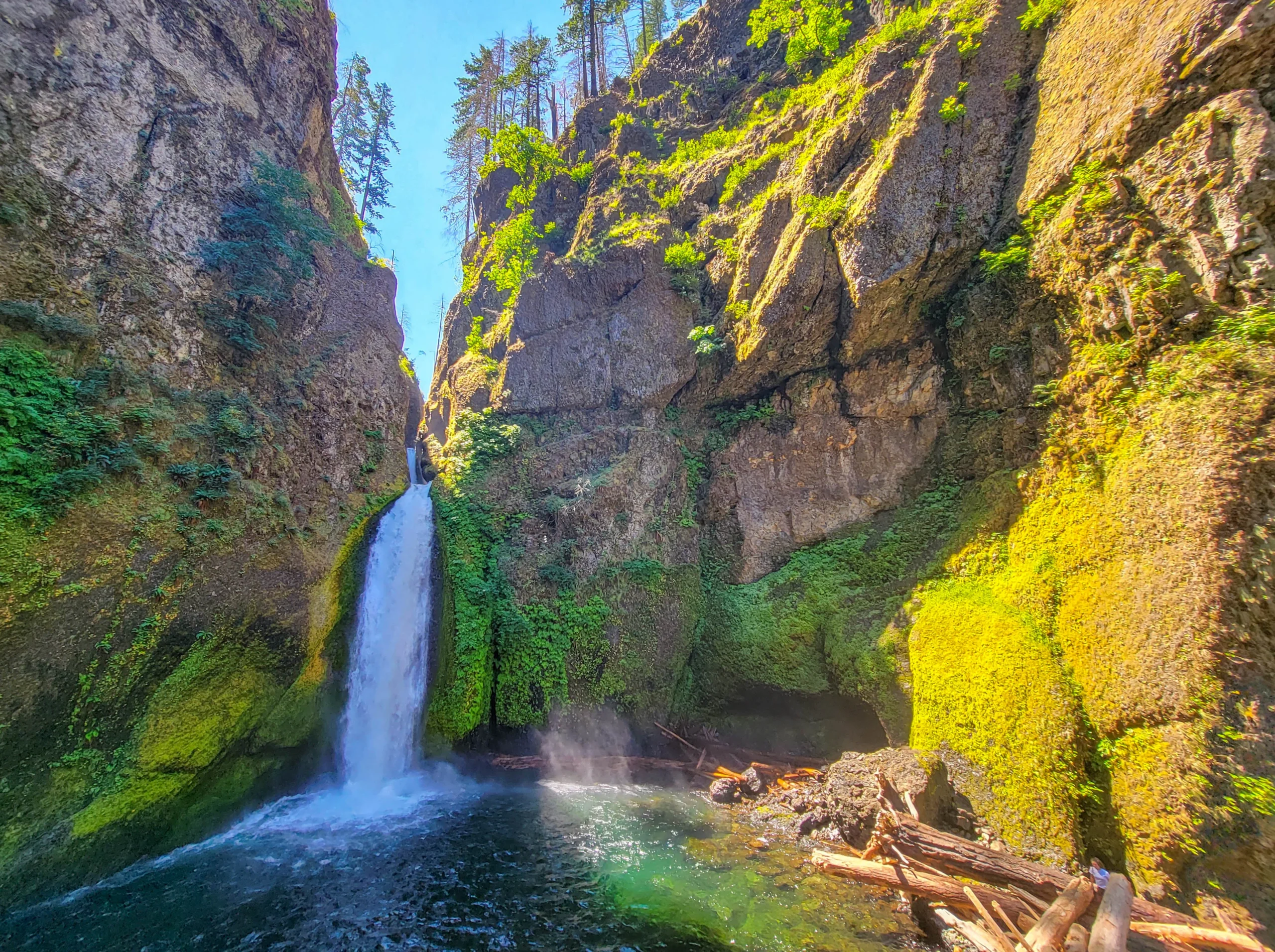
Wahclella Falls dropping in two tiers into its amphitheater on Tanner Creek, Columbia River Gorge, Oregon
Horsetail Falls and Wahclella Falls are two Columbia River Gorge waterfalls about fifteen minutes apart on I-84, and they ask completely different things of you. Horsetail drops 176 feet (54 m) into a pool beside the Historic Columbia River Highway and costs you a walk across the road. Wahclella is a roughly 2-mile (3.2 km) round trip up Tanner Creek into a basalt amphitheater, and it’s one of the best short hikes in the Gorge.
We did both on a July morning, Horsetail first at about ten, Wahclella at half past eleven, with a stop at Bonneville Dam in between.
Check before you go. As of spring 2026 the Wahclella Falls trail is closed following December 2025 storm damage, along with Eagle Creek and Punchbowl Falls. Horsetail is unaffected. This corridor closes and reopens more than any other part of the Gorge, and the reason is the fire.
The Fire Is Still the Story
The Eagle Creek Fire started on September 2, 2017 and burned roughly 50,000 acres of the Columbia River Gorge. It burned especially hot in the Tanner Creek watershed — the drainage that feeds Wahclella.
The Wahclella trail closed for nearly two years and reopened in August 2019.
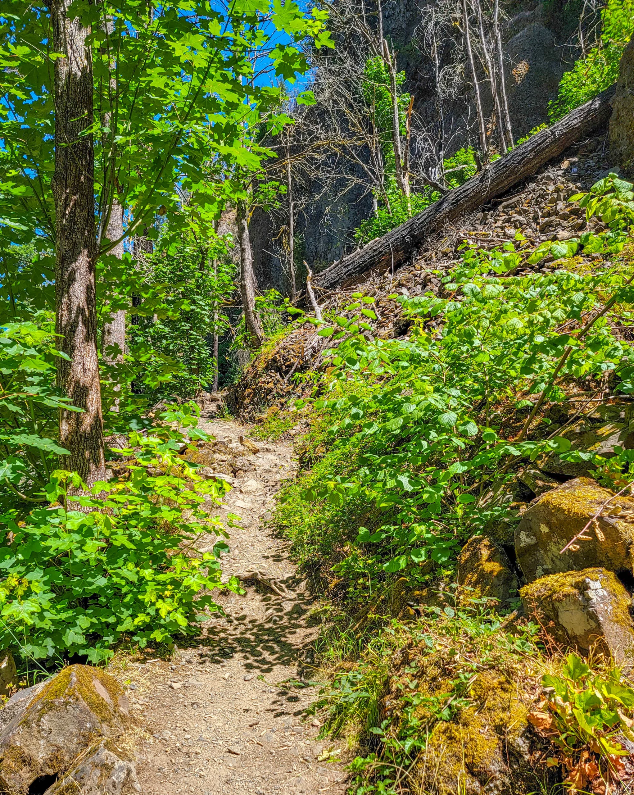
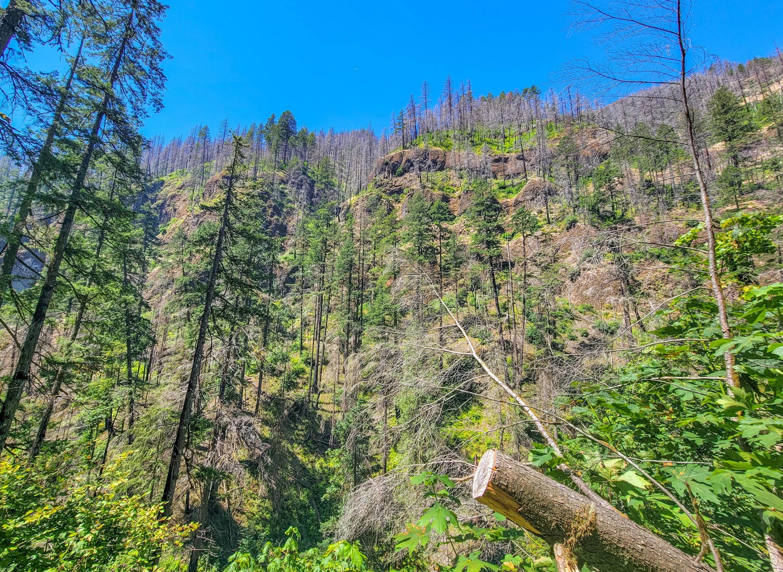
What you walk through now is a landscape mid-recovery. Standing dead conifers on every ridge, bare talus where the canopy used to hold the slope together, and underneath it all a dense green flush of alder, maple, and thimbleberry coming back fast.
Nearly every guidebook and blog post written before September 2017 describes a forest that no longer exists. If a description mentions deep shade the whole way in, it predates the fire.
The practical consequence matters more than the aesthetic one. Land management agencies have said flash flood, falling tree, and landslide risk stays elevated for up to ten years after a burn — and that’s precisely why this trail keeps closing after big storms. The December 2025 closure isn’t bad luck. It’s the fire, still working.
Horsetail Falls
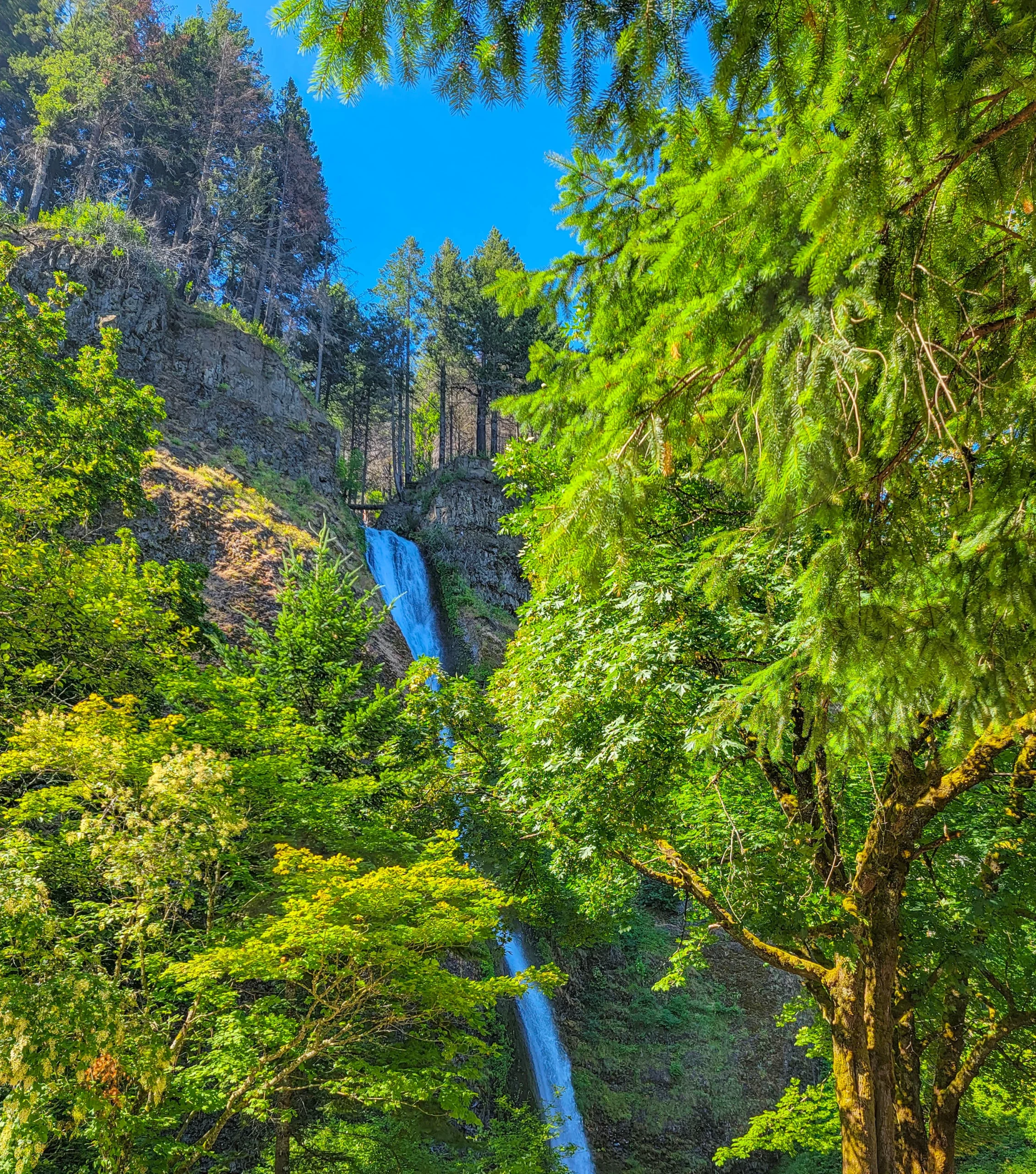
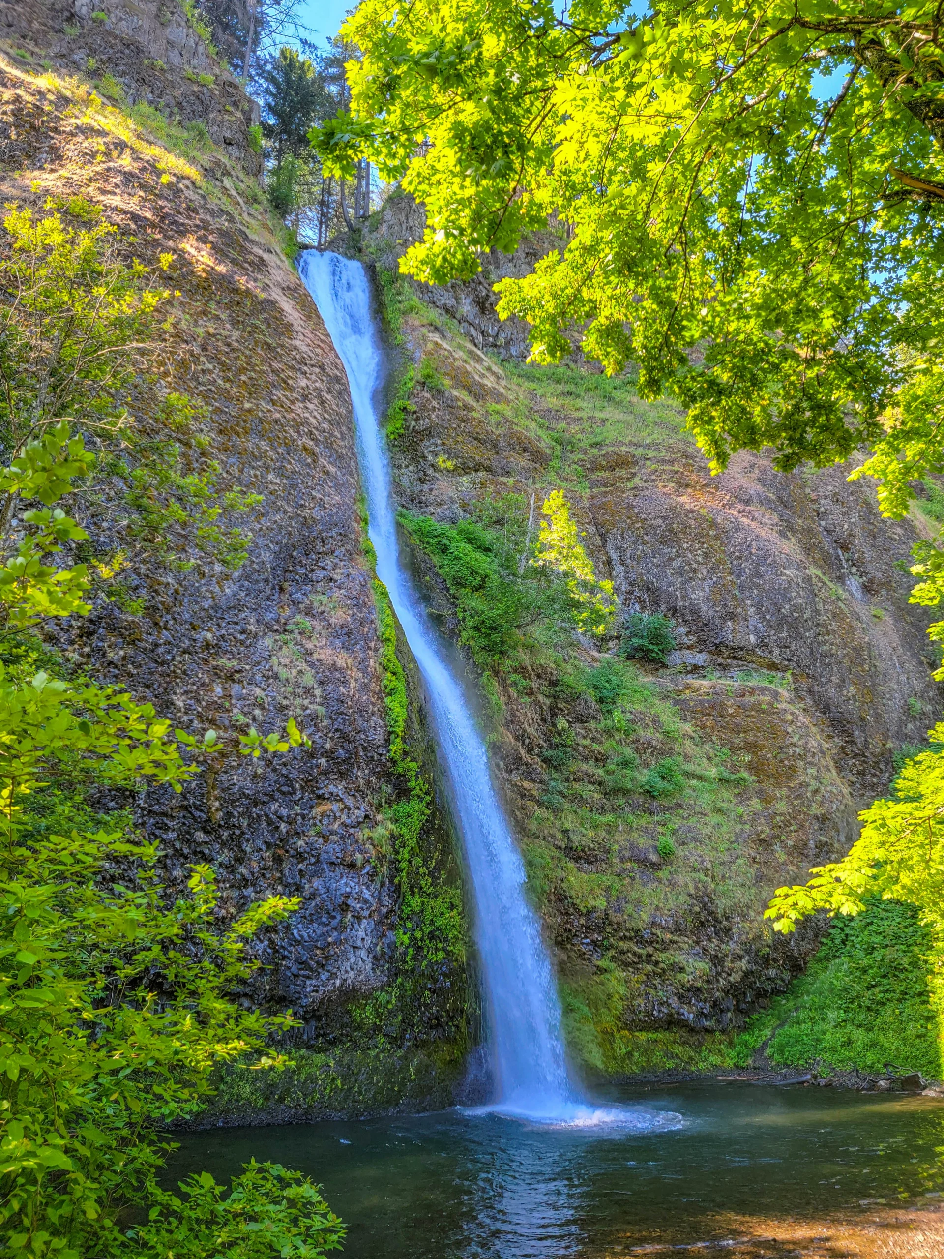
Horsetail Falls is the easiest waterfall in the Gorge to see. It comes down a basalt cliff 176 feet (54 m) into a pool, and the Historic Columbia River Highway runs past the base. You park, cross the road, and you’re there.
Fee: None
Distance to the falls: Essentially zero — it’s roadside
Parking: Small lot on the north side of the highway, opposite the falls. It fills fast.
Time needed: Ten minutes, or two hours if you hike above it
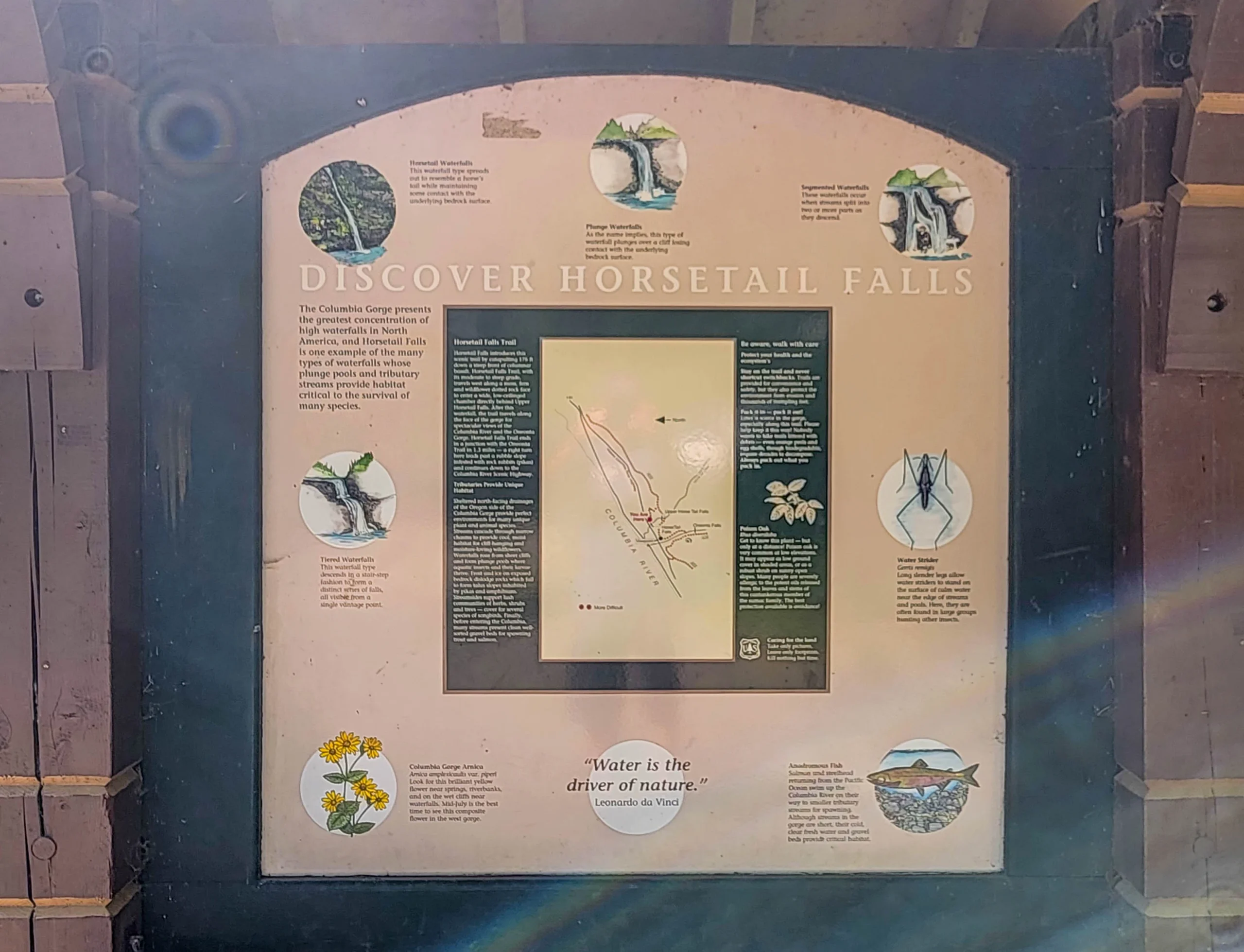
If you want more than a photo stop, the Horsetail Falls Trail #438 climbs steeply from the parking area and passes behind Upper Horsetail Falls — usually called Ponytail Falls — through a basalt overhang, then connects to the Oneonta Trail. That’s the loop most people are actually after.
We didn’t do it. Five minutes at the base was all we gave it, on the way to something longer.
Wahclella Falls
Wahclella Falls is the one worth planning a morning around.
Trail Facts
Distance: About 1.8 to 2 miles (2.9–3.2 km) round trip, a lollipop loop
Elevation gain: Roughly 300 feet (91 m)
Trail: Wahclella Falls Trail #436
Difficulty: Easy to moderate
Time: 1 to 2 hours
Permit: A Northwest Forest Pass or America the Beautiful pass is required. Day passes around $5 are usually available on site; the annual is about $30.
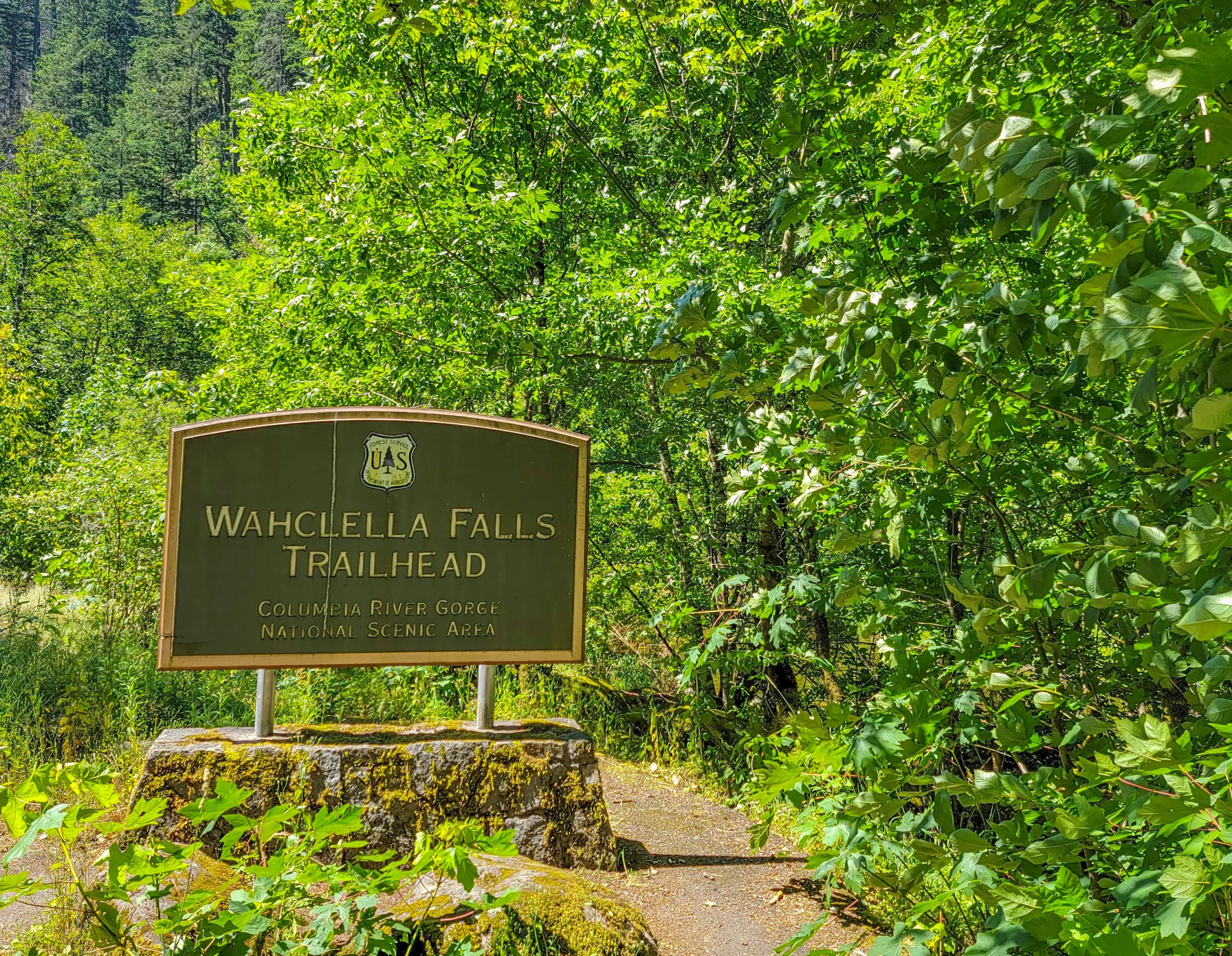
Trailhead: Exit 40 off I-84, at the end of the Tanner Creek road
Status: Closed as of spring 2026. Verify before you drive out.
The pass requirement catches people. Horsetail is free and fifteen minutes away; Wahclella needs a federal recreation pass. Two waterfalls, one morning, two different fee regimes — a pattern that turns up constantly in the Northwest.
The Walk In
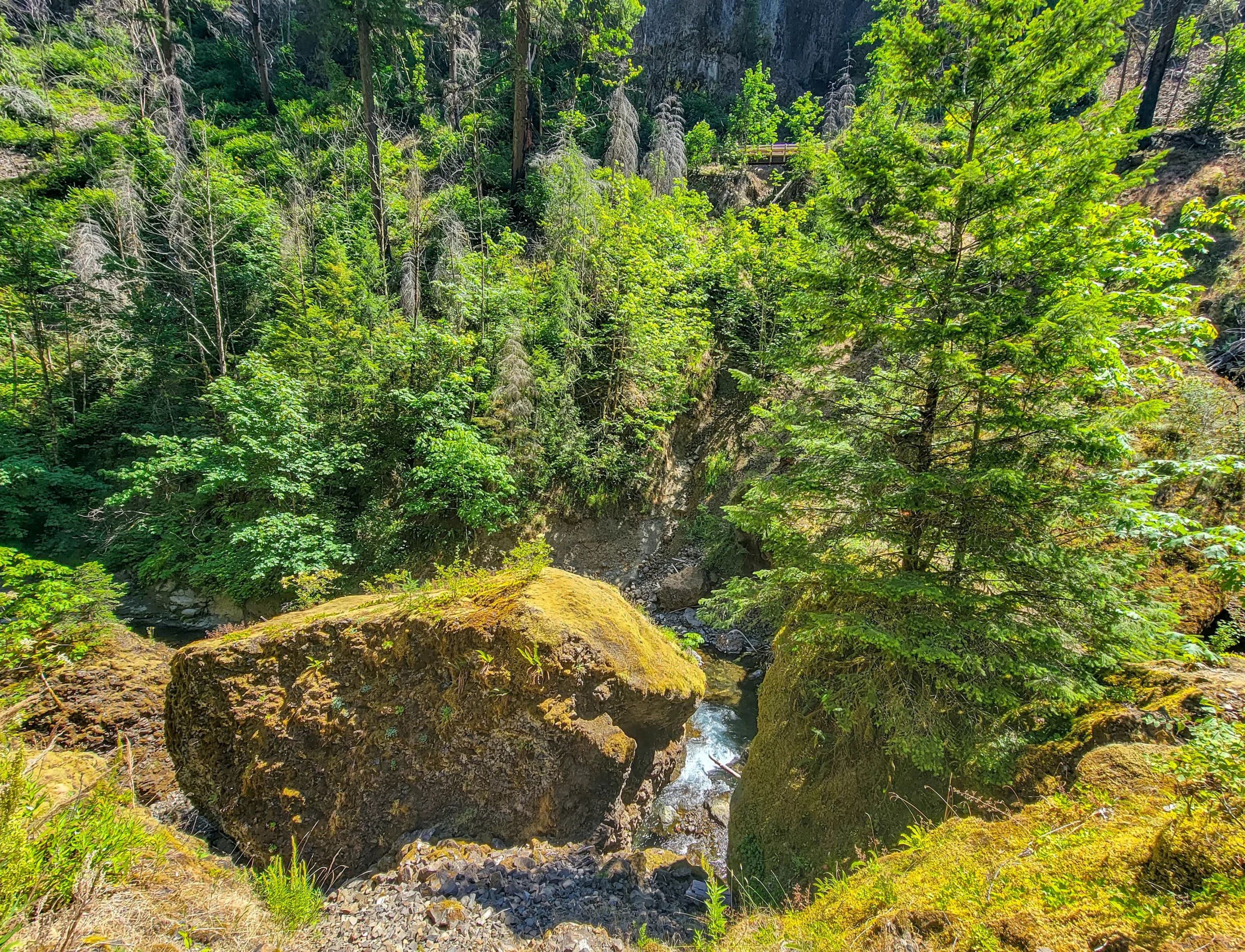
The trail starts on an old service road along Tanner Creek and passes a small side falls in the first quarter mile — a bonus most people don’t expect and walk straight past.
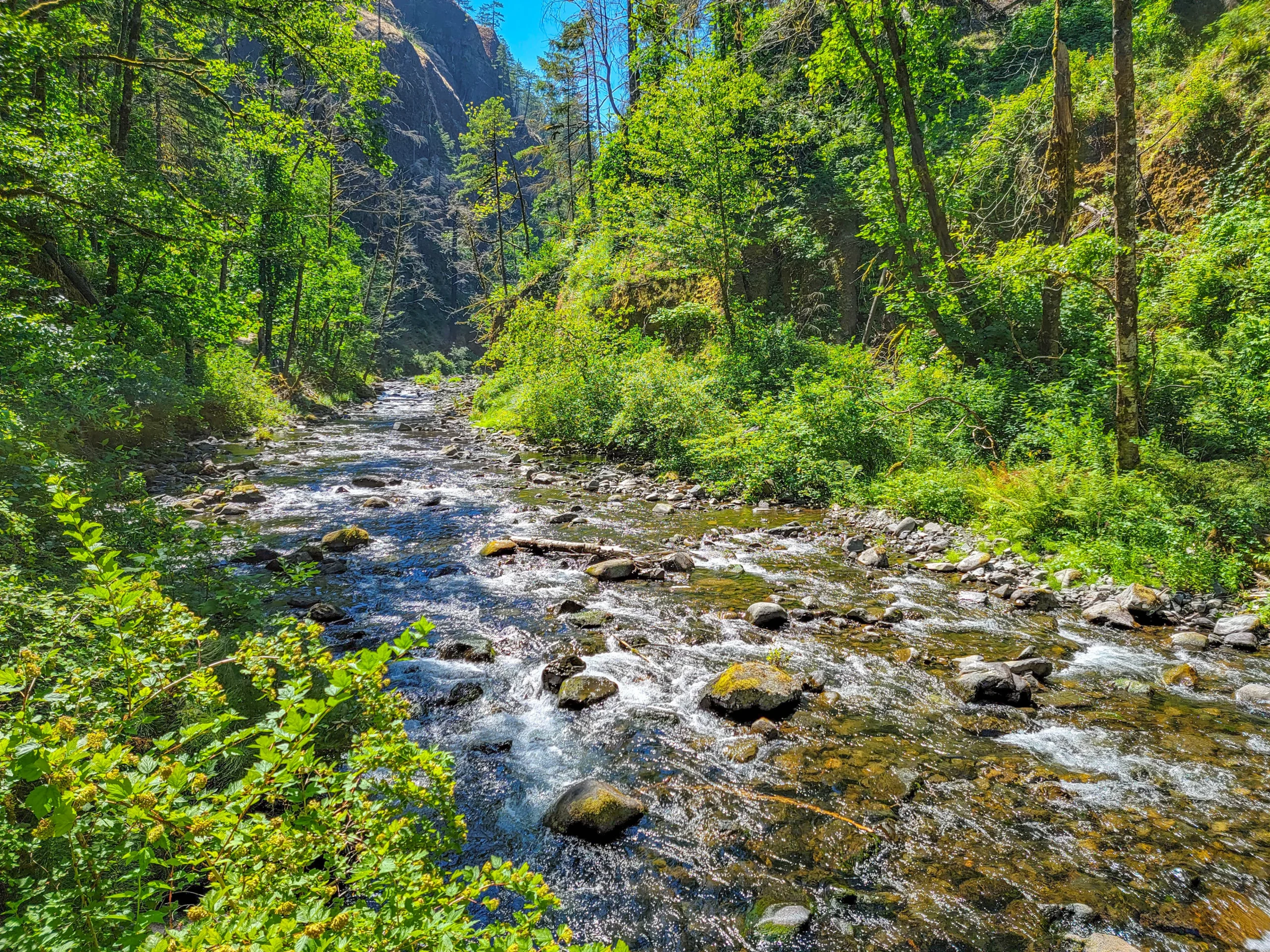
Tanner Creek is the through-line. The trail stays with it the whole way, crossing twice, and in July the water was low, clear, and green over pale cobble.
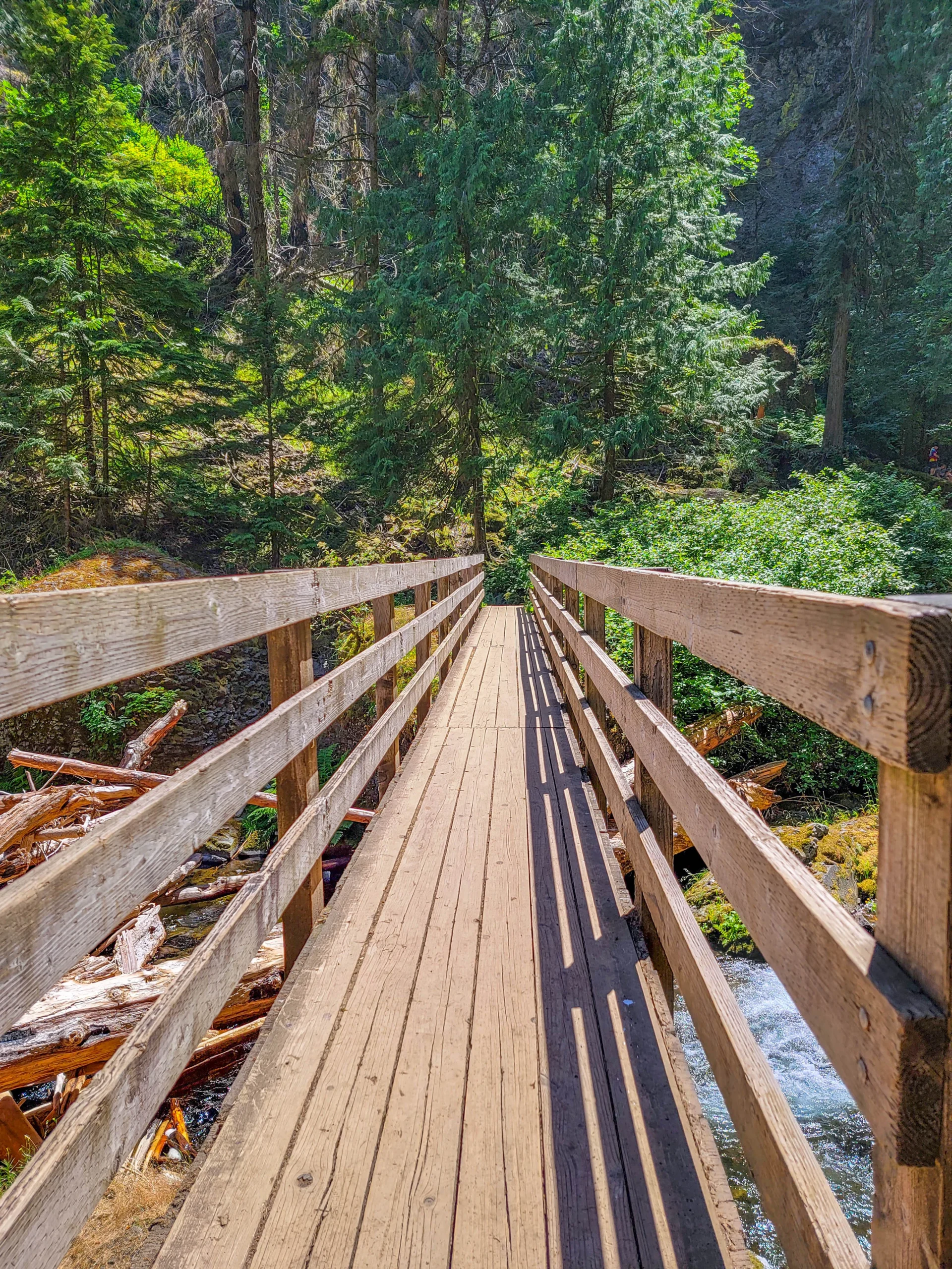
The bridges are new, and you can tell — fresh-milled timber, recent hardware. That’s post-fire reconstruction, and it’s a quiet reminder of how much of this trail had to be rebuilt.
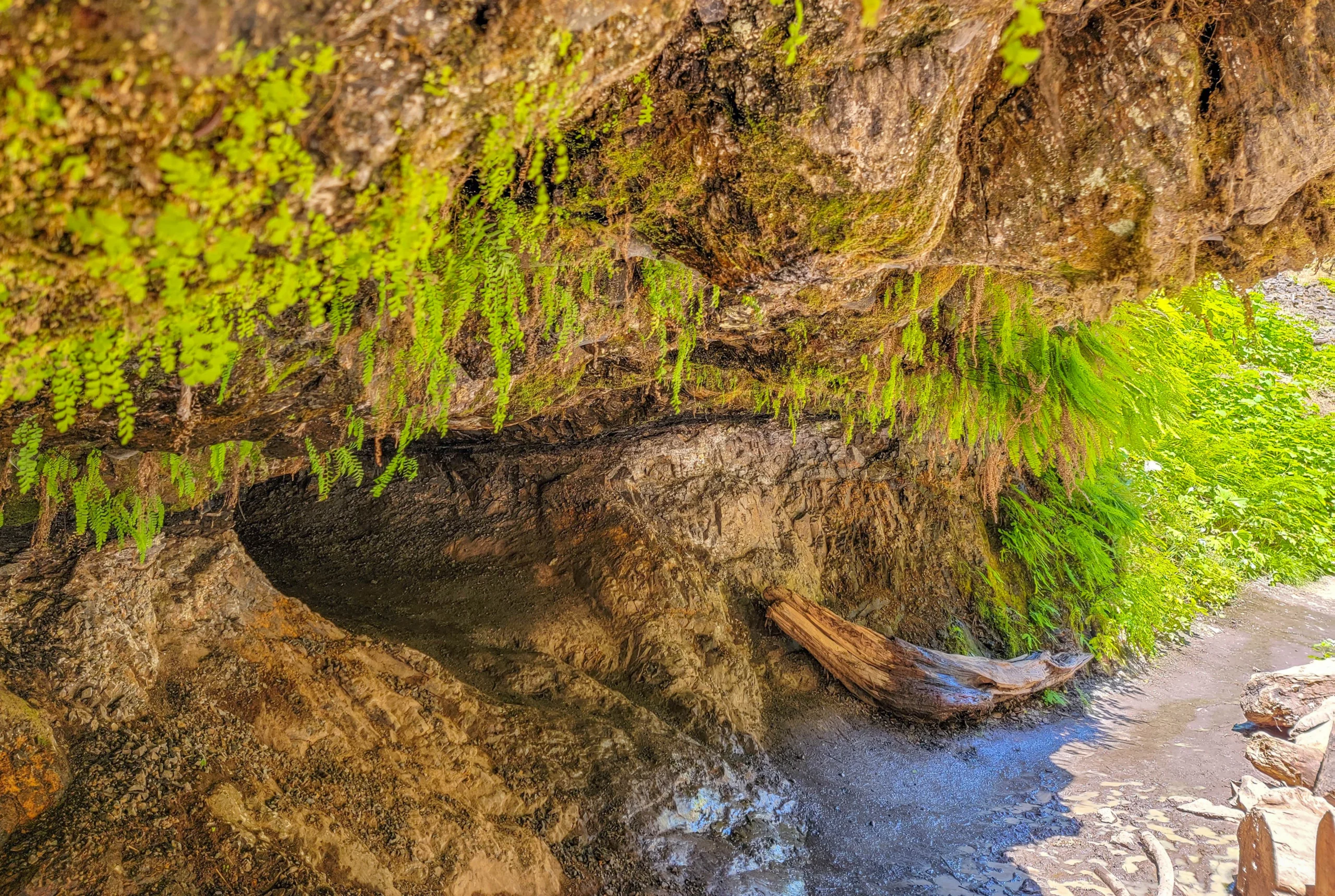
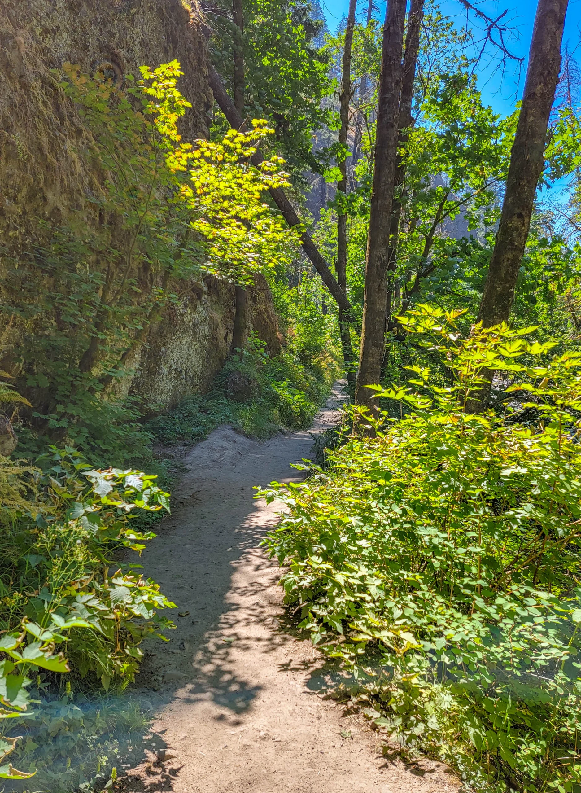
The trail passes under a large basalt overhang, which is the moment the canyon starts feeling serious. The walls close in, the sound of the creek changes, and you’re walking under several hundred tons of columnar rock.
Seep water comes through the rock here and maidenhair fern grows in the drip line — delicate black-stemmed stuff that only survives where it stays wet year round. The fire took the canopy off the ridges but these pockets came through.
The Falls
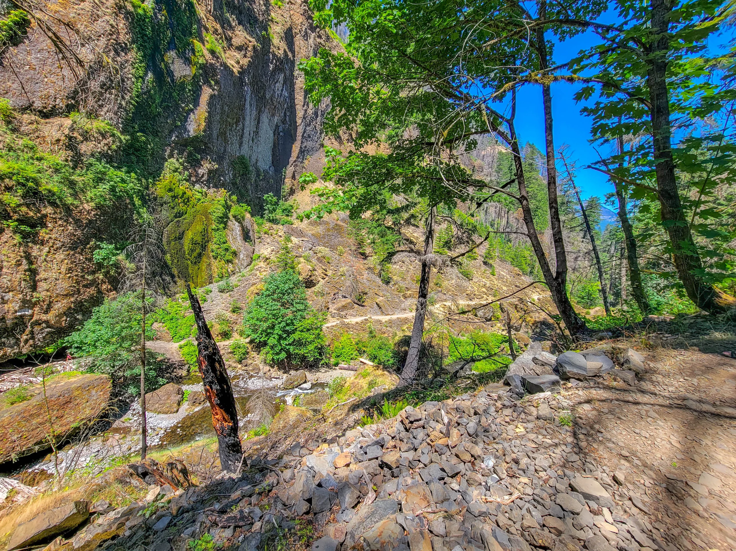
The canyon ends in a bowl, and the approach is blocked by an enormous log jam and a house-sized detached boulder — debris the creek has stacked up over decades of high water.
Wahclella Falls drops in two tiers into an amphitheater of columnar basalt. The upper tier squeezes through a narrow slot; the lower one spreads out into the pool. The rock wraps most of the way around, which is why it feels like a room rather than a viewpoint.
It’s a two-mile walk to something that looks like it should be twenty miles into a wilderness.
Doing Both in a Morning
They’re about fifteen minutes apart on I-84 and together they make a comfortable half day.
| Horsetail Falls | Wahclella Falls | |
|---|---|---|
| Height | 176 ft (54 m) | Two tiers |
| Round trip | Roadside | ~2 mi (3.2 km) |
| Elevation | None | ~300 ft (91 m) |
| Permit | None | Northwest Forest Pass |
| Time | 10 minutes | 1–2 hours |
| Status | Open | Closed as of spring 2026 |
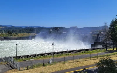
Bonneville Dam sits between them, at Exit 40, and it’s free — we spent half an hour at the Bradford Island fish ladders on the way through.
Photography Notes
Midday sun is the enemy in a basalt canyon. The contrast between lit rim and shadowed floor is beyond what a sensor handles. Overcast is far better, and this is one place where Gorge drizzle is a gift.
Horsetail faces the road and the morning sun. Early or overcast.
Wahclella wants a wide lens — the amphitheater is the subject, not just the water.
Bring a polarizer and a cloth. Wet basalt, spray, and a lot of leaf glare.
The burned ridges photograph better than they sound. Silver snags against new green is a genuinely striking combination, and almost nobody shoots it on purpose.
The maidenhair fern under the overhang is the small subject worth stopping for.
Know Before You Go
Check trail status first. Wahclella was closed through August, 2026 after December 2025 storms.
Wahclella needs a Northwest Forest Pass or America the Beautiful pass. Horsetail is free.
Both lots are small and fill early on summer weekends.
Post-fire hazards are real — falling trees, rockfall, and flash floods stay elevated for years after a burn. Don’t linger under snags in wind.
Stay on the trail. The burned slopes are unstable and the recovery is what’s holding them together.
Multnomah Falls, further west, needs its own timed permit in summer. These two don’t — a separate system that trips up anyone assuming the whole corridor works the same way.
Is It Worth It?
Wahclella, without hesitation. Horsetail, if you’re driving past anyway.
Two miles of easy walking for a two-tier waterfall in a basalt amphitheater is one of the best returns in the Gorge, and the canyon walk in — creek, bridges, overhang, ferns — is as good as the destination. Horsetail is a fine ten-minute stop and a good trailhead for a longer loop, but it isn’t a reason to drive out on its own.
The honest caveat is access. This corridor is still recovering from a fire that burned eight years ago, and it will keep closing after big storms for a while yet. Check first, go when it’s open, and take the fire seriously rather than treating the snags as scenery.
There are a lot of other things to do in the Columbia River area, read about them in our Columbia River Gorge guide.
For current trail conditions and closures, visit the Forest Service page for the Columbia River Gorge National Scenic Area.
0 Comments