

Olympic National Park covers nearly a million acres on Washington’s Olympic Peninsula and holds three distinct ecosystems inside one boundary — glaciated peaks, temperate rainforest, and 73 miles of wild Pacific coastline. It’s big enough that no one visits all of it, and the areas are separated by hours of driving around the outside.
This post covers one day on the north side of the park: Hurricane Ridge, Lake Crescent, and the Sol Duc valley, ending at Sol Duc Falls. That’s a common and very good first day in Olympic, and it’s what we did.
We were there on June 27, 2021 — the second day of the Pacific Northwest heat dome. Portland hit 112°F that day and Seattle 104°F. It was the most extreme heat event in the region’s recorded history, and it shaped the whole visit. More on that below, because it turns out to be relevant advice even in a normal year.
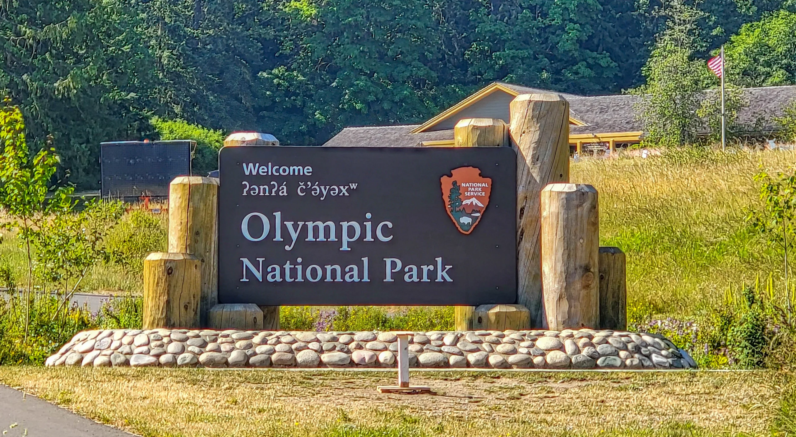
The Olympic National Park entrance sign at Heart o’ the Hills carries the welcome in Klallam — ʔanʔá čʼə́yəxʷ — alongside the English. The Olympic Peninsula is the homeland of the Klallam, Quileute, Hoh, Quinault, Makah, and Skokomish peoples, and the park works with those nations on management and interpretation.
The Basics
- Entrance fee: $30 per vehicle for 7 days; $15 per person on foot or bike; $55 for an Olympic annual pass
- Open: Year round, though most mountain roads are seasonal
- Hurricane Ridge Road: 17 miles from Port Angeles, climbing to 5,242 feet (1,598 m)
- Sol Duc Road: Seasonal, typically closed by snow in winter
- This route: Port Angeles → Hurricane Ridge → Lake Crescent → Sol Duc Falls, an easy full day
(1) Hurricane Ridge
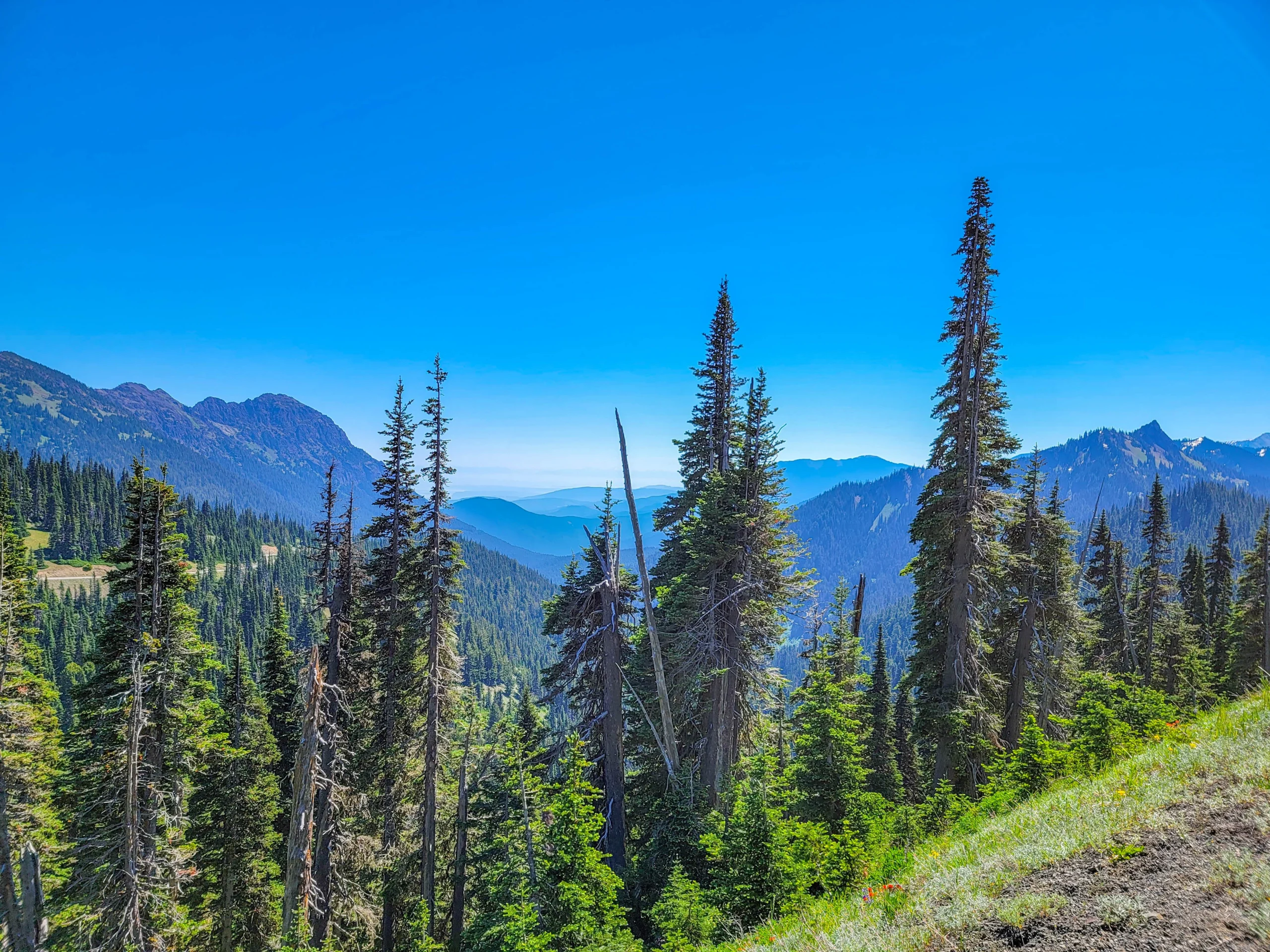
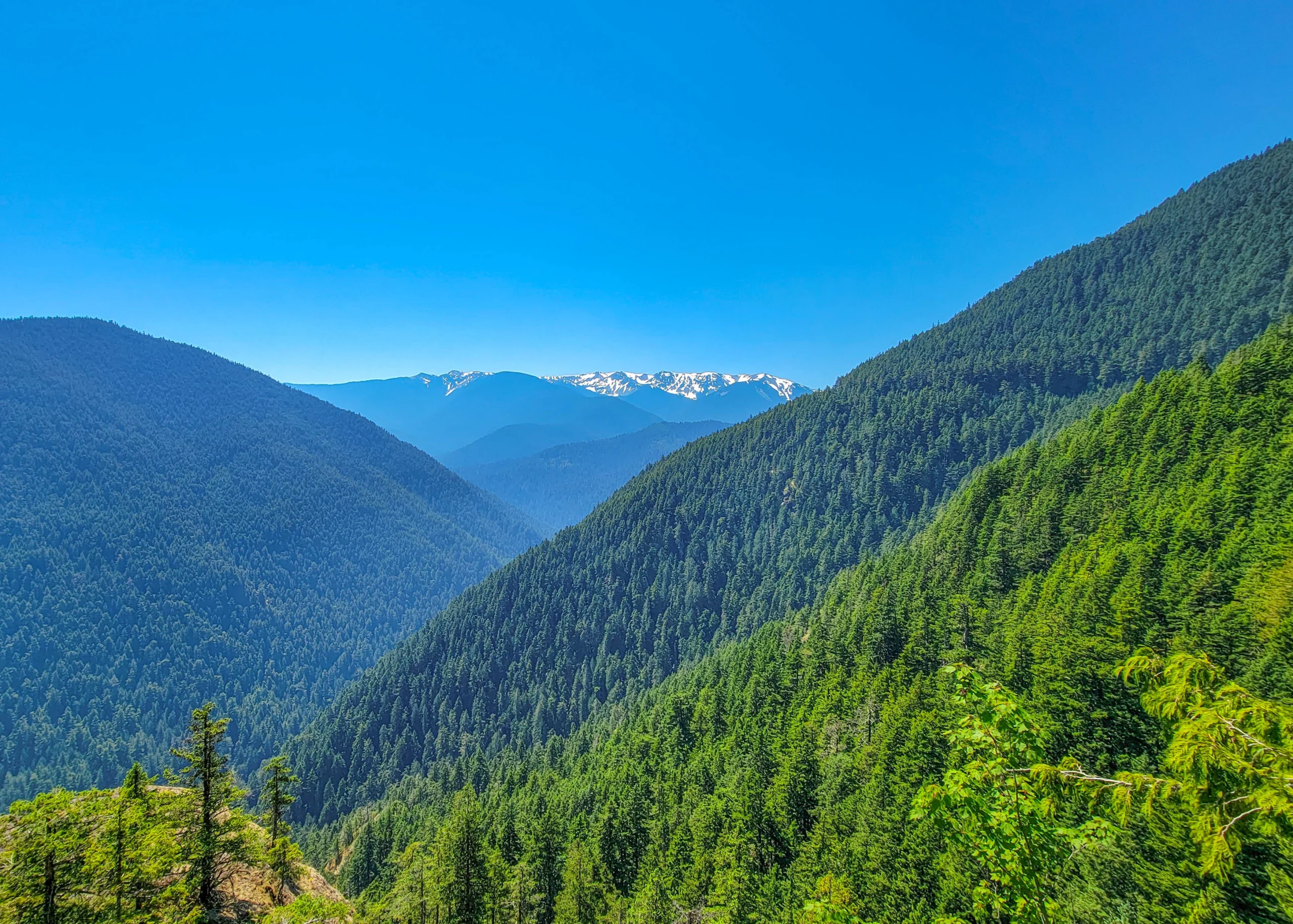
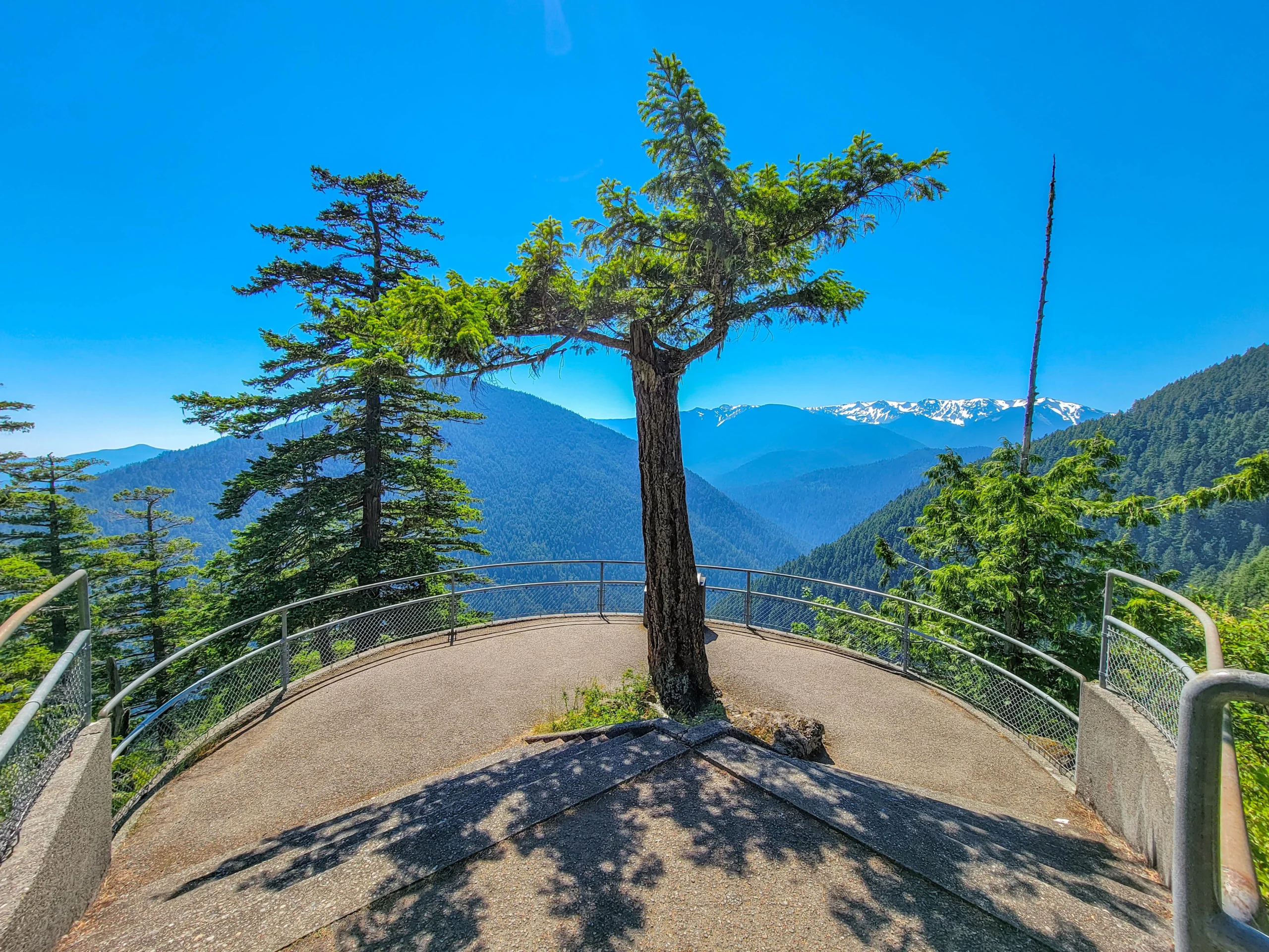
The road from Port Angeles climbs 17 miles and about a mile of elevation to the ridge at 5,242 feet (1,598 m), and it’s the most accessible high country in the park. On a clear day you look south into the heart of the Olympics and north across the Strait of Juan de Fuca to Vancouver Island.
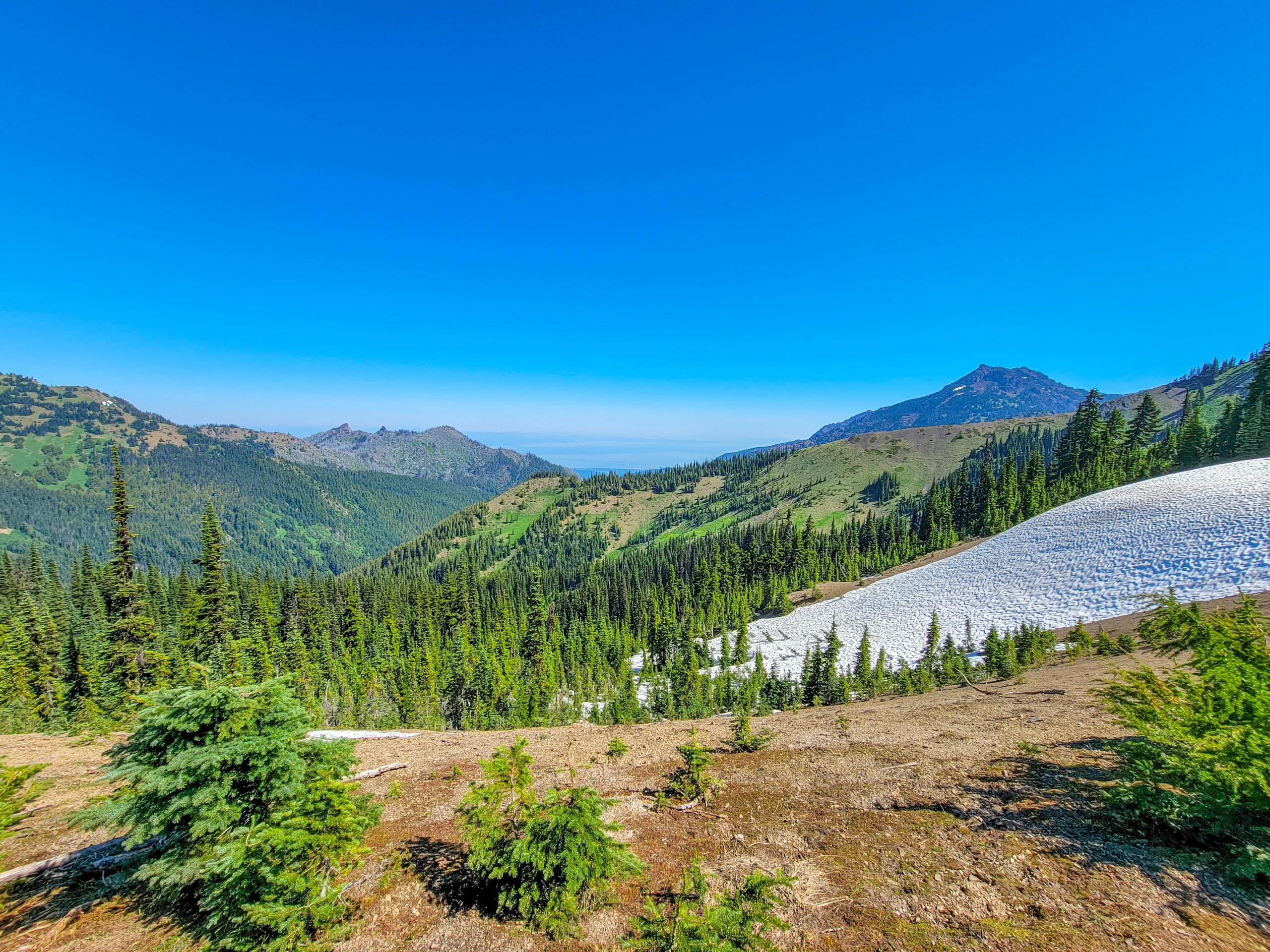
In late June there was still snow lying in the meadows. That’s normal here — the ridge holds snow well into summer, and the wildflower season runs late as a result. The contrast that week was hard to process: record heat in the lowlands, snowfields at the ridge.
The Visitor Center Burned Down
This is the most important thing to know if you’re planning a visit now.
The Hurricane Ridge Day Lodge burned to the ground on May 7, 2023. The building was declared a total loss and the cause was never determined. It had stood since the 1950s.
As of 2026 there is no permanent replacement. Temporary trailers provide restrooms and a visitor contact station, and there are no indoor facilities at the ridge — no café, no warm room, no gift shop. Reconstruction has stalled; an $80 million allocation was announced in October 2023, and the site is still charred remains.
Plan accordingly: bring your own food and water, dress for the weather you’ll actually be standing in, and don’t count on anywhere to warm up. At 5,242 feet the ridge is often twenty degrees colder and far windier than Port Angeles, even in summer.
Also check the road schedule before driving up. In 2026 Hurricane Ridge Road has been closed Monday through Thursday for several weeks after Memorial Day for utility work.
The Road Itself
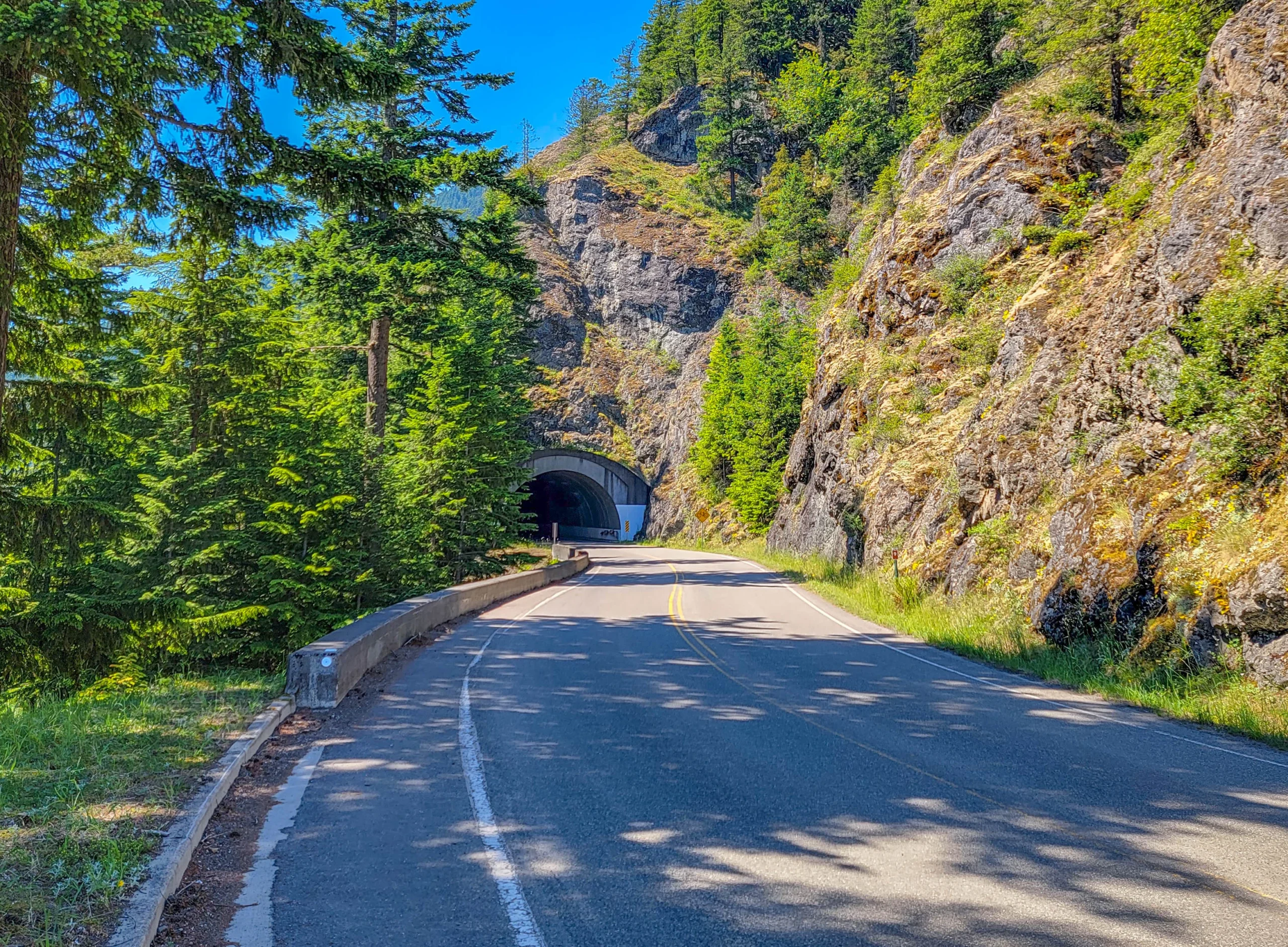
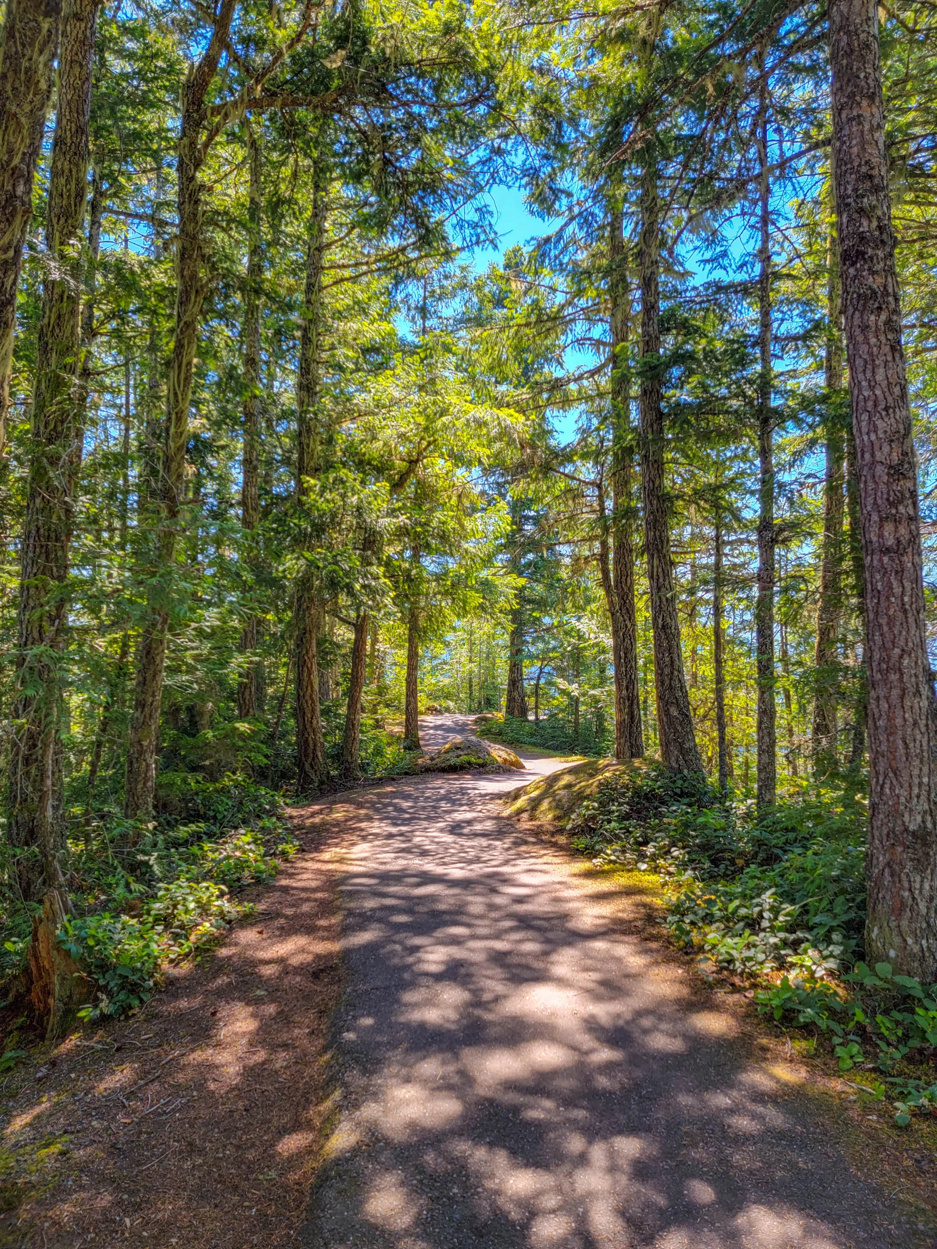
The drive is part of the attraction — switchbacks, three tunnels, and pullouts the whole way up. Stop at them. The views change substantially with every few hundred feet of elevation.
(2) Lake Crescent
Twenty miles west of Port Angeles on Highway 101, Lake Crescent is a glacially carved lake with a maximum depth of 624 feet (190 m) and water clear enough that you can see the bottom drop away from shore.
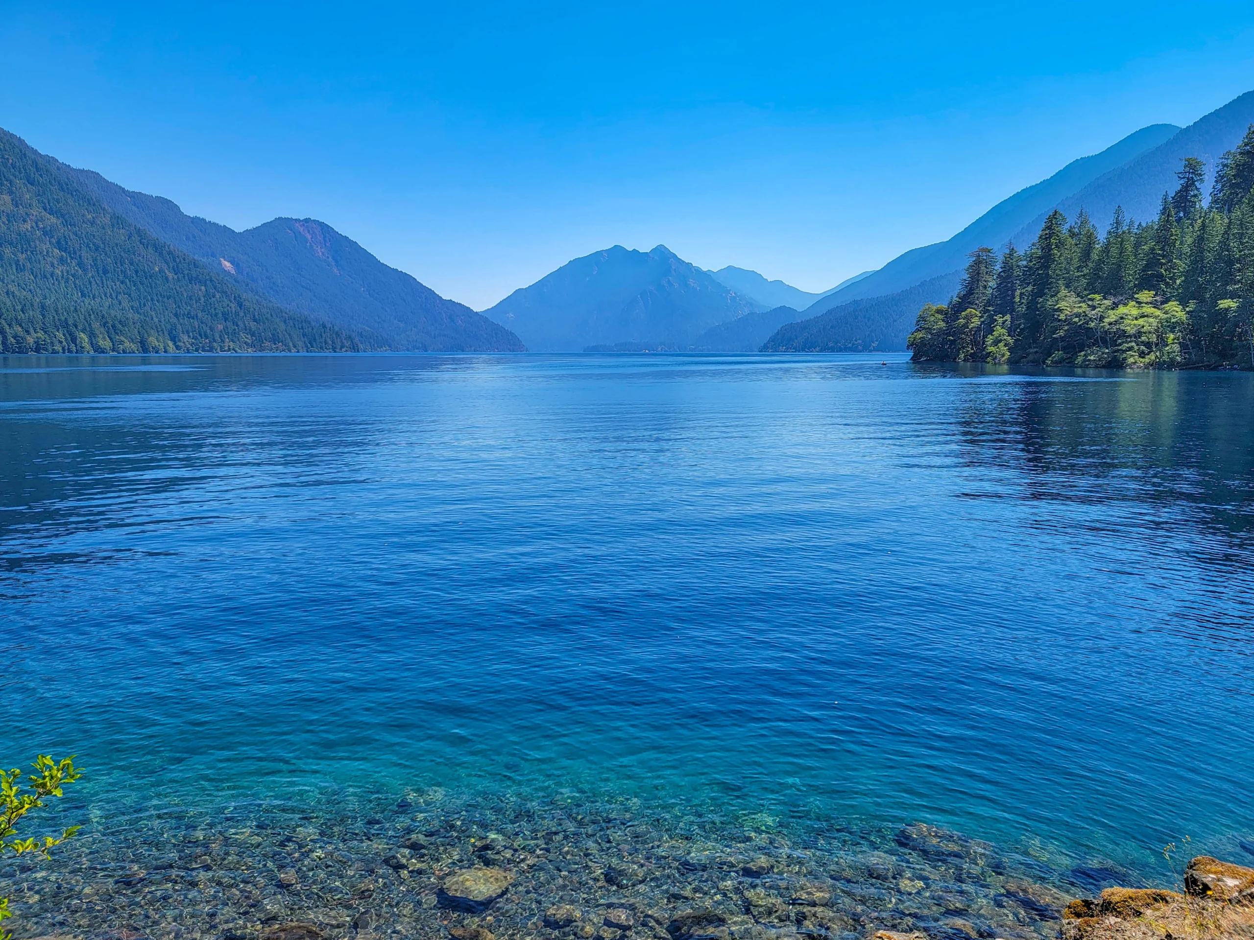
The clarity isn’t an accident. The lake is unusually low in nitrogen, which limits algae growth, and the result is that startling blue.
It’s a natural stop between Hurricane Ridge and Sol Duc, and the highway runs along the south shore with pullouts. Lake Crescent Lodge, Storm King Ranger Station, and Marymere Falls trail are all here if you have more time.
(3) The Sol Duc Valley
Turn south off Highway 101 onto Sol Duc Road and the character of the park changes completely. You’ve left the alpine and the lake behind and dropped into low-elevation old-growth forest along the Sol Duc River.
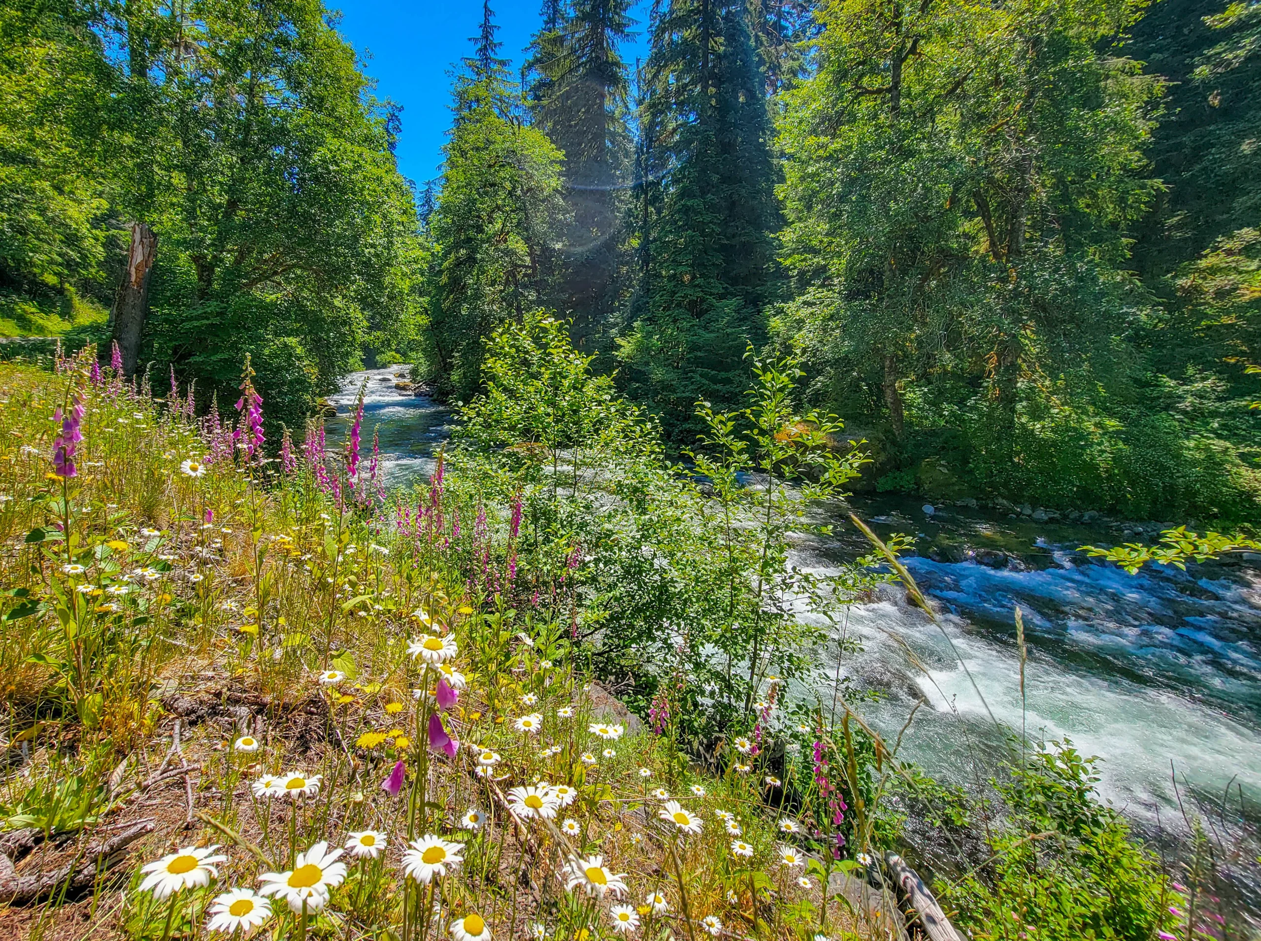
The road follows the river for about 14 miles to the trailhead, and it’s worth stopping repeatedly. Foxglove and oxeye daisy line the verges in early summer, and the river runs clear over bedrock.
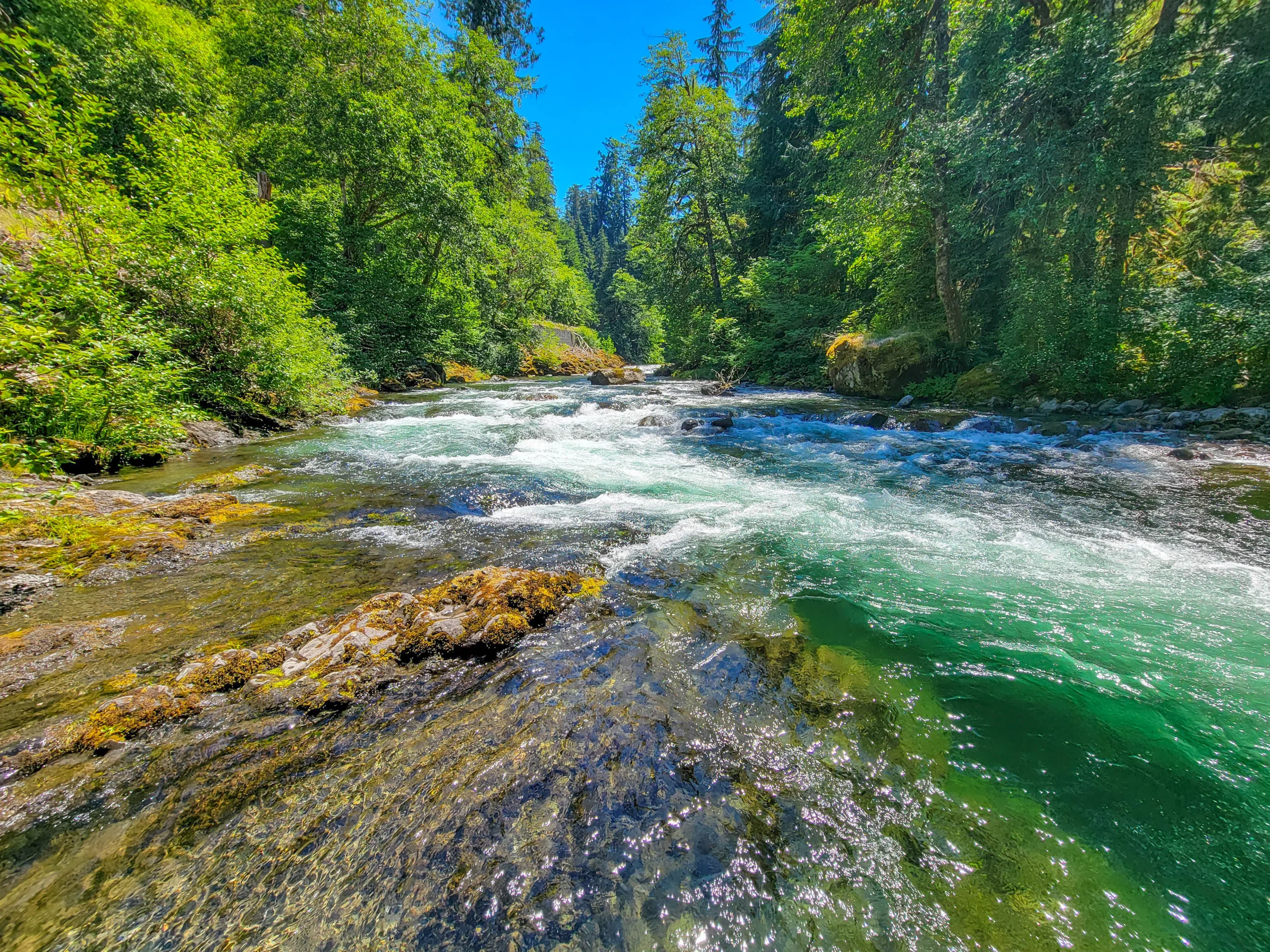
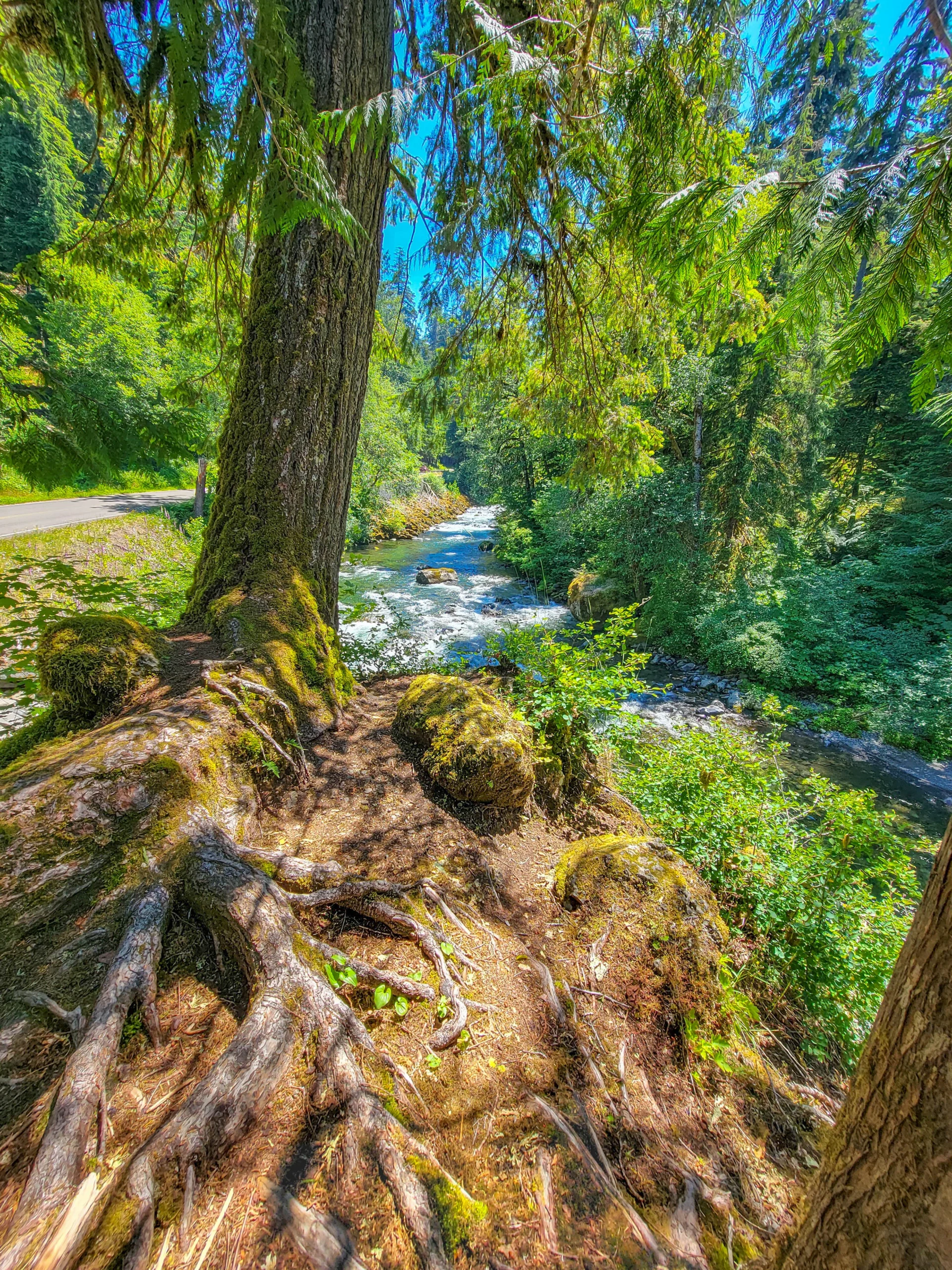
Sol Duc Hot Springs Resort is on this road, with developed mineral pools, cabins, and a restaurant. Worth knowing about if you want a soak or a base inside the park.
(4) Sol Duc Falls
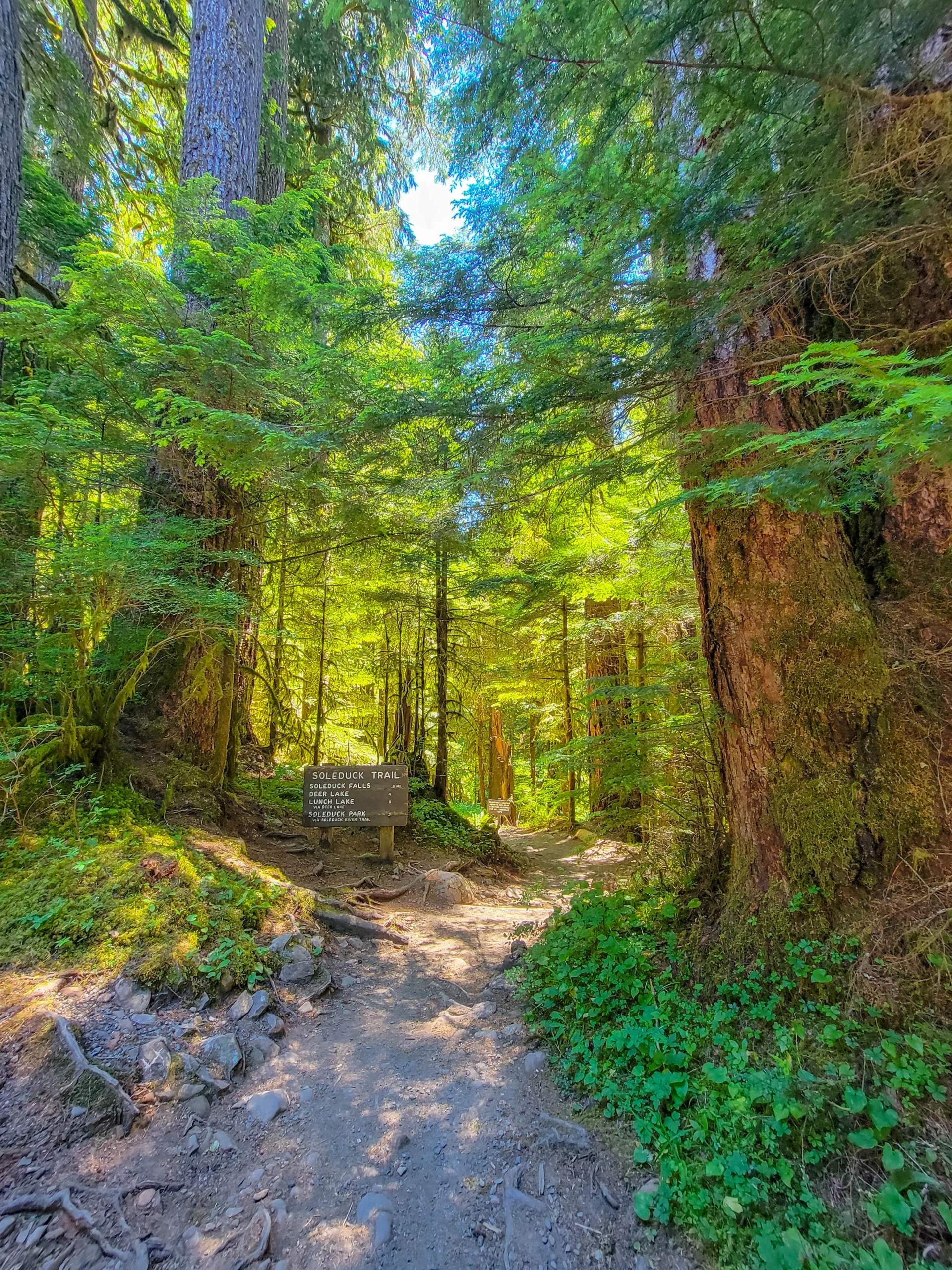
This is the hike, and it’s an easy one: 1.6 miles (2.6 km) round trip with about 200 feet (61 m) of elevation gain. The sign at the trailhead reads 0.8 miles to the falls, and the same junction points on toward Deer Lake, Lunch Lake, and the Seven Lakes Basin for anyone going further.
A note on the spelling. You’ll notice the sign reads Soleduck while every map says Sol Duc. Both render the same Quileute word — /só:liɬt’aqʷ/, meaning “sparkling waters” — written down phonetically by settlers who spelled it as the two English words it sounded like. Soleduck was the official spelling until 1992, when the Washington State Board on Geographic Names standardized it to Sol Duc. Maps and publications changed; the old wooden trail signs mostly didn’t.
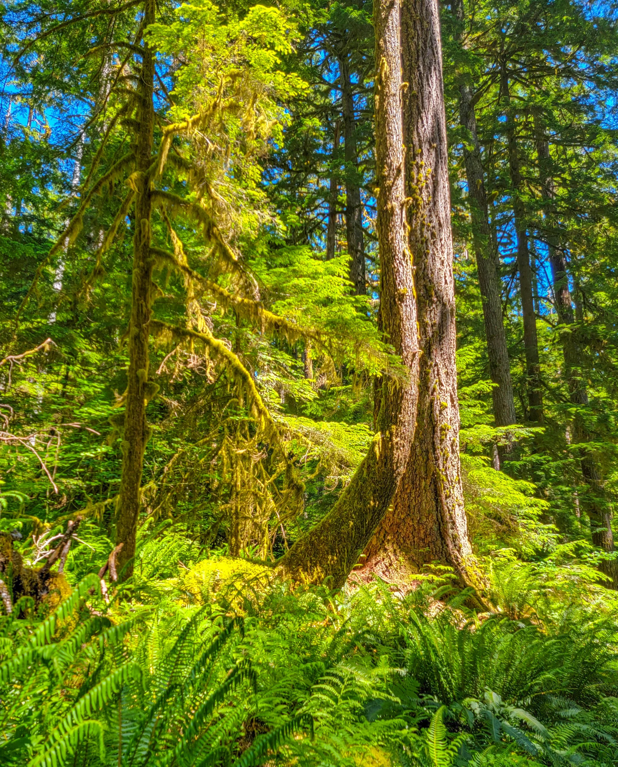
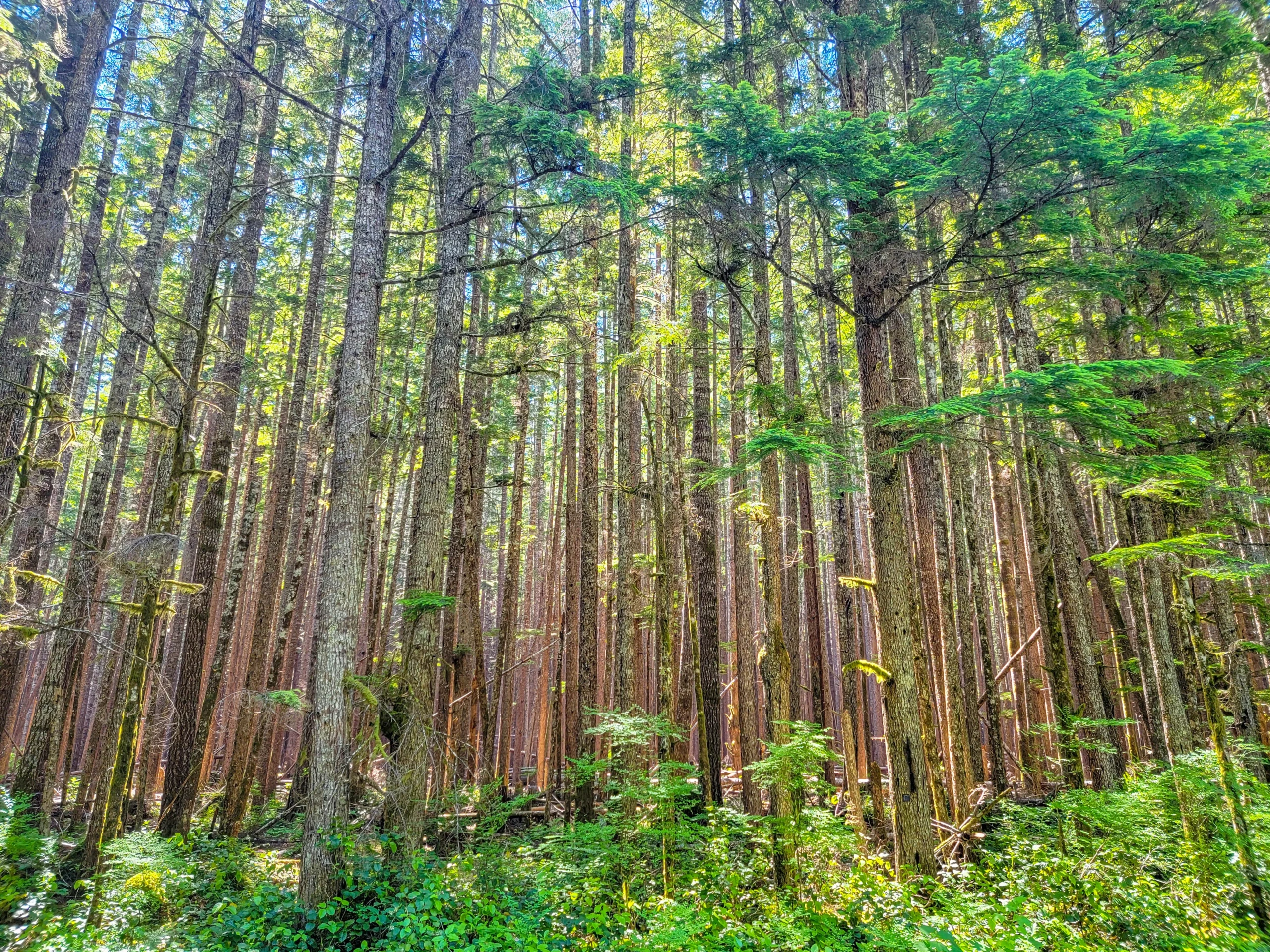
The trail runs through genuine low-elevation old growth — Douglas fir, western hemlock, and western red cedar, with moss on everything and sword fern filling the floor.
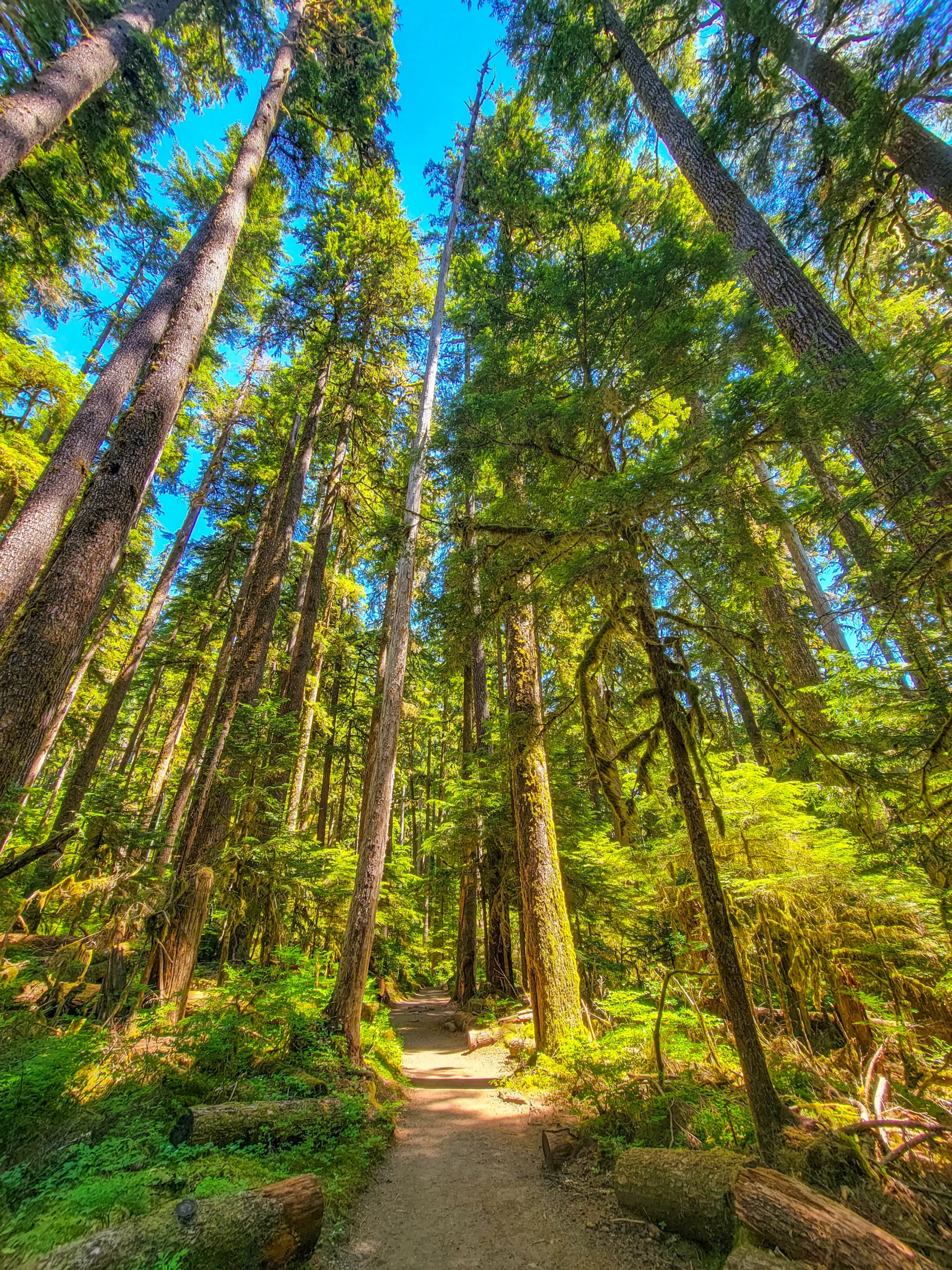
It’s wide, well graded, and shaded the entire way, which mattered a great deal on the day we walked it.
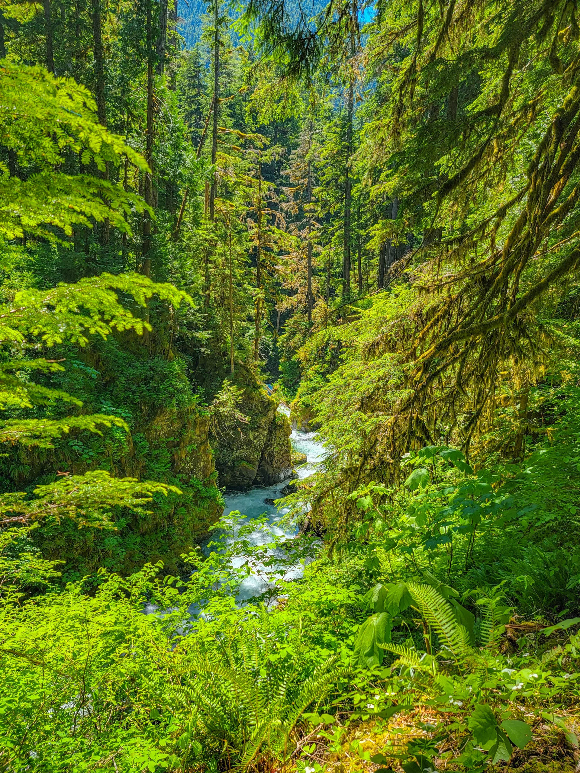
Then the river drops into a narrow slot canyon and the falls arrive.
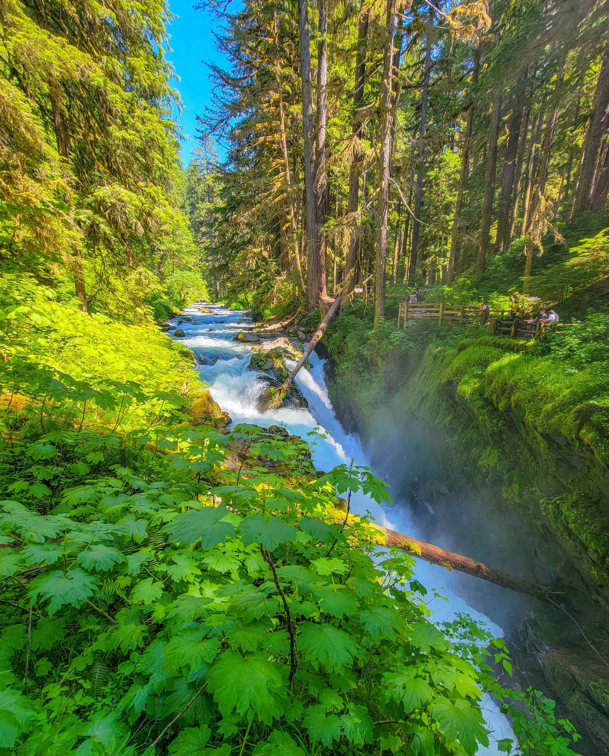
Sol Duc Falls splits into three or four channels — the number depends on flow — and drops into a mossy chasm at close to a right angle to the river above it. A footbridge crosses directly over the canyon just below, which is the classic viewpoint and the reason this is one of the most photographed waterfalls in Washington.
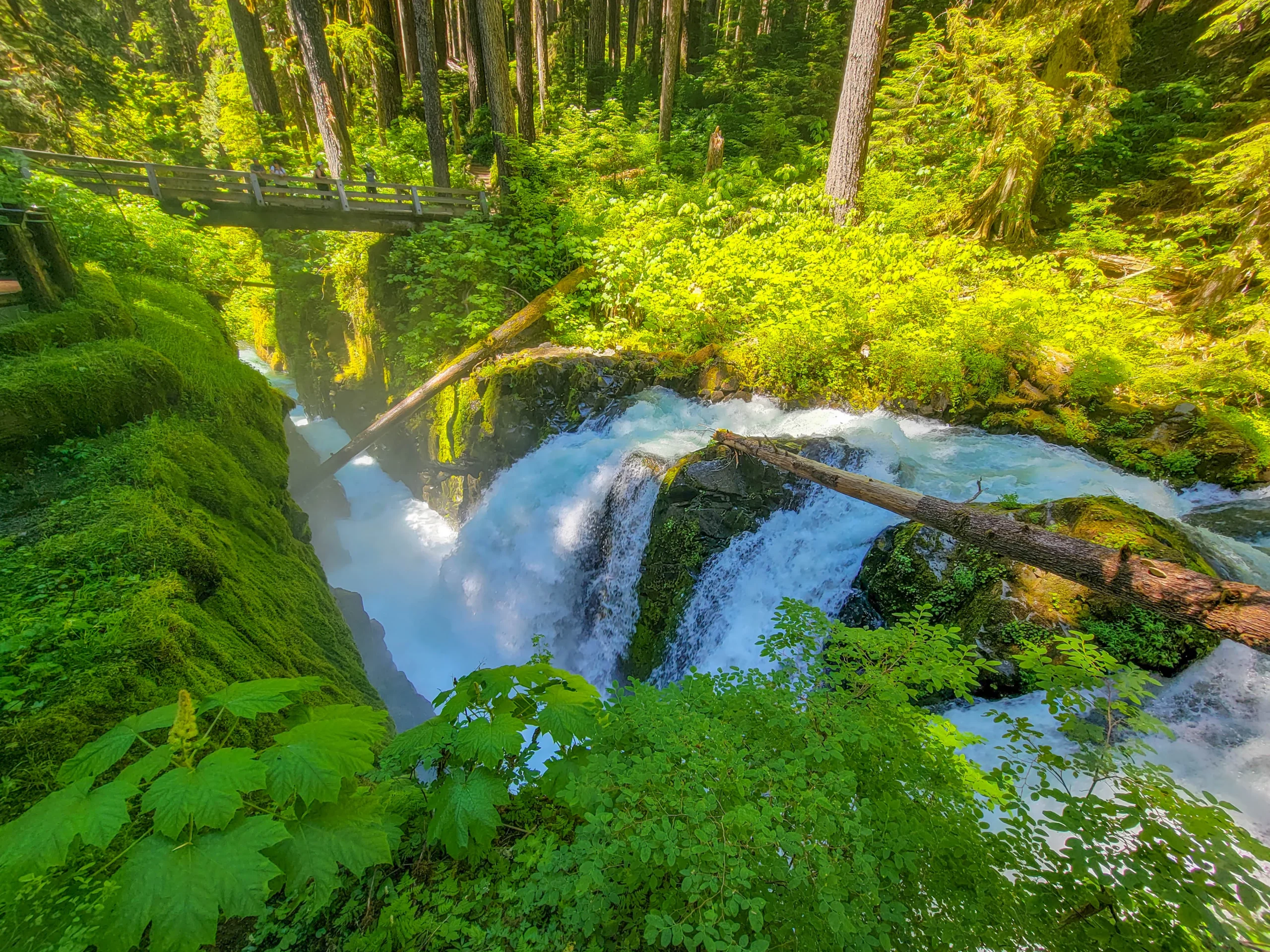
The mist coming out of the slot is substantial. Expect a wet lens.
What the Heat Dome Taught Us
Most Olympic guides assume the weather you expect here: cool, gray, damp. Ours was the opposite, and the lesson generalizes.
The park’s three ecosystems have wildly different weather on the same day. While the lowlands baked, Hurricane Ridge still had snow in the meadows and a cold wind. The Sol Duc valley under old growth was pleasant. The coast, forty miles west, would have been cooler again.
That’s a planning tool, not just trivia. If conditions are bad in one part of Olympic, drive to a different elevation rather than writing off the day. On a hot day, go to the rainforest or the coast. On a wet gray day, the forest is at its best and the ridge is pointless. We shifted from open alpine in the morning to shaded river valley in the afternoon, and it worked.
On extreme heat specifically: the 2021 event killed hundreds of people across the Pacific Northwest, and it isn’t a curiosity. If you’re visiting during a heat advisory, hike early, stay in the forest, carry far more water than you’d expect, and skip exposed ridgeline trails entirely.
Photography Notes
- Sol Duc Falls is a slow-shutter subject and the canyon is dark enough to manage it even at midday. A tripod and a polarizer earn their weight here.
- The mist will coat your lens within a minute at the bridge. Bring a cloth and check between frames.
- Hurricane Ridge is a wide-angle place but the interest is in the layers — shoot ridgelines receding, not one broad panorama.
- Old growth wants overcast. We had hard sun and the forest shots fought us for it. Grey skies would have been better.
- Lake Crescent’s color reads best from slightly above the water rather than at shore level.
Know Before You Go
- The park is enormous and the areas don’t connect directly. Hurricane Ridge to the Hoh Rain Forest is over two hours by road. Don’t plan a day that crosses the entire park.
- There are no indoor facilities at Hurricane Ridge since the fire. Bring food, water, and layers.
- Sol Duc Road is seasonal and closes with snow. Check status in shoulder season.
- Dogs are not permitted on most Olympic National Park trails, including Sol Duc Falls.
- Cell service is nonexistent across most of the park.
- Fill your tank in Port Angeles or Forks. Fuel inside the park is limited to nonexistent.
- Sol Duc Falls is popular. The trailhead lot fills midday in summer; early morning or late afternoon is quieter.
Is It Worth It?
Yes — and this particular combination is the best single day on the north side of the park.
You get high alpine with snow and mountain views, a glacial lake with remarkable water, and an easy old-growth walk to a genuinely spectacular waterfall, all within a couple of hours of driving. If you have one day in Olympic National Park and you’re coming from Port Angeles or the ferry, this is the day to take.
The caveats are logistical rather than about the park: Hurricane Ridge has no facilities since the fire, the road has weekday closures some seasons, and Sol Duc Road is seasonal. Check all three before you commit.
For other ideas and things to do on the Olympic Peninsula, check out our Olympic Peninsula Guide.
For current road status, closures, and conditions, visit the National Park Service pages for Olympic NP and Visiting Hurricane Ridge.

0 Comments