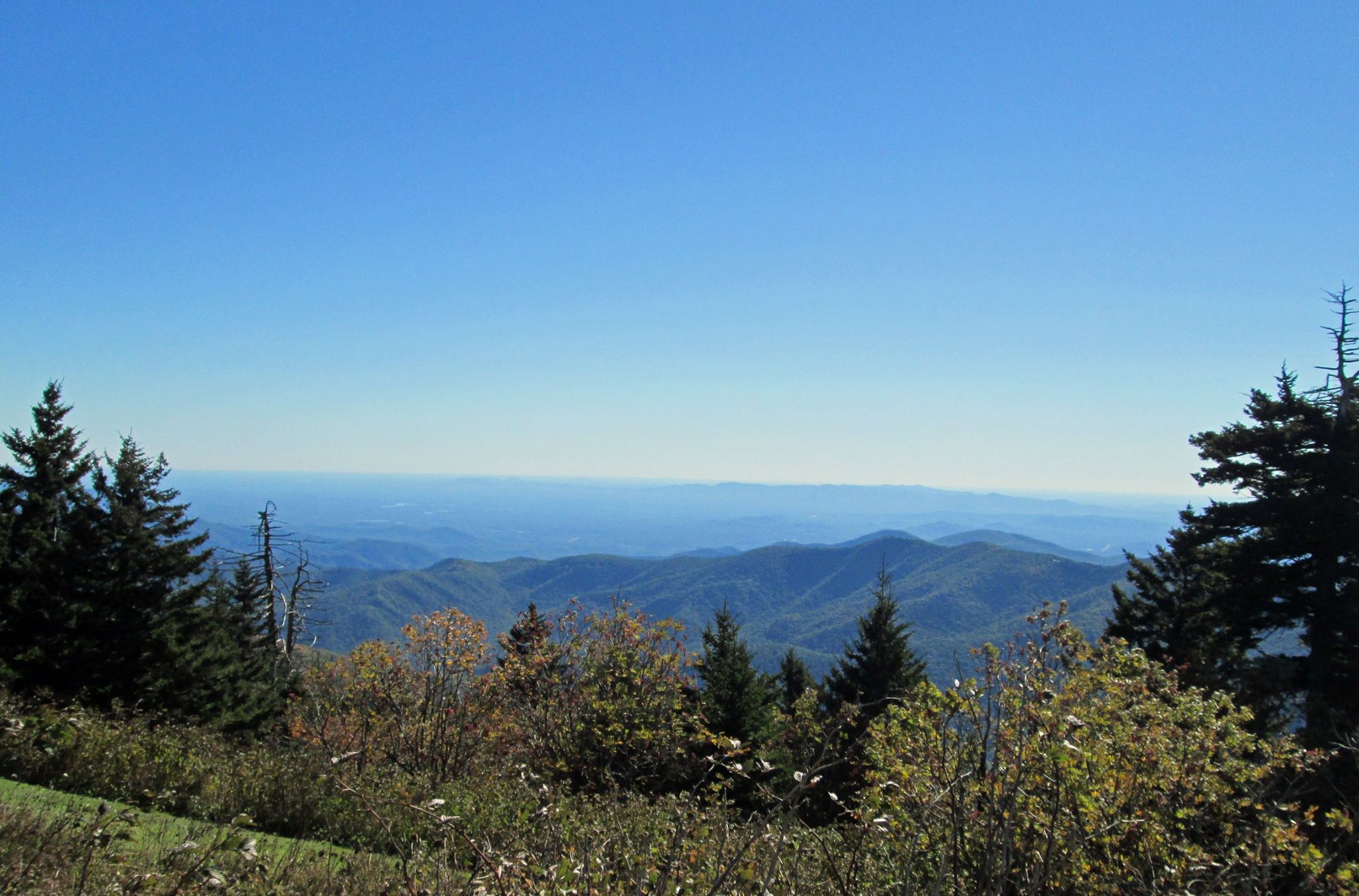
Mount Mitchell (elevation 6,684 feet) is the highest point east of the Mississippi River. Because of the altitude, many of the plants and animals are like those native to alpine environments of Canada. Because of it’s height and location, Mount Mitchell makes a great hike over a challenging 6 mile trail to a very scenic view. For an easier day, you can also park at the peak for a short 1/4 mile hike to the viewing platform or preposition a car at the top to facilitate a one-way hike.
We hiked Mount Mitchell on a very chilly spring day, and quickly found out a lot of the peak isn’t sheltered from the wind. There was a really cold wind cutting across the peak, but that didn’t make the views any less spectacular! There are great signs at the top that identify all the major peaks in the area, in each of the four compass directions.
Mount Mitchell is located 35 miles Northeast of Asheville, NC, along a very scenic Blue Ridge Parkway. Asheville is a great town, with a ton of great microbreweries, and makes a great jumping off point for this and other hikes.
[gallery_bank source_type=”gallery” id=”19″ layout_type=”slideshow_layout” alignment=”center” slideshow_width=”800″ auto_play=”yes” time_interval=”5″ order_images_by=”sort_asc” sort_images_by=”sort_order” slideshow_filmstrips=”show” control_buttons=”show” gallery_title=”show” gallery_description=”show” thumbnail_title=”show” thumbnail_description=”show” filters=”disable” lazy_load=”disable” search_box=”disable” order_by=”disable” animation_effects=”fadeIn” special_effects=”none”][/gallery_bank]


0 Comments