
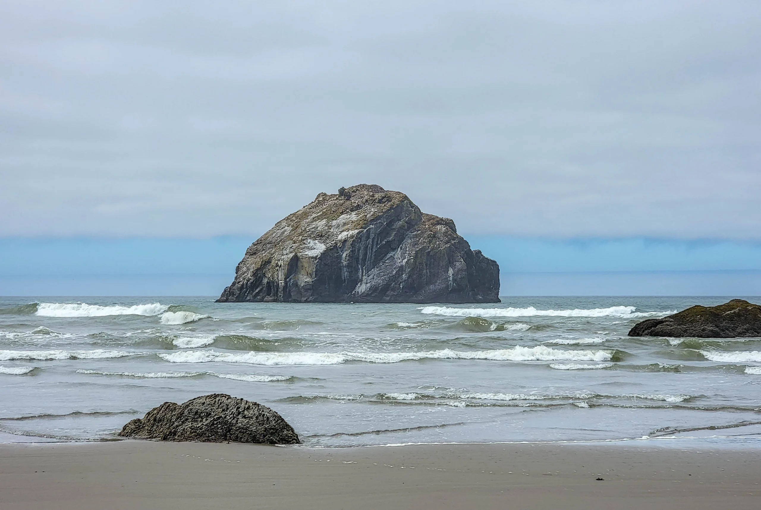

Bandon Beach is a wide sand beach on the southern Oregon coast, scattered with sea stacks — the eroded remnants of headlands that once stood further out. The best known is Face Rock, a basalt stack roughly 70 feet (21 m) tall that, from the right angle, looks like a face turned up to the sky.
Access is free, the parking lot is a few minutes off Highway 101, and the whole thing works as a one-hour stop or a half-day walk depending on the tide.
The tide is the only variable that matters. At high water the stacks stand offshore and you look at them. At low water the beach opens up and you walk among them. Same place, completely different visit.
We came down in the early afternoon on a July day and had about twenty-five minutes of walking before the light went flat — enough to get from the stairs out to the far stacks and back.
The Basics on Face Rock State Scenic Viewpoint
- Where: Face Rock State Scenic Viewpoint, Beach Loop Drive, Bandon, Oregon
- Fee: None
- Hours: Day use
- Facilities: Parking, plumbed restrooms, interpretive signs
- Accessibility: The clifftop viewpoint path is paved and accessible. The beach is reached by stairs, which are not.
- Dogs: Permitted on leash
- Time needed: 30 minutes at the overlook; 2 hours if you walk the beach
- Best conditions: Low tide, and either end of the day
Beach walks run roughly 3.3 miles (5.3 km) among the near stacks, or about 7.4 miles (11.9 km) if you continue north along the full run of them.
One Rule That Matters
Every rock surrounded by water at high tide is part of the Oregon Islands National Wildlife Refuge, and landing on them is illegal.
At low tide the stacks look walkable, and some of them are — right up until you’re standing on a refuge island. The rocks are seabird nesting habitat, and the same refuge protects Shell Island and Simpson Reef up at Cape Arago.
Walk the sand around them. Don’t climb.
Oregon State Parks says the same thing on its own page for the viewpoint: the rocks and tidal flats here are refuge land because they’re important bird nesting habitat.
Face Rock and the Cat and Kittens
Face Rock is a Coquille story, and the version you’ll hear varies depending on who’s telling it.
The common thread: Ewauna, daughter of Chief Siskiyou, went down to the sea at night against warnings about Seatka, an evil ocean spirit whose gaze could enslave anyone who met it. Seatka took hold of her. She refused to look at him, keeping her eyes on the sky — and that’s where her face remains.
In most tellings she brought animals with her. The small rocks near Face Rock are the Cat and Kittens, and some versions add her dog Komax, who swam out with the basket and was turned to stone on the beach.
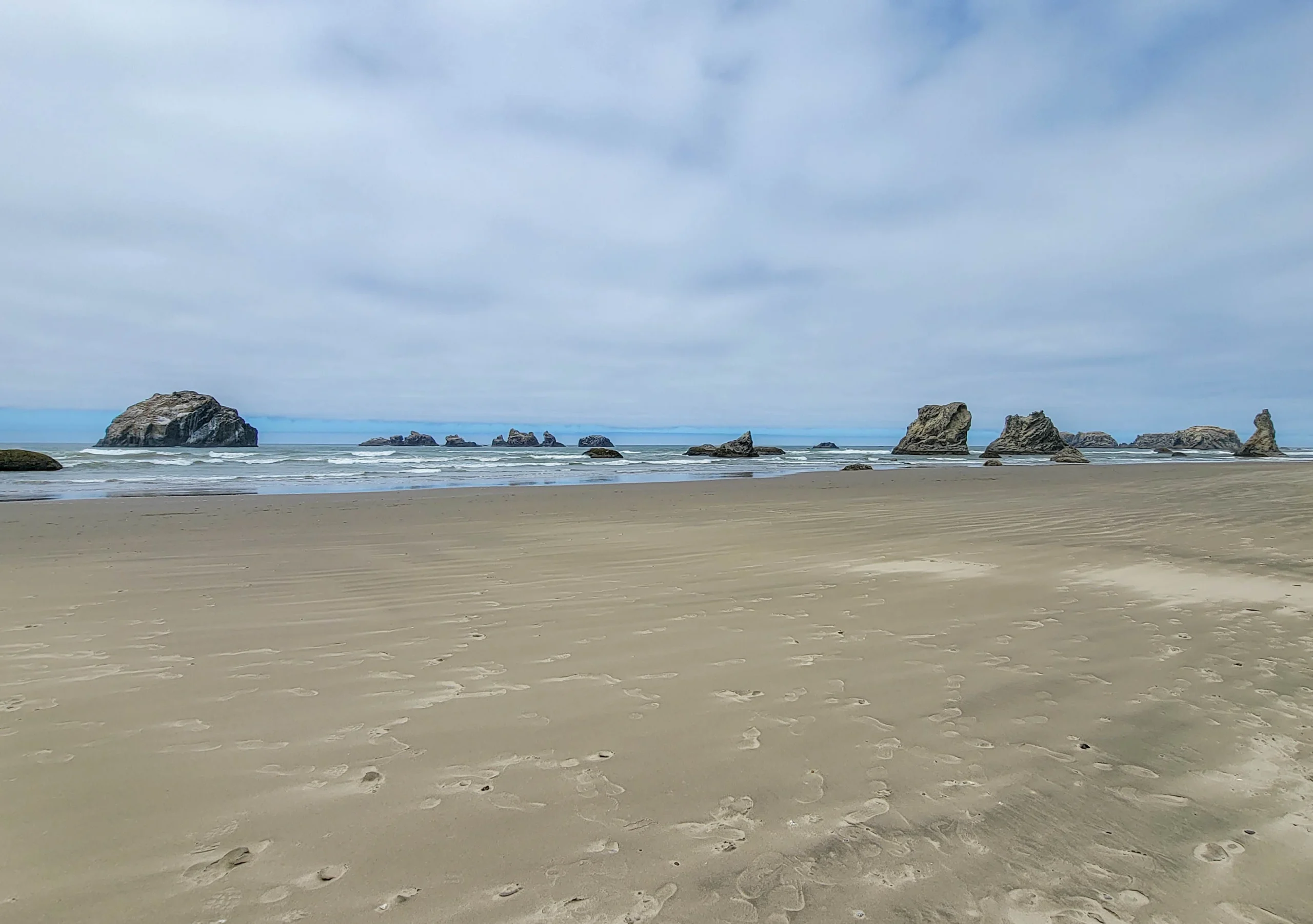
Accounts differ on the details, including which side the Cat and Kittens sit on — that depends on where you’re standing. From the beach below the viewpoint they’re immediately to the left of Face Rock.
It’s worth knowing this is a story belonging to the Coquille people rather than generic coastal folklore, and worth telling it that way.
The viewpoint itself is younger than the story by a long way. J. F. Kronenberg of Bandon gave the original land to the state in 1931, more was bought in 1964, and it was called the Bandon Ocean Wayside before it took the name of the rock.
Most of the stacks here are unnamed, but three are worth knowing: Face Rock, the Cat and Kittens just beside it, and Wizard’s Hat, the sharp cone further right. Everything else is just rock, which is fine — there’s a lot of it.
The practical part: Face Rock only looks like a face from certain angles. From the viewpoint on the bluff it’s clear. From further along the beach it’s just another large stack. If you can’t see it, move to a different vantage point.
Walking the Beach
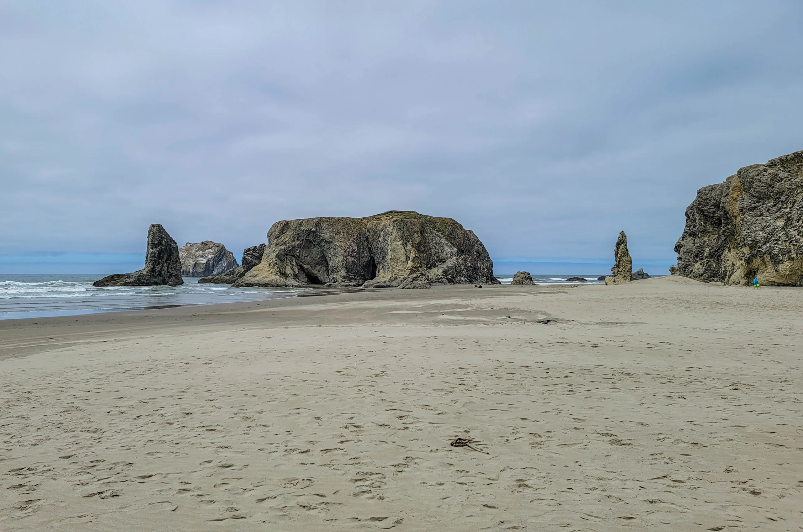
Take the stairs down from the south end of the viewpoint and head north. Within a few minutes you’re in among them.
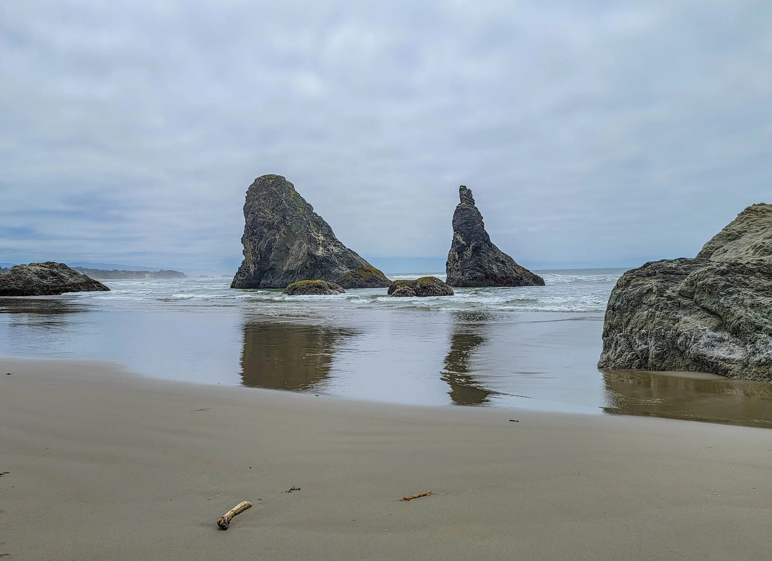
Wet sand is the reason to come at low tide and not only for access. The reflections do half the work in any photograph here, and they only exist on the ebb.
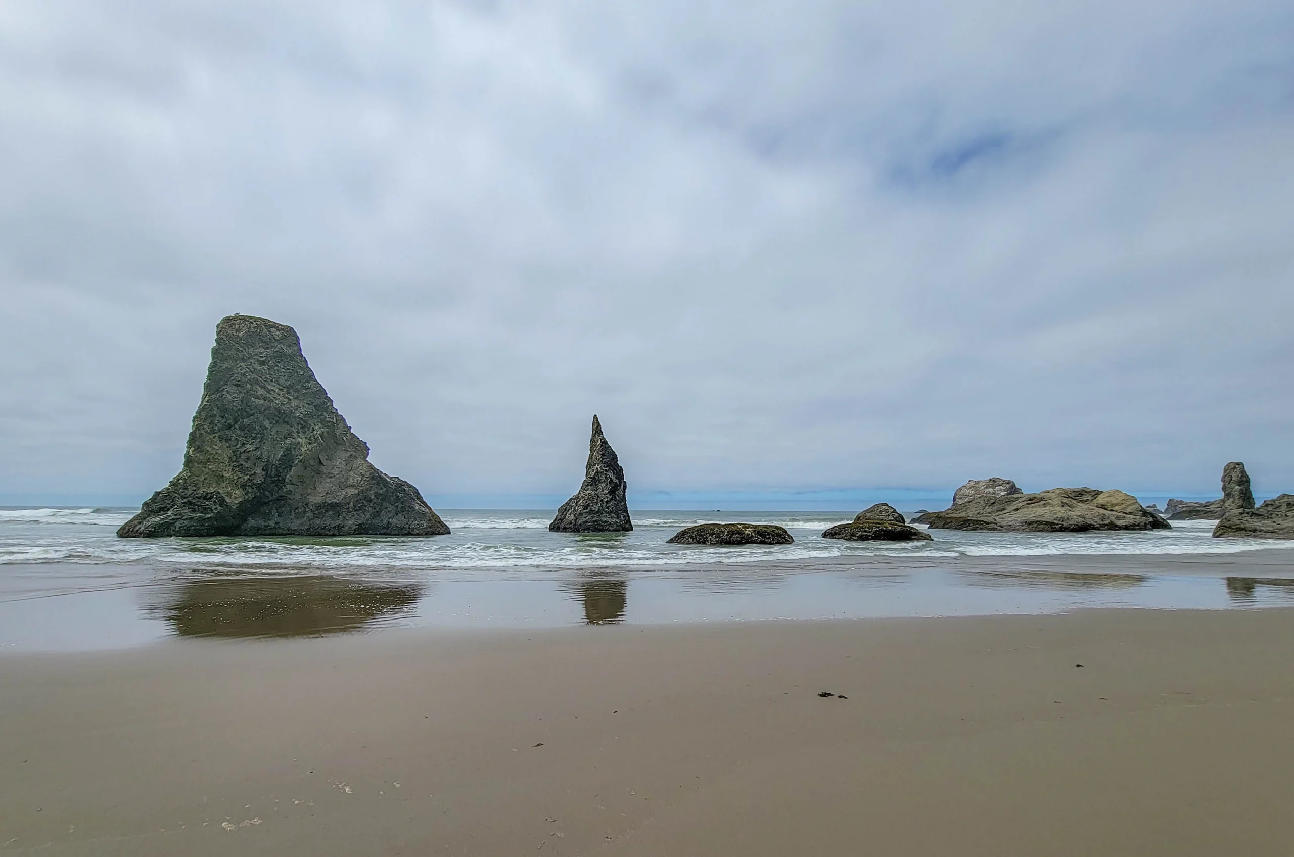
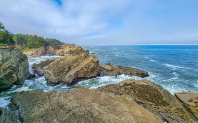
The shapes are the appeal. Some are broad and blunt, some are thin spires, and a few carry grass and wildflowers on top where nothing can reach them.
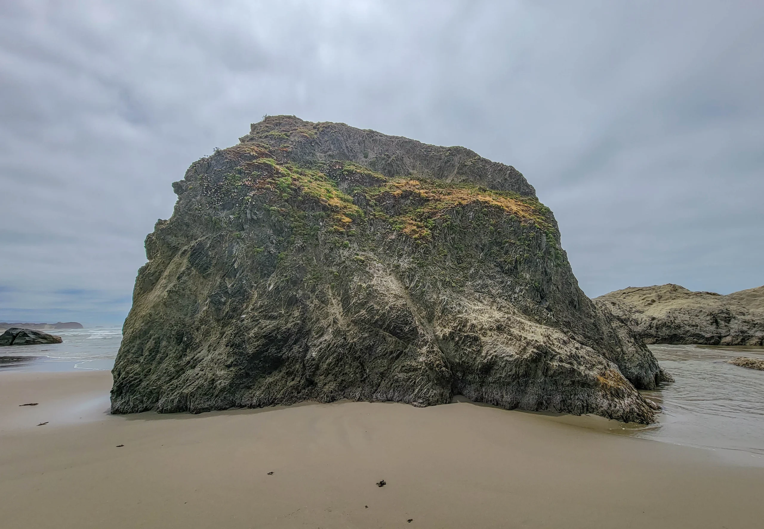
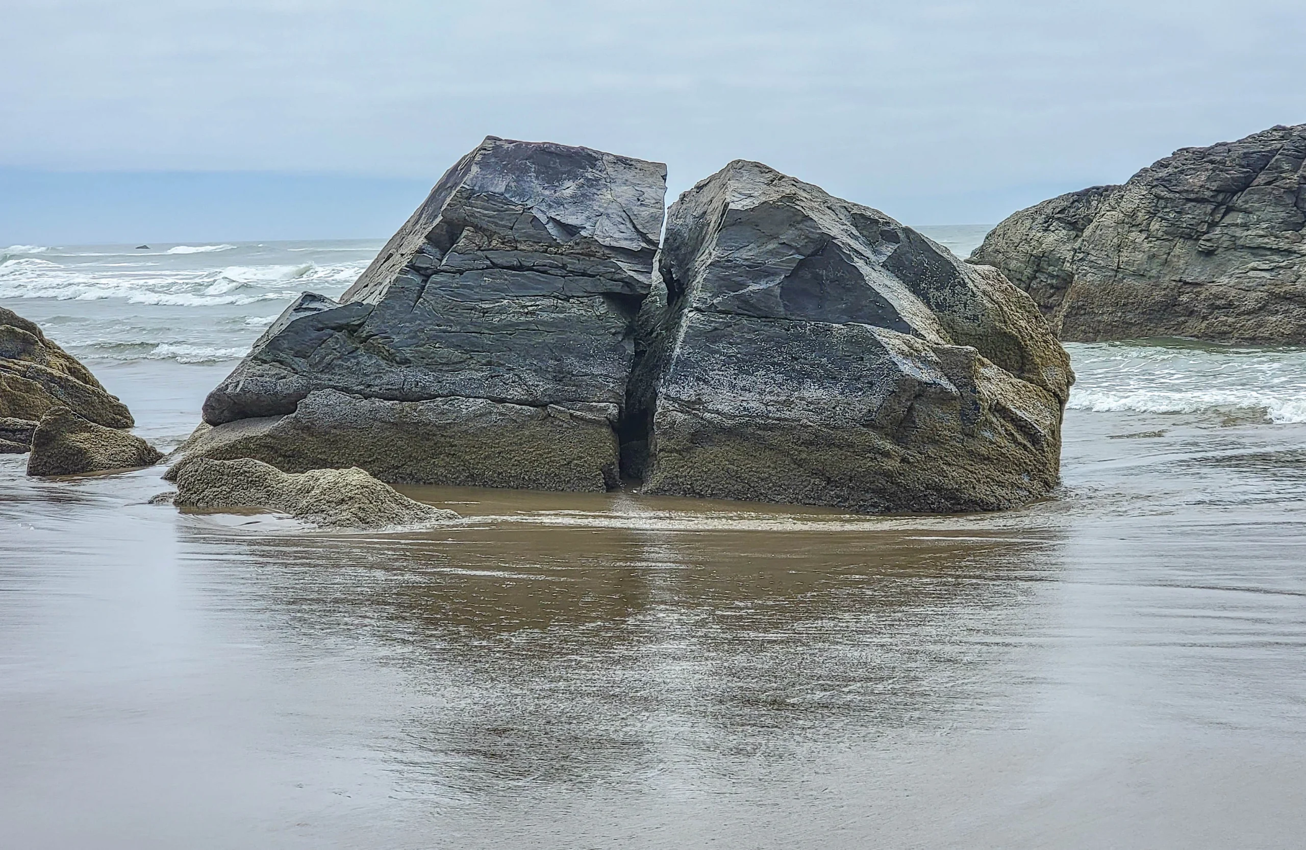
Down at the waterline the smaller rocks show what’s happening to all of them — fracture lines, then splits, then rubble. The stacks are what’s left of headlands, and the process hasn’t stopped.
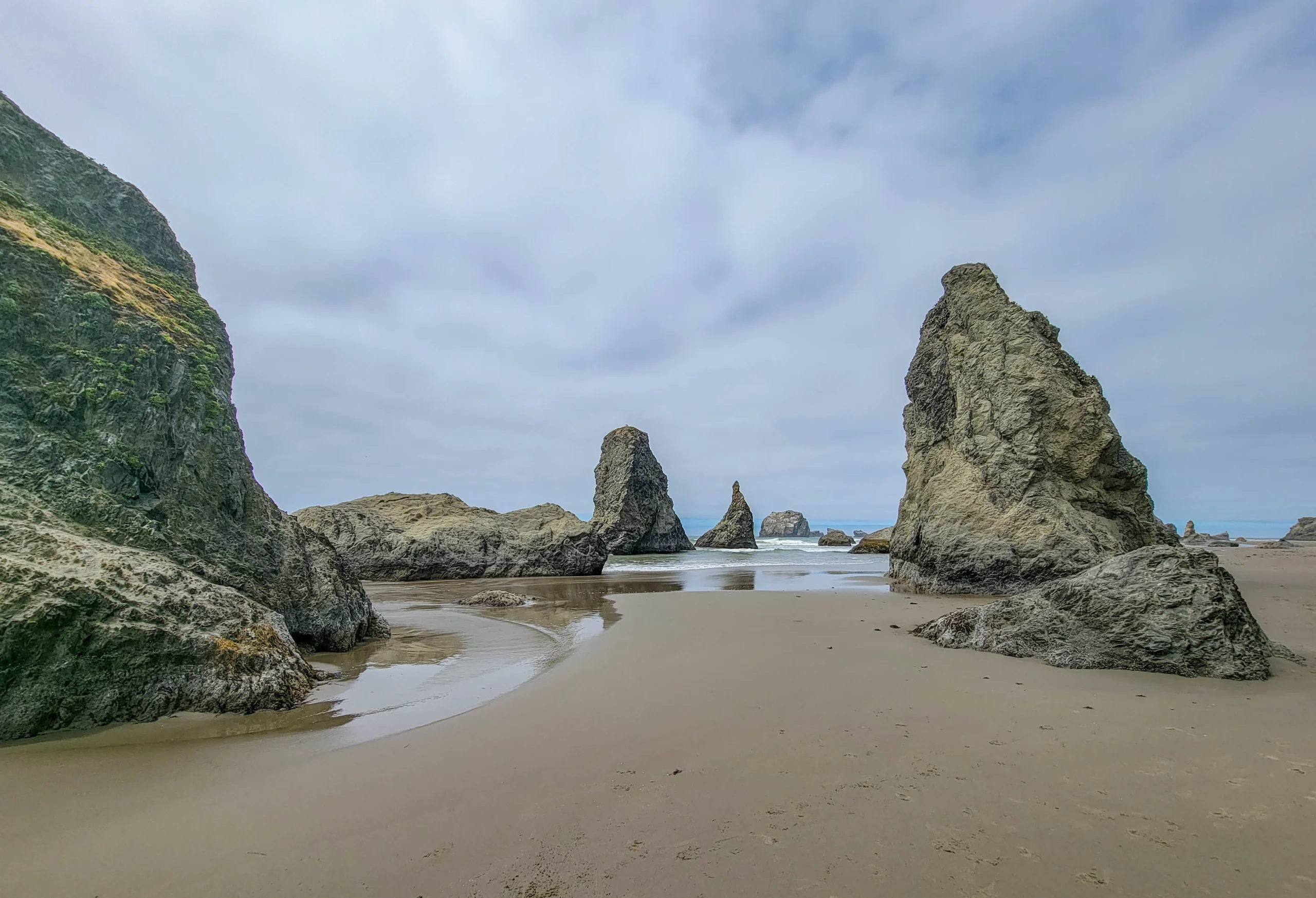
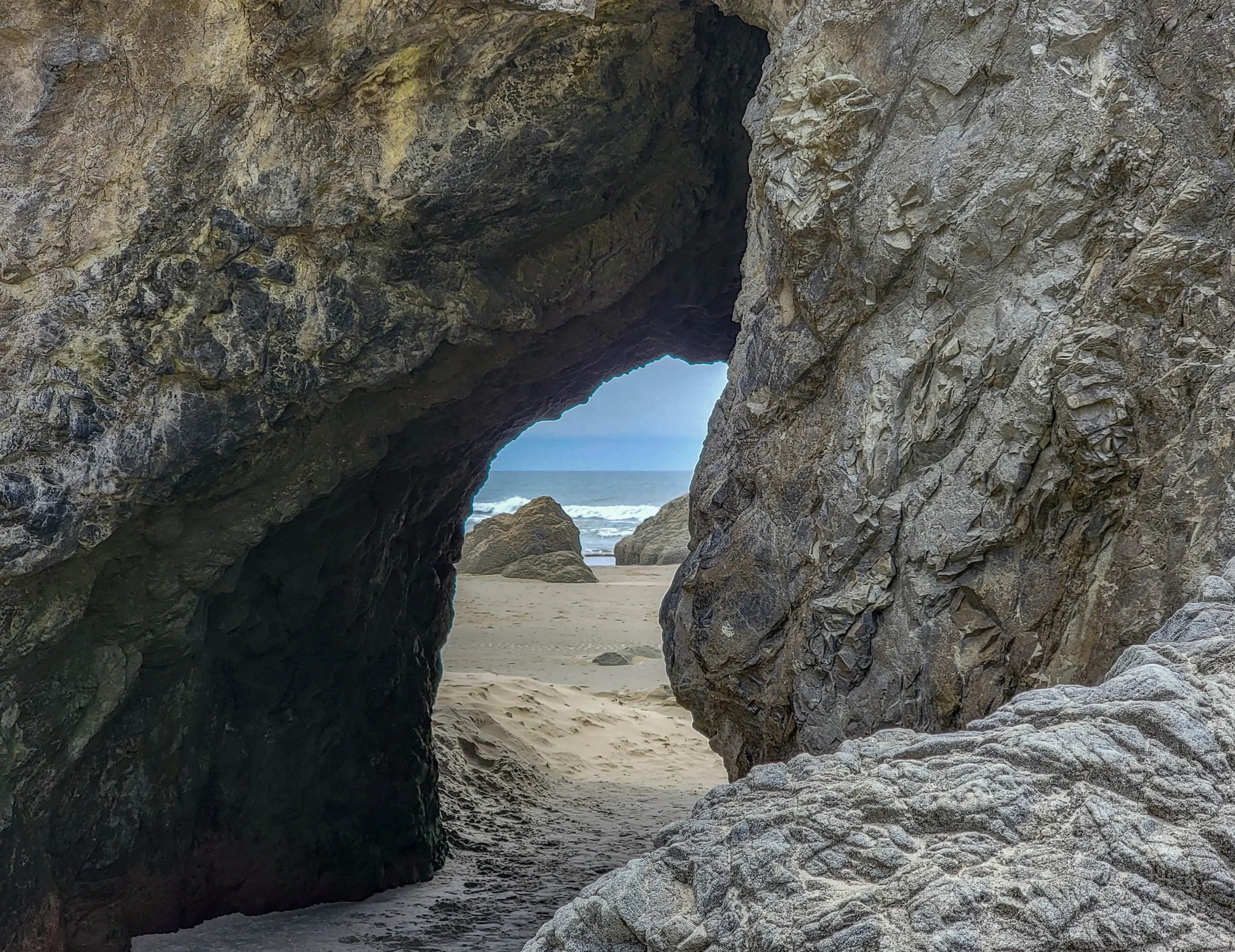
One stack has been worn through at the base into an arch. It’s walkable at low tide and completely inaccessible when the water is up, which is the tide lesson in one object.
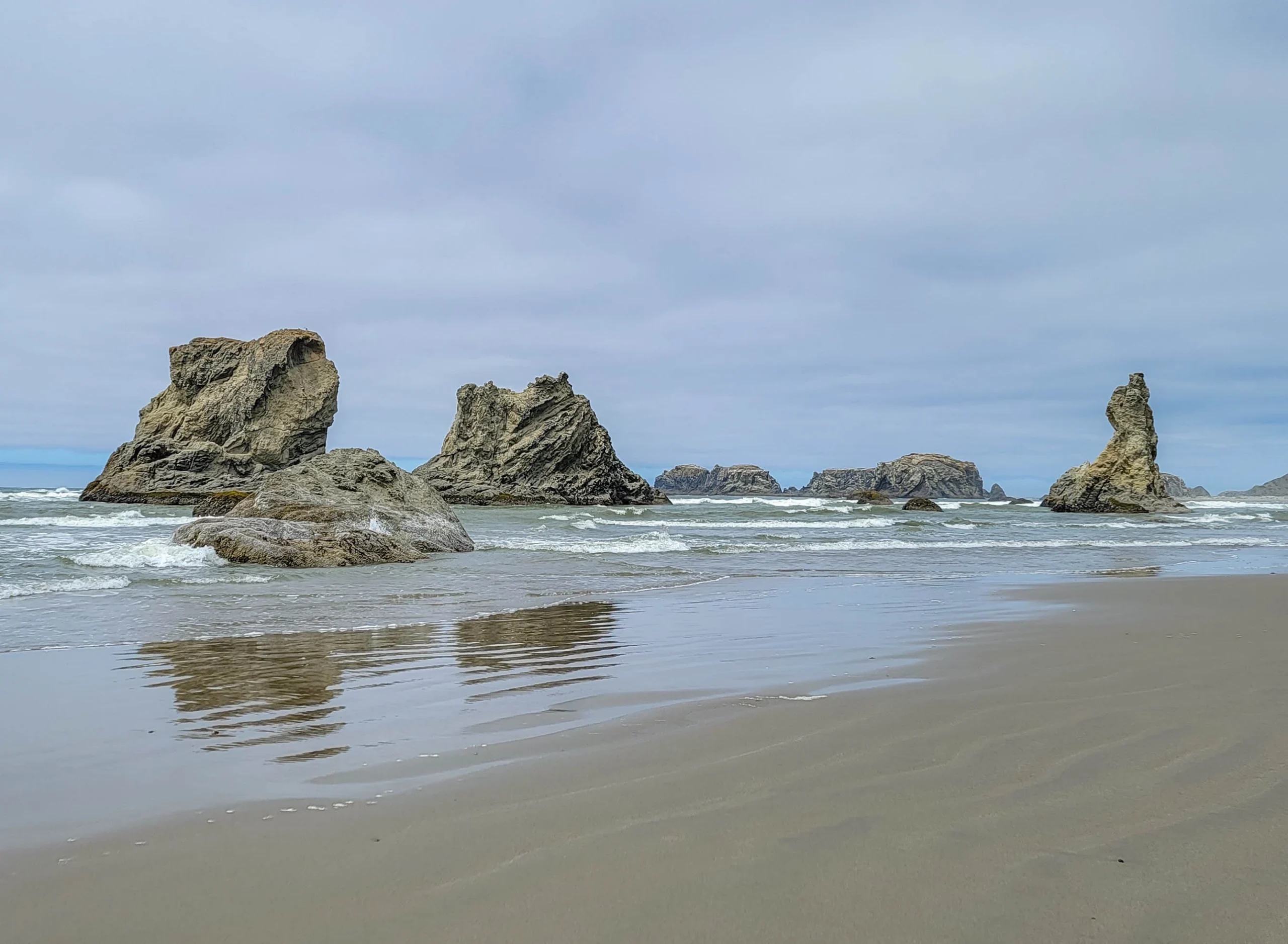
The pointed one at the right is Wizard’s Hat, the other Bandon formation people know by name. It shows up in the wide frame alongside Face Rock and the Cat and Kittens — the three of them span most of the view from the viewpoint.
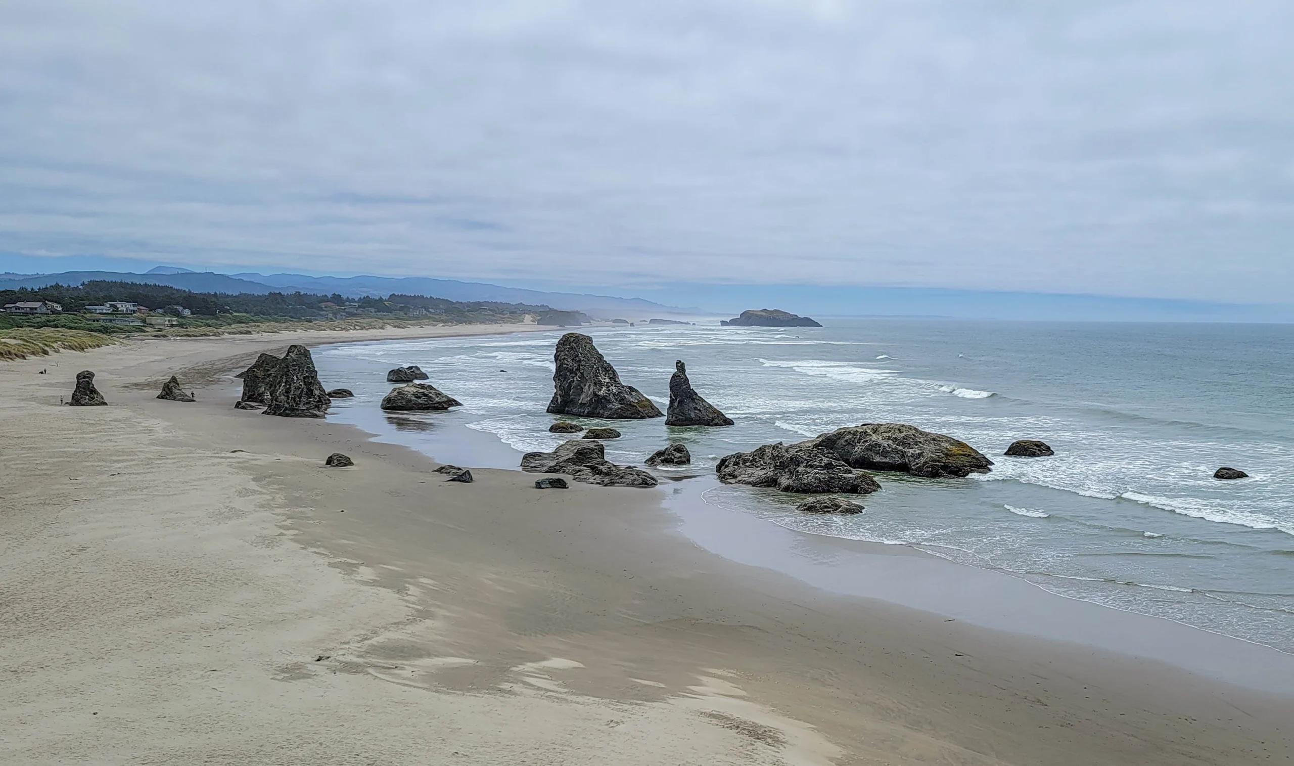
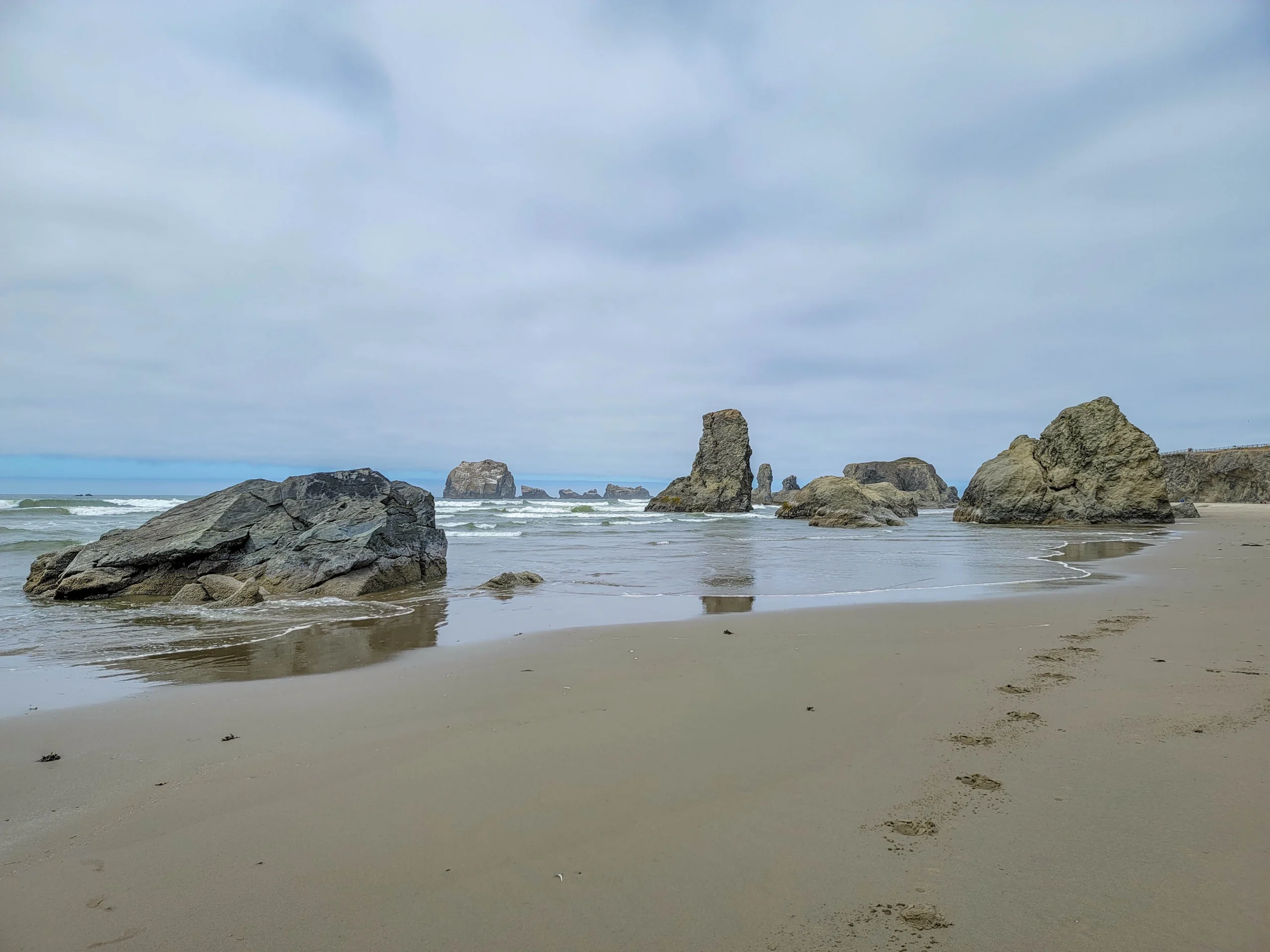
Keep walking north and they keep coming. Most visitors stop at the first group.
Photography Notes
- This is a sunset beach. The stacks face west and the light at the end of the day is the reason photographers come to Bandon specifically. Midday is the weakest option, which is when we were there.
- Low tide plus wet sand equals reflections, and reflections are what separate a Bandon photograph from a rock photograph.
- Check the tide table before the forecast. A clear day at high tide is worse than an overcast one at minus tide.
- A wide lens close to a stack gives you scale better than a long lens from the bluff.
- Face Rock needs the viewpoint angle. From the beach it stops reading as a face.
- Sea stacks are dark against a bright sky. Expose for the rock and let the sky go, or bracket.
- If you want to shoot after dark, get the free night permit. Without it you’re expected out at dusk, which is exactly when this beach starts working.
Know Before You Go
- Free, with restrooms — unusual on a coast where much of the good stuff needs a permit.
- Stairs to the beach. The clifftop path is accessible; the sand is not.
- Check the tide. Low tide roughly doubles what you can reach, and a rising tide can cut off the far stacks.
- Don’t climb the rocks. National wildlife refuge, seabird nesting habitat, and illegal.
- Drones are prohibited at Face Rock State Scenic Viewpoint. Commercial and recreational unmanned aircraft are both banned.
- Staying past dusk needs a permit — and it’s free. The park office issues night photography permits, typically good for one to seven days, letting you remain in the day-use area until 11 p.m. Call ahead. This is the single most useful thing on the official page and almost nobody mentions it.
- Sneaker waves are a genuine hazard on this coast. Never turn your back on the water, and stay off wet logs.
- Bandon is 25 miles (40 km) south of Coos Bay, about 30 minutes on Highway 101.
- Old Town Bandon sits on the Coquille River a few minutes north, with food and a working harbor.
Is It Worth It?
Yes, and it’s one of the easiest good things on the Oregon coast.
There’s no fee, no permit, no hike, and no gravel road. You park, walk down some stairs, and stand among 70-foot rocks on a beach that goes on for miles. Very little else on this coastline gives that much back for that little effort.
The caveats are timing rather than substance. Come at high tide and you’ll see a nice view from a railing. Come at midday and you’ll get the flat light we got. Come an hour before sunset on a falling tide and it’s one of the best beaches in the state.
We were passing through on our way back from the Cape Arago Scenic Loop and gave it half an hour. It deserved an evening.
For current conditions and beach access, visit the Oregon State Parks page for Face Rock State Scenic Viewpoint.

0 Comments