

Rock Park features 1.5 miles of rocky and somewhat steep trails that offer a loop around Castle Rock and panoramic views of downtown Castle Rock, the Interstate 25 corridor, Pikes Peak and the Front Range. Despite the climb and the rockiness of some sections, the trail is still fairly accessible particularly if you use the Perimeter Trail and not the Summit Trail. At the trail head there is a fairly large parking lot with a trail map and porta potti located at 1710 Front St, Castle Rock, CO 80104. There is also an access trail between the 700 and 800 blocks of Sunset Drive that provides access to overflow parking along the street there. There is a detailed trail map on the Castle Rock website at: Rock Park Trail Map.
From the main parking lot there’s a short (0.1 mile) connector trail to the main loop. From the connector you can turn left onto the 1/2 mile Paul Hill Perimeter Trail, or turn right onto the 1/2 mile John Emerson Summit Trail.
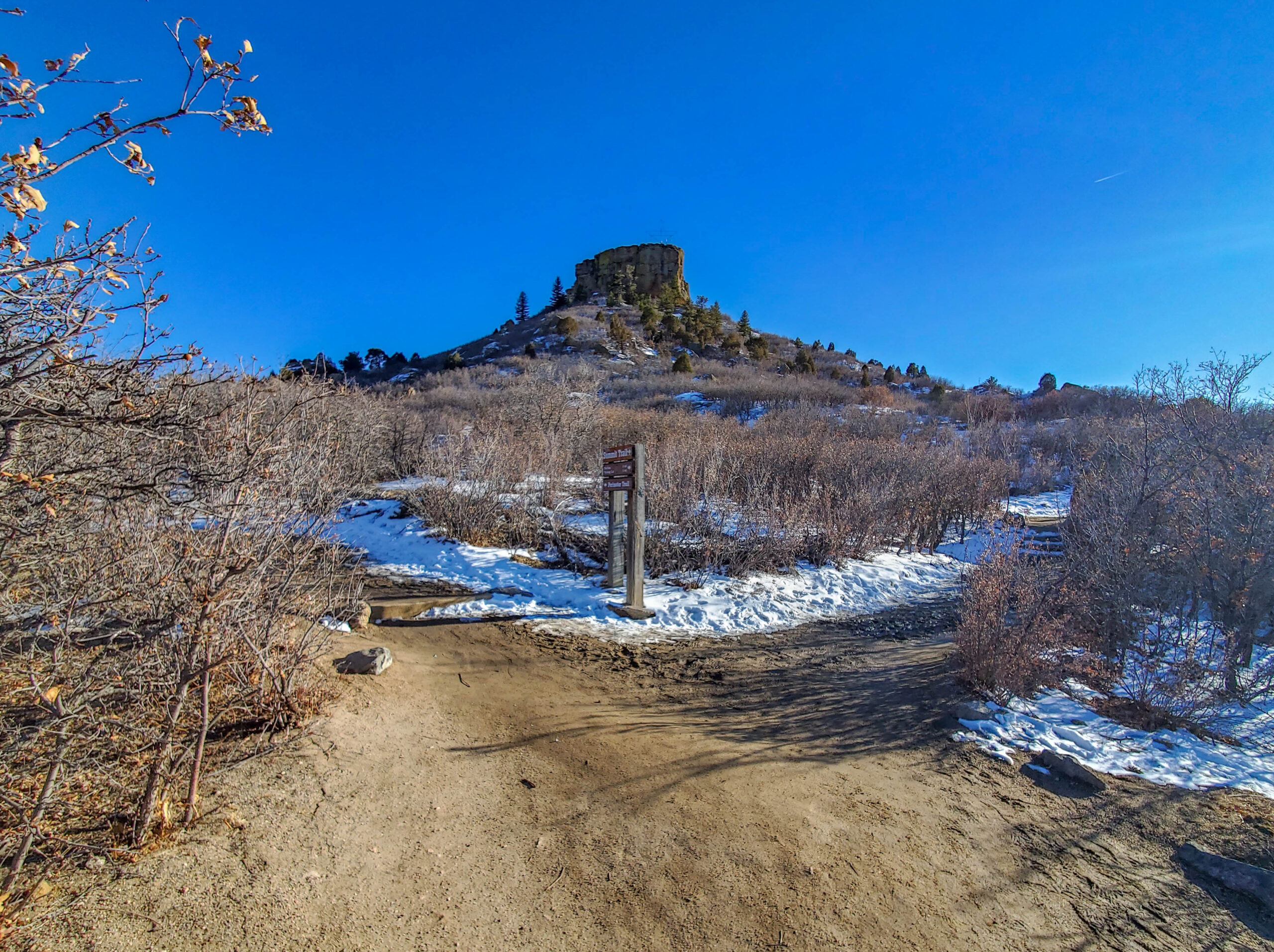
Rock Park Trail Junction
The Perimeter Trail is a slightly more gradual climb with fewer stairs, but both trails climb about 370 feet before joining the 0.2 mile loop trail around Castle Rock.
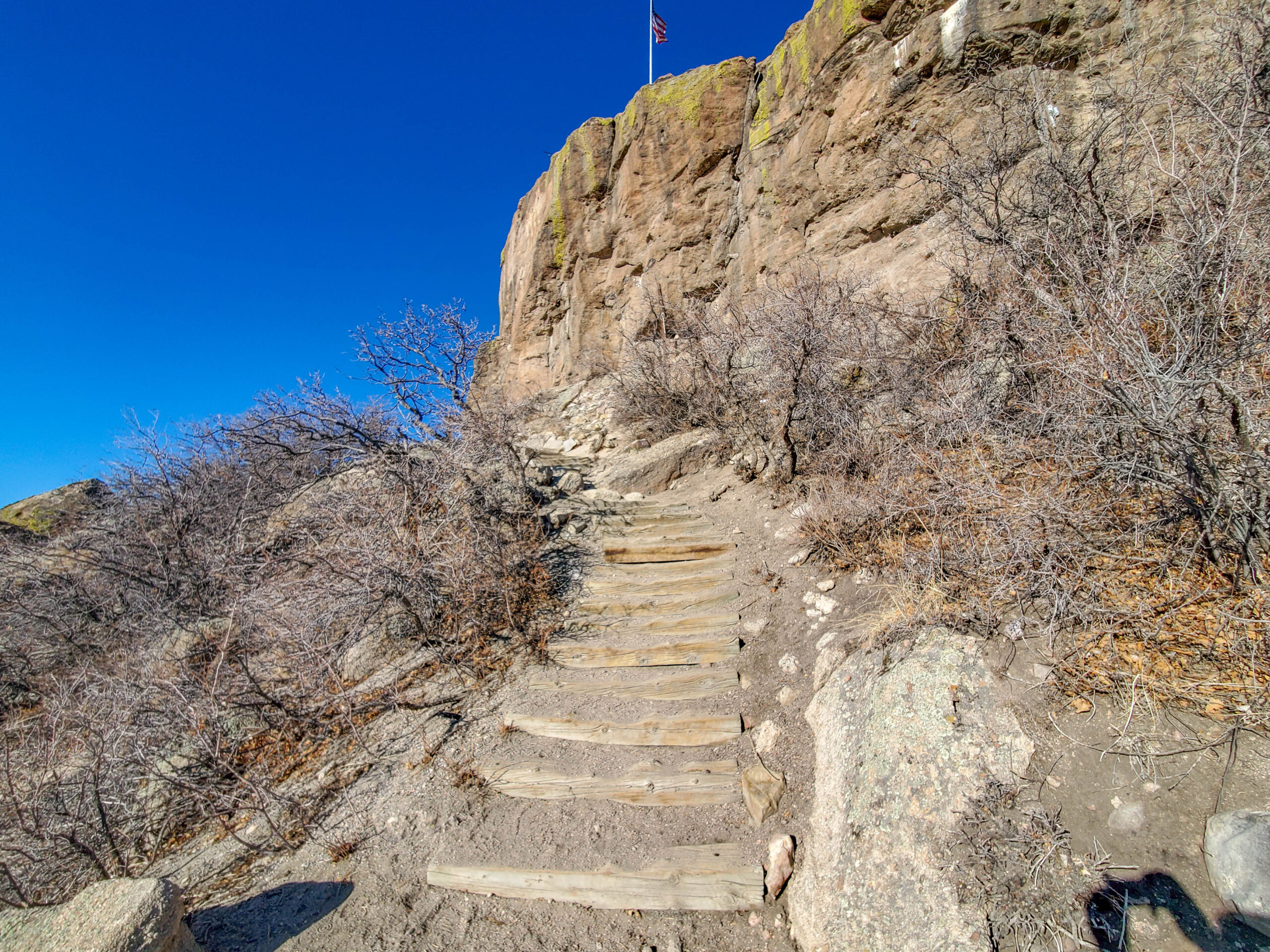
Rock Park Summit Trail Section
The loop trail is wide and level virtually the entire way around, and provides different vantage points on the rock itself

Castle Rock Details
and the surrounding area depending on where you stop. We particularly enjoyed the views to the West of Pikes Peak
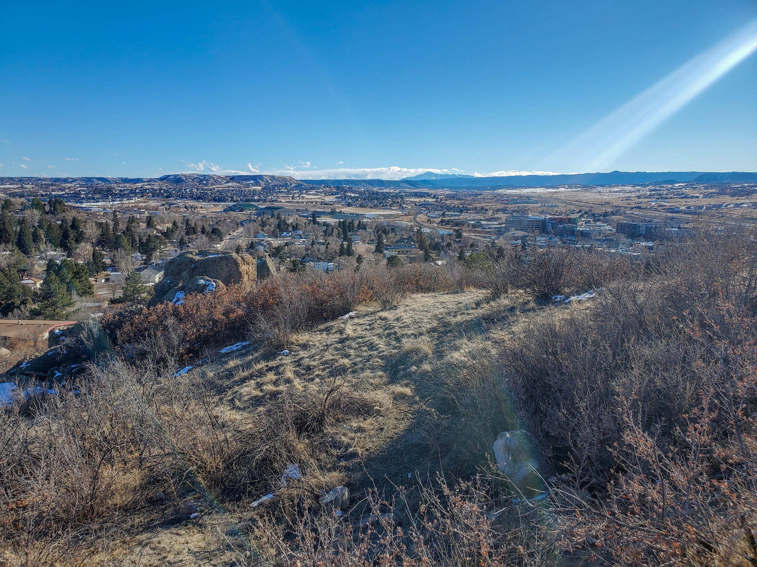
Rock Park Southwest View
and the rest of the Front Range.
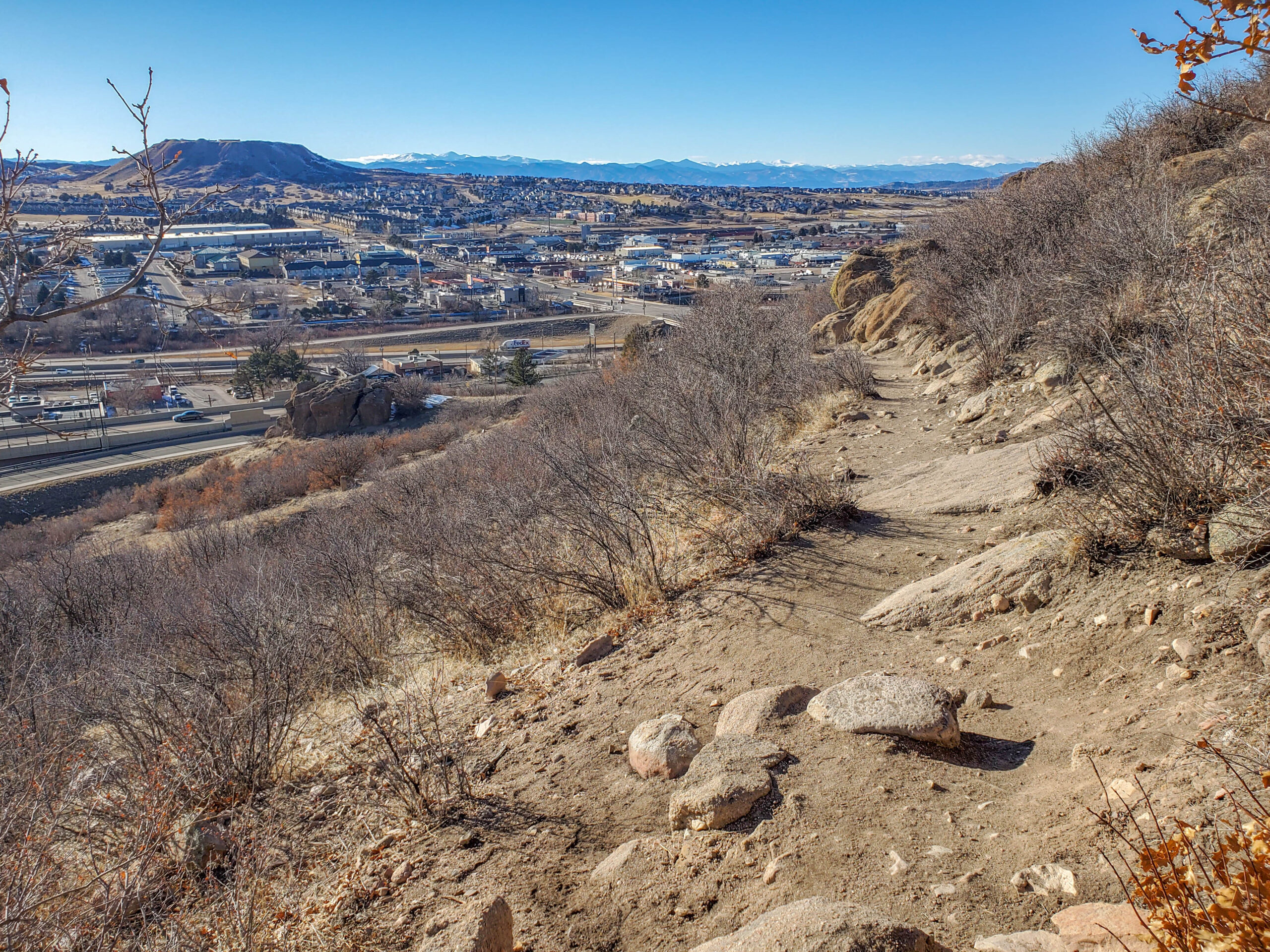
Rock Park Front Range View


0 Comments