
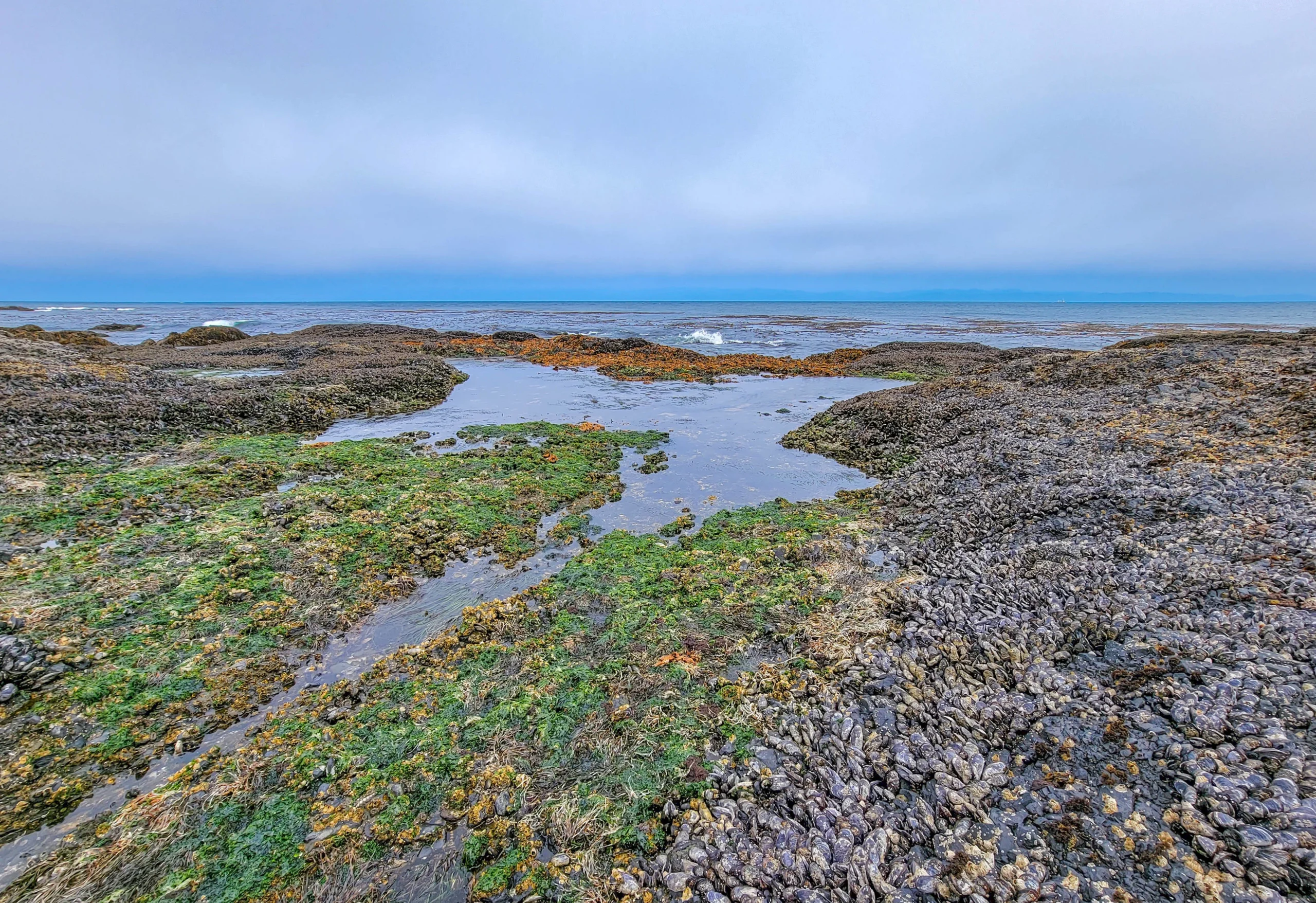

Salt Creek Recreation Area is a 196-acre (79 ha) county park on the Strait of Juan de Fuca, about 15 miles (24 km) west of Port Angeles, Washington, and just north of Olympic National Park. It holds some of the best tidepools on the West Coast, a set of World War II gun emplacements, several miles of wooded trail, and 92 campsites on the bluff above the water.
Day use is free. No entrance fee, no parking fee, no Discover Pass — which is unusual for a place this good, and worth knowing if you’ve been paying $10 a day elsewhere in Washington.
We came here on a gray June morning at low tide and spent about ninety minutes on the rocks. It’s the best tidepooling we’ve done anywhere.
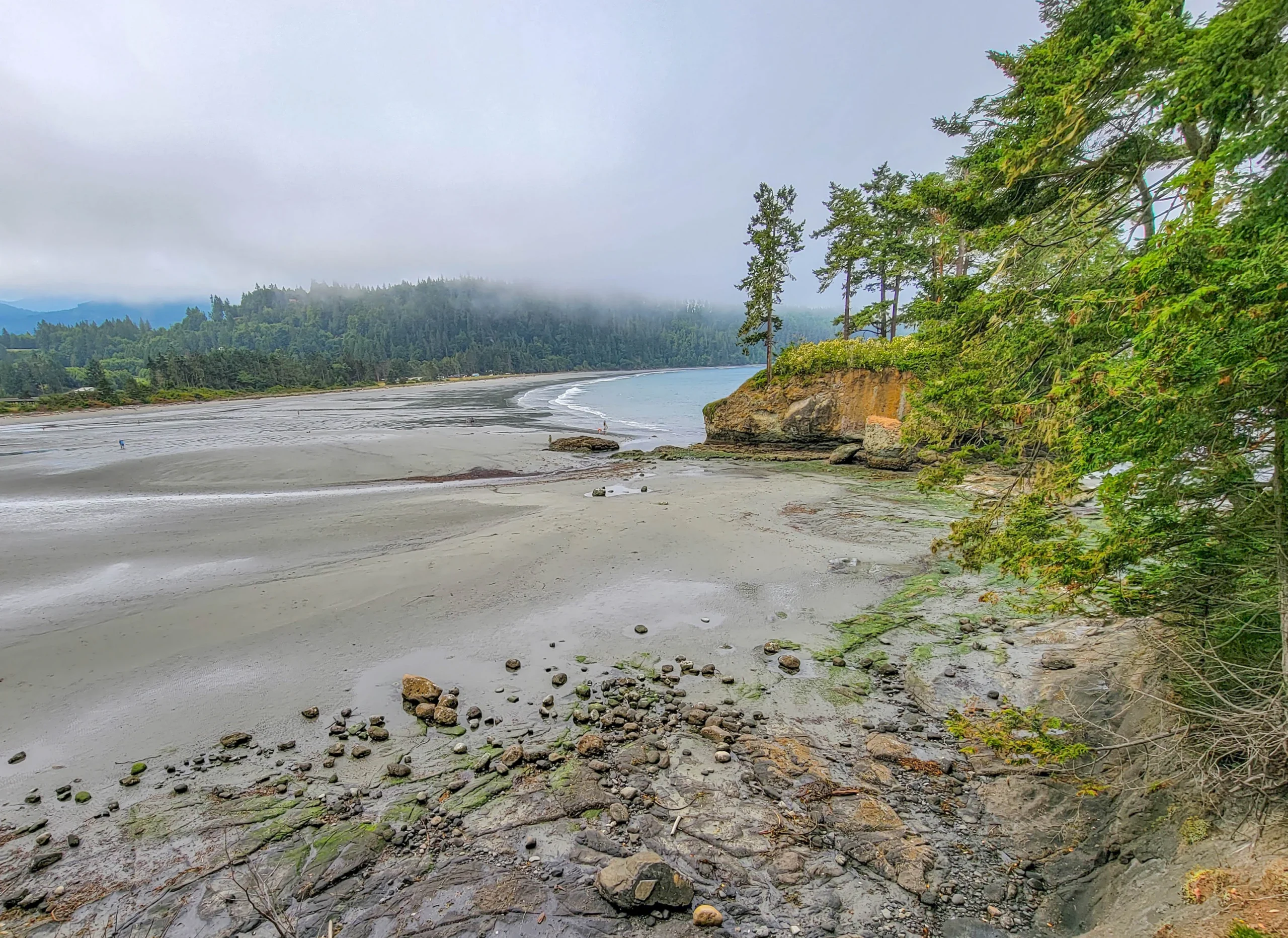
Salt Creek Recreation Area Facts
- Size: 196 acres (79 ha)
- Managed by: Clallam County Parks
- Location: About 15 miles (24 km) west of Port Angeles, roughly 100 miles (161 km) west of Seattle
- Day-use fee: None
- Camping: 92 sites, roughly half with hookups
- Facilities: Restrooms, picnic tables with fire pits, playground, sand volleyball, horseshoe pits, basketball court, playing field
- Highlights: Tongue Point tidepools, Camp Hayden WWII bunkers, Striped Peak trail
Go at Low Tide — This Is the Whole Thing
This is the single most important piece of planning, and the post you’re reading is probably the only one that will tell you.
Tidepooling only works at low tide, and there’s no sign at the parking lot telling you when that is. Check a tide table for Crescent Bay or Port Angeles before you drive out.
- Aim for a tide of +1 foot or lower. Minus tides are better still.
- Arrive an hour before the low, so you have the falling water working for you and time to get out there.
- Summer minus tides in the Pacific Northwest fall in the morning, which is why we were out there at 11 a.m.
Show up at high tide and there is essentially nothing to see. Show up at a minus tide and the rock shelves open into one of the richest intertidal zones on this coast.
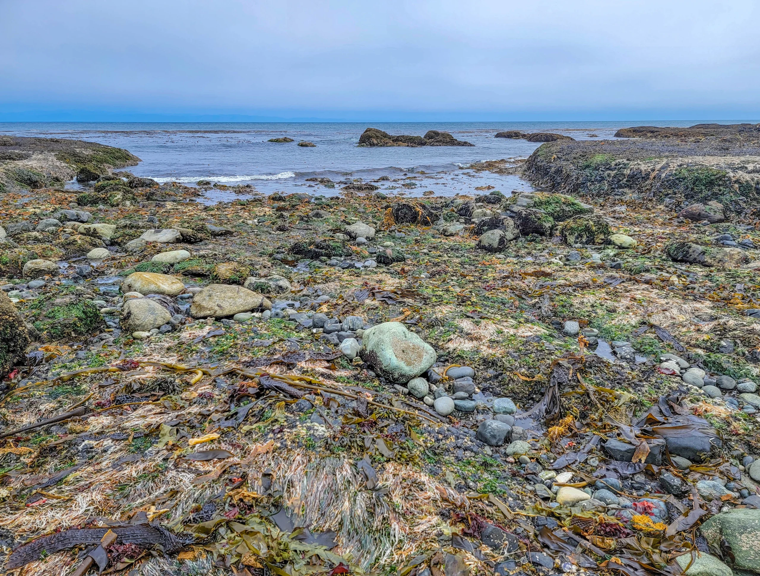
The Tidepools at Tongue Point
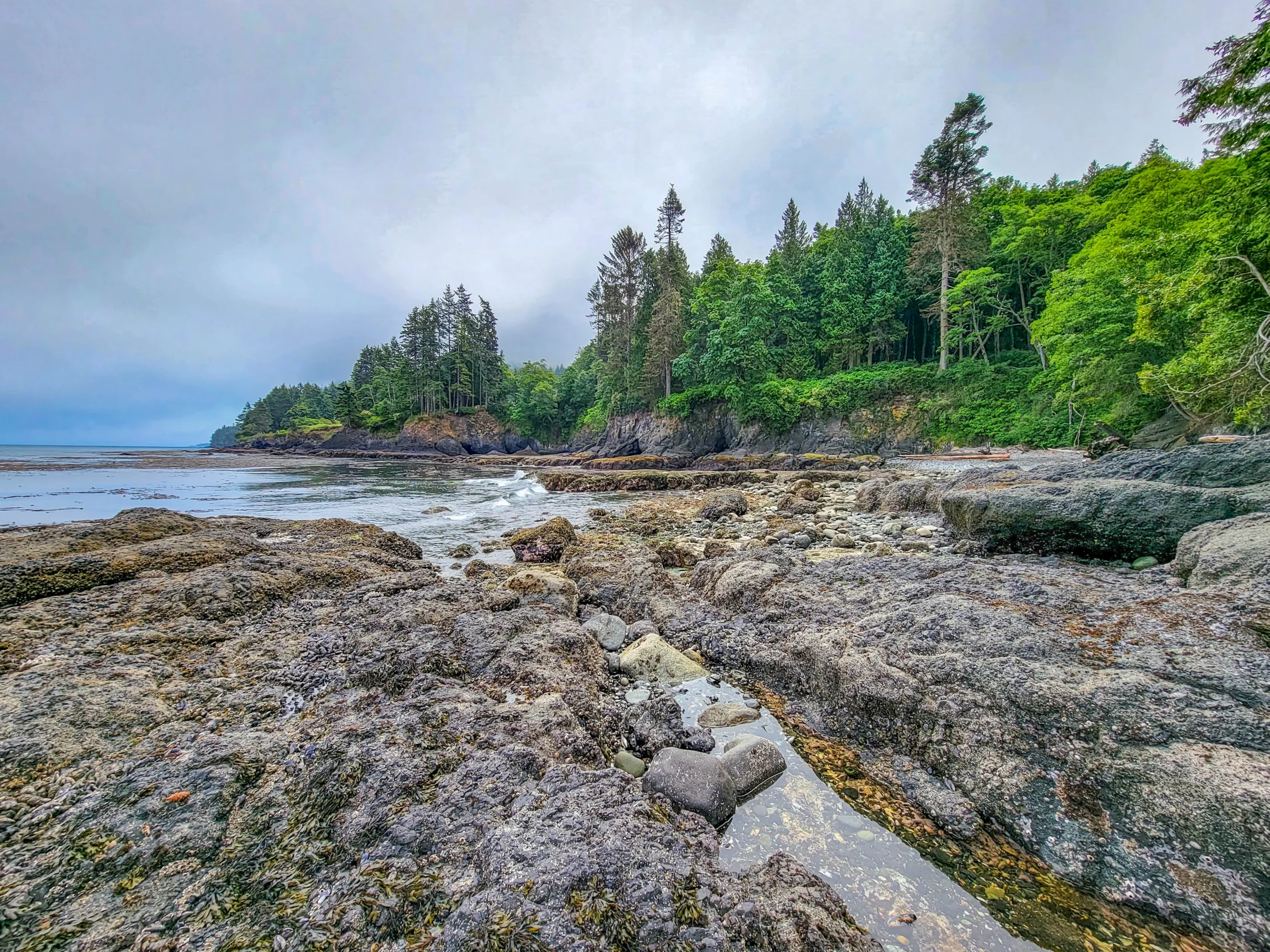
Tongue Point is a designated Marine Life Sanctuary, a peninsula jutting from the northwest corner of the park, and the tidepools on either side of it are the reason to come. Protected status is why the life here is denser than at unmanaged beaches.
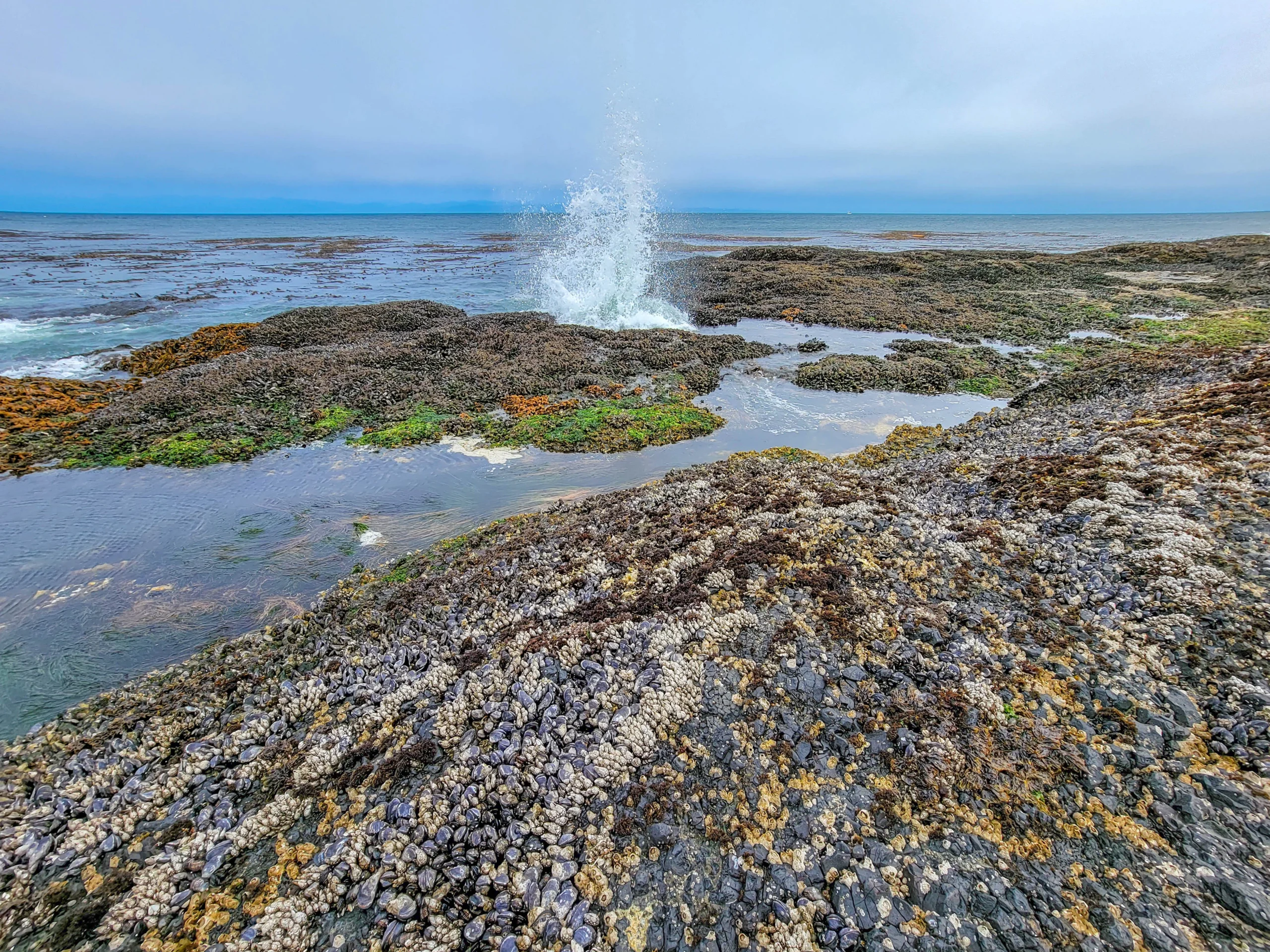
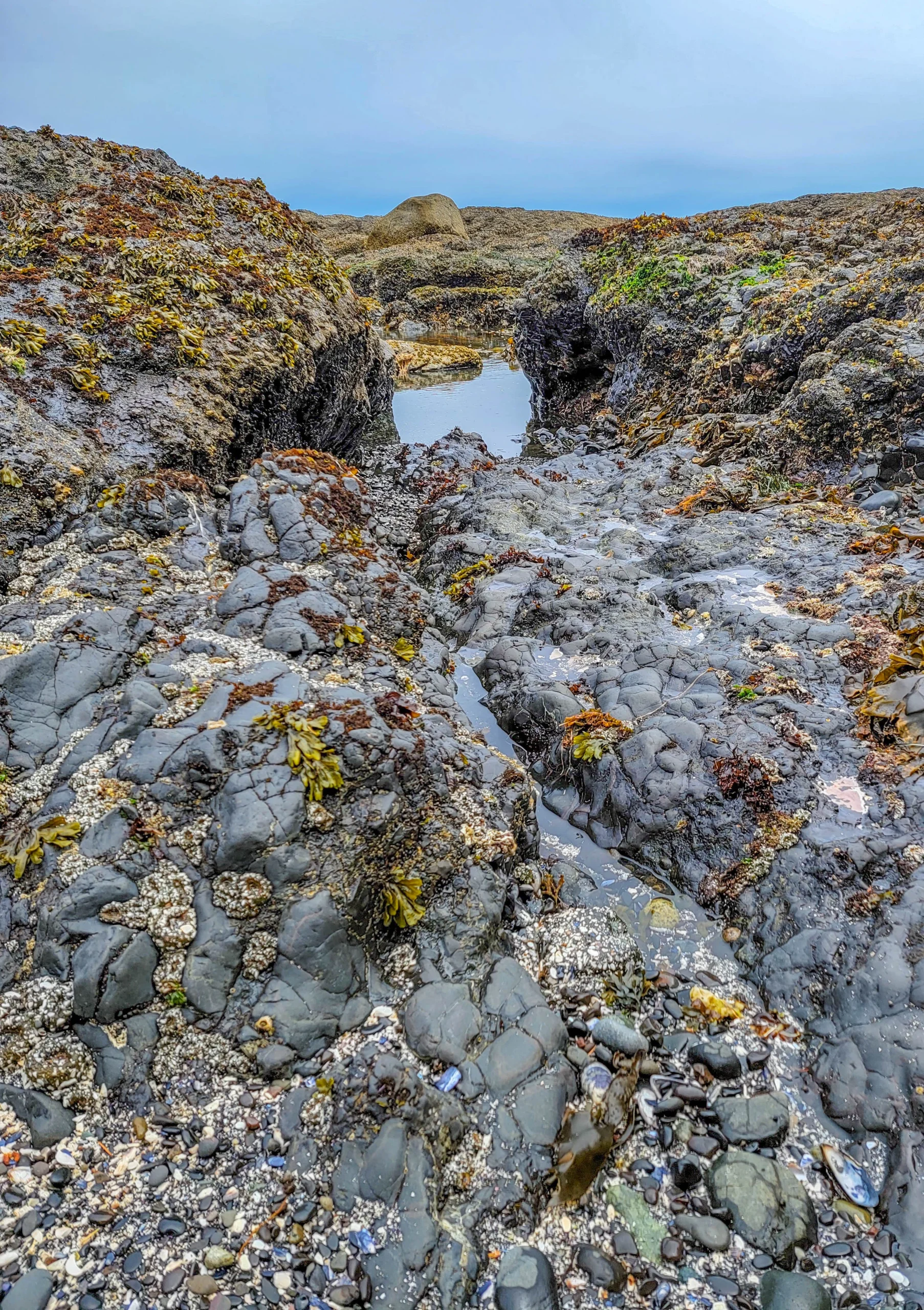
What you walk out onto is a series of basalt shelves and channels, and the zonation is textbook — barnacles and mussels packed solid on the high rock, rockweed and kelp lower down, and the pools themselves in the cuts between.
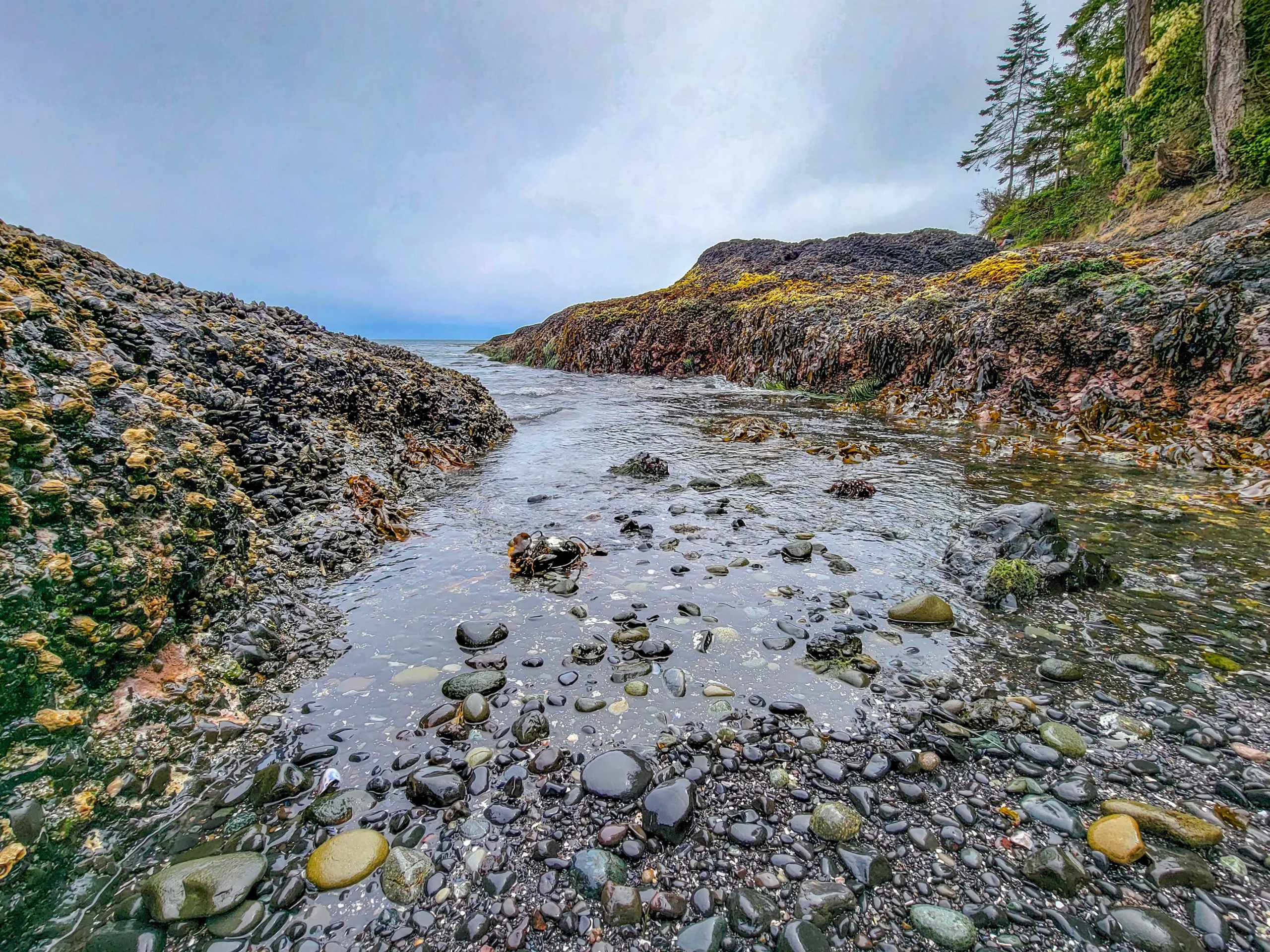
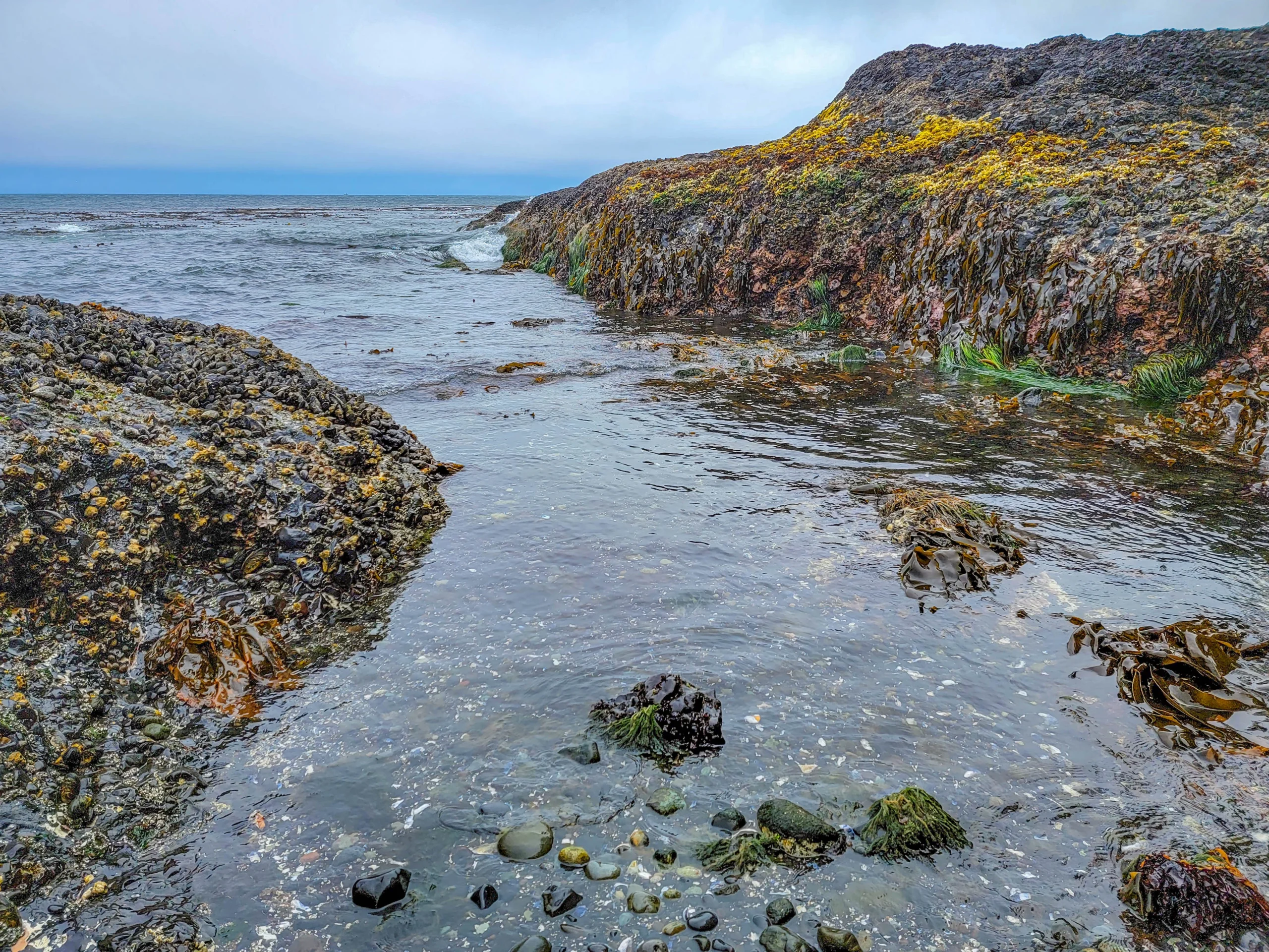
The mussel beds are the thing that surprised us. Whole rock faces are covered so completely you can’t see stone underneath, with goose barnacles wedged into the gaps.
What You’ll Find
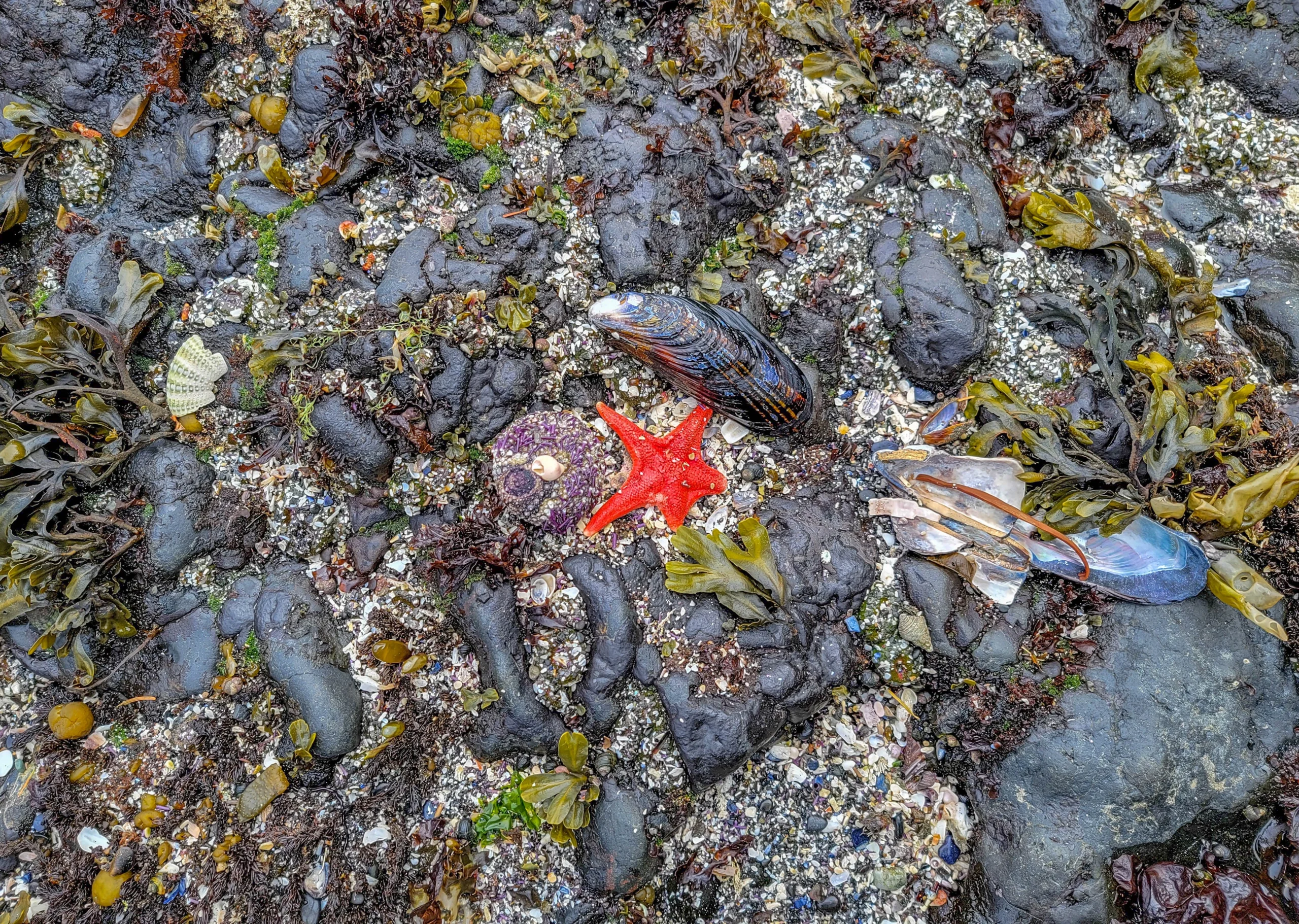
Ochre sea stars in red, orange, and purple, purple sea urchins, anemones, chitons, limpets, hermit crabs, and several kinds of seaweed. On a good tide you’ll also see sculpins and small fish trapped in the deeper pools.
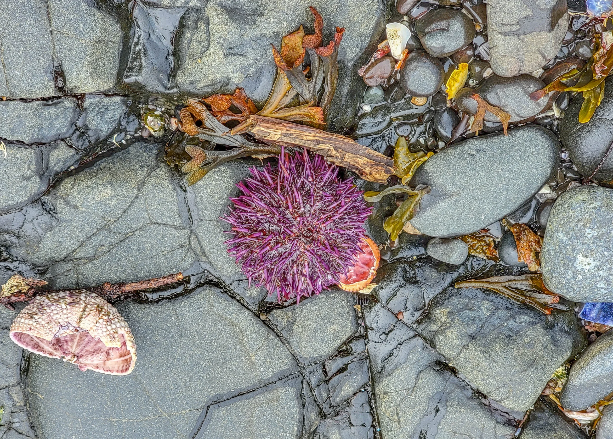
The sea stars are worth a note. Sea star wasting disease devastated Pacific Coast populations starting in 2013, and ochre stars in particular were hit hard. Seeing healthy ones is a good sign, and a reason to be careful where you put your feet.
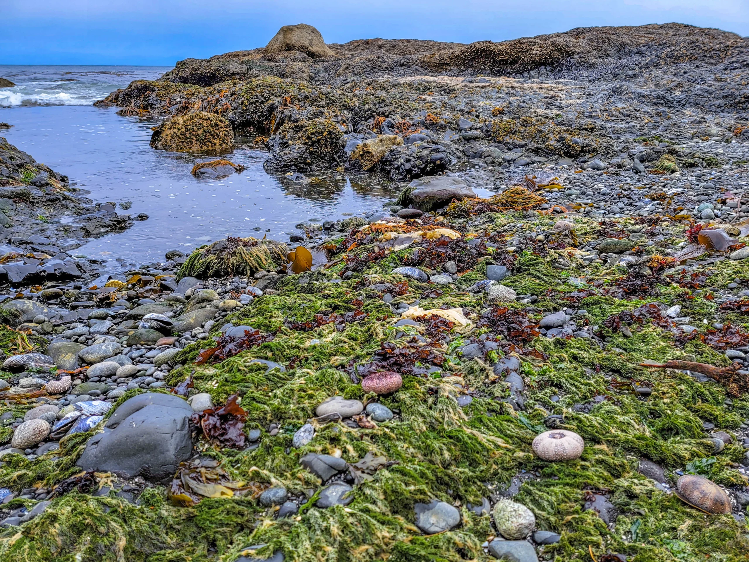
Tidepooling Etiquette
- Watch where you step. Barnacles, mussels, and anemones are animals, and stepping on them kills them. Walk on bare rock and sand.
- Look, don’t pry. Sea stars and anemones grip hard; pulling one off injures it. Leave everything attached.
- Turn rocks back the way you found them if you lift one up.
- Take nothing. Empty shells are somebody’s future home.
- Keep an eye on the water. The tide comes back faster than you expect across flat shelves.
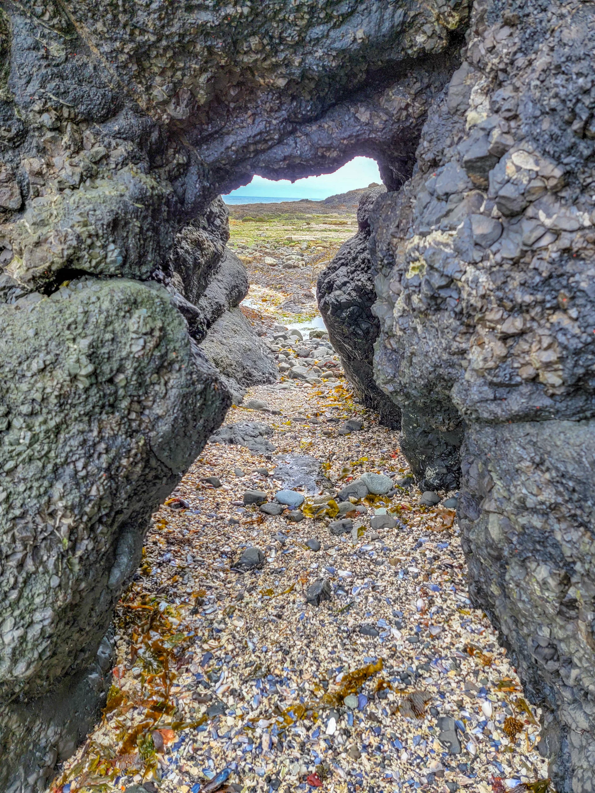
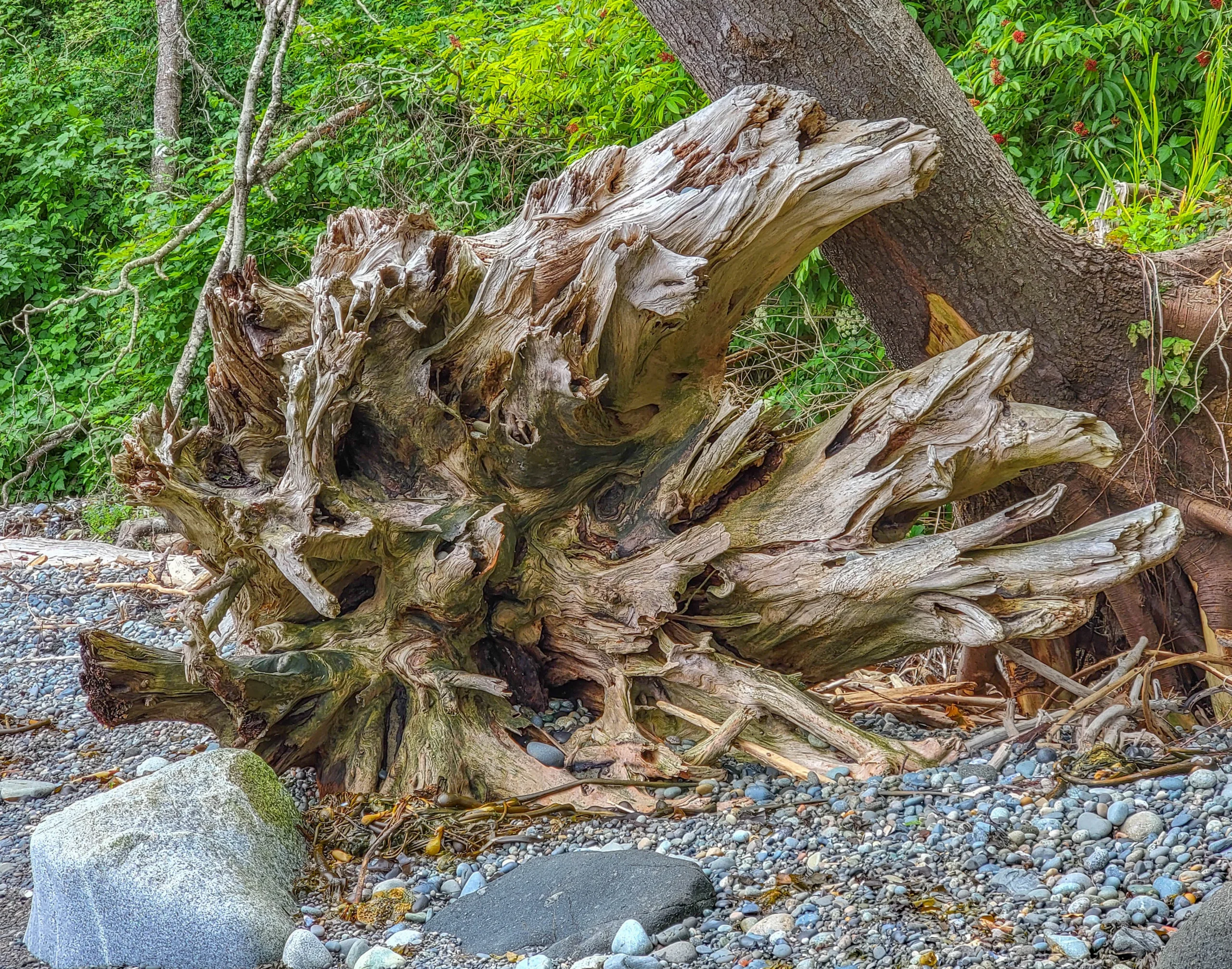
The rock formations are worth exploring in their own right — arches, slots, and passages cut through the headland, floored with crushed shell.
Camp Hayden and the WWII Bunkers
Before it was a park, this was Camp Hayden, a military installation built between 1942 and 1945 to defend the entrance to the Strait of Juan de Fuca.
The camp mounted two 16-inch guns in massive concrete casemates, capable of firing roughly 25 miles (40 km) out to sea. The guns are long gone; the bunkers are still here, and a short trail leads to them. They’re open to walk into — bring a flashlight.
It’s an unusual pairing: a world-class intertidal zone and a set of coastal artillery bunkers, in the same 196 acres.
Hiking
Striped Peak Trail is the main hike — 5 miles (8 km) round trip with 850 feet (259 m) of elevation gain, open to hikers, bikers, and horses. The peak sits on adjacent Washington DNR land, which is why some maps show it separately from the county park.
There are also several short wooded loops inside the park, including the walk to the WWII bunkers and paths along the bluff above the beach.
Shore Diving
Salt Creek Recreation Area is regarded as one of Washington’s best shore dive sites, and the underwater terrain is the same rugged reef you’re walking on at low tide — shelves, channels, overhangs, and boulders, with a thick bull kelp forest that peaks from summer into early fall.
Divers report sea urchin beds, sponges, sea stars, chitons, and hydrocoral, along with black rockfish, kelp greenling, lingcod, and sculpin in the kelp.
It is not a beginner dive. The <a href=”https://nwdiveclub.com/viewtopic.php?t=7874″ target=”_blank” rel=”noopener”>Northwest Dive Club’s site review</a> rates it as advanced, with rock, waves, current, and surge depending on season and weather. We weren’t there to dive — for us the draw was the tidepools — but it’s the reason many people come.
Camping
92 campsites on the bluff above the water, with close to half offering hookups.
Camping has changed since our visit and now needs planning:
- 2026 reservations opened January 1, with the season running February 1 through October 31
- Reserve at least five days ahead — some sources say seven — and individual sites must be booked online
- Clallam County residents: $37 per night non-utility, $43 utility
- Non-residents: $48 per night non-utility, $59 utility
- Plus a $15 reservation fee
Day use remains free regardless.
Photography Notes
- Overcast is ideal, and this coast delivers it. Flat light keeps detail in wet black rock and bright shell without blowing out.
- A polarizer is the single most useful thing you can bring. It cuts surface glare and lets you actually see into the pools.
- Get low. Tidepool photos work at water level, not from standing height.
- Bring a cloth and expect spray. Everything out there is wet.
- Watch your footing while framing. Wet rockweed is genuinely slippery and it’s easy to concentrate on the viewfinder instead of your feet.
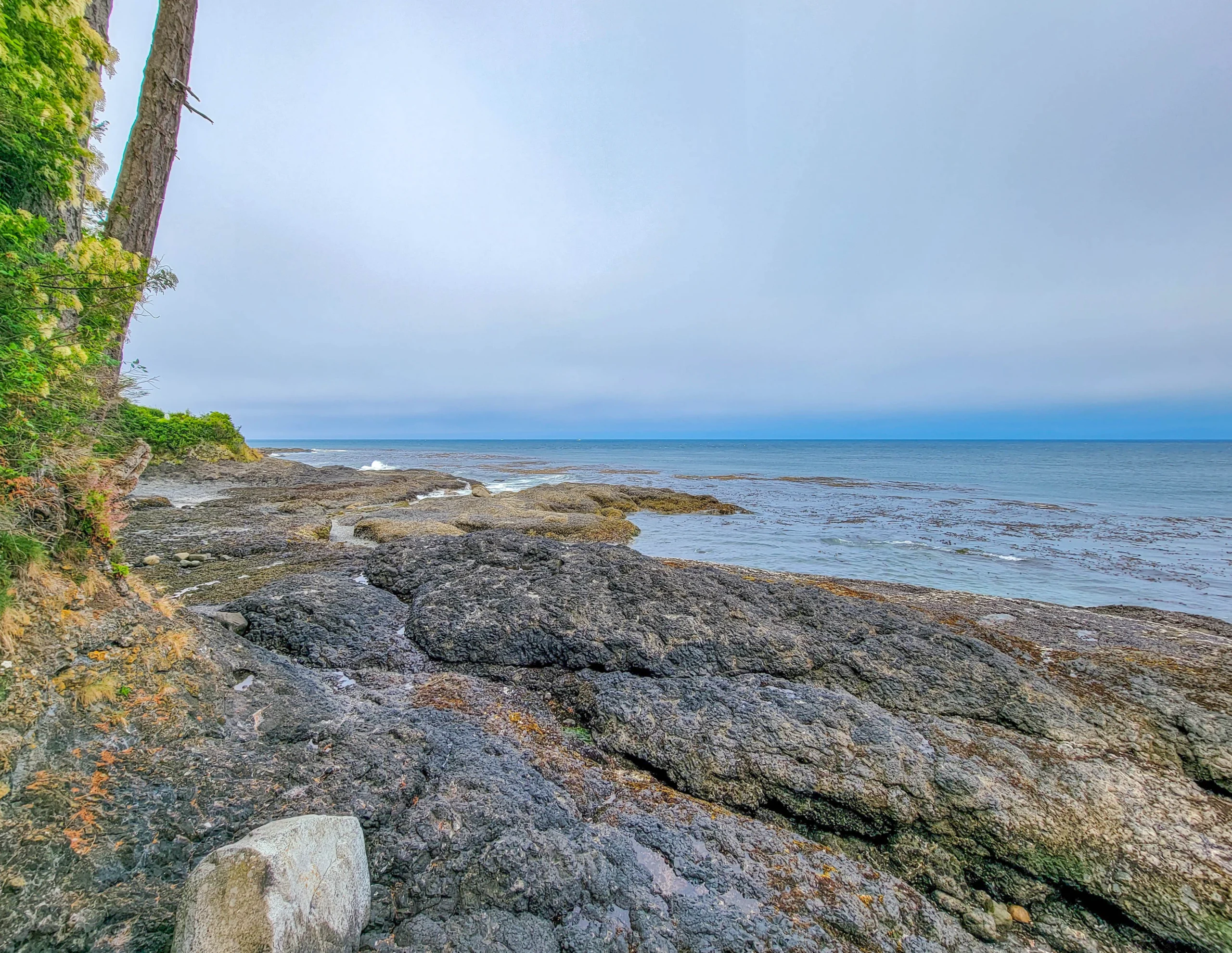
On a clear day you can see Vancouver Island across the strait — that’s Canada on the horizon, roughly 15 miles (24 km) north.
Know Before You Go
- Check the tide first. Everything else is secondary.
- Wear boots with grip. Wet rock, mussel shell, and rockweed make for poor footing, and the rock cuts.
- Dress for the strait. It’s cooler and windier on this shore than inland, even in July.
- No fee for day use, which makes this one of the best-value stops on the peninsula.
- Pair it with Olympic National Park. Salt Creek sits just north of the park boundary and about 40 minutes from Port Angeles — an easy add-on to a Hurricane Ridge or Sol Duc day.
Is It Worth It?
Yes, and it’s the most underrated stop on the north Olympic Peninsula.
You get world-class tidepooling, WWII bunkers you can walk into, a real hike up Striped Peak, a top-rated dive site, and 92 campsites on a bluff over the water — all for no day-use fee at a county park most visitors drive straight past on their way to the national park.
The only real caveat is timing. Get the tide right and this is a highlight of the peninsula. Get it wrong and it’s a nice view of some water. Check the tide table, plan the morning around it, and give yourself at least two hours on the rocks.
For other ideas and things to do on the Olympic Peninsula, check out our Olympic Peninsula Guide.
For camping reservations, current conditions, and park facilities, visit Clallam County’s Salt Creek page.

0 Comments