
Travel, Explore, and Capture--Activities
Explore Constantly follows while I travel, explore, and capture hiking, biking, skiing, sightseeing, photography activities and locations. Below are some posts from recent locations I've explored. You can also click here to see the map of all the locations.
United States Locations
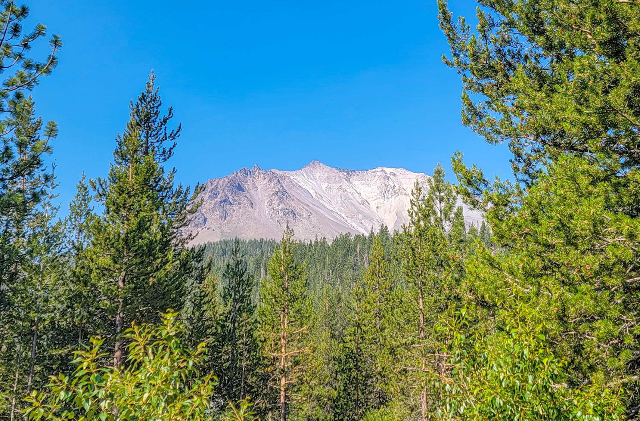
Lassen Volcanic National Park Guide – California
Lassen Volcanic National Park covers about 106,000 acres (43,000 ha) in Northern California, roughly 50 miles (80 km) east of Redding, and it is the only place on earth where you can see all four types of volcano — shield, composite, cinder cone, and plug dome —...
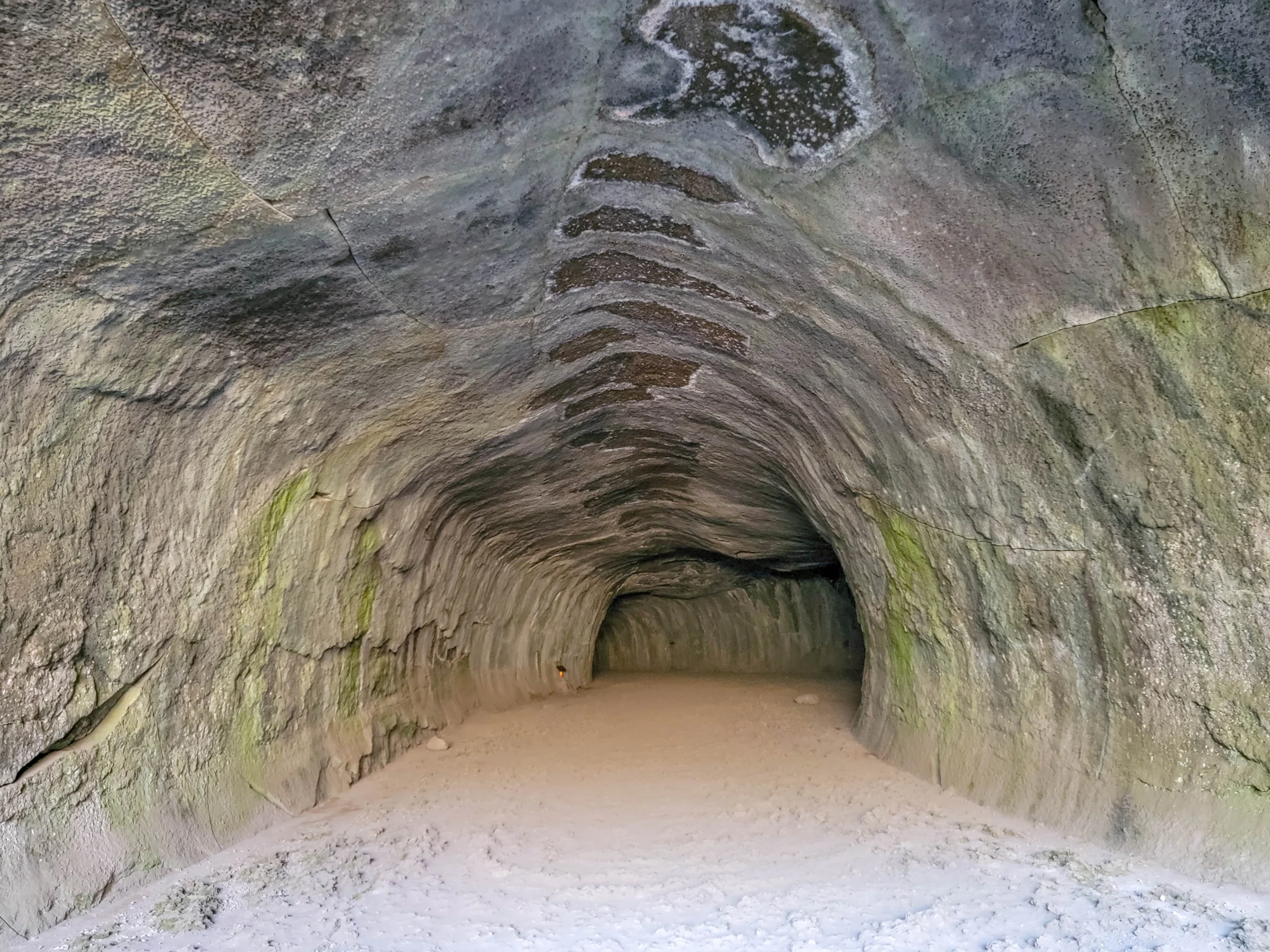
Subway Cave – Lassen National Forest – California
Subway Cave is a 1,300-foot (400 m) lava tube in Lassen National Forest near Old Station, California, that you can walk straight through on a self-guided trail. The full loop — down through the tube and back on the surface — runs about a third of a mile (0.5 km) and...
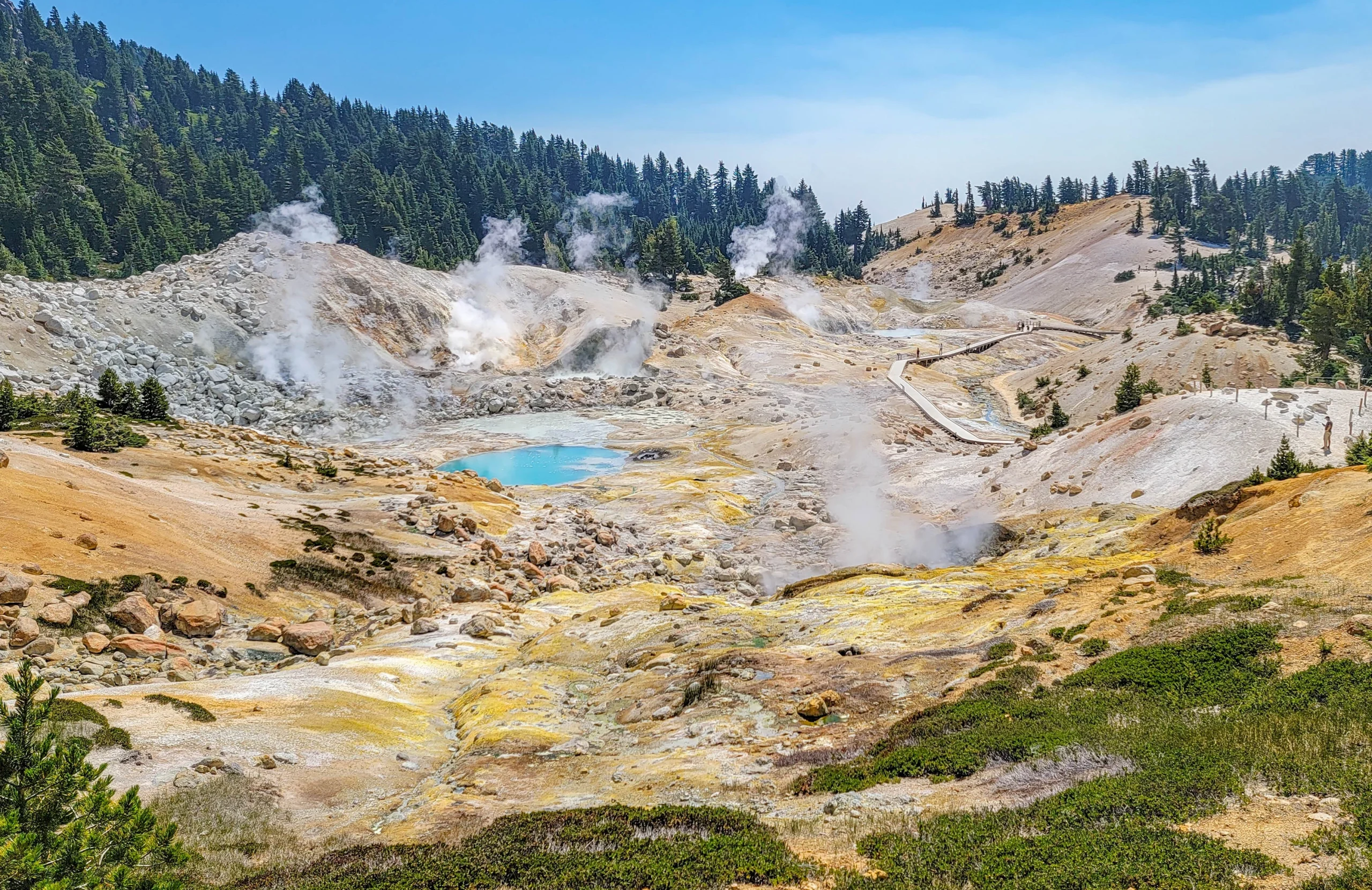
Bumpass Hell Trail – Lassen Volcanic NP – California
The Bumpass Hell Trail is a 3-mile (4.8 km) round trip hike to the largest hydrothermal area in Lassen Volcanic National Park, a 16-acre (6.5 ha) basin of boiling mudpots, fumaroles, and acid-blue hot pools. The trail runs between 8,200 and 8,400 feet (2,500 to 2,560...
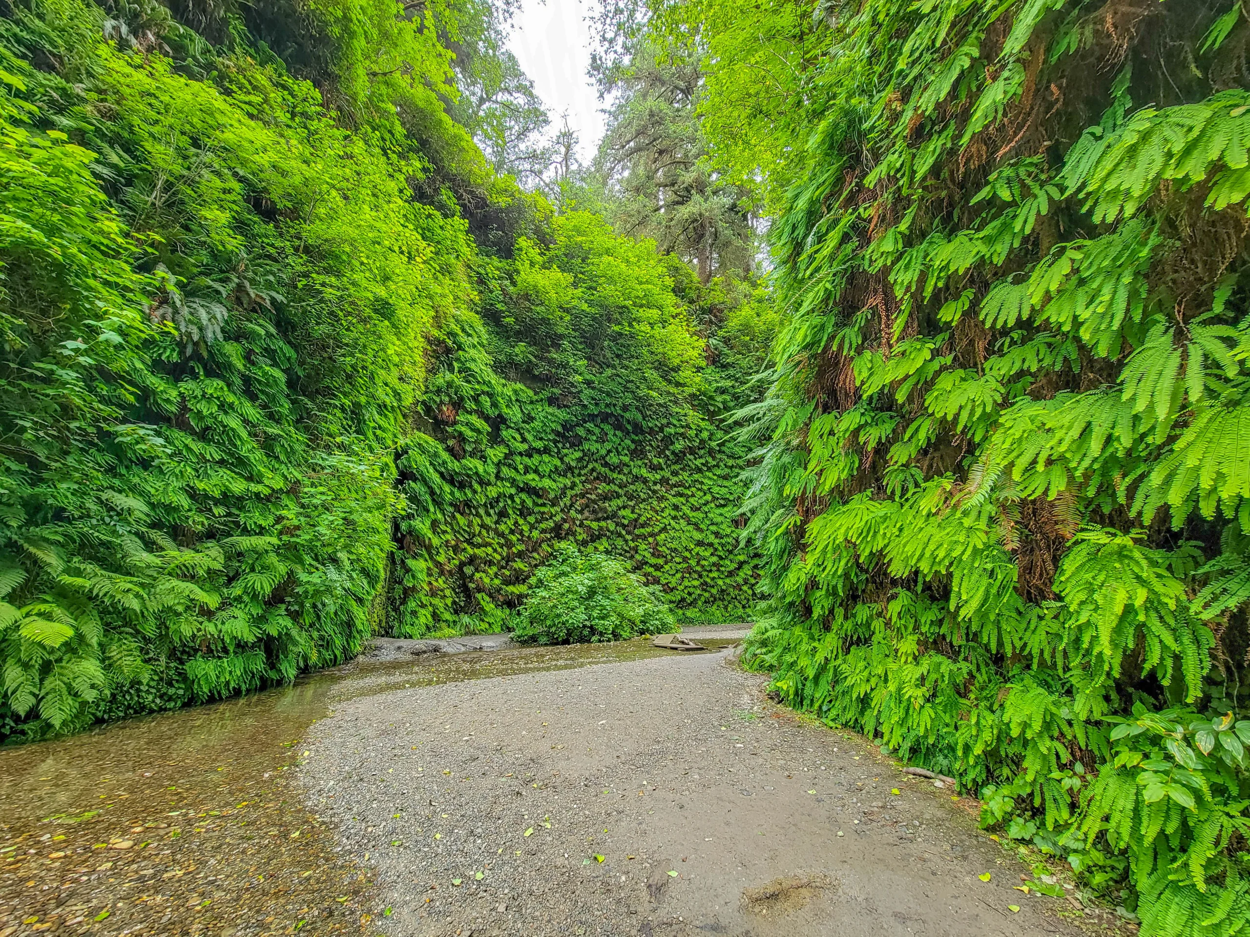
Fern Canyon – Prairie Creek Redwoods State Park – California
Fern Canyon trail is a 1-mile (1.6 km) lollipop loop through a narrow, fern-walled gorge in Prairie Creek Redwoods State Park, on the Northern California coast about 50 miles (80 km) north of Eureka. The trail climbs roughly 150 feet (46 m) and takes at least 30...
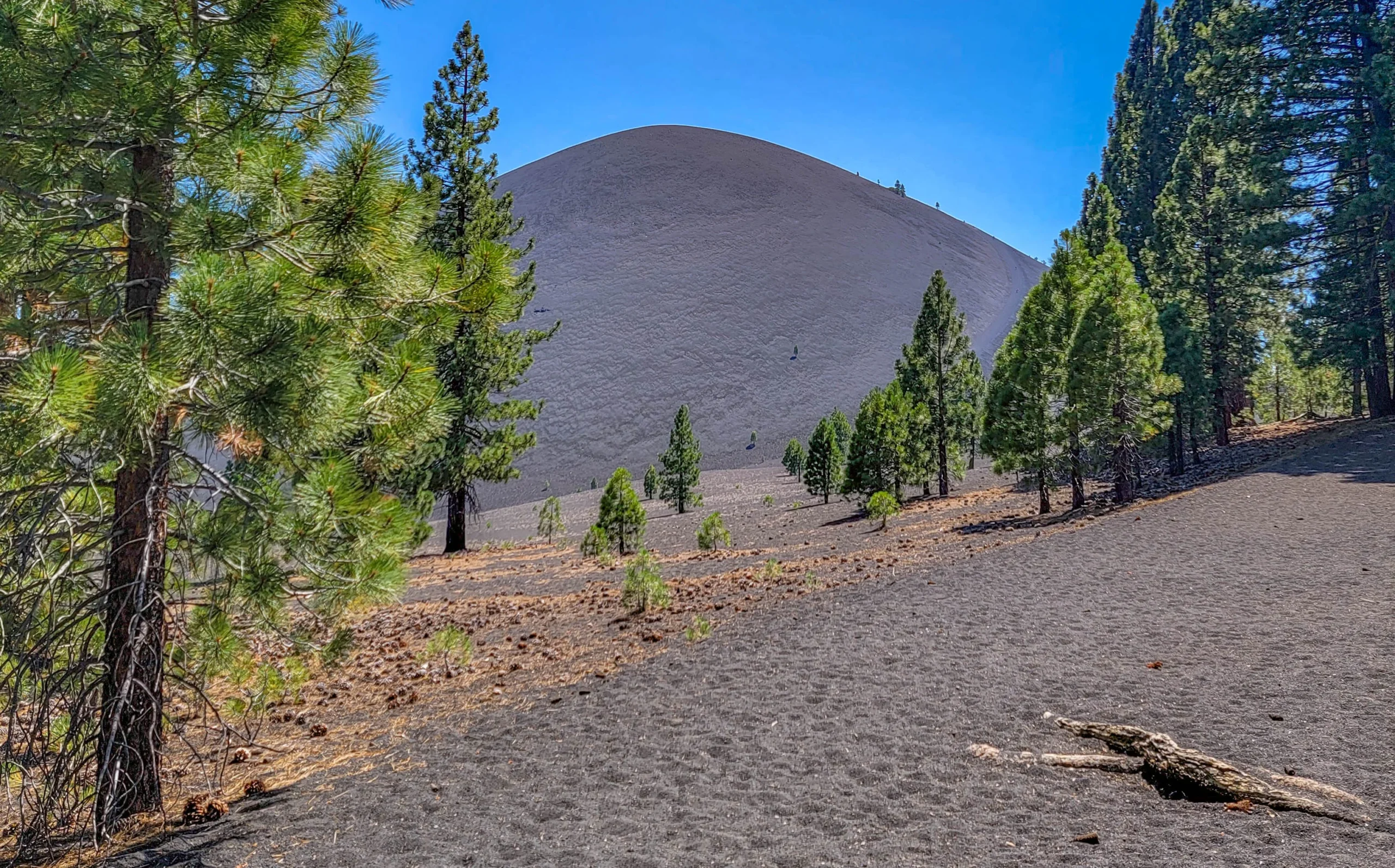
Cinder Cone Trail – Lassen Volcanic NP – California
The Cinder Cone Trail is a 4-mile (6.4 km) round trip hike to the summit of a 700-foot (213 m) volcanic cinder cone in the northeast corner of Lassen Volcanic National Park. The trail climbs 846 feet (258 m) from the Butte Lake trailhead at 6,061 feet (1,847 m) to the...

Avenue of the Giants – Humboldt Redwoods SP – California
The Avenue of the Giants is a 31-mile portion of historic Highway 101 (now Route 254), which runs along the Eel River from the North entrance near Pepperwood to the South entrance just south of Phillipsville. The Avenue of the Giants is reported to be one of the most...
The Pinellas Trail – St Petersburg’s Iconic Rails to Trails
The Fred Marquis Pinellas Trail is a 75-mile, paved, multi-use trail extending from downtown St. Petersburg, Florida to Tarpon Springs. The Trail, created along a portion of abandoned railroad corridor, provides a unique, protected greenspace for walking, jogging,...

Antelope Island State Park – Salt Lake City – Utah
Antelope Island State Park is a Utah State Park on an island 25 miles north of Salt Lake City. Antelope Island is more than 28,000 acres (11,340 ha) of rolling fields and hills, and is 15 miles (24 km) long and 4.5 miles (7.2 km) wide. The island is accessed by a...

Rails Trails – Chesapeake & Ohio Canal National Historic Park
The Chesapeake & Ohio Canal National Historic Park Canal Trail isn't really a rail trail, it started as a towpath along the canal. But, it's so scenic and in such a great area that it had to make our list! The 184.5 mile long Chesapeake & Ohio Canal is located along...

US National Whitewater Center – Charlotte NC
The US National Whitewater Center in Charlotte NC has 1,300 acres of protected land offering 40 miles of mountain bike and hiking trails; the world’s largest man made, recirculating whitewater river; a large ropes course and zip lines; and flat water access to the...
International Locations
No Results Found
The page you requested could not be found. Try refining your search, or use the navigation above to locate the post.